
In the AEC world, site selection can make or break a project—yet it’s often rushed, under-scoped, or delegated too early in the process. For a decision that locks in long-term costs, timelines, and operational feasibility, it’s surprisingly easy to get wrong.
AEC firms that treat site selection like a logistics exercise often face delays, rework, and downstream disputes. The most successful teams treat it for what it is: a strategic planning tool and risk mitigation layer that sets the tone for everything that follows.
The financial impact of site selection isn’t just about the land price. It’s about everything that site commits you to. A well-chosen location can reduce shipping costs, attract top talent, simplify permitting, and lower your long-term tax burden. A poor one does the opposite—quietly draining profit over the project’s lifecycle.
Take labor access, for example. If a site is too far from population centers, attracting and retaining skilled workers becomes much harder. Over time, that translates into higher recruiting costs, higher wages to compensate for travel, and added training costs. Site selection guides consistently point out that proximity to a reliable labor pool is one of the strongest predictors of a project’s long-term viability.
Then there’s permitting. A site with zoning mismatches or conservation overlays can derail a schedule by months. Worse, it can force expensive design compromises when you're already mid-process.
Every site carries its own long tail of operating costs. Location dictates:
A 5% discount on land doesn’t mean much if you’re spending 20% more on ops every year.
Most experienced site selectors use a five-factor framework. These aren’t just boxes to check—they’re interdependent systems that reveal the true cost and feasibility of a site.
Is the site close to suppliers, markets, and your workforce? For industrial builds, this means highway and rail proximity. For commercial sites, visibility and walkability matter more. A lack of transport infrastructure leads to higher logistics costs and slower execution.
Is the site zoned appropriately? Can you get the permits you need without delay or risk of appeal? Are there easements or environmental overlays? These questions often get pushed to legal too late—and by then, the site might already be locked in.
What’s the total cost of ownership? That includes land price, of course, but also taxes, local wages, ongoing maintenance, and the value of any incentives. Smart teams negotiate incentive packages up front—before the site is locked and leverage is lost.
Are utilities available, or will you need to extend them? What's the condition of roads, rail spurs, sewer lines? These aren’t small details—delays here can stall projects for quarters, not weeks.
What’s under the surface? Poor soil conditions, flood risks, or seismic vulnerabilities can turn a great-looking site into a liability. A geotechnical report isn’t optional—it’s foundational.
Taken together, these factors shape more than just the build—they shape the business case.
It’s rarely one big mistake—it’s usually a series of small ones.
And perhaps most common: treating site selection as a technical decision rather than a strategic one.
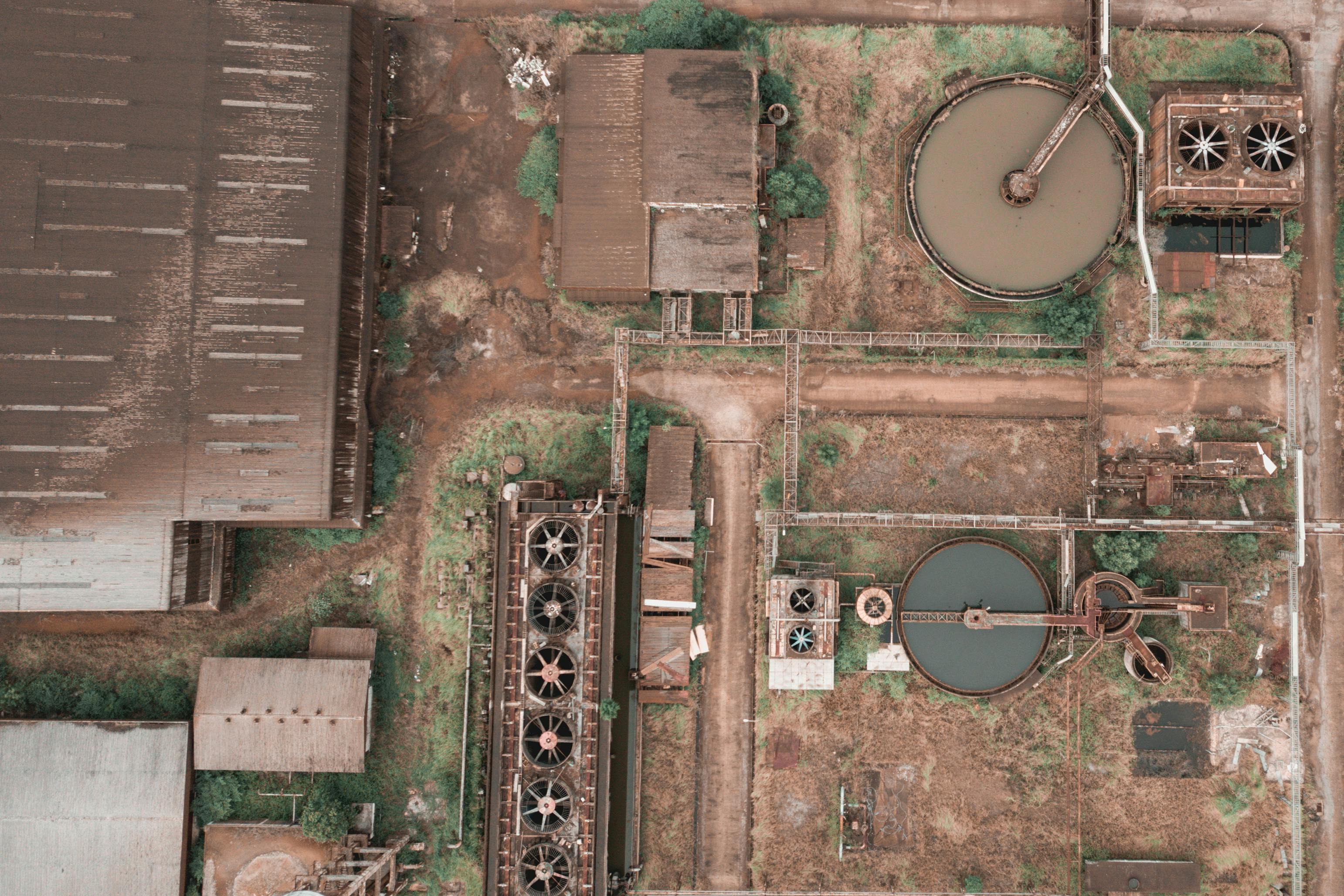
Traditionally, site evaluation meant site visits, survey teams, and days (or weeks) of manual data collection. Now, high-resolution aerial imagery and mapping tools give teams the ability to:
Compared to satellite or flyover imagery, drone-based surveys offer faster turnaround, better resolution, and lower cost—especially when evaluating multiple candidate sites.
More importantly, drone data integrates with GIS, BIM, and other systems—creating a centralized, shareable source of truth that speeds up decision-making and reduces field visits.
Modern construction projects are moving toward real-time, integrated data environments. That means:
This isn’t just tech for tech’s sake. It prevents delays, aligns stakeholders, and reduces costly surprises. A single source of visual and geospatial truth helps avoid disputes and streamline regulatory approvals.
Put simply: if your site data is static, fragmented, or out-of-date, your risk goes up—and your schedule slows down.
Site selection isn’t just a preliminary task—it’s the decision that defines your timeline, risk profile, and profitability. A strong site strategy doesn’t start with land price. It starts with alignment between the project’s needs, the team’s expertise, and real, ground-truth data.
The most successful firms pair a rigorous, multi-factor evaluation process with modern imagery and data tools—not to impress stakeholders, but to eliminate blind spots and reduce risk.
Explore how Spexi’s aerial imagery can help you assess, compare, and validate candidate sites—before you commit.👉 Visit our AEC solutions page
