
When Cities Can’t See Clearly, Everything Slows Down
Municipalities, emergency teams, and bylaw officers rely on fast, accurate data. Curb ground-level visibility delays & widening assessment gaps with Spexi. The only platform delivering ultra-high resolution, standardized drone imagery at scale.
How Spexi Helps Cities & Municipalities Innovate
From zoning and development to disaster response, infrastructure inspections to property assessments Spexi gives cities the visibility they need to act faster, spend smarter, and deliver better public outcomes.
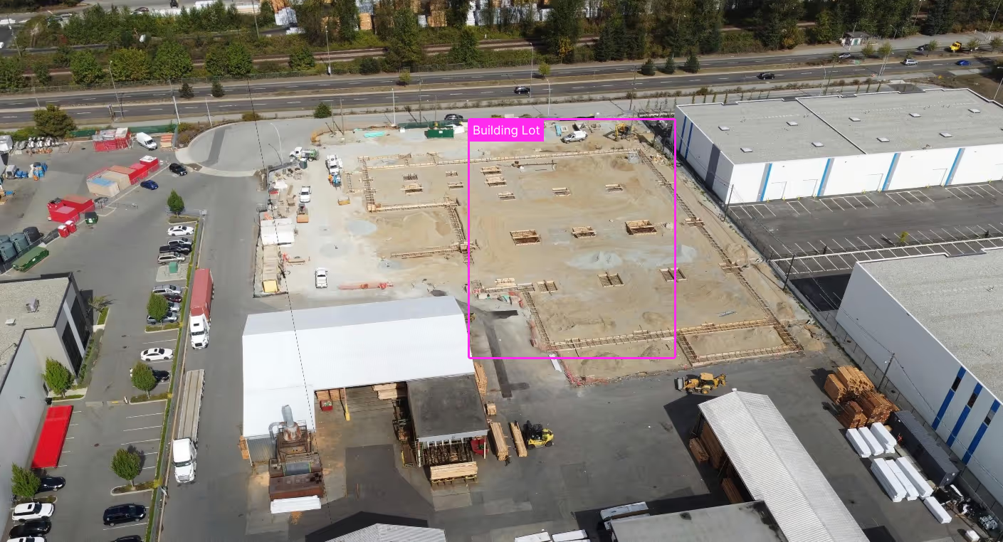
Urban Planning & Development
Outdated maps and slow surveys stall projects before they start. Spexi's high-resolution imagery delivers current, centimeter-accurate data—giving planners a real-world, 3D view of zoning, terrain, and land use. Visualize proposed developments, reduce redesigns, and cut planning timelines by weeks.
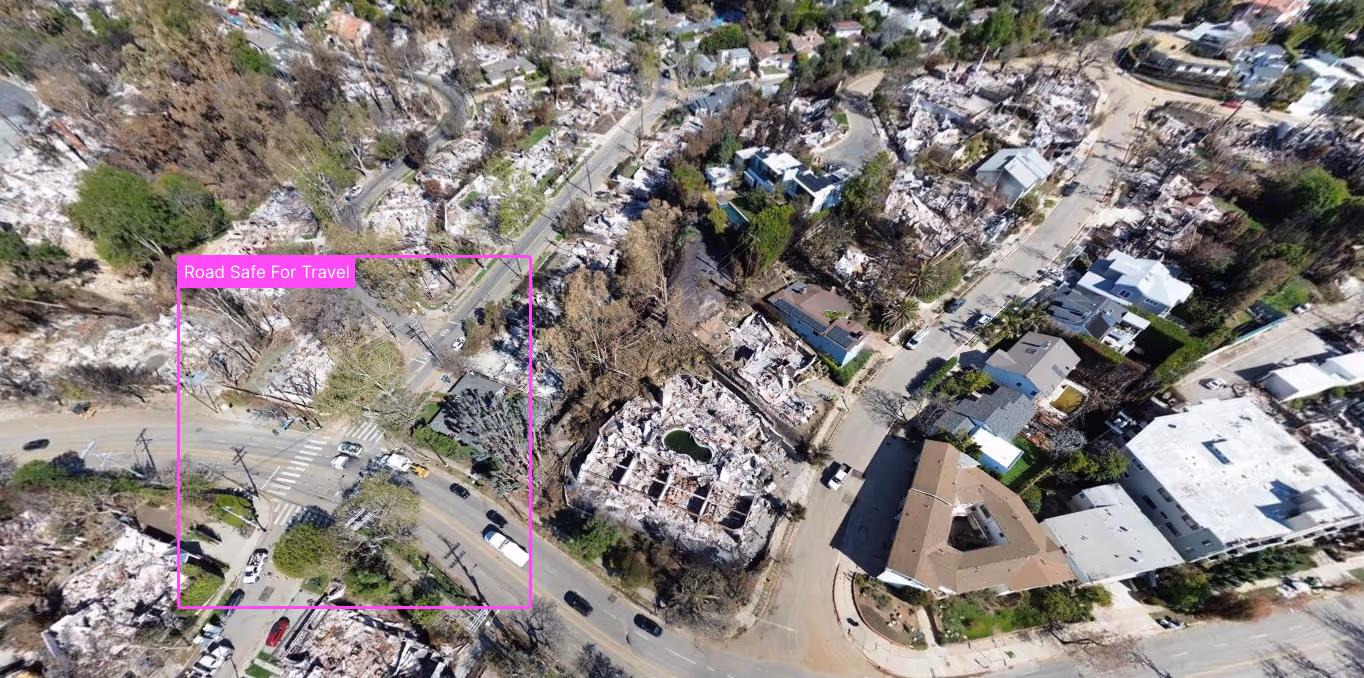
Emergency Management & Public Safety
Disasters demand speed. Traditional response teams often fly blind in the early hours due to poor visibility, blocked access, or limited comms. Spexi's on-demand capture provides situational awareness within hours—mapping damage, guiding responders, and reducing risk to human personnel. It's the difference between reacting late and responding smart.
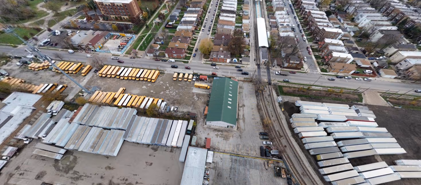
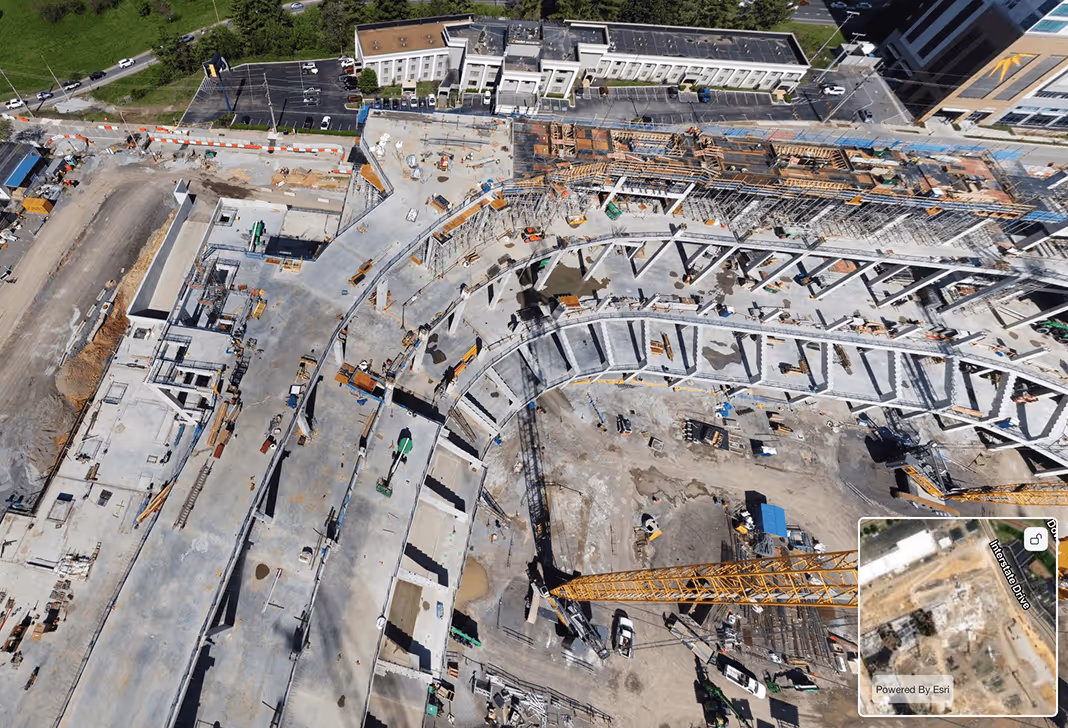
Infrastructure & Asset Management
Manual inspections eat time and budget—and they often miss early signs of failure. Spexi imagery captures detailed imagery of roads, bridges, utilities, and facilities without shutting them down. Detect cracks, corrosion, and vegetation encroachment early, and move from reactive fixes to proactive maintenance planning.
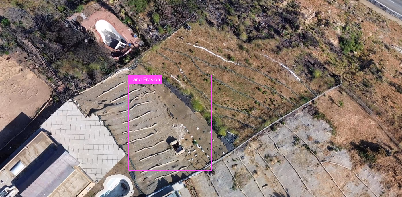
Environmental Monitoring
Manual sampling and field inspections can’t scale across large parks, waterways, or protected areas. Spexi’s imagery enables change detection over time, flags violations quickly, and keeps sustainability goals on track—with less manpower.
Property Assessment & Taxation
Hidden home additions and unreported changes lead to tax revenue leakage. Spexi imagery reveals what’s really there—decks, sheds, pool installations, roof upgrades—without sending someone door to door. Assessments stay accurate, fair, and defensible, improving compliance while reducing costly field visits.
Faster Decisions. Lower Costs. Stronger Cities.
Spexi taps into a network of drone pilots, each equipped to capture fresh aerial imagery. Our platform automates flight planning, data collection, and processing, so you get clear, detailed views on demand.
01. Spot Scans + Wide Coverage
Only pay for the data you need—whether it's a single site or a city-wide scan, Spexi makes aerial imagery coverage scalable and cost-effective.
02. Reinvesting in Your Local Economy
Pilots from Your Local Community. When you work with Spexi, you’re working with your local community.
03. Fresh Data, Whenever You Need It
Request on-demand imagery as often as needed delivered faster and with 97% less carbon impact than traditional flyovers.
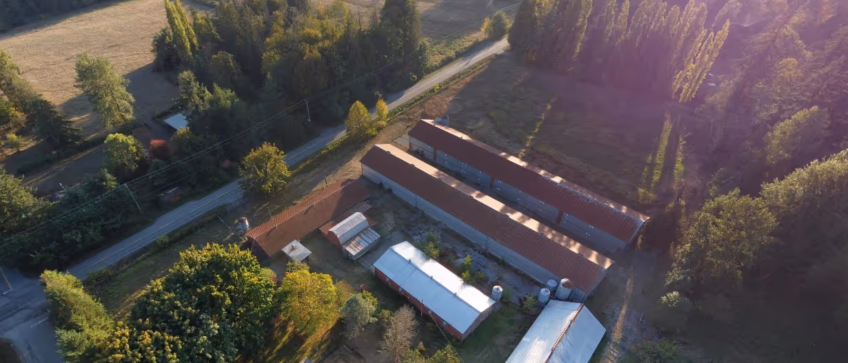
Trusted by Municipalities, Proven in the Field
Explore high-resolution aerial imagery through our browser-based World Viewer or plug directly into your workflow with our API.


For AEC platforms, general contractors, and infrastructure firms managing projects at scale. Our APIs give you fast, flexible access to high-resolution aerial data across your entire portfolio.

Technology That Scales With Your City
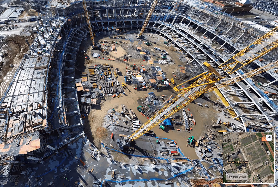
Get the aerial imagery you need, when you need it. Spexi delivers high-resolution aerial data in near real-time, enabling faster inspections, better disaster response, and smarter planning giving AEC firms the intelligence to act with confidence.

Aerial Data Everyone Can Use, Instantly
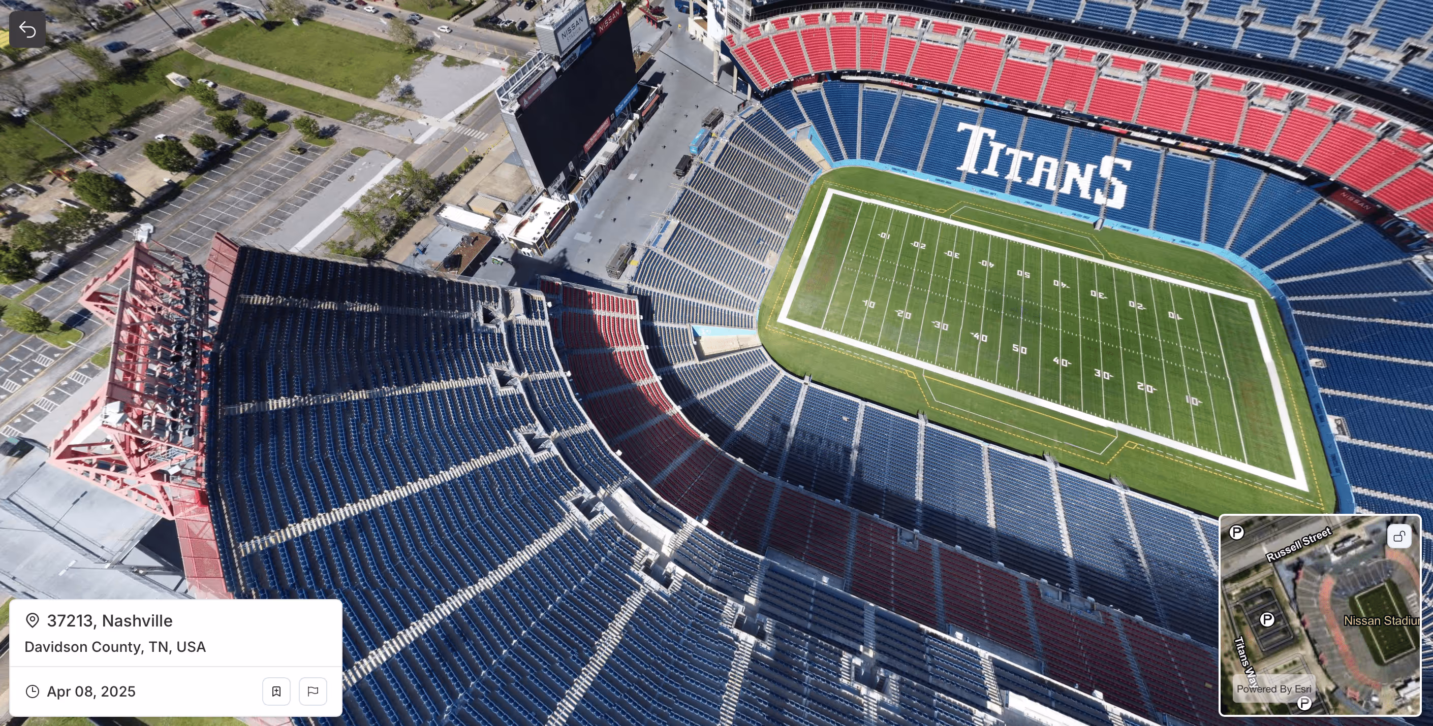
Put the latest aerial data in the hands of every stakeholder. Spexi’s browser-based map viewer makes it easy for teams to access, review, and act.

Consistency You Can Trust, Across Every Flight
No matter who flies, standardized flight path and capture methods ensure reliable aerial data that delivers consistent imagery you can compare over time.

Deploy Drone Coverage in Hours, Not Weeks
Whether it's a flood, fire, or infrastructure failure, Spexi enables AEC firms to request and receive up-to-date aerial imagery in hours or days, not weeks.

Built for Speed, Designed for Compliance
Pilots on the Spexi Network operate exclusively with sub-250g drones, allowing them to fly faster and with fewer regulatory hurdles. That means no lengthy approvals, less red tape, and quicker access to the imagery you need.
Smarter Decisions Start With Better Data
