
Order standardized drone imagery directly from the Content Store for ArcGIS.
No contractors. No coordination. No fragmented workflow.
.webp)
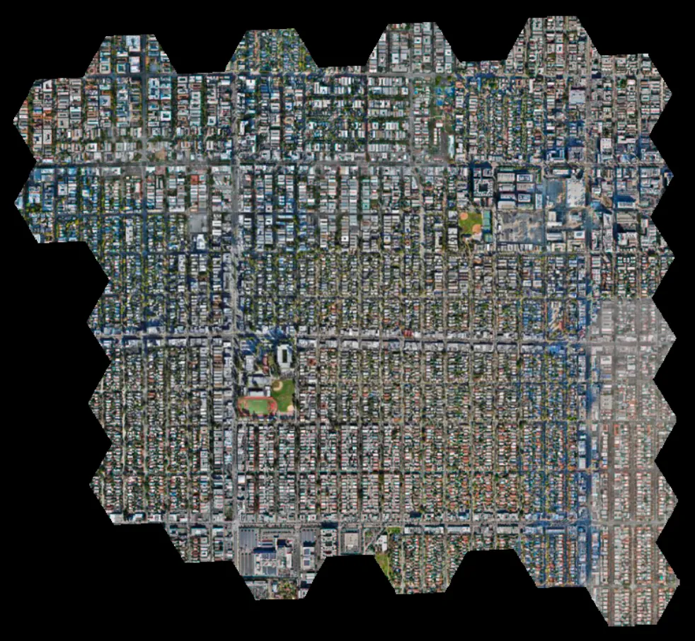
Instant access to your fresh base layer
Keep authoritative spatial layers up to date
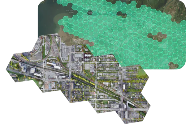
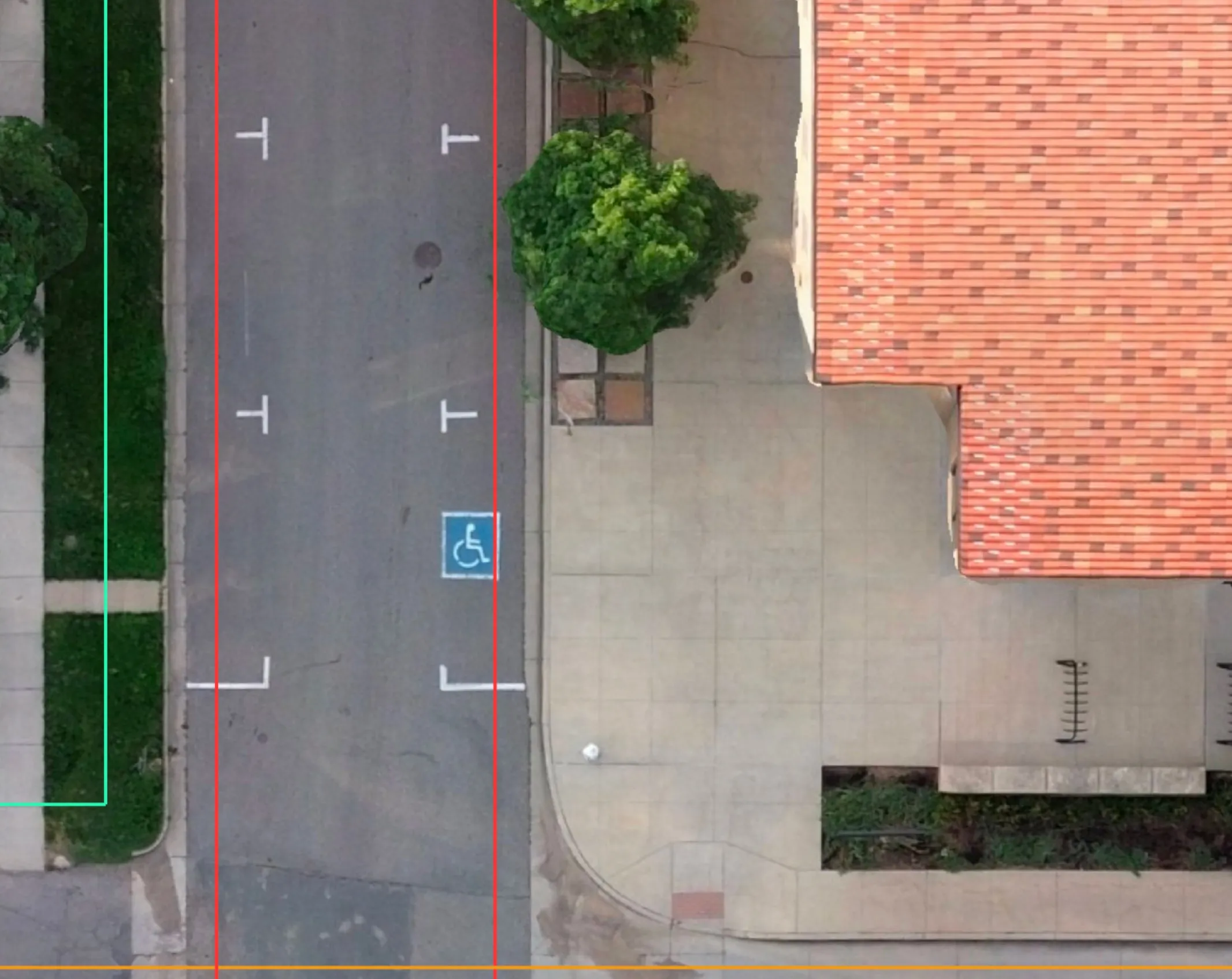
Visualize areas of interest in high quality
Programmatically access imagery for locations of interest
View the side facades of buildings and objects
Filter images based on image angle, orientation, and more
Faster validation of work orders from the field
Maintain operational context for managing assets
Improve safe decision making during emergency and incident response
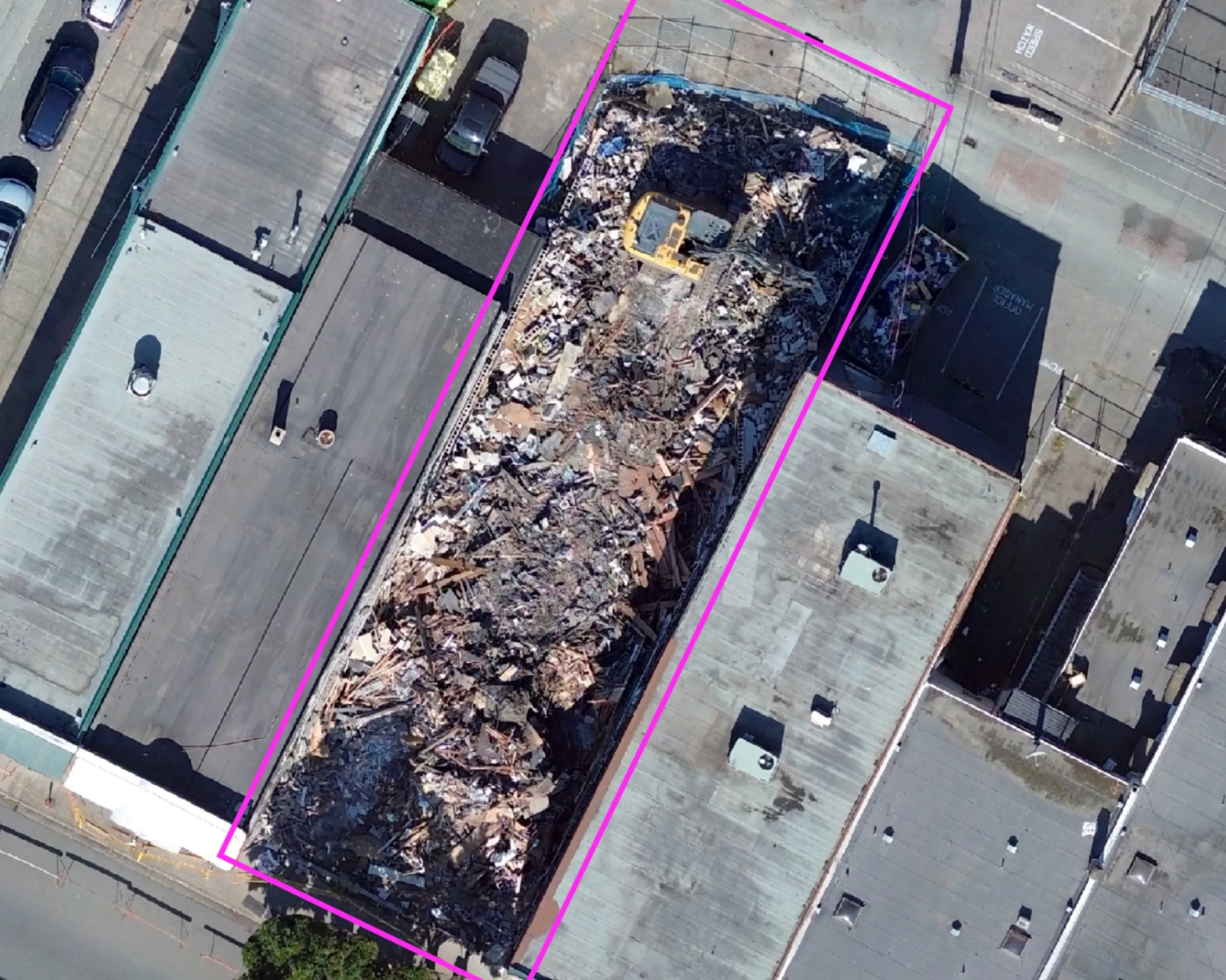
Permit and development verification
Compliance and enforcement documentation
Change detection for planning and public works

Vegetation management for power lines
Storm and emergency response validation
Reduced field dispatch for routine verification

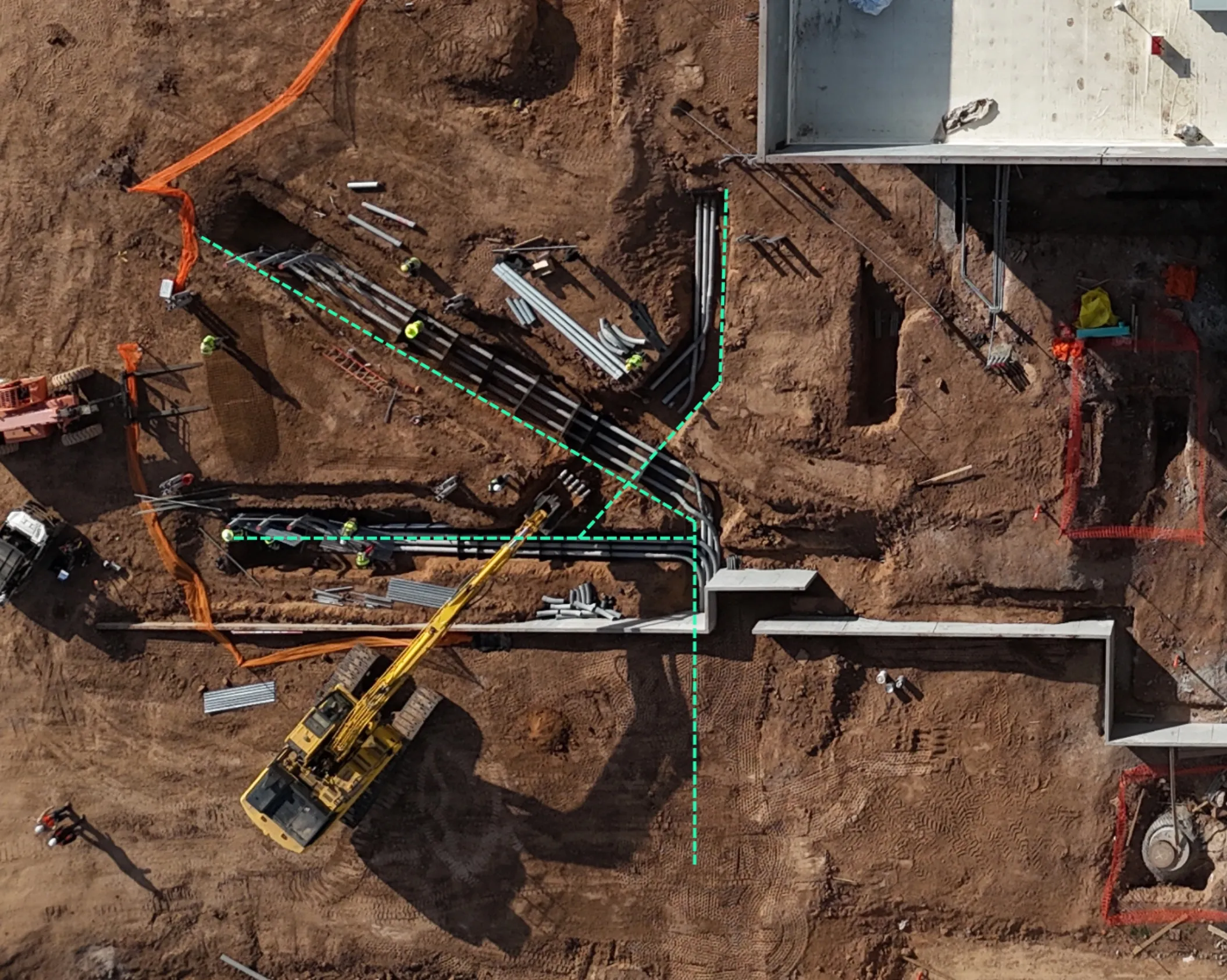
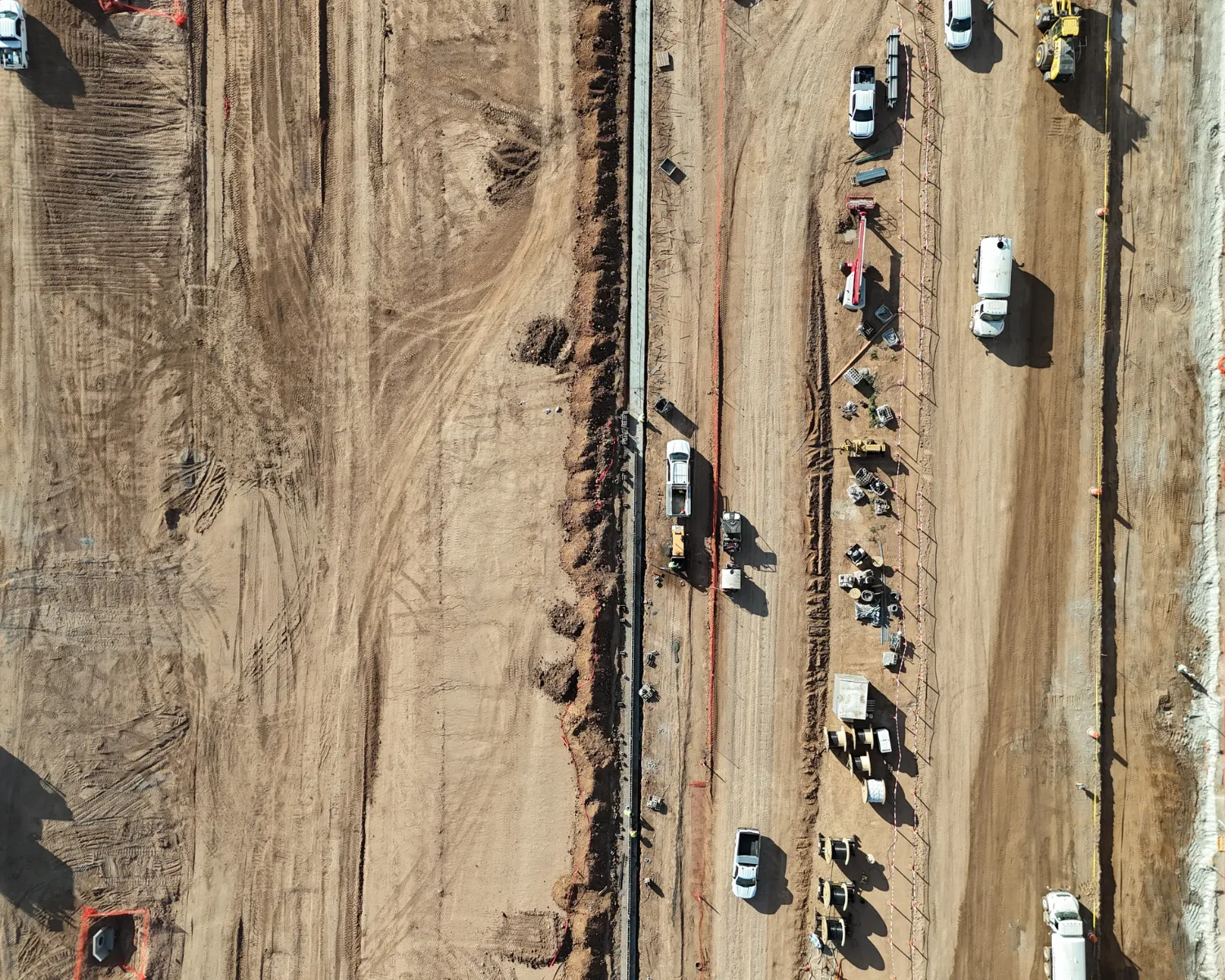
Pre-construction site validation
Ongoing progress verification
Fewer change orders driven by outdated site context
Explore how Spexi integrates into ArcGIS workflows to support faster, more defensible operational decisions using fresh, standardized imagery captured in days.


