
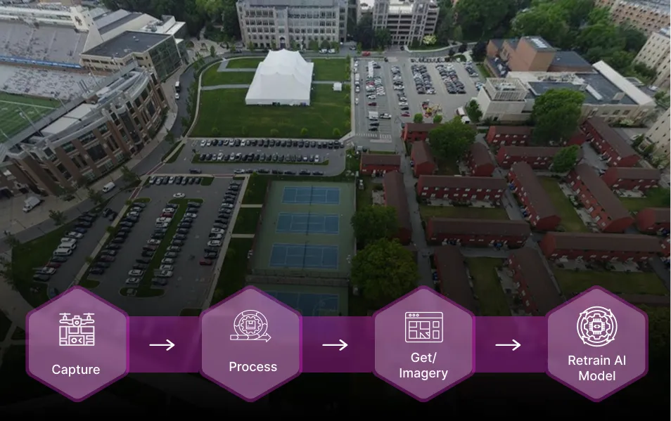
Plug Spexi into your data stack to fill gaps in ultra-high detail.
Captured by drones, delivered via API, and ready for machine learning pipelines.


Spexi delivers imagery exactly where and when it’s needed, empowering faster, smarter, and more responsible decisions.

.webp)
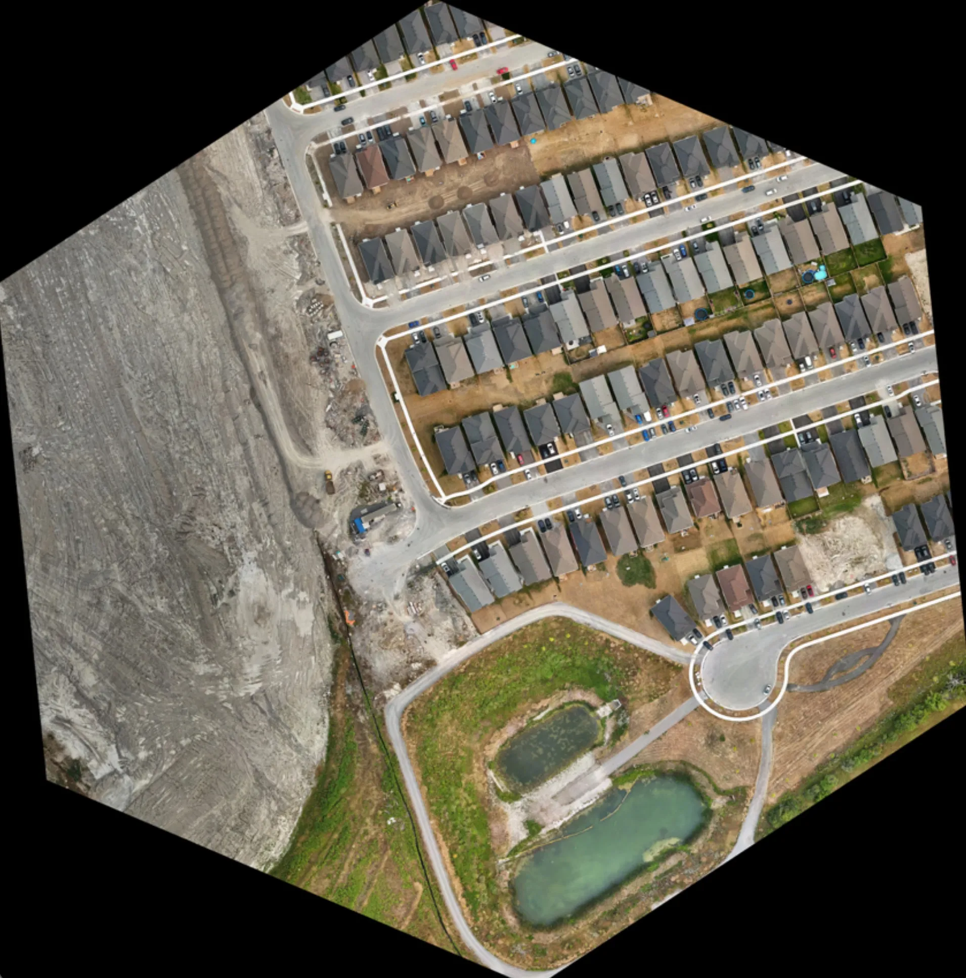
Spexi's autonomous oblique and vertical missions are purpose-built to capture the full picture - from immersive 360° panoramas to precise orthomosaics, 3D models, and Gaussian splats. Choose the output, we’ll fly the right plan.
Fresh, standardized, ML-ready imagery products generated exactly where and when your models need them. Delivered via API and optimized for spatial AI workflows.
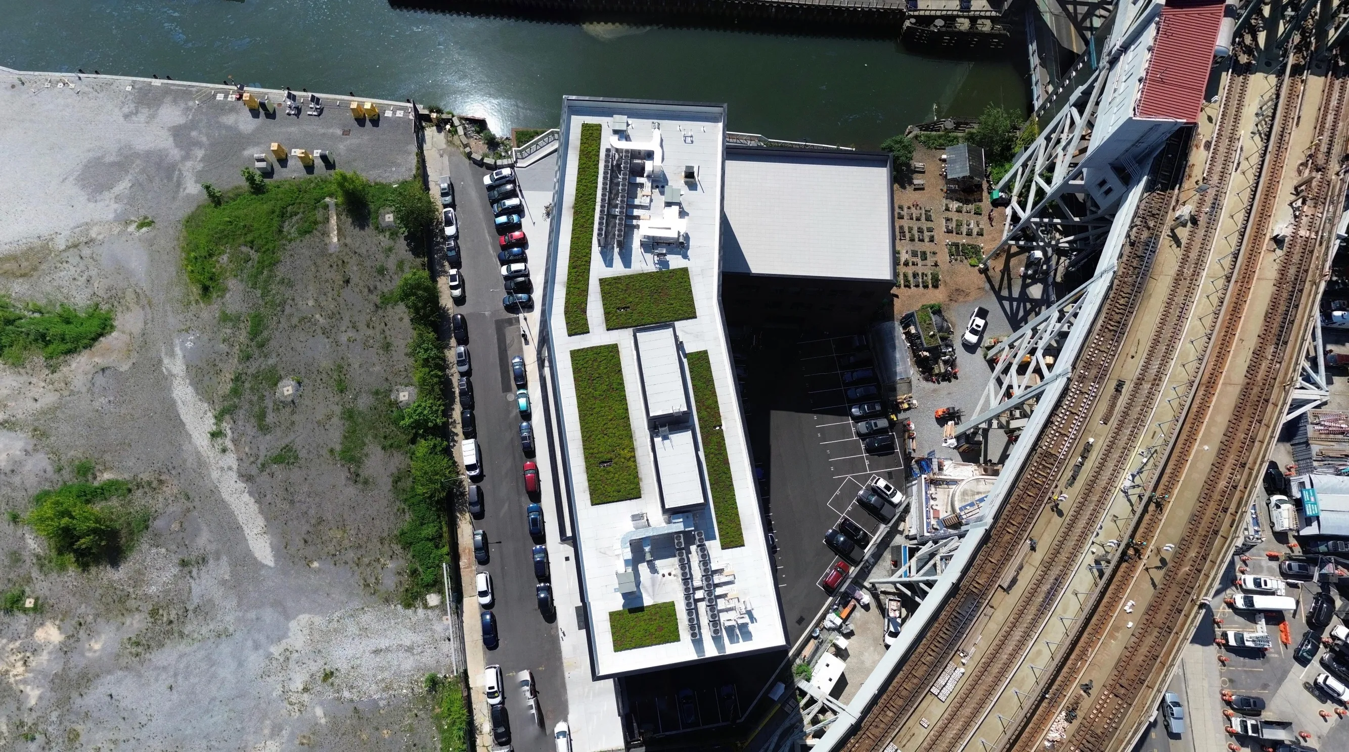
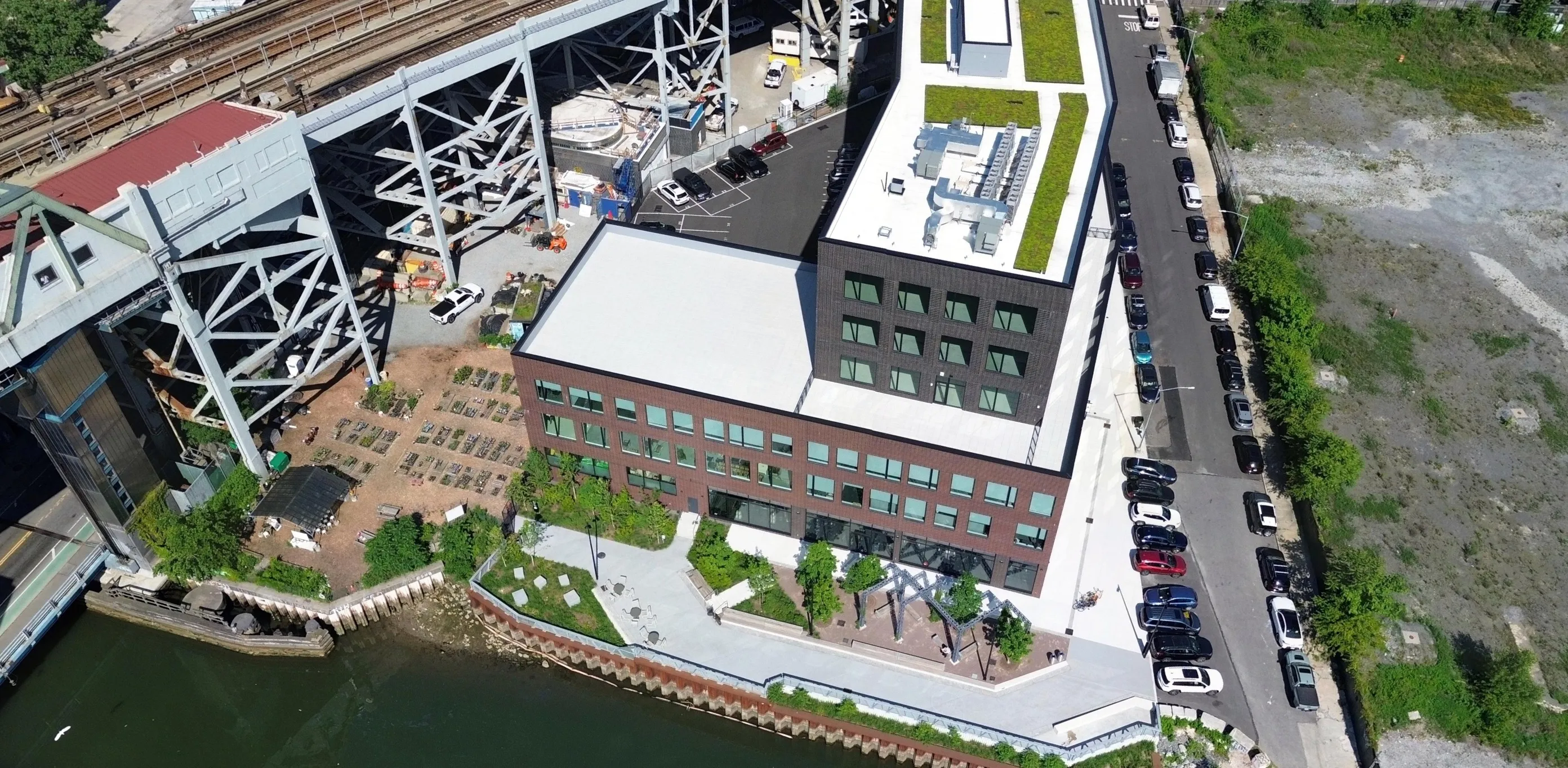
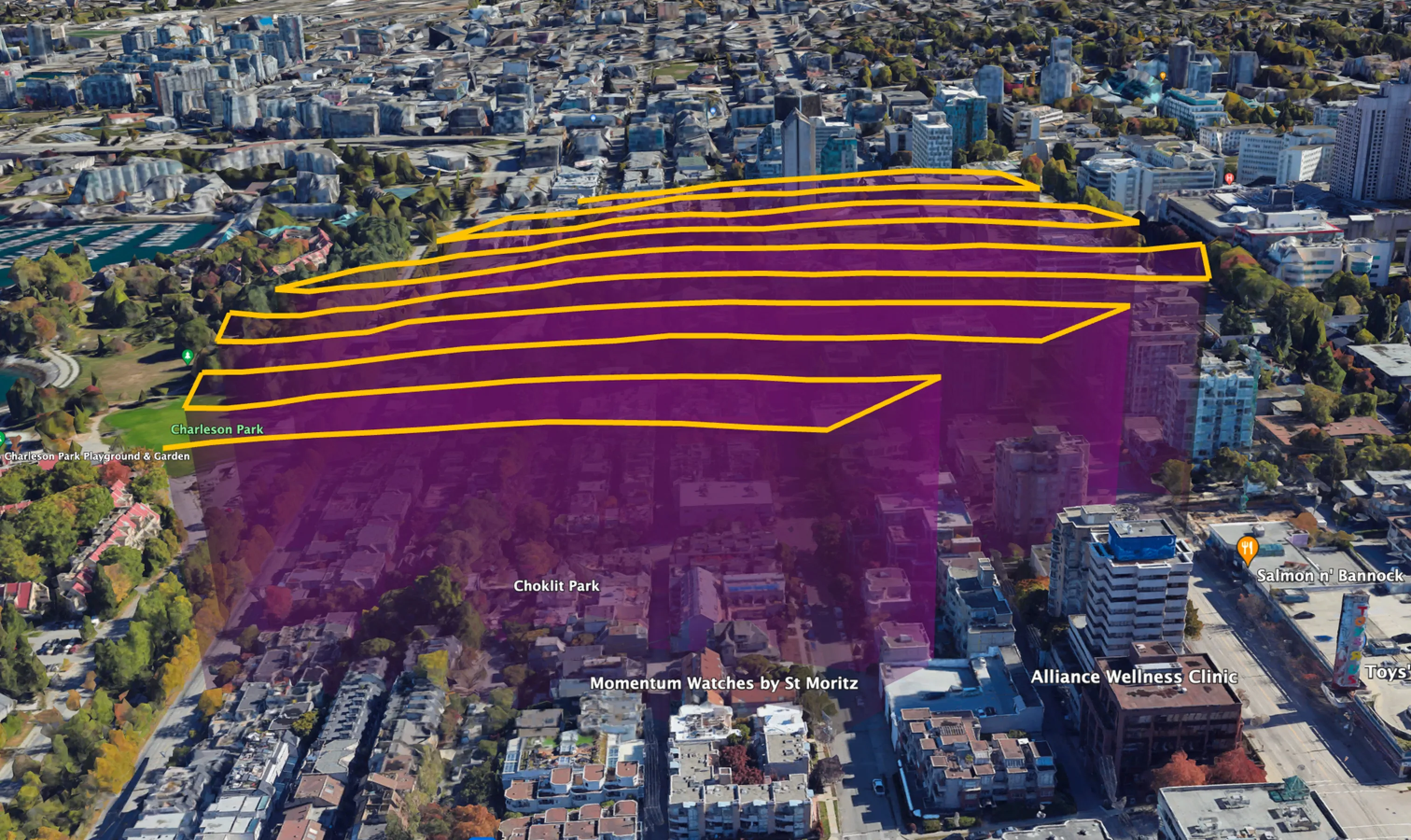
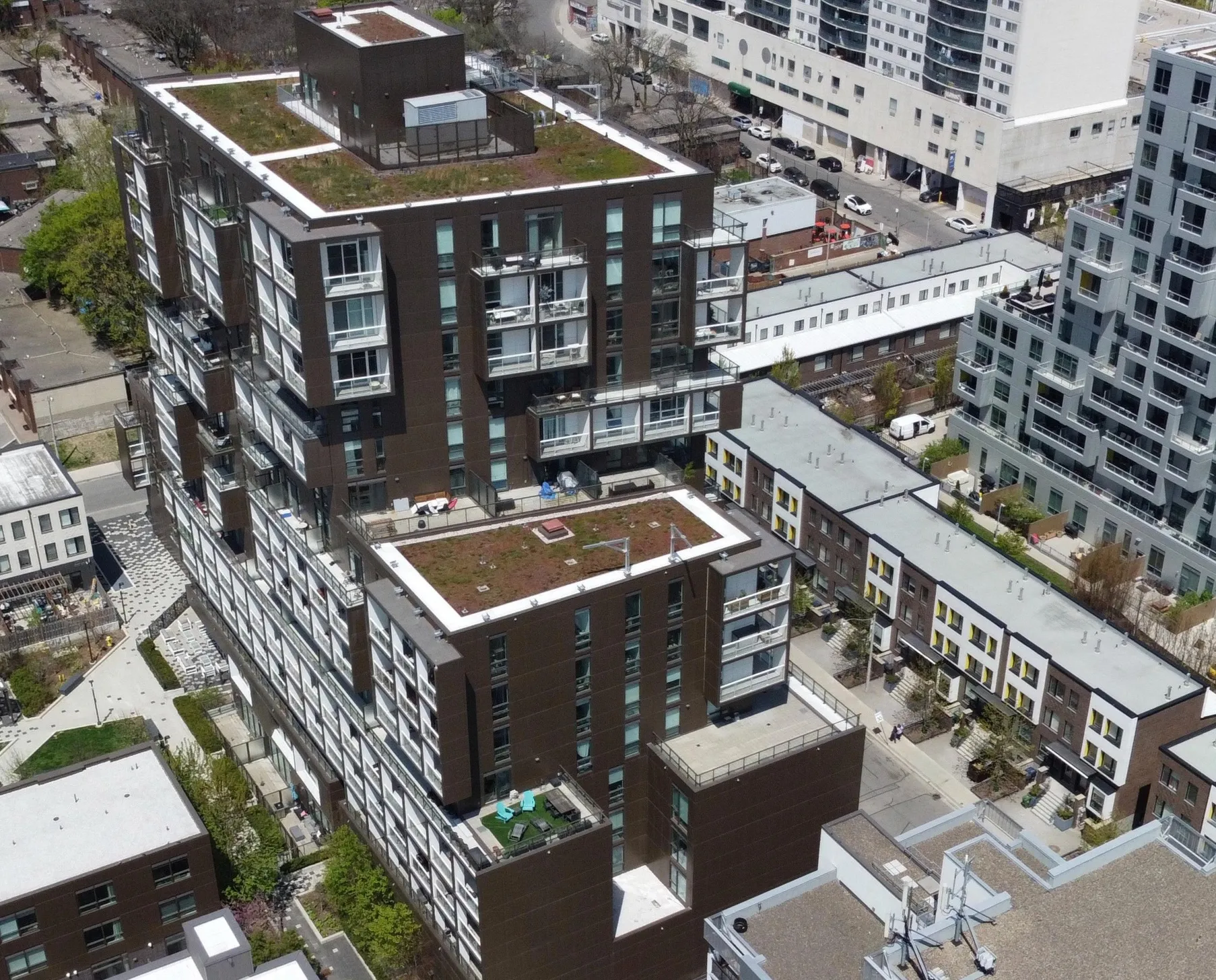
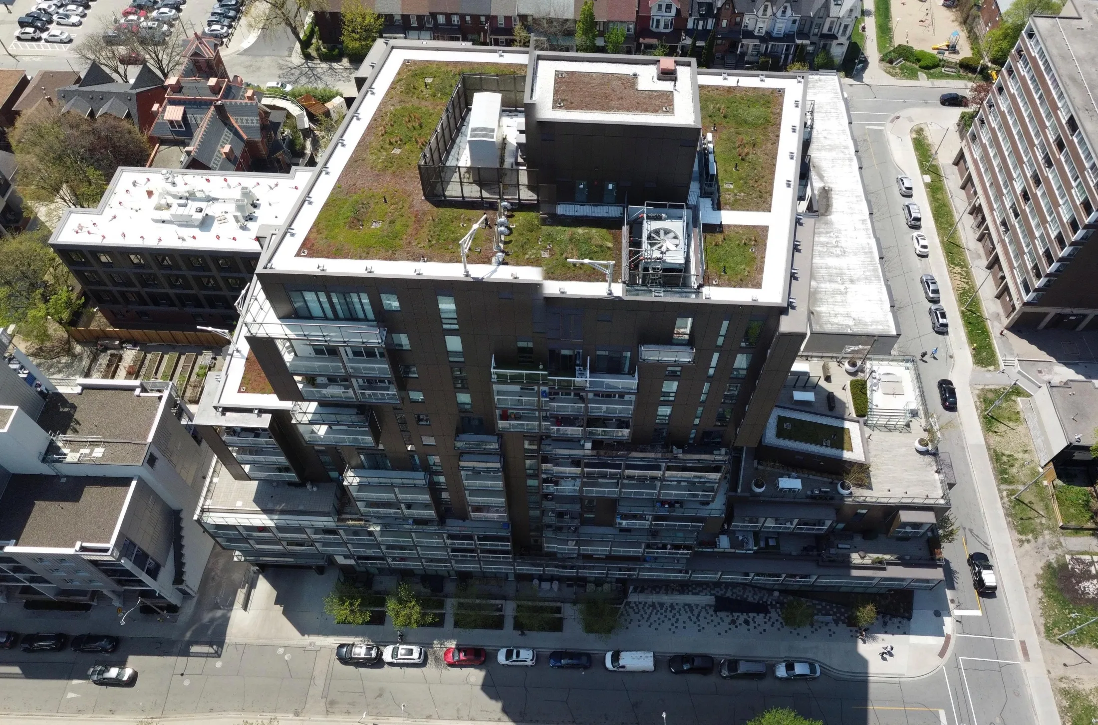
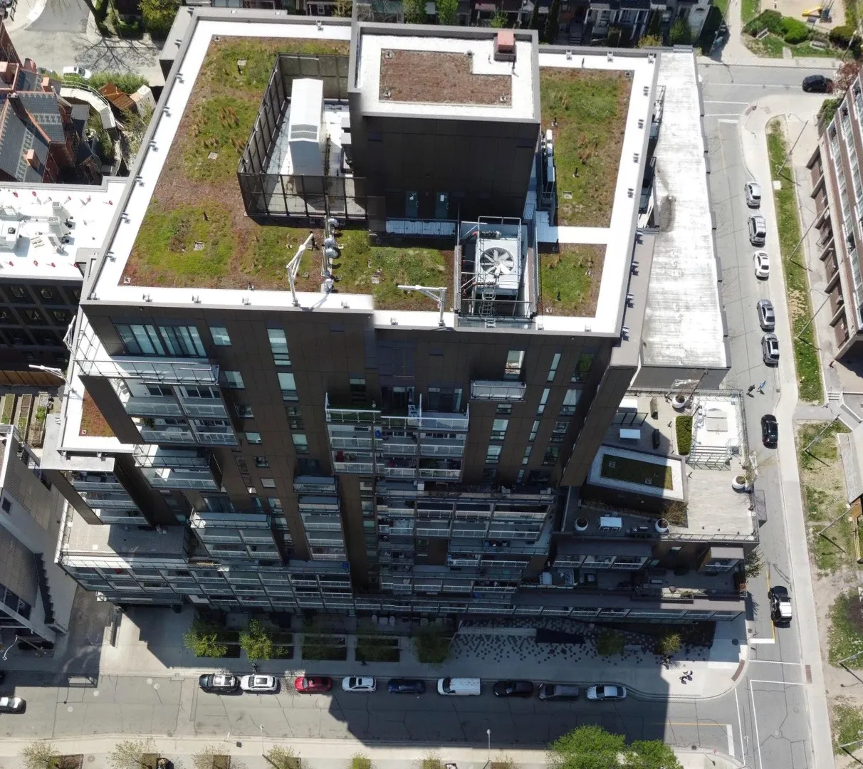
Flying the oblique flight plan, drones capture angled imagery from 7 waypoints within each Spexigon. The result: immersive 360° panoramas, ideal for aerial site inspections and tracking change over time.
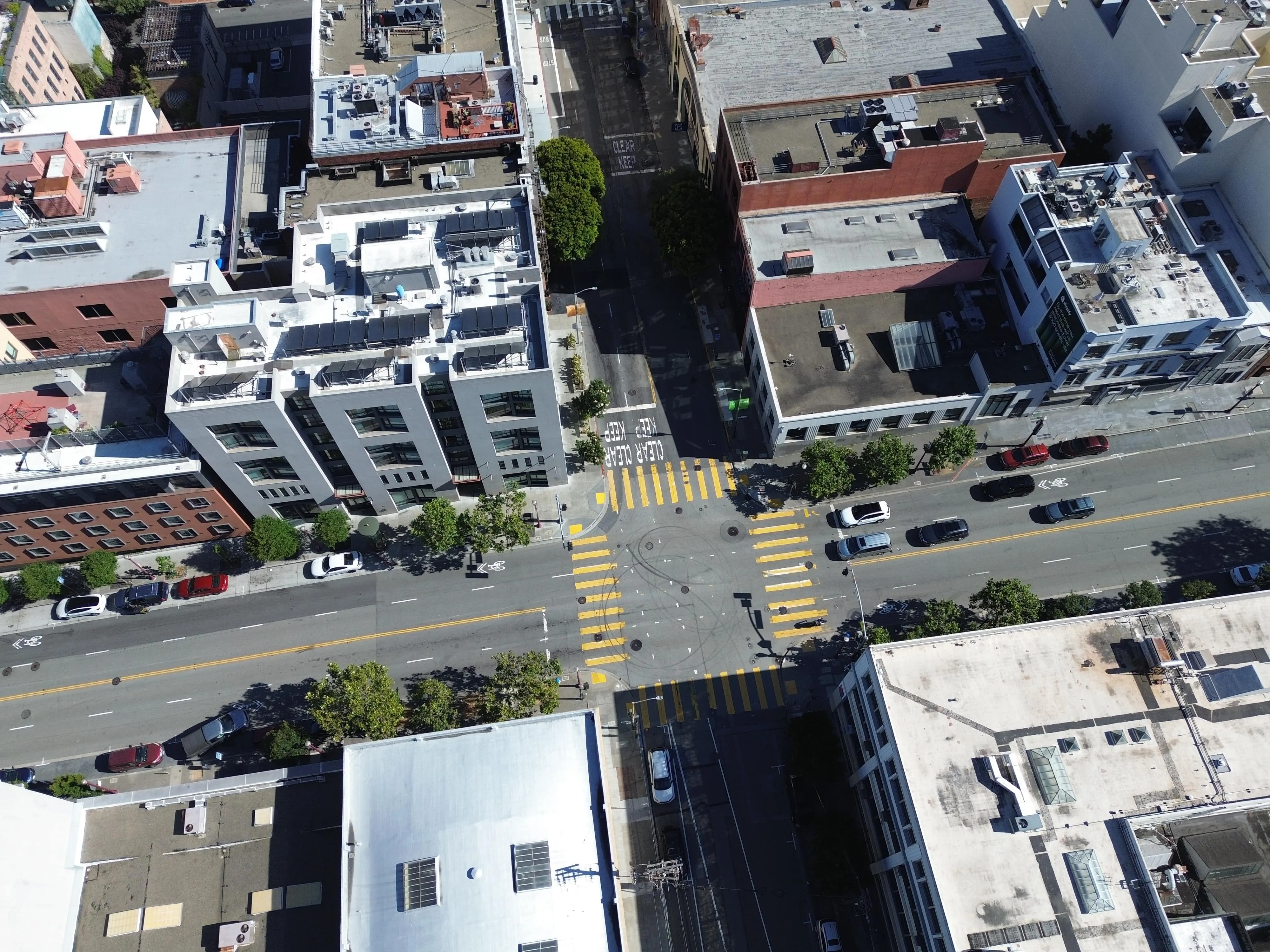
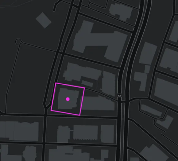
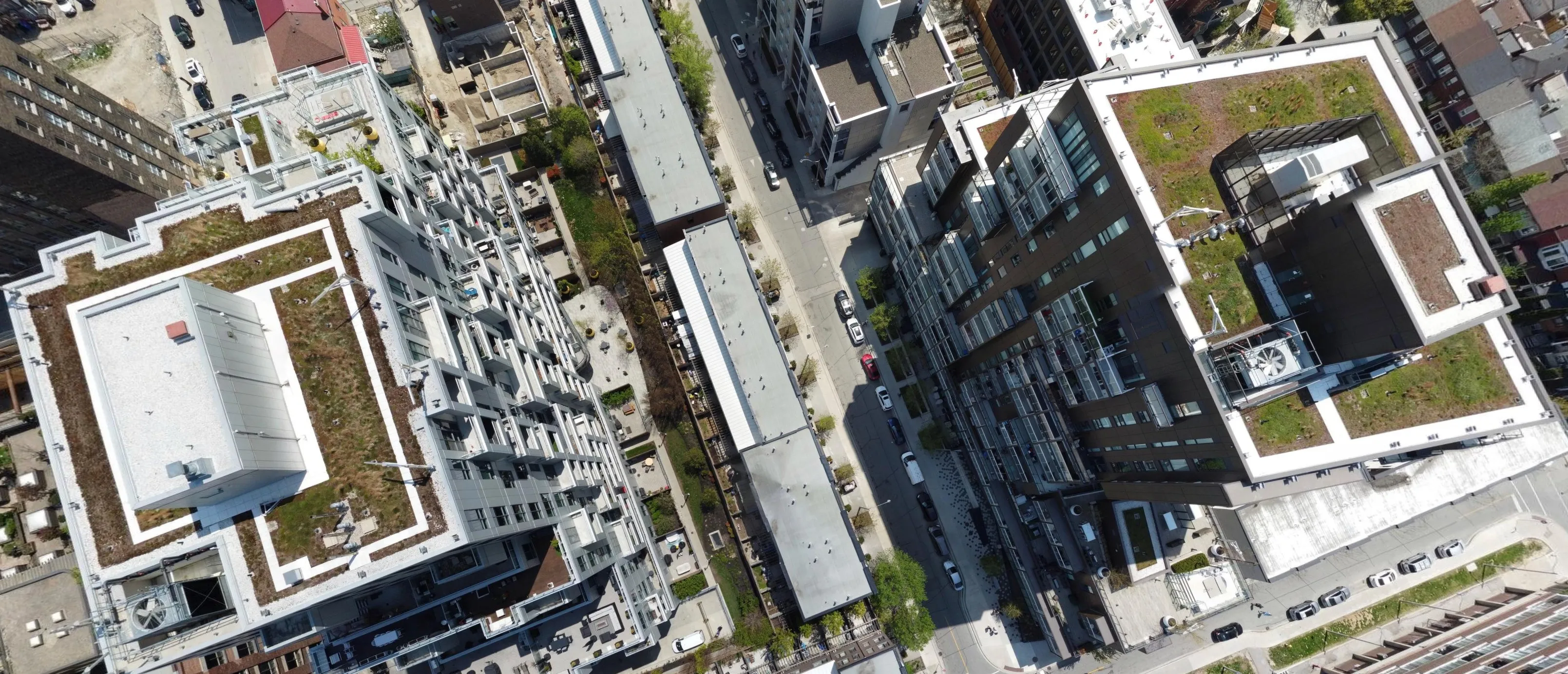
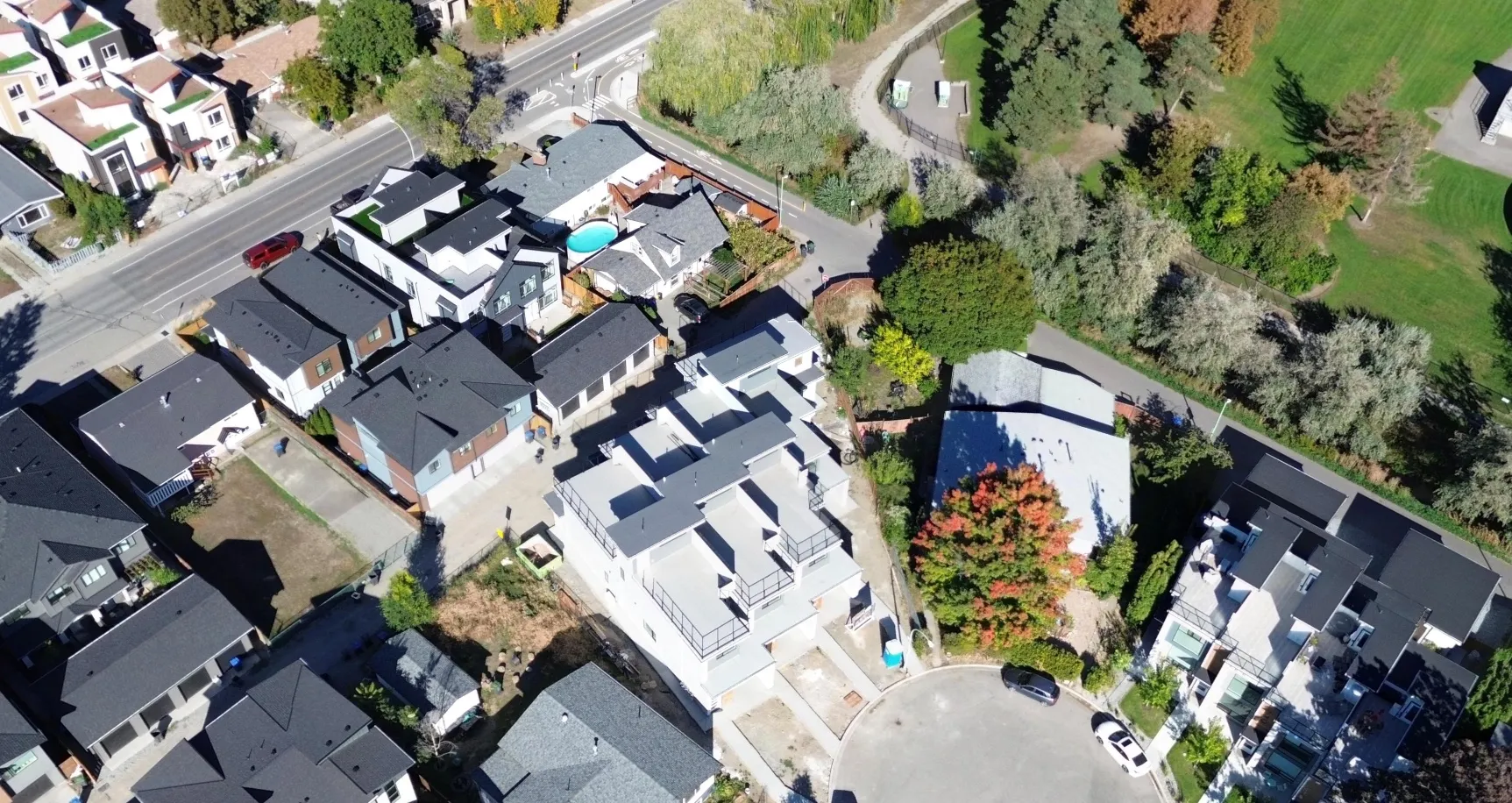
High-resolution, top down imagery stitched into georeferenced maps. Perfect for measurements, overlays, and planning with GIS precision.
Spexi leverages software and a global network of drone pilots to produce fully standardized and ultra-high resolution imagery products of Earth.
.webp)

Get fresh, high-resolution geospatial data delivered directly to your models through the Spexi API.
.webp)
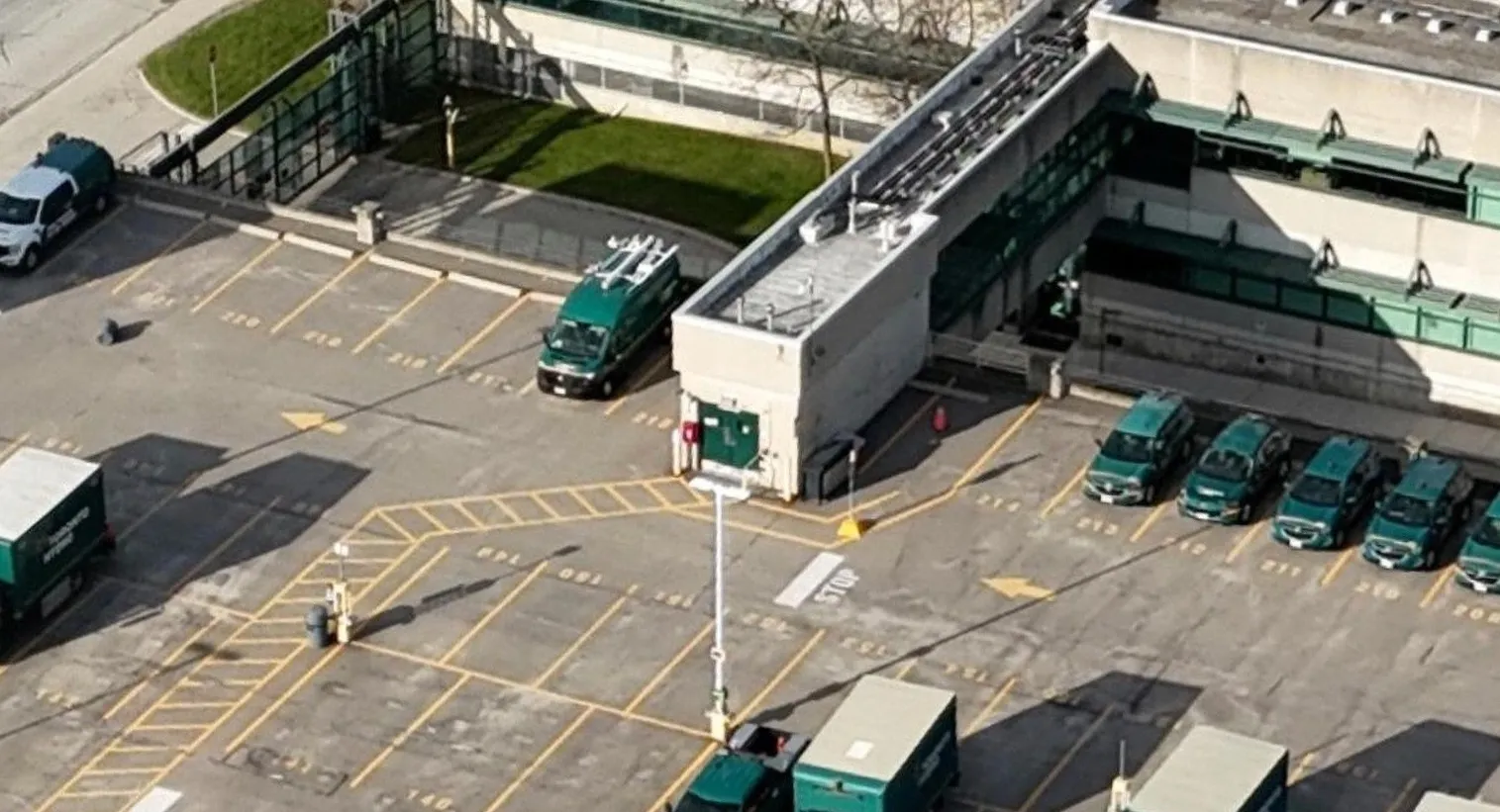
Use case: Street mapping, object classification
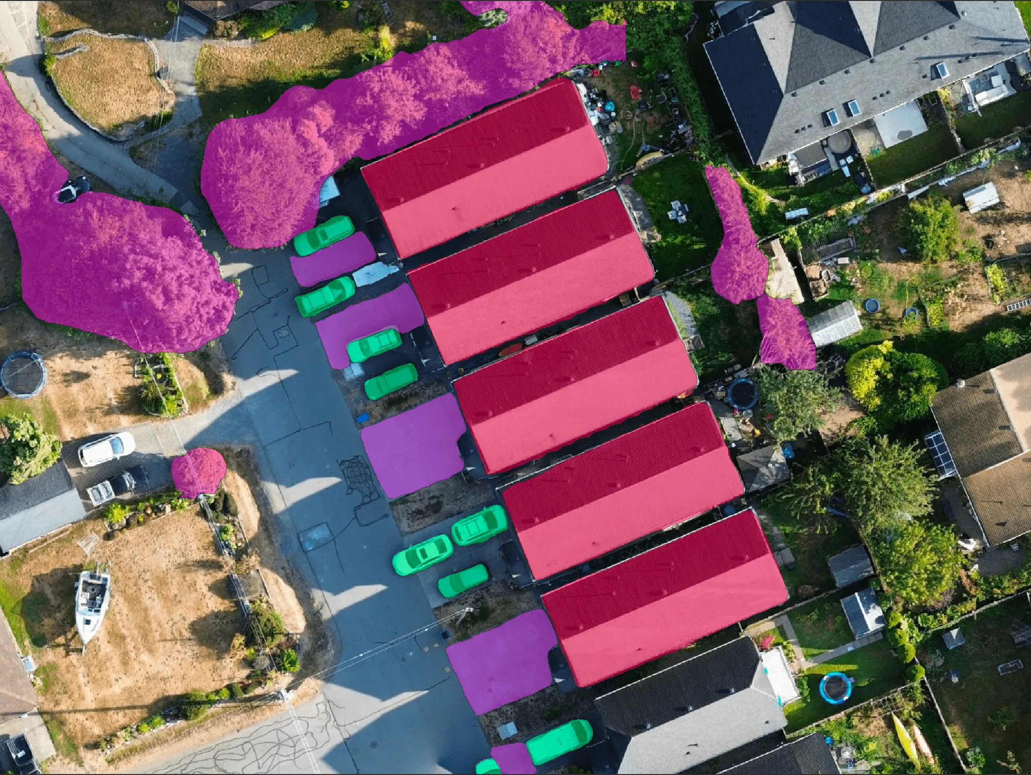
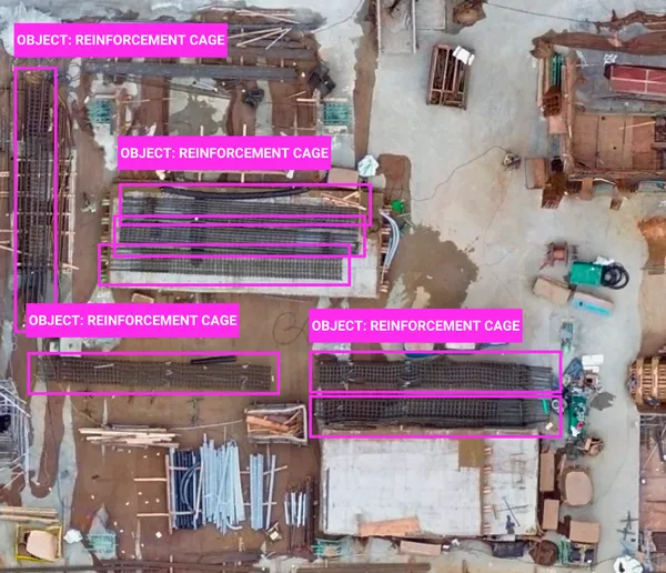
Use case: Roof damage detection, construction progress, land cover detection

Use case: Post-disaster analysis, encroachment alerts


Use case: Infrastructure & urban modeling, autonomous navigation


Use case: AI model training (detection, mapping, risk assessment)
Power your models with the data they need
to perform at their best.