
See for yourself how Spexi's high-resolution aerial imagery can streamline your workflow, reduce field visits, and accelerate decision-making.


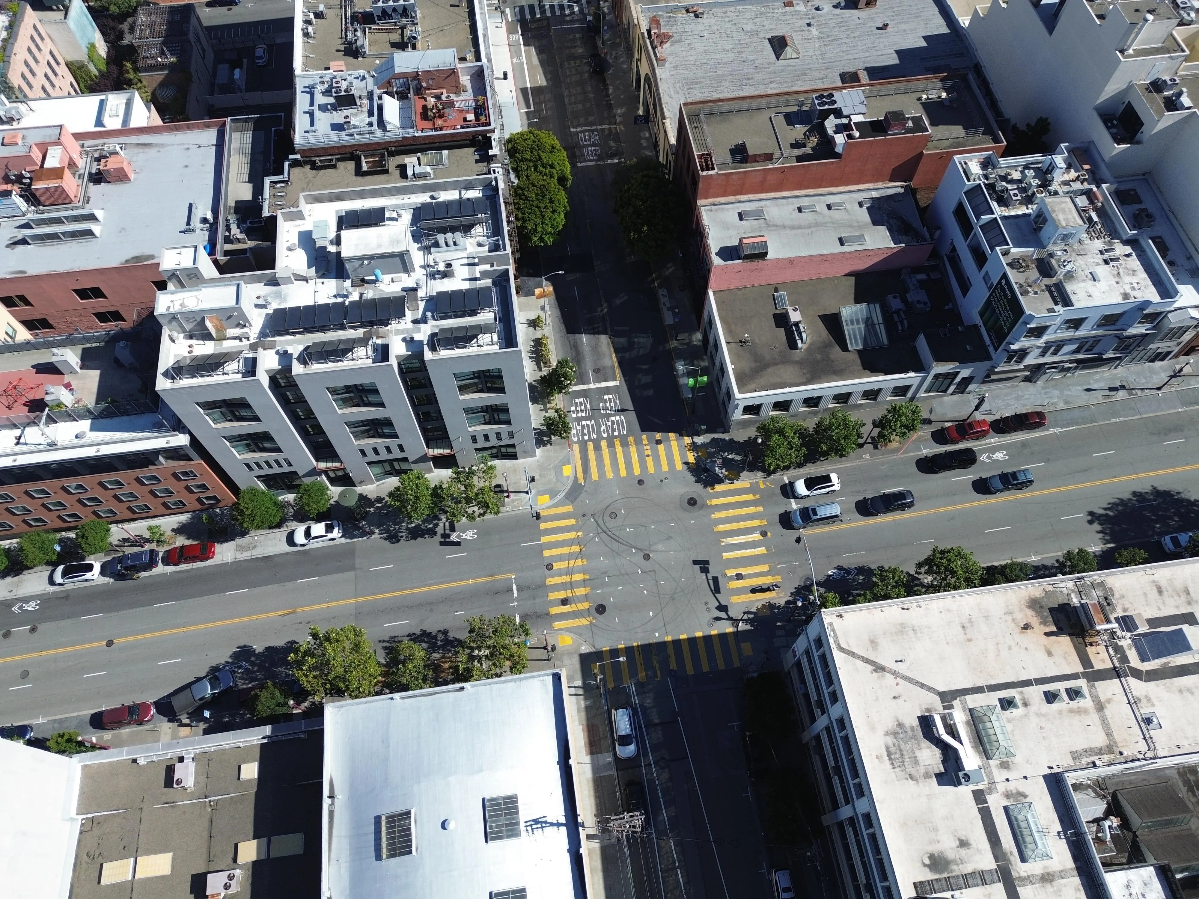
Use case: Street mapping, object classification
Use case: Roof damage detection, construction progress, land cover detection
.gif)
Use case: Post-disaster analysis, encroachment alerts
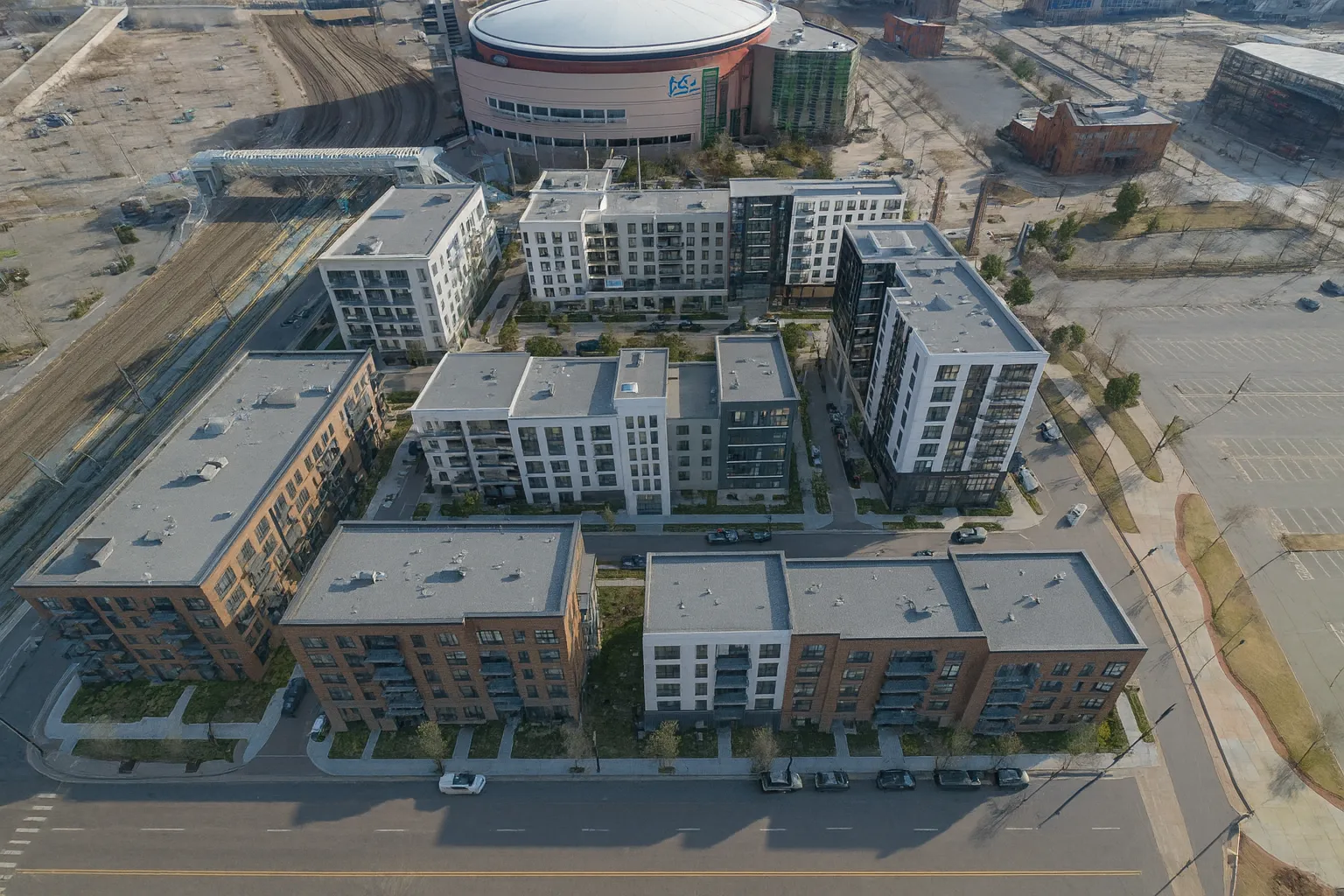
Use case: Infrastructure & urban modeling, autonomous navigation
Use case: AI model training (detection, mapping, risk assessment)