
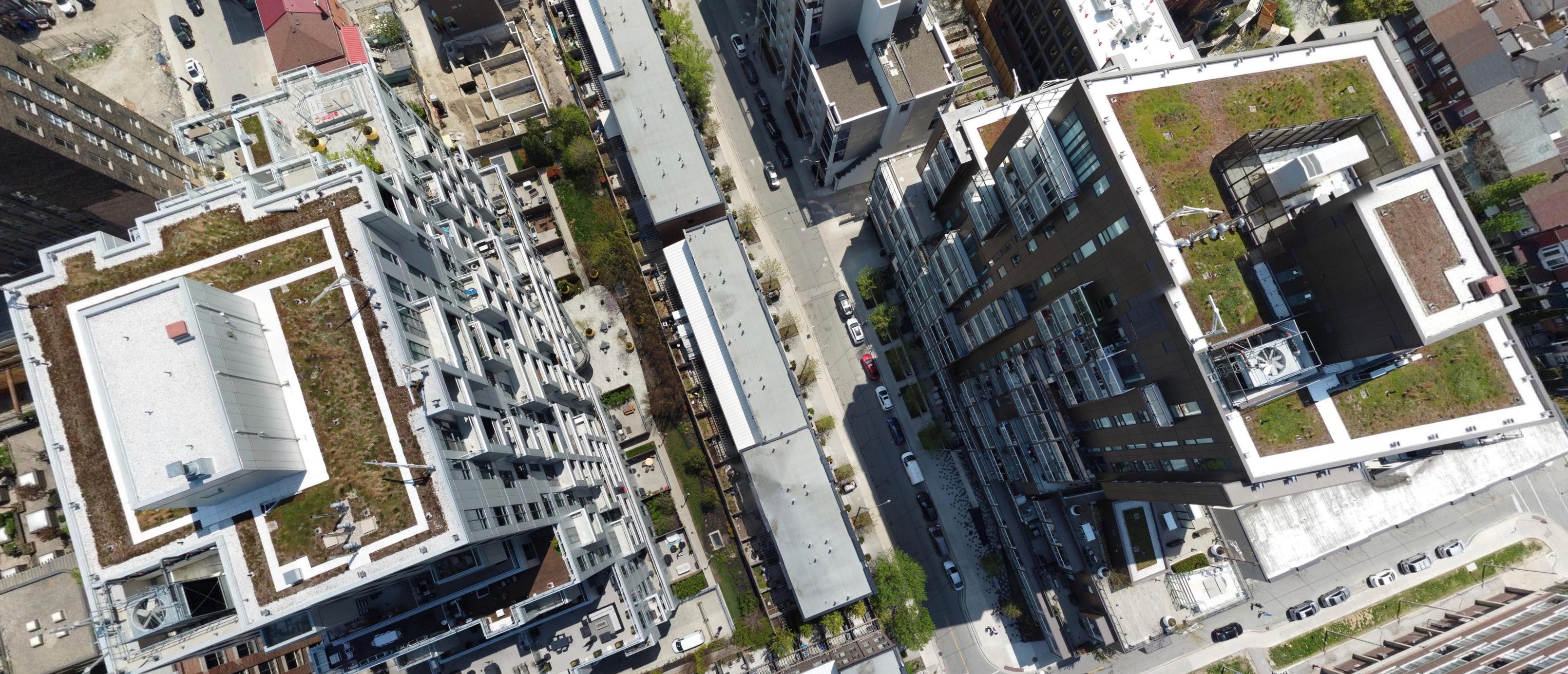
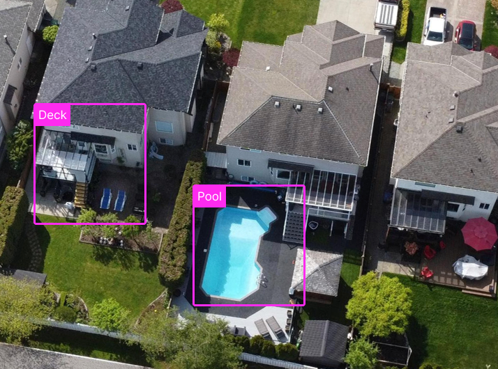
Even the best imagery leaves gaps that limit model accuracy.
Spexi fills them instantly with API-delivered, ultra-high-resolution data from drones - powering your spatial AI workflows with complete, up-to-date coverage.


.png)

Even the best imagery leaves gaps that limit model accuracy.
Spexi fills them instantly with API-delivered, ultra-high-resolution data from drones - powering your spatial AI workflows with complete, up-to-date coverage.


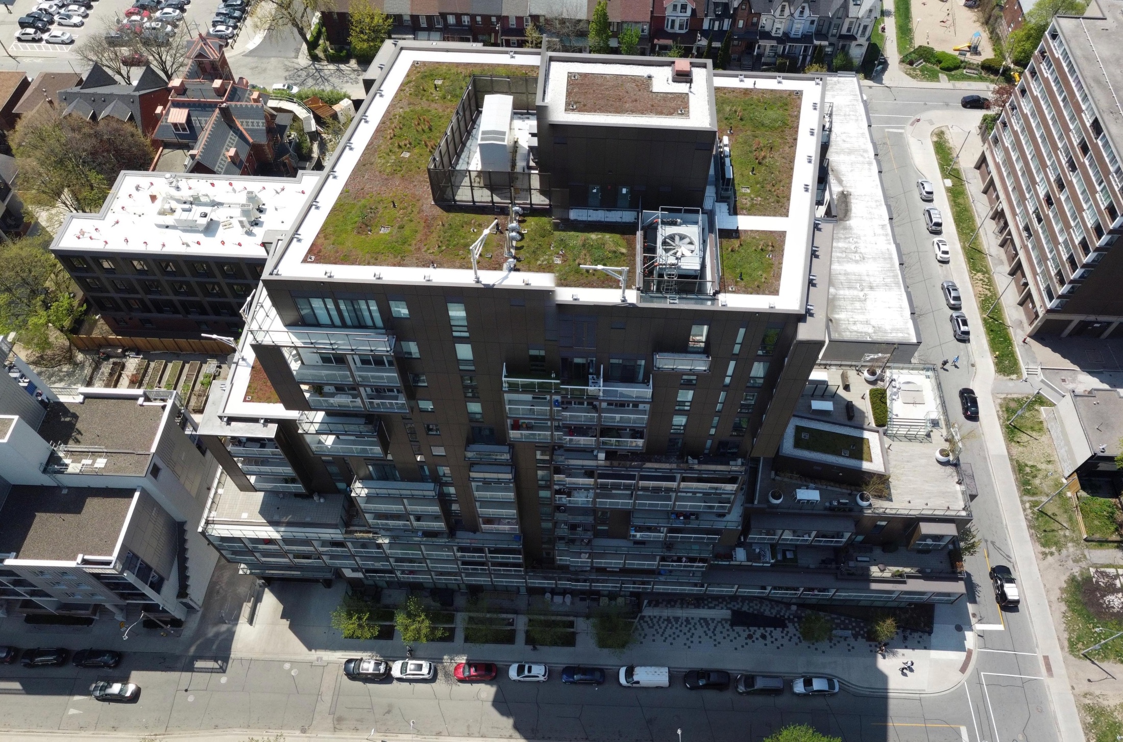
Temporal data gaps cause model drift and data decay.
Spexi’s on-demand capture eliminates stale data, delivering continuously updated imagery that keeps your spatial intelligence accurate and up-to-date.
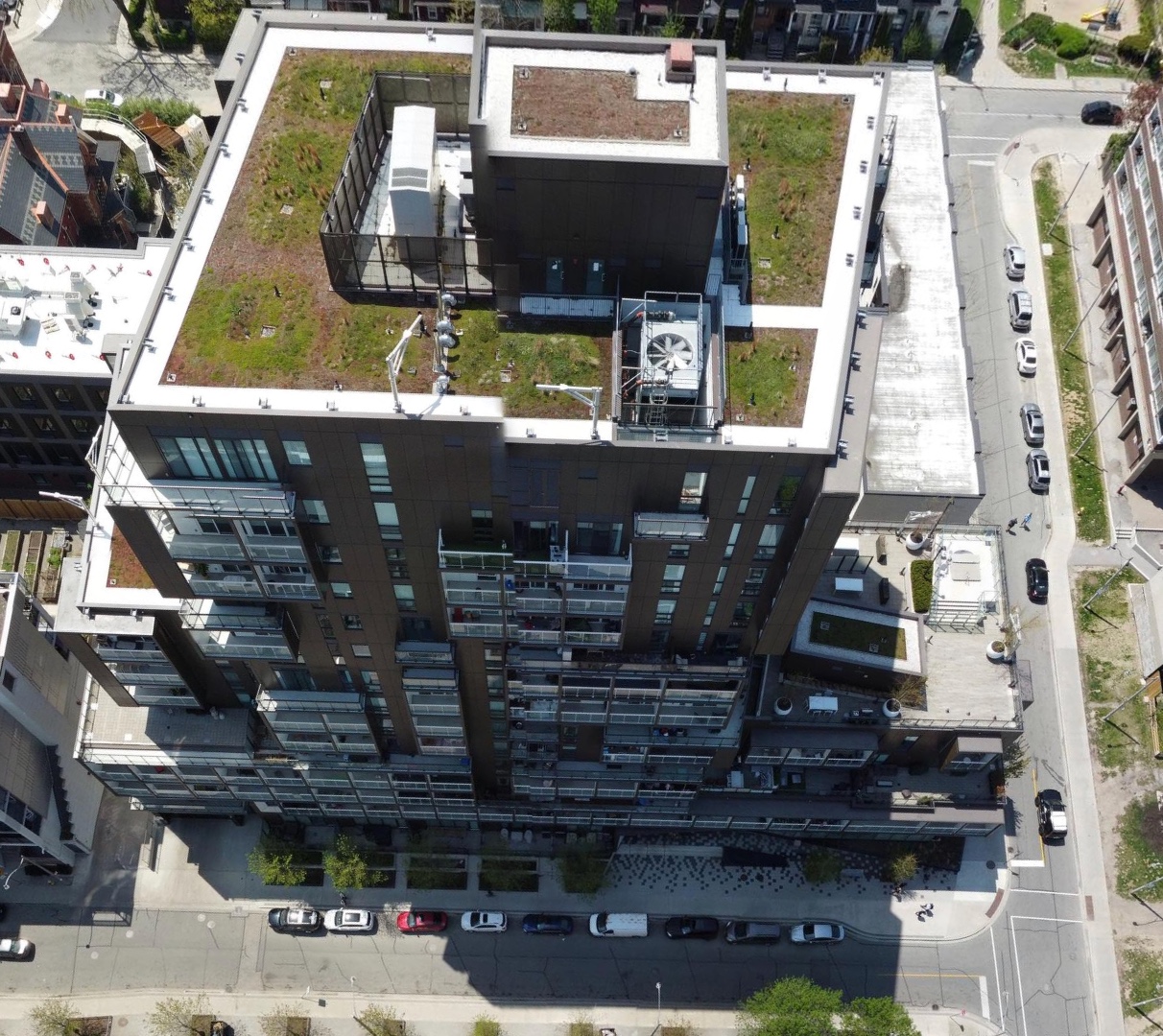
Spexi delivers imagery exactly where and when it’s needed, empowering faster, smarter, and more responsible decisions.

Spexi leverages software and a global network of drone pilots to produce fully standardized and ultra-high resolution imagery products of Earth.


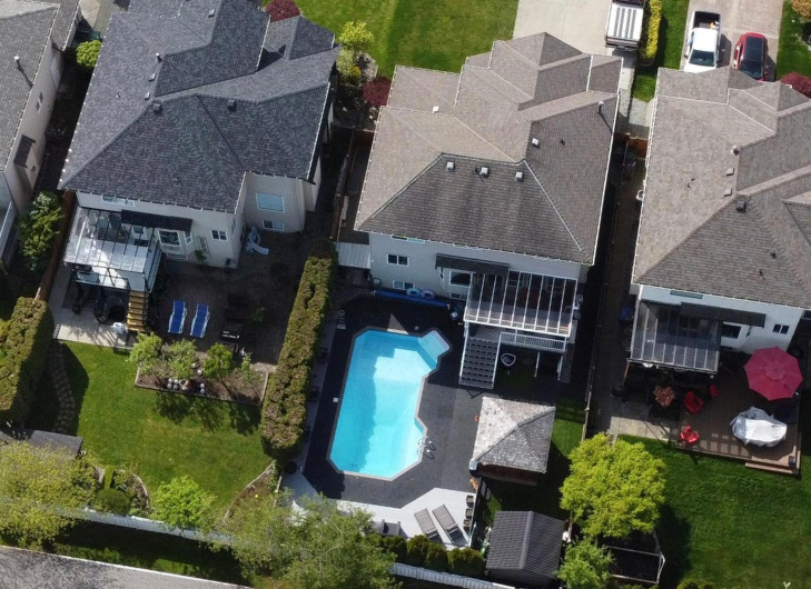
Turn your drone flights into real value with Spexi's Fly-to-Earn model. Capture and upload imagery to earn rewards.
Access up-to-date imagery via API.


