Fixed-wing gave us reach,
Spexi gives you detail.

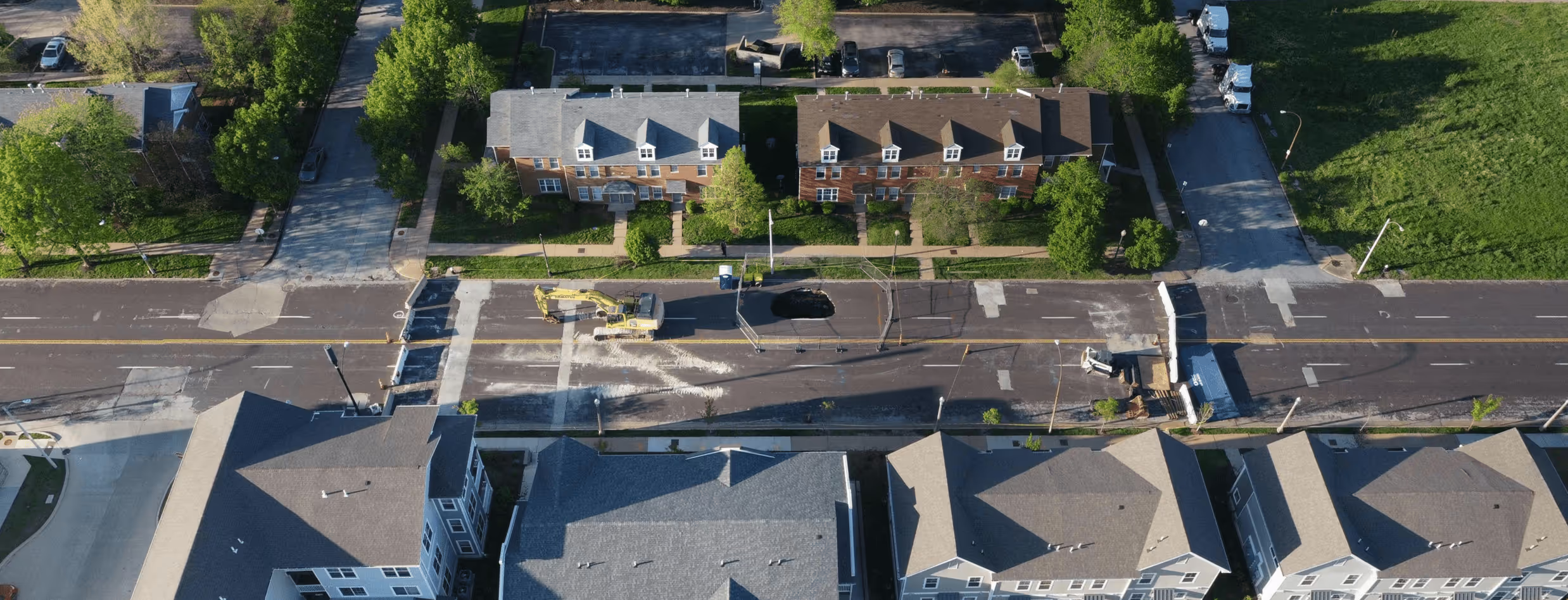
Fixed-wing aircraft offer altitude and scale, but that often comes at the expense of cost, clarity, and flexibility. Spexi delivers high-resolution aerial data 200x faster and 50x cheaper.

spexi logo
Spexi Imagery
Fixed-Wing Imagery
Resolution
Spexi
Fixed-Wing
Crisp detail at ground level, sub-3-cm resolution
Typically 5–10 cm at best; resolution degrades at higher altitudes
Refresh Schedule
Spexi
Fixed-Wing
On-demand
4-12 months depending on operator workload, aircraft availability and airspace access
Speed
Spexi
Fixed-Wing
Rapid deployment: Get imagery within a couple days
Slow: Planning, permitting, and flying can take months
Capture Flexibility
Spexi
Fixed-Wing
Operates under most conditions, exactly when needed
Can cover large areas efficiently in rural or remote zones, but limited in low-altitude, urban, or ad hoc deployments
Carbon Footprint
Spexi
Fixed-Wing
Low: Battery-powered drones, no launches required
High: fuel-powered aircraft, maintenance-heavy
Licensing
Spexi
Fixed-Wing
Transparent usage: Built for operational use
Often restricted: third-party flight contractors may retain image rights
Crystal-clear Aerial Data.
Only Where And When You Need It.

Where drones clearly outperform airplanes

Before and after building site
Spexi imagery
Fixed Wing Imagery
Change Detection
Spexi's on-demand image capture helps you understand how environments evolve over time. High-resolution imagery makes it easy to track progress, compare conditions between captures, and quickly spot any changes, deviations, or anomalies.
Spexi imagery
Fixed Wing Imagery
Emergency Response
Waiting months for usable airplane imagery is too long in a crisis. Spexi drones can provide detailed, localized visuals that help responders assess damage, deploy resources, and mobilize help effectively.
Spexi imagery
Fixed Wing Imagery
Precise Inspections
Fixed-wing imagery resolution is often too coarse to identify fine-grain issues. With Spexi, bylaw officers, underwriters, and utilities crews can inspect specific assets, from cracked sidewalks to rooftop damage, without setting foot onsite.

Is There Still a Place for Fixed-Wing Imagery?

Yes—for extremely large-scale mapping projects, or where flying long distances in one pass is essential.

When detail, speed, and operational flexibility matter most, Spexi is the better tool. Use fixed-wing for broad swaths. Use Spexi for smart, surgical data capture.

Together, they offer complementary strengths, but Spexi unlocks more for modern teams.

Stop waiting for usable data. Get the imagery you need when and where it matters.

Discover innovative solutions to streamline operations, reduce costs, and elevate your decision-making with cutting-edge aerial imagery solutions.

Thank you! Your submission has been received!
Something went wrong while submitting the form.