
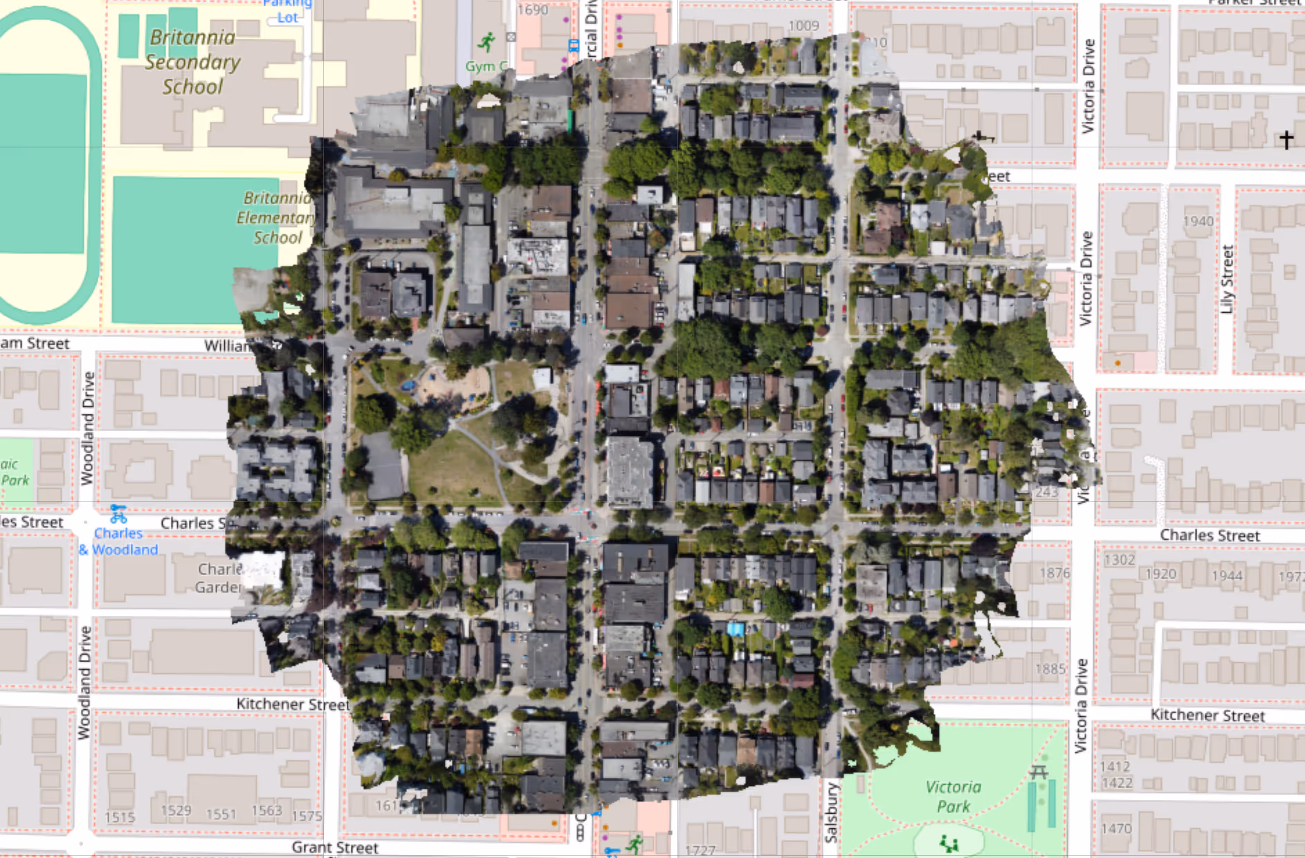
Spexi is expanding fast-capture aerial mapping in a big way, adding over 1 million acres of new collection capacity and committing to deliver on-demand orthomosaic imagery as fast as 24 hours after your request.
This is a major upgrade to our drone-based imagery platform. What’s been true for our oblique captures- speed, flexibility, and precision- is now available for orthomosaic maps which can be used to generate 3D point clouds and gaussian splat models, with no drop in resolution or coverage quality.
If you're in government, insurance, construction, geospatial or spatial AI, this means imagery that is better & timely, and fewer delays getting decisions made.
To mark this expansion, we’re covering 50% of capture costs (up to $10,000) for customers who sign contracts before September 15th, 2025 - Including orthomosaic AND panoramic data products!
If you’ve been waiting for faster, more cost-effective aerial mapping for high-resolution orthomosaic imagery, this is a strong opportunity to test what’s possible—without burning your budget.
Municipal and state agencies can now get current, high-resolution orthomosaic imagery in a timely manner. That supports capital project planning, road and asset inventories, wildfire preparation, and permitting workflows.
Insurance carriers get a cleaner claims workflow, powered by precise, time-stamped imagery. That supports faster triage, remote validation, and improved fraud detection.
Construction firms get visual updates without relying on manual site visits. That speeds up progress tracking and reduces change order risk.
Spatial AI and 3D modeling companies gain a detailed and current data layer to power real-world digital environments, faster than ever before.
This isn’t a new line of business; it’s a major expansion of something already working at scale. Spexi’s network has already captured over 3.5 million acres of oblique imagery across 200+ cities worldwide.
Now, the same visual clarity is available for orthomosaics, without the cost and lead time of traditional aircraft-based mapping.
The process is simple: send a KML file, we handle the rest. Spexi operators capture the area often within a day.
Aerial mapping doesn’t need to be expensive or slow. You don’t need to manage a fleet or contract out a flyover every time you need updated base imagery.
Spexi’s platform delivers consistent, high-resolution visual data—on demand, at scale, and without the overhead of legacy methods.
Want to see how Spexi can support your next project? Book a demo.
