
Site selection is one of those “big bets” in real estate, infrastructure, energy, and industrial development. Pick the wrong lot, and you’re not just losing time but millions in redesigns, permit delays, expensive fixes, or even scrapping plans altogether. But what if you could “visit” the site (virtually) from your desk?
Enter modern aerial imagery. With high-resolution drone, plane, or satellite-based imaging, you can assess, compare, annotate, and align your whole team before sending boots to dirt. That’s not just convenience—that's risk reduction and cost control baked into your earliest decisions.
When you choose the wrong site, you incur three classes of cost. It’s helpful to break them out:
Long-term strategic & business costs. A mismatched site drags against strategy: poor logistics or visibility, circulation that never quite works, and a market fit that forces compromises. Over time, you pay in slower revenue, constrained growth, and the opportunity cost of rethinking parts of the plan you thought were settled.
Daily operational costs. The wrong terrain and layout hard-code inefficiency into everyday work—longer routes, higher fuel burn, awkward maintenance, and staff time consumed by fixes and workarounds.
Direct financial costs. Surprises discovered late such as wetlands, setbacks, foundations, easements mean rework, schedule overruns, and occasionally regulatory issues. Even avoiding just one unnecessary field visit saves real money; teams using aerial imagery consistently report time and cost savings by screening sites from the office first.
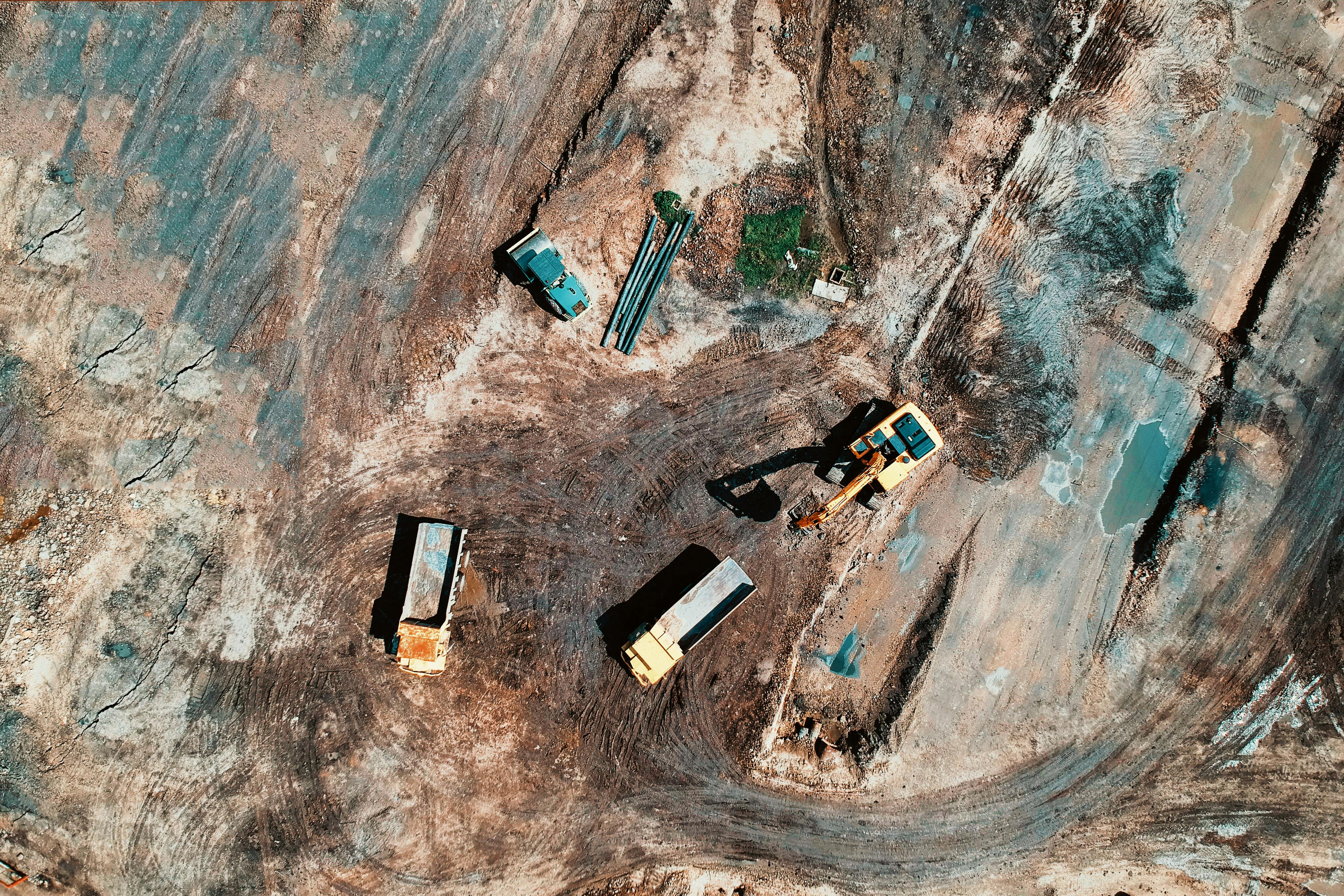
With ultra-high-resolution aerial imagery, here’s what you can reliably “see” before boots-on-ground:
Terrain, slope, and water behavior: High-resolution imagery and derived surfaces (e.g., DEMs and slope maps) let you read the land before you walk it. You can spot steep sections, cut/fill zones, and drainage paths that hint at stabilization needs; all early signals that determine whether a site is workable and at what cost.
Boundaries, access, and circulation: From above, parcel edges, fences, and right-of-way cues are easier to see in context with roads and drive lanes. You can evaluate ingress/egress options, proximity to arterials, and potential chokepoints so you’re not surprised later by issues that undermine throughput.
Utilities and visible infrastructure. Poles, power corridors, culverts, drainage features, and retention basins are often apparent in aerial views. Even when subsurface assets aren’t visible, the above-ground indicators help you anticipate constraints, coordinate with utilities, and plan around easements that would otherwise derail a layout.
Traditional site shortlisting is manual, i.e. drive, see, come back, compare notes. Now, you can bring side-by-side aerial views of candidate sites. That accelerates decision-making in a few ways:
Fast filtering that cuts field spend: With clear imagery, you quickly eliminate non-starters before paying for travel or reconnaissance. Those early insights shrink the visit list and reduce vetting costs, so field time is reserved for the few candidates that actually merit boots-on-ground.
Accurate Comparisons: Bring sites side-by-side with the same overlays (slope, buffers, setbacks) and score them consistently. You move from gut feel to a transparent ranking that’s easy to defend.
Better pre-site alignment. When everyone can see the same base imagery and mark it up, questions surface earlier and site visits become targeted fact-finding, not open-ended discovery missions.
One of the silent killers of site projects is misalignment between design, planning, permitting, engineers, investors, municipalities, etc. Imagery helps fix that early.
Zoning, setbacks, and permits: Confirm feasibility before design time starts.
By overlaying parcel boundaries and known buffers on aerial basemaps, you can sanity-check buildable envelopes and proximity to sensitive uses. If a concept can’t clear obvious setbacks or appears to conflict with neighboring parcels, you learn that now, not after hours of layout and stakeholder review.
Environmental and habitat constraints: See the red flags in plain view. Vegetation patterns, riparian corridors, and wet areas often telegraph themselves from above. While formal delineations still require specialists, imagery helps you pinpoint likely wetlands or erosion-prone slopes and position your environmental survey exactly where it matters—reducing scope creep and surprise mitigations.
Utilities and hidden constraints: spot the tells, avoid the traps. Overhead lines, access tracks, valve boxes, and drainage structures are clues to what’s in or under the ground. Even when you can’t “see” the asset, the patterns in aerial imagery help you route around likely easements and avoid conflicts that would otherwise appear mid-permit or mid-dig.
Incorporating aerial imagery into site selection isn’t a nice-to-have—it’s how serious teams de-risk early decisions. But doing it right means juggling capture methods, accuracy requirements, seasonality, permissions, processing, and collaboration. Use it wisely—or partner with people who live and breathe this.
If you’re looking for experts in aerial intelligence, partner with Spexi. We’ll help you design the right capture plan, deliver decision-grade maps and models, and align your stakeholders before anyone steps on site. Want us to scope a quick imagery plan for your next shortlist?
