
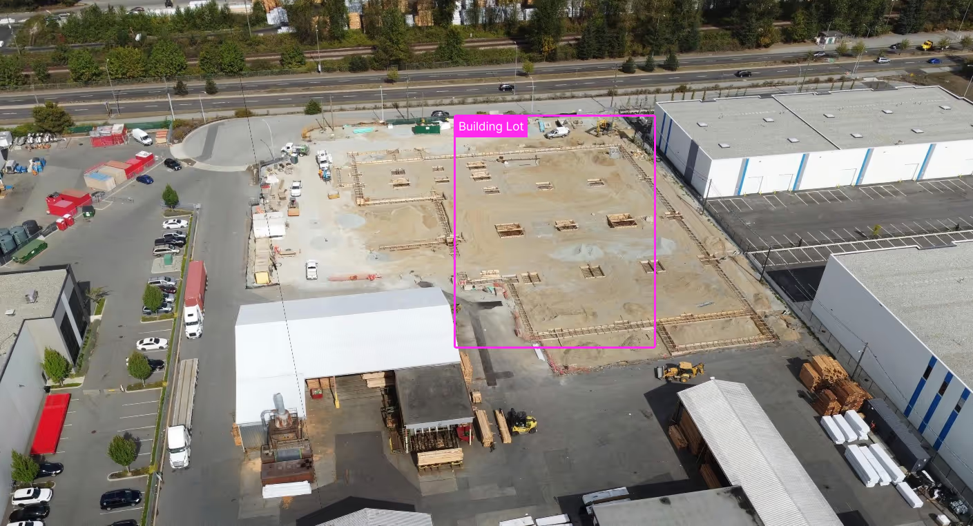
Remote SWPPP Monitoring Powered by On-Demand Drone Imagery
Verifying silt fence installation and compliance often requires time-consuming travel, manual documentation, and repeat visits after storm events. With Spexi, your team can remotely review high-resolution aerial imagery collected on-demand or through automated weekly monitoring programs. Instead of dispatching inspectors for routine verification, receive standardized imagery that helps you assess site conditions before deciding whether a field visit is necessary.
Spexi captures recurring drone imagery across active construction sites, allowing SWPPP professionals to:

Purpose-built for the teams training, validating, and deploying AI in the real world
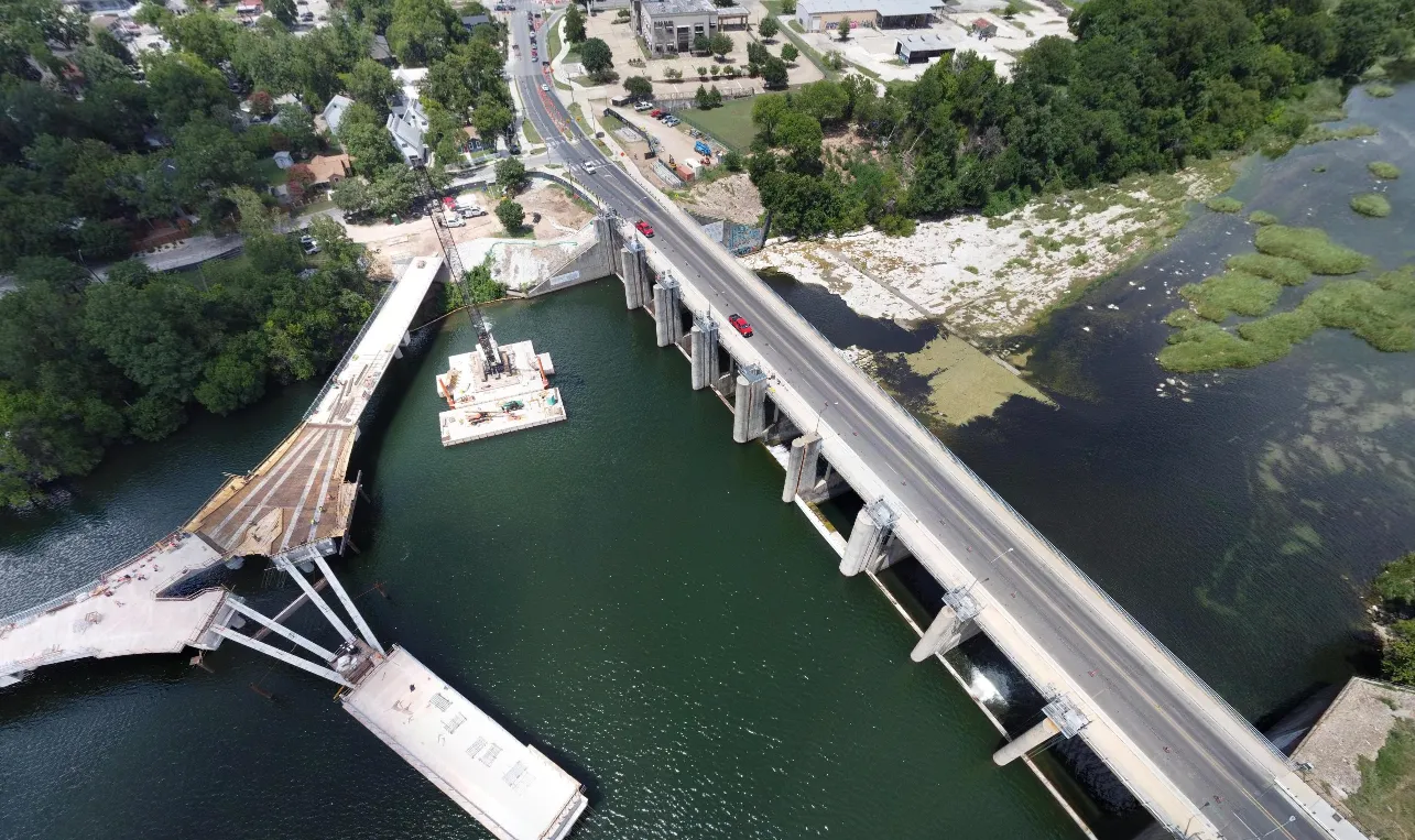
1. Schedule Coverage- Select one site or hundreds of active projects for recurring monitoring.

2. Spexi Collects Imagery- Our distributed drone network captures standardized aerial imagery on-demand or through automated weekly tasking.
2. Spexi Collects Imagery- Our distributed drone network captures standardized aerial imagery on-demand or through automated weekly tasking.
3. Review Remotely- Inspect silt fence conditions and site changes from your office before sending field personnel.
Without Expanding Headcount Monitor more sites across a larger geographic area without increasing travel requirements.
Use remote verification to minimize unnecessary site visits.
.webp)
Quickly assess erosion control measures after weather events and prioritize response efforts.

Maintain recurring visual documentation that supports compliance reporting and client communication.
Direct inspectors to sites with identified issues instead of conducting routine visual checks everywhere.
%201.webp)
Spexi provides flexible drone data collection that fits your existing workflows.
Gain access to Spexi's flexible drone network for automated weekly tasking, recurring site monitoring, and remote compliance inspections.