Spexi provides standardized real-world data to support training, validation, and continuous learning across AI systems.
Capture high-resolution data where your systems operate and receive structured datasets designed for direct integration into ML and geospatial pipelines.
Designed for AI systems that rely on accurate, real-world inputs

Generate high-quality training datasets
Detect and analyze real-world changes over time
Maintain up-to-date digital twins
Validate model outputs against current conditions
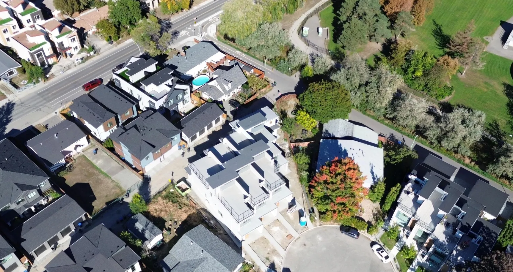
Multi-view, ultra-high-resolution data for perception and training systems.Spexi’s core dataset provides multi-perspective data from real environments, improving model performance and scene understanding.
Best for:
ML training datasets
Perception model development
Asset recognition systems
Infrastructure analysis
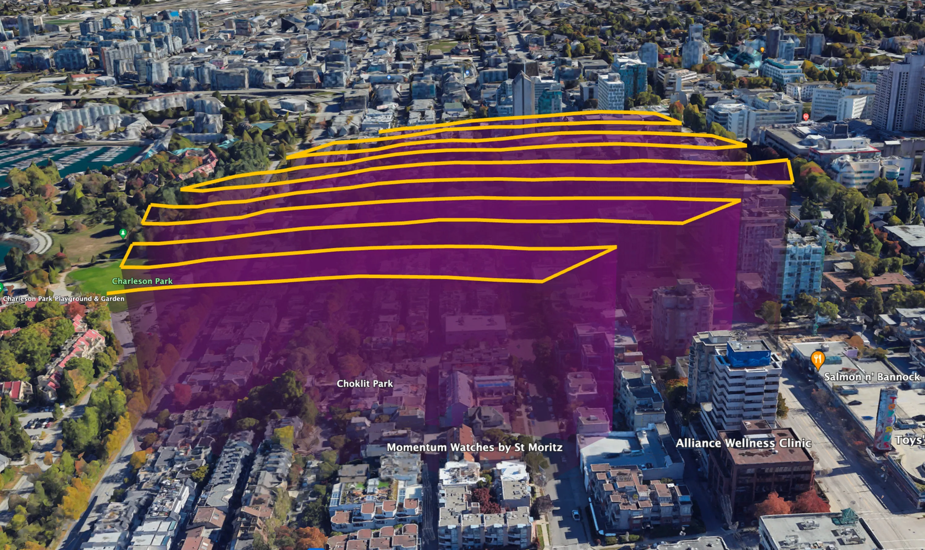
Structured spatial datasets for mapping and geospatial AI systems. Orthomosaics provide orthorectified, high-precision spatial datasets for large-scale analysis.
Optimized for:
GIS model layers
Spatial reasoning systems
Planning and simulation environments
Specifications:
Resolution: ~2.8 cm GSD
Coordinate system: WGS84
Tile streaming: supported
Up to 10cm absolute accuracy when aligned with control data
.webp)
Access, query, and retrieve AI-ready real-world datasets on demand through a flexible API designed for machine learning pipelines and geospatial systems.
Search by point, radius, or bounding box to retrieve data for any location.
Filter by camera angle, direction, and altitude to match your model requirements.
Retrieve every dataset intersecting your area of interest
Returns all available data matching your spatial query, enabling complete coverage and maximum recall.
Best for:
High-volume data pipelines
Bulk dataset generation
Comprehensive analysis workflows
Retrieve multiple perspectives of the same location
Returns a representative set of images across viewing angles (top-down + oblique directions), providing richer spatial context.
Best for:
Perception model training
Scene understanding
Property and asset analysis
Retrieve the most relevant dataset for a location
Applies intelligent filtering to return the best image representing your area of interest, reducing noise and improving efficiency.
Best for:
End-user applications
Map interfaces and pop-ups
“Best image” selection workflows
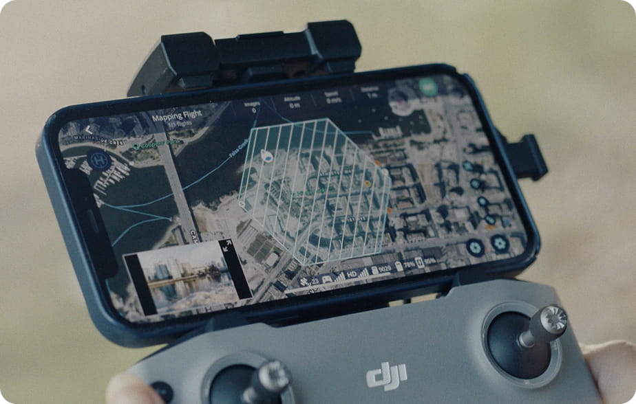
From capture request to AI-ready dataset, Spexi makes real-world data collection fast, flexible, and operationally repeatable.


.webp)
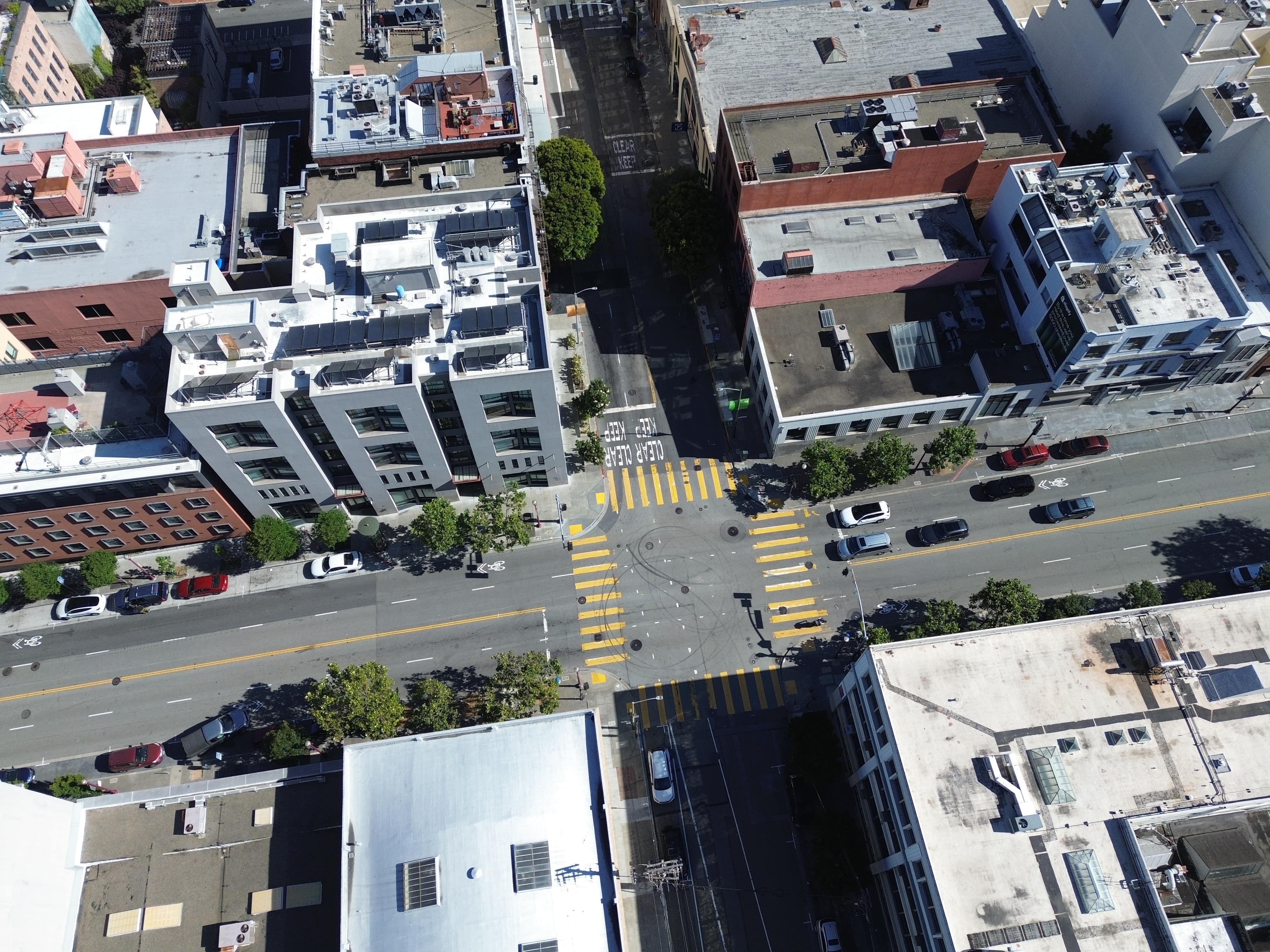
Use case: Street mapping, object classification
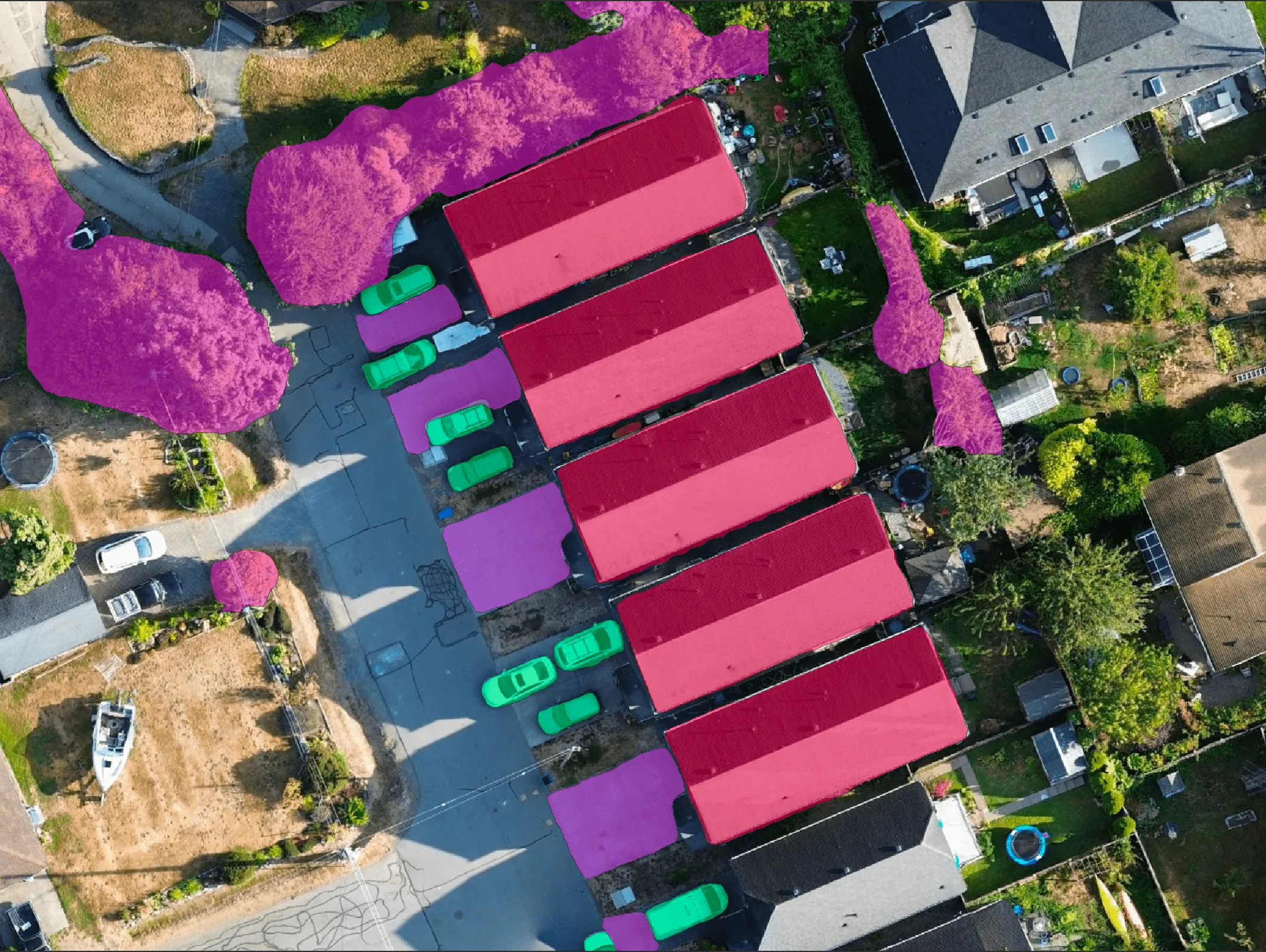
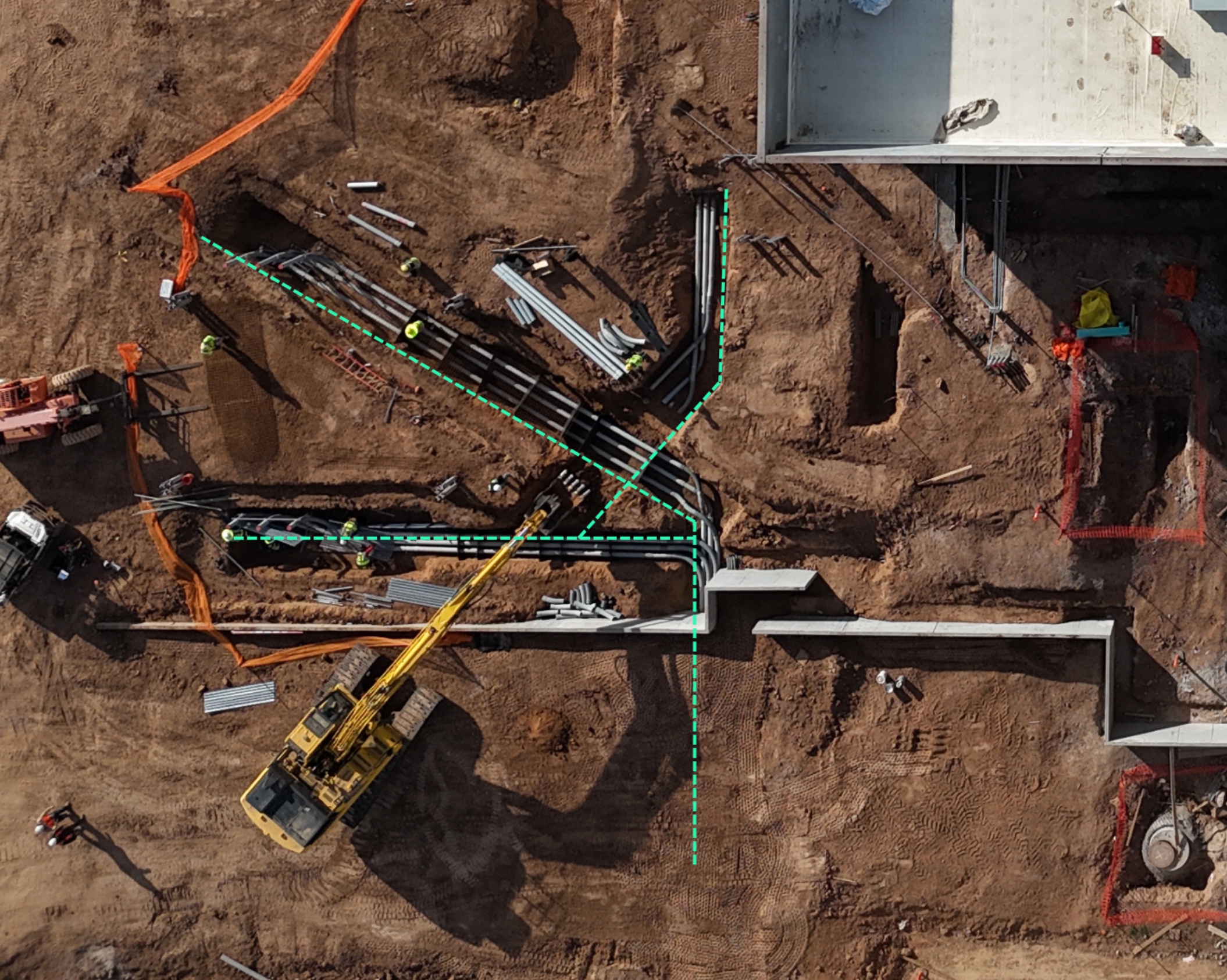
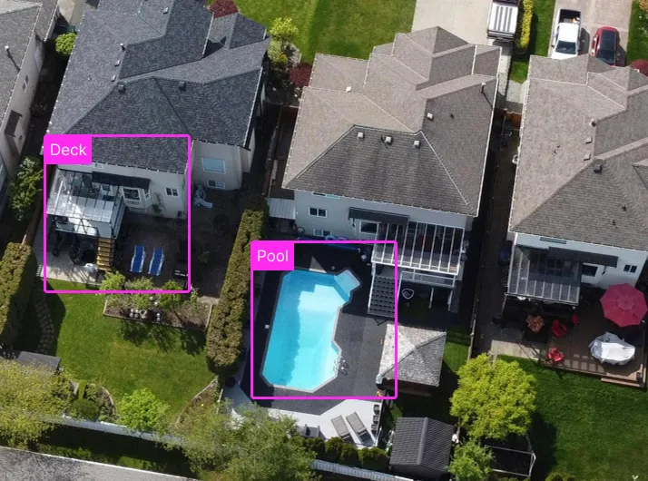
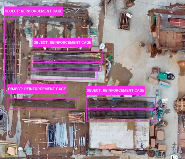
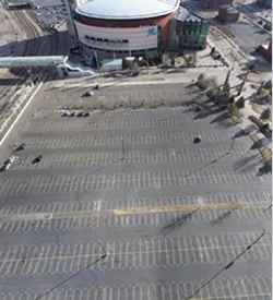
Use case: Roof damage detection, construction progress, land cover detection

Use case: Post-disaster analysis, encroachment alerts


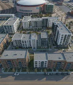
Use case: Infrastructure & urban modeling, autonomous navigation
Use case: AI model training (detection, mapping, risk assessment)