The real-world data layer for physical AI.

Spexi provides standardized real-world data on-demand to keep physical AI systems aligned with reality. Currently available in 200+ cities in the U.S. and Canada. Expanding globally.

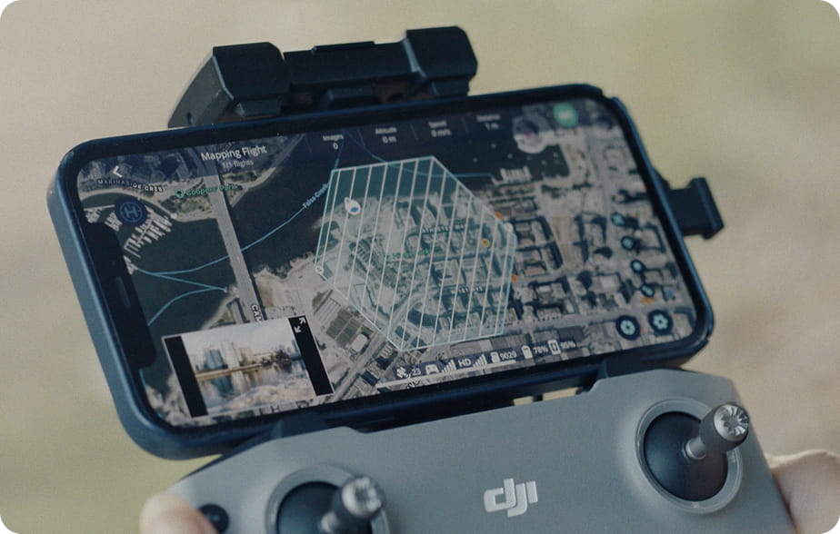
Capture reality in ultra high-resolution exactly where and when your workflows need it, ready for training, validation, and continuous learning in dynamic environments.

Maintain alignment between digital systems and physical environments.

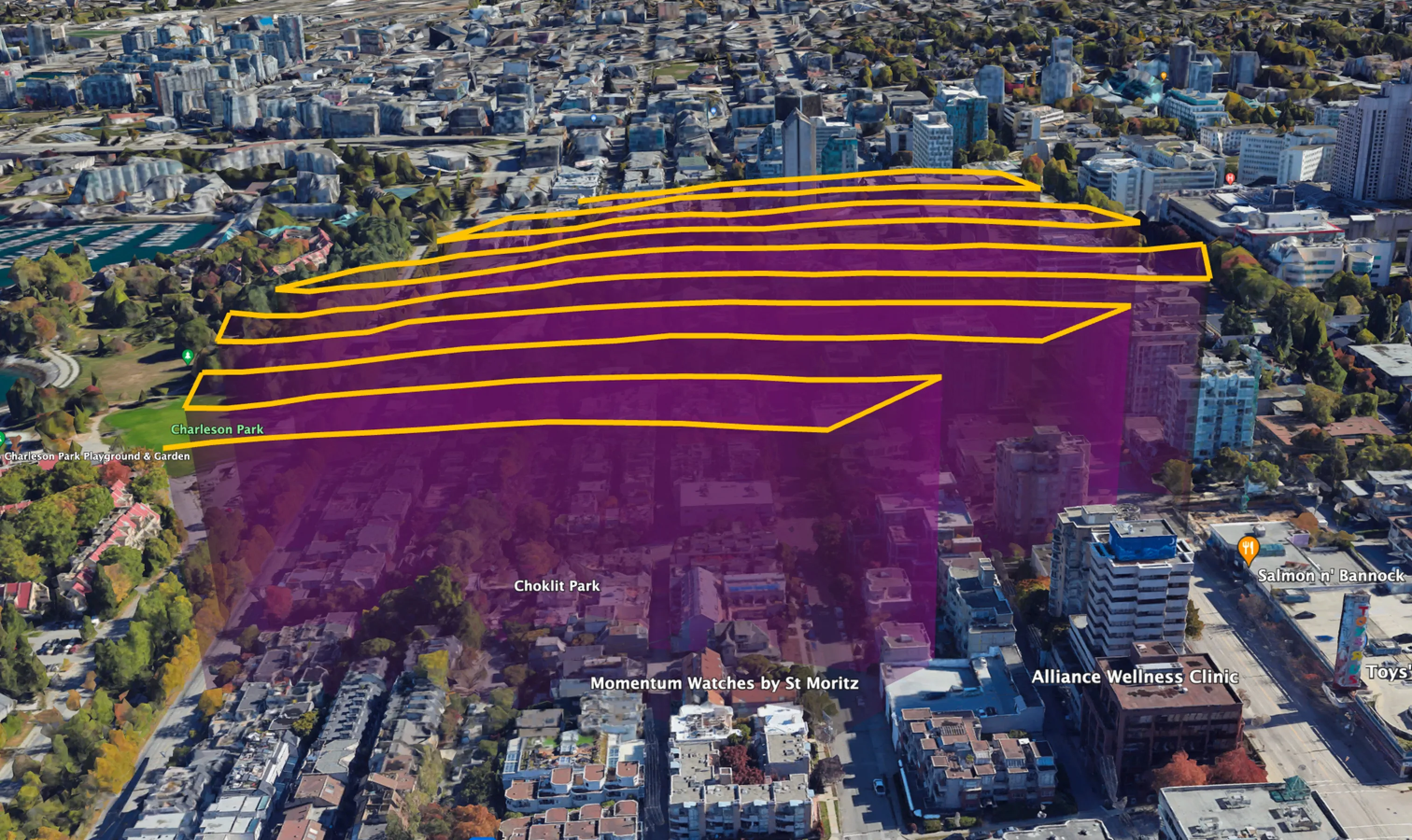
The urban environment is always changing. Validate real-world change and reduce model driftwith flexible data collection through a distributed network of drone imaging pilots.

Built for AI systems that depend on real-world data

Aerial view of a construction site with steel rebar, wooden planks, pipes, and concrete foundations in progress.

Perception & spatial intelligence AI for autonomous systems

Maintain continuously refreshed training and validation datasets for models that interpret the physical world.

  • Object detection training data

  • Change detection learning loops

  • Digital twin generation and updates

Aerial view of a construction site with steel rebar, wooden planks, pipes, and concrete foundations in progress.

AI-powered change detection for construction & development

Detect real-world changes automatically and feed updates into project intelligence systems and predictive models.

  • Progress verification

  • Site change detection

  • Risk prediction

Aerial view of a construction site with steel rebar, wooden planks, pipes, and concrete foundations in progress.

Urban AI & digital twins for local government & infrastructure

Continuously update city-scale models with time-series data captures.

  • Infrastructure monitoring

  • Change tracking

  • Asset condition modeling
Aerial view of a construction site with steel rebar, wooden planks, pipes, and concrete foundations in progress.

AI-driven damage assessment for Insurance

Validate damages quickly, powered by automated claims models and catastrophe response systems.

  • Damage classification inputs

  • Claims model validation

  • Disaster event datasets

Aerial view of a construction site with steel rebar, wooden planks, pipes, and concrete foundations in progress.

AI infrastructure monitoring for utilities

Enable predictive maintenance models with high-frequency real-world data.

  • Vegetation risk modeling

  • Asset inspection datasets

  • Reliability prediction signals

Aerial view of a construction site with steel rebar, wooden planks, pipes, and concrete foundations in progress.

Portfolio intelligence AI for commercial real estate

Maintain AI-driven visibility into asset conditions across portfolios.

  • Development state tracking

  • Asset condition modeling

  • Investor reporting automation

Your spatial data stack is missing its dynamic layer

Temporal data gaps cause model drift and data decay.

Spexi’s fresh captures eliminates stale data, delivering continuously updated imagery that keeps your spatial intelligence accurate and up-to-date.

Aerial view of a suburban neighborhood with multiple houses, including one under construction with wooden framing, surrounded by trees with autumn foliage.Aerial view of a residential neighborhood with multiple houses, trees, a circular cul-de-sac, and a small blue swimming pool in one backyard.

AI-ready data products for perception, mapping, and simulation

Static images

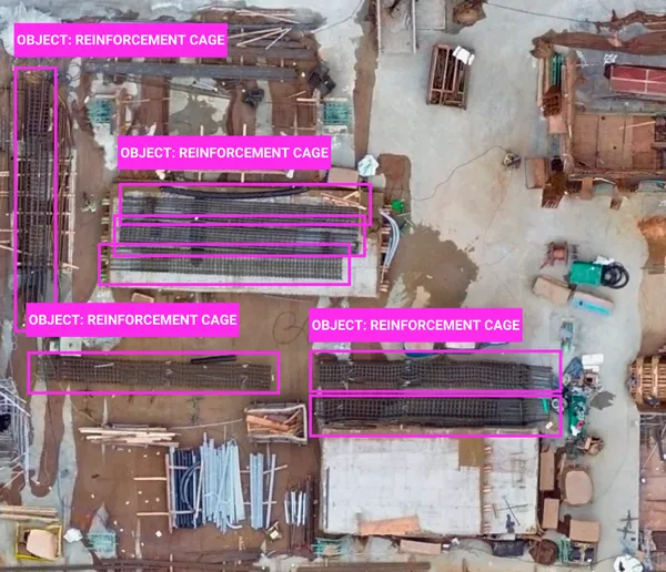
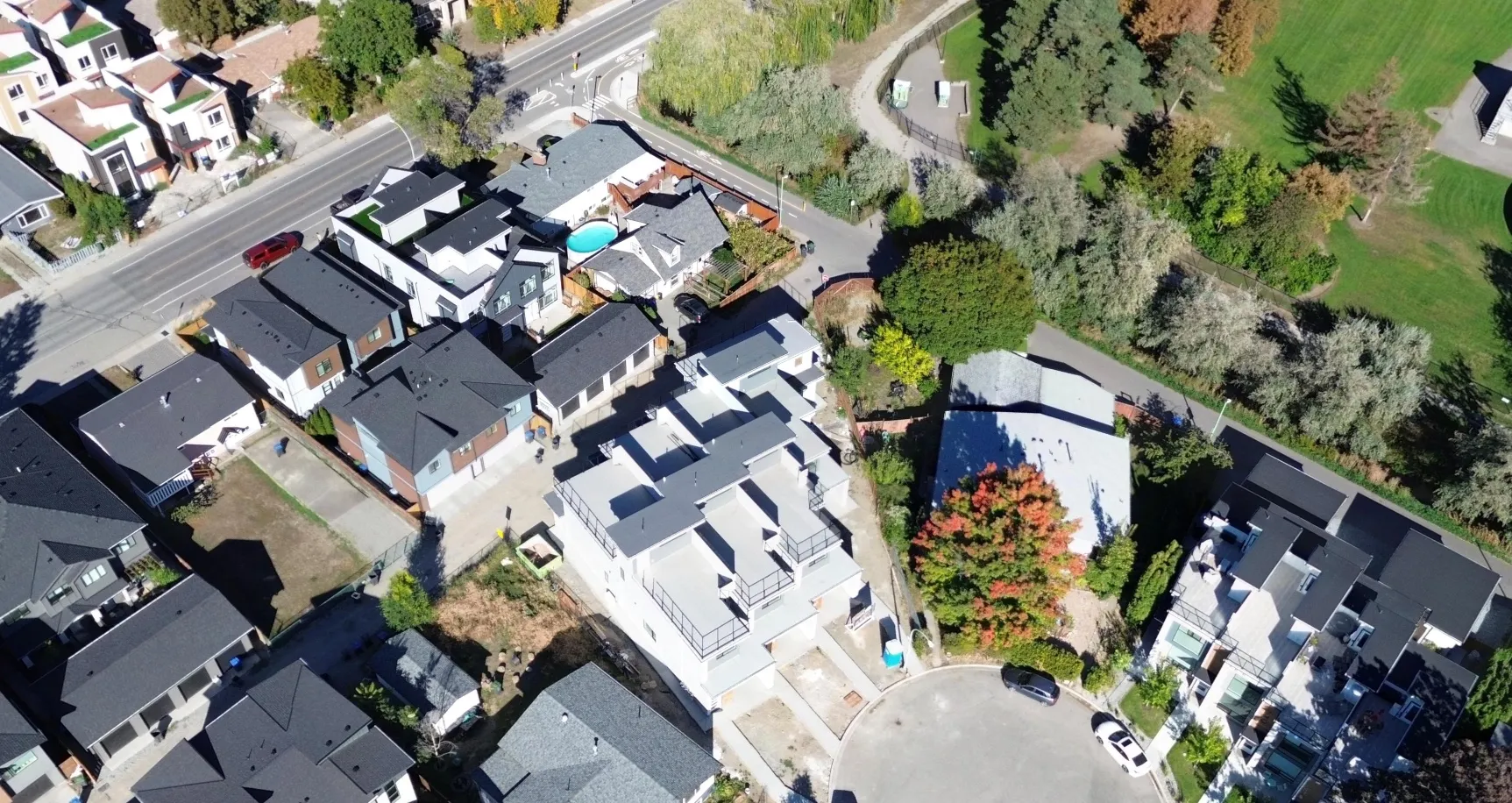
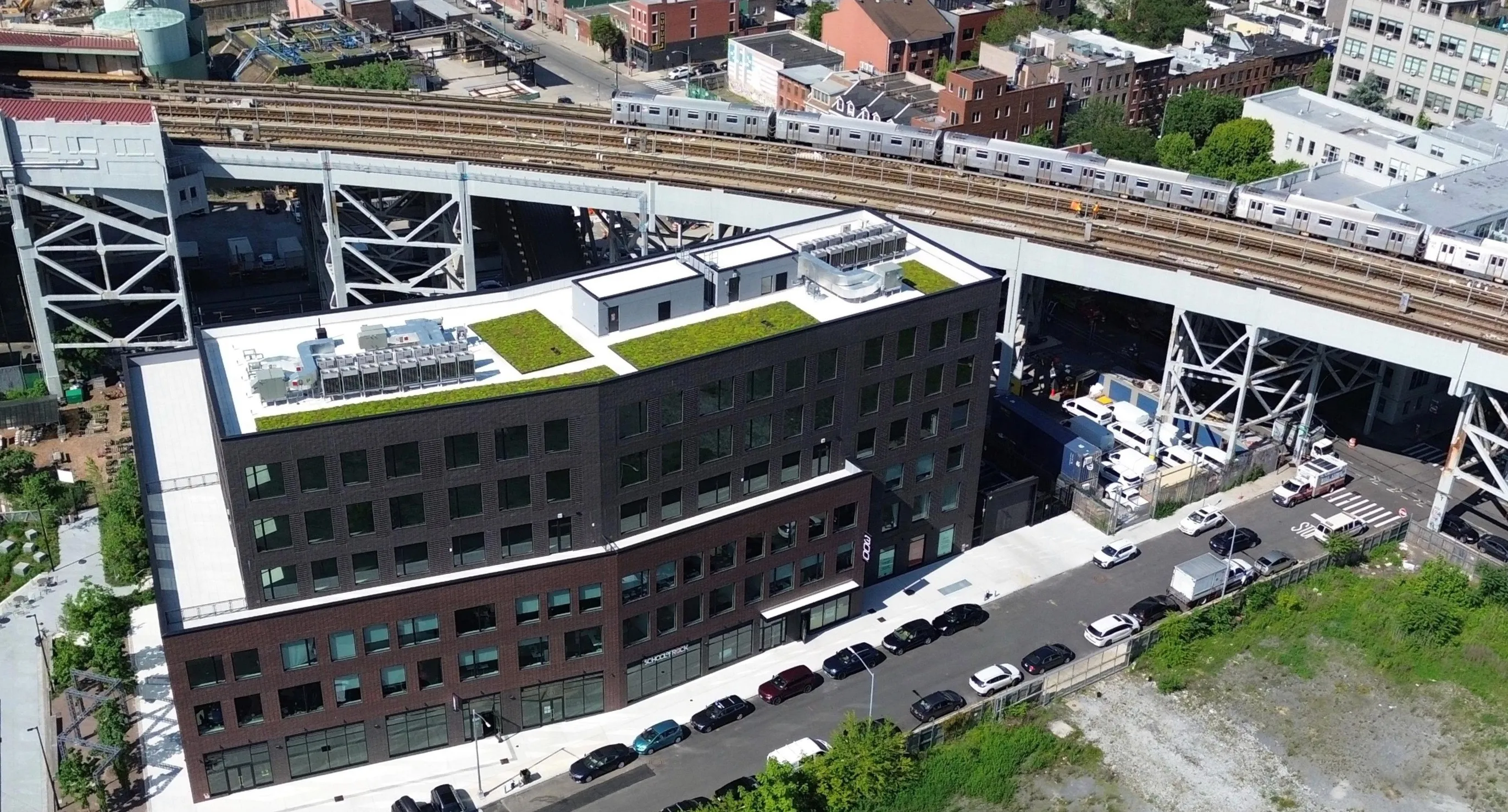
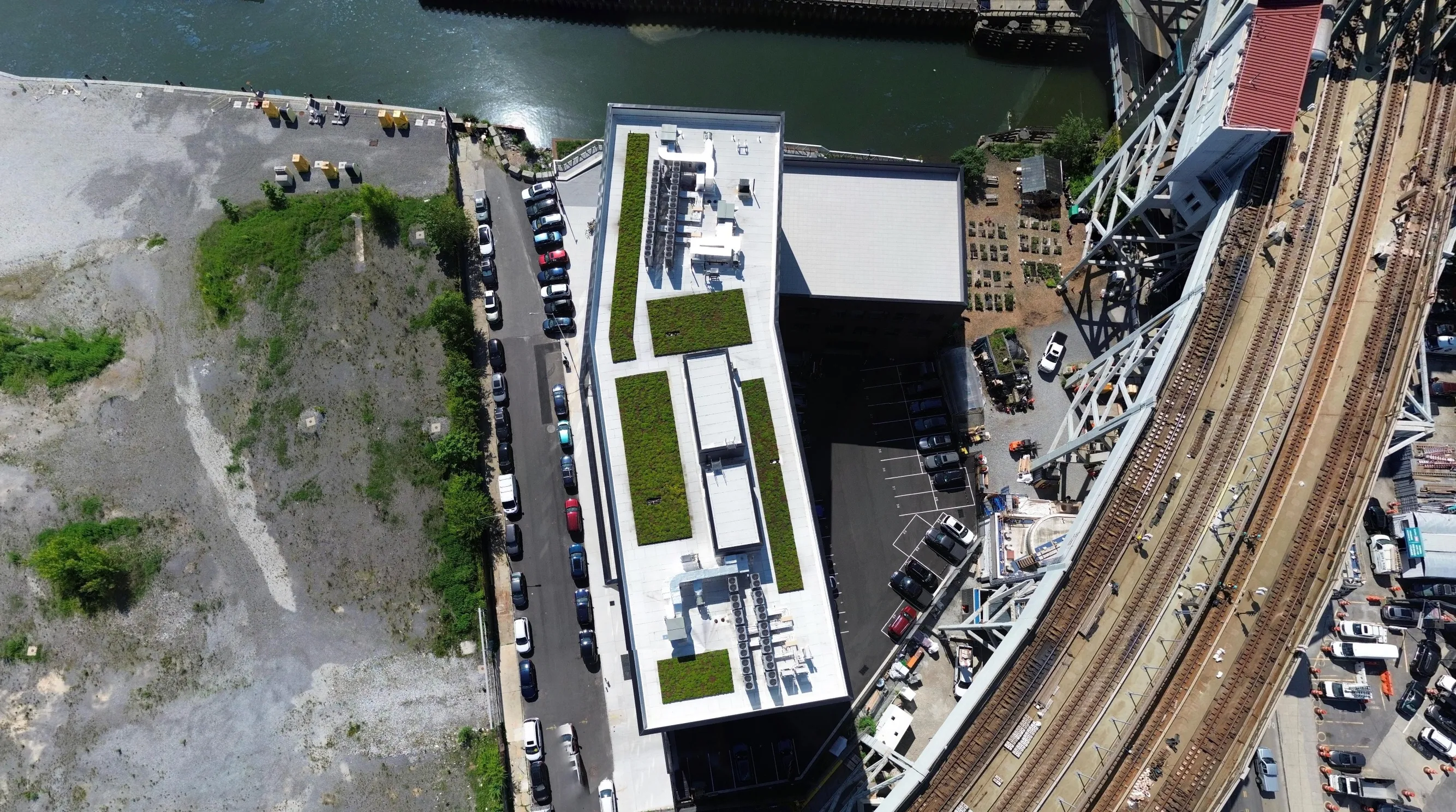
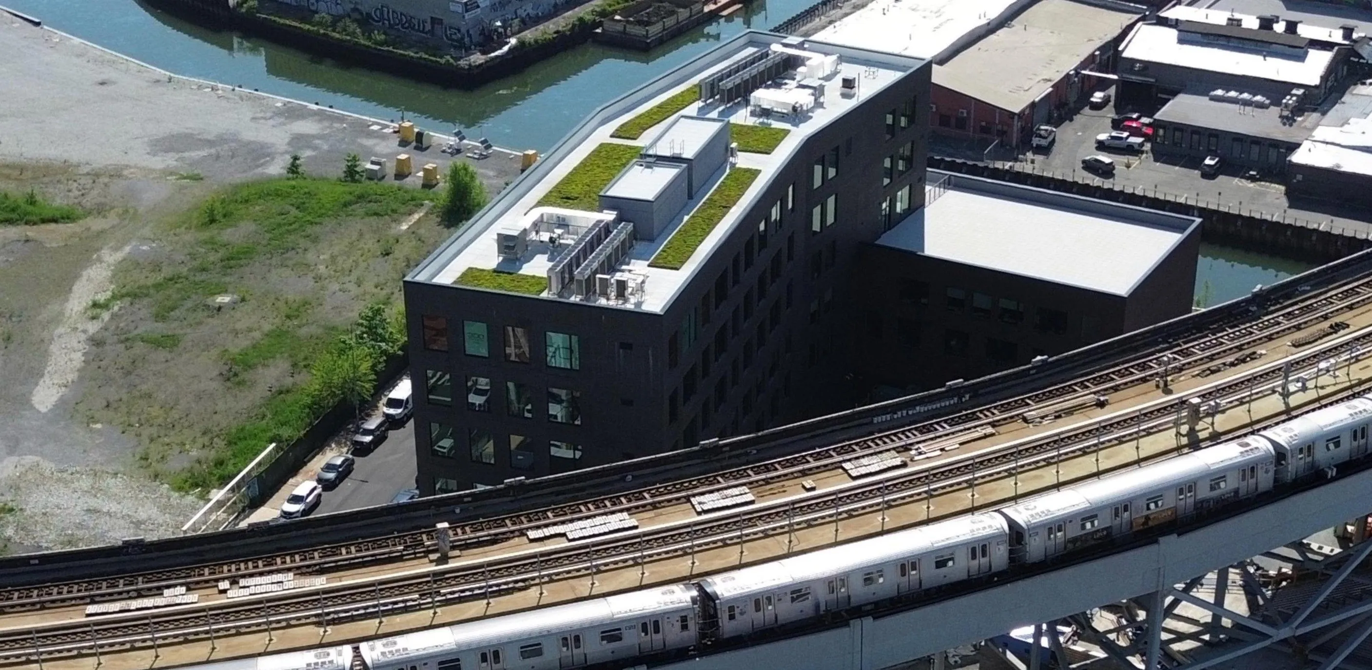
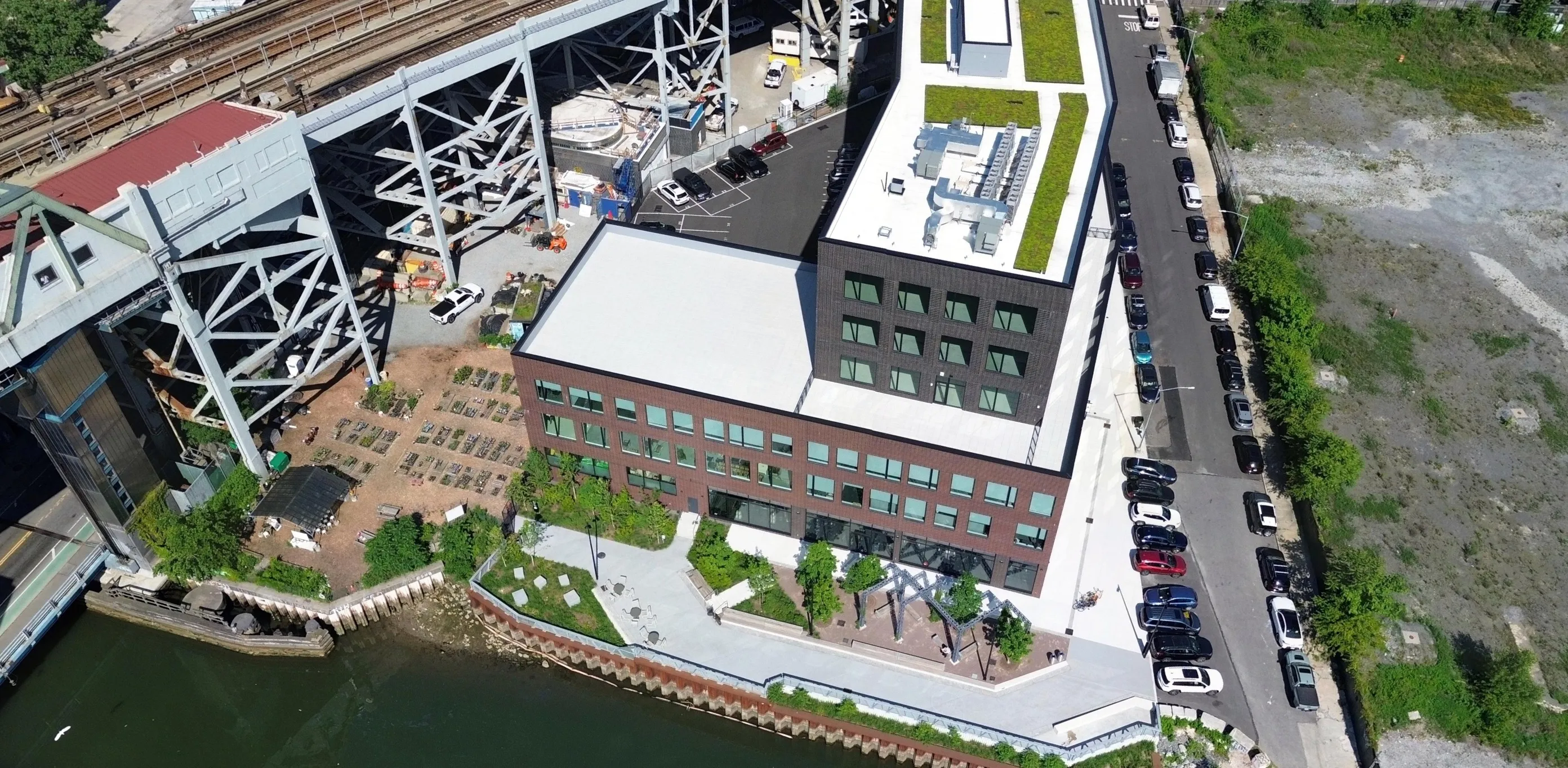
Ultra-high-resolution data (2.8 cm GSD) used as high-fidelity training signals for perception models.

  • ML training datasets

  • Asset recognition models

  • Application integration inputs

Aerial view of an urban street intersection with yellow crosswalk lines and several parked cars beside multi-story buildings.

Orthomosaics

Structured spatial datasets optimized for mapping models and geospatial AI systems.

  • GIS model layers

  • Spatial reasoning systems

  • Planning algorithms

Create your dynamic geospatial model
Build dynamic, continuously updated world models.

Why AI teams choose Spexi

Pinpoint coverage - Capture targeted training data exactly where models need improvement.

Ultra-high resolution - Improve model accuracy and detection performance with 2.8cm detail.

Fully standardized datasets - Eliminate data preprocessing bottlenecks for machine learning pipelines.

Rapid turnaround - Enable continuous retraining and model iteration cycles.

API-first integration - Integrate directly into ML pipelines and data infrastructure.

Powering real-world physcial AI workflows

High-resolution drone data that fuels the core computer vision tasks your AI models rely on.

Aerial view of a construction site with steel rebar, wooden planks, pipes, and concrete foundations in progress.Aerial view of a construction site with multiple reinforcement cages labeled in pink boxes.

Object detection

Use case: Street mapping, object classification

Aerial view of a residential area showing several long, narrow buildings with parked cars and surrounding green yards with trees and garden sheds.Aerial view of a residential area with five adjacent buildings having red roofs, green cars parked beside them, purple marked parking areas, and purple highlighted trees and bushes.

Segmentation

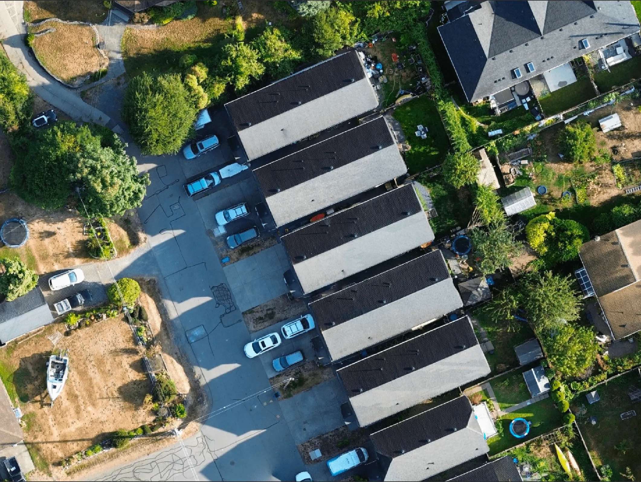
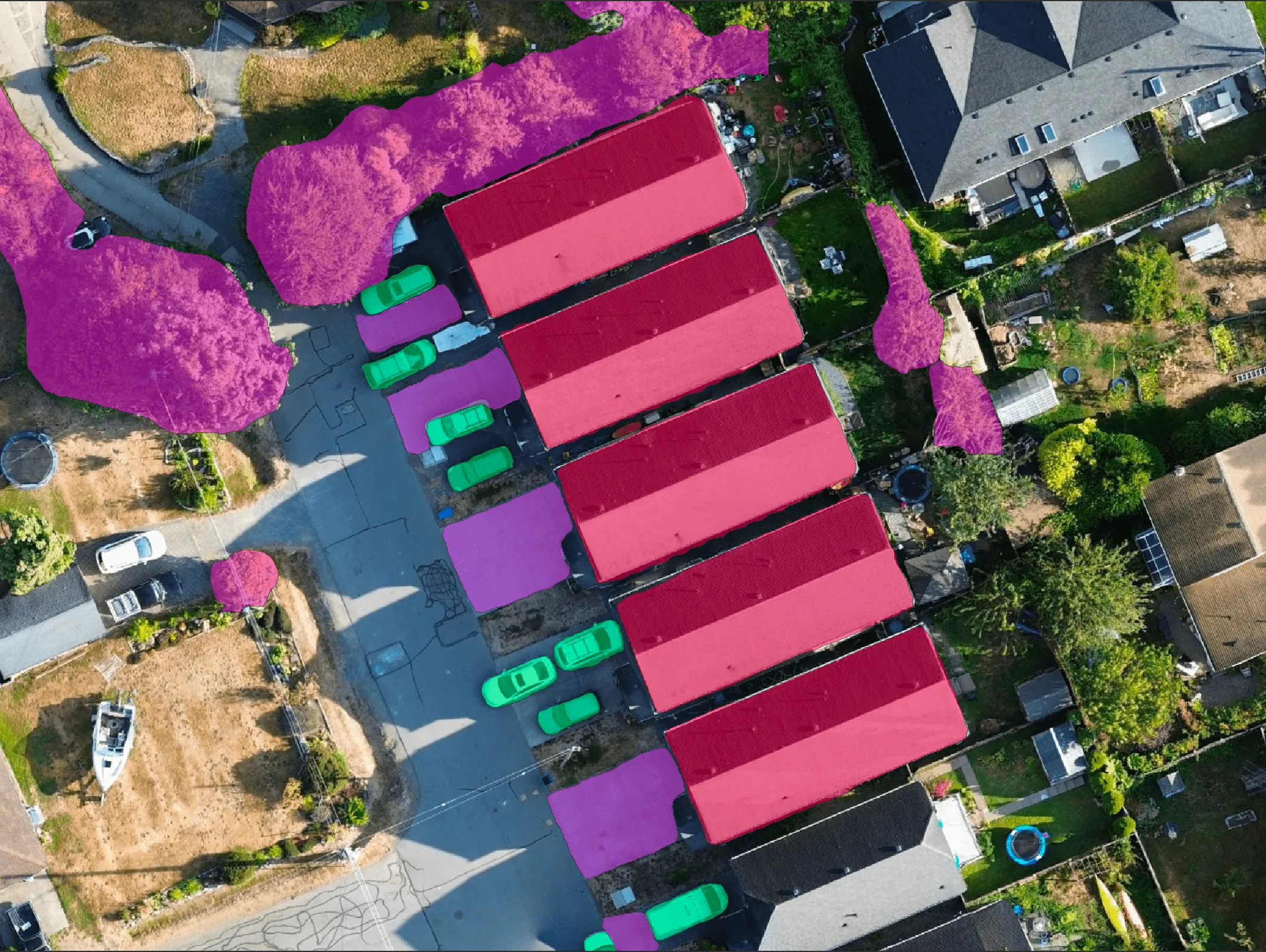
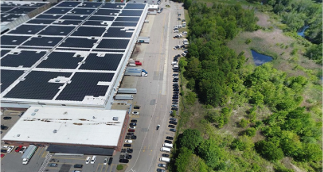
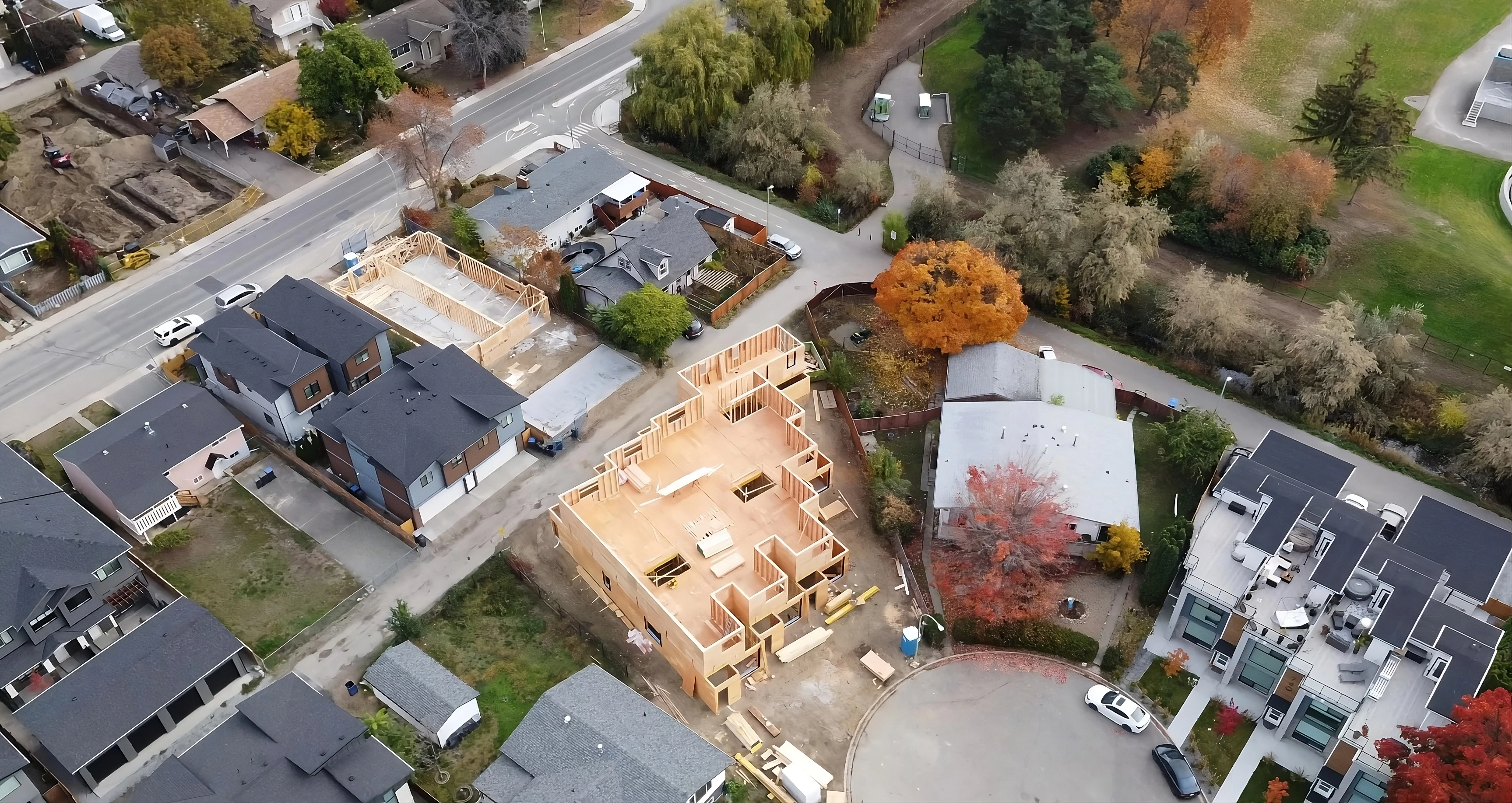
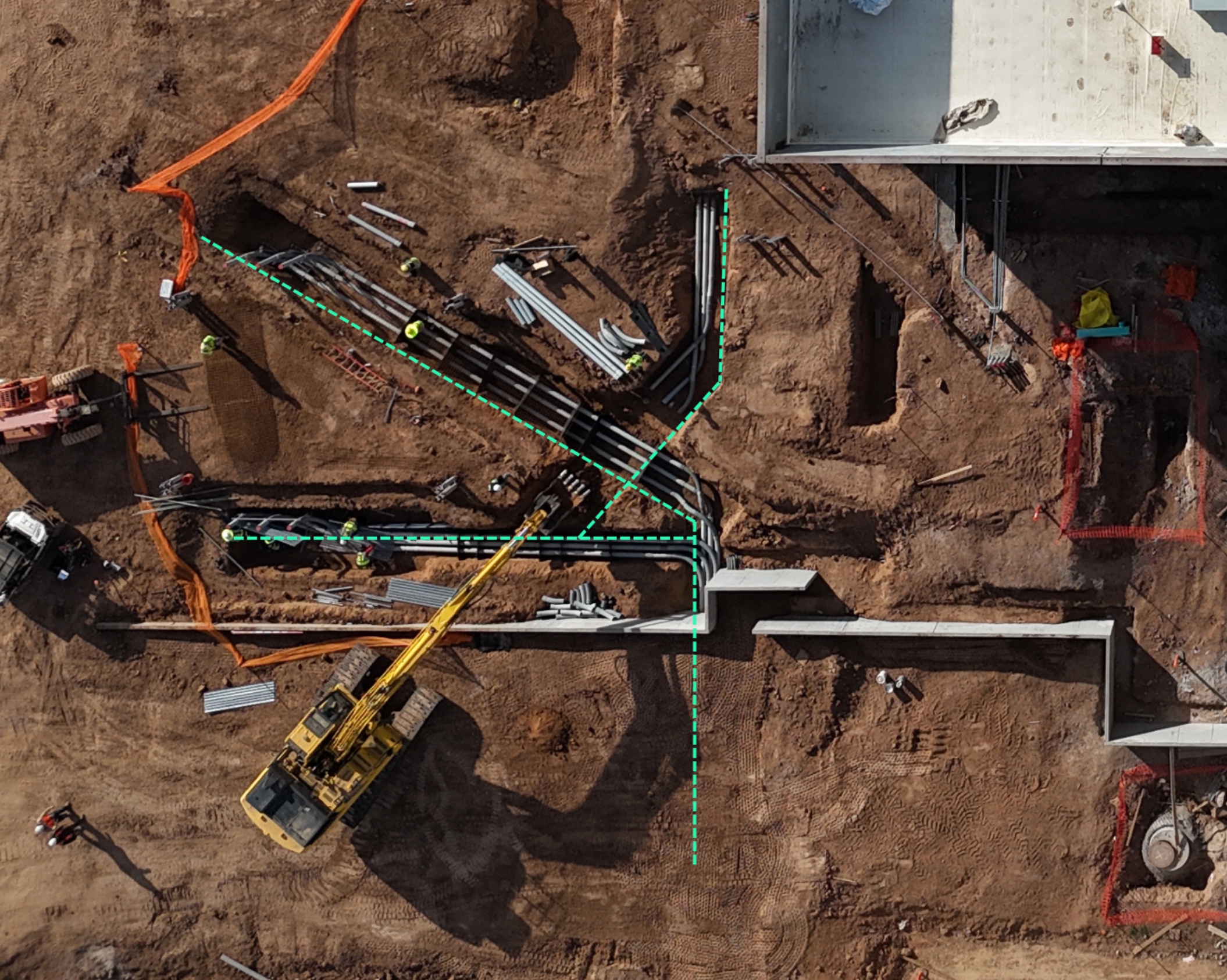
Use case: Roof damage detection, construction progress, land cover detection

Aerial view of a residential neighborhood with a house under construction surrounded by completed houses and autumn-colored trees.Aerial view of a residential neighborhood featuring houses, a circular cul-de-sac, trees, and green spaces.

Change detection

Use case: Post-disaster analysis, encroachment alerts

Aerial view of a city neighborhood with rows of residential buildings, trees, and a prominent church with a tall steeple in the center.Aerial view of a neighborhood with a central church surrounded by multi-story residential buildings and trees.

Digital twin creation

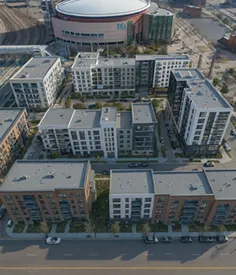
Use case: Infrastructure & urban modeling, autonomous navigation

Aerial view of a mostly empty parking lot near a large circular arena building.Aerial view of a modern residential complex with multiple mid-rise apartment buildings and a large arena in the background.

Synthetic data generation

Use case: AI model training (detection, mapping, risk assessment)

Give your physical AI systems real-world data.

Get the real-world data your AI needs