
Finally, somewhere you can fly without a permit, a no-fly zone, or a Karen.
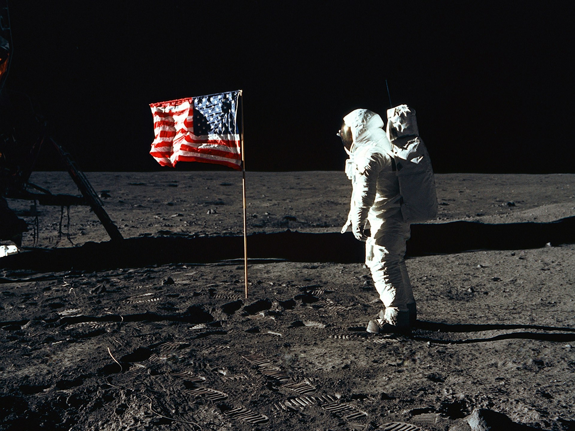
From crater mapping to alien artifact recovery, regolith surveys to flag repositioning, we give pilots the up-to-date visuals they need to reduce risk, resolve faster, and protect their moon buggy.
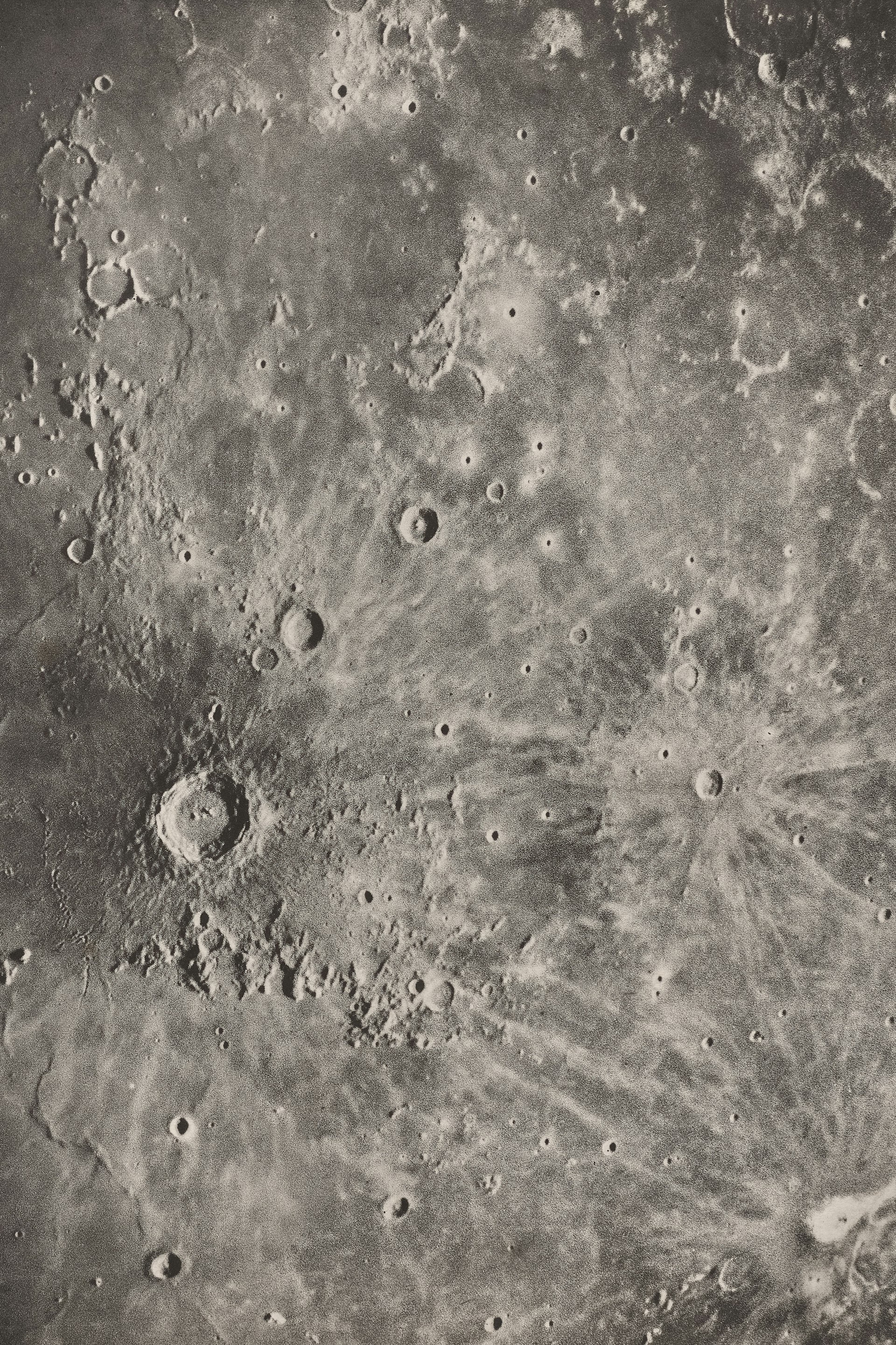
Inspect craters without human error using high-res drone imagery. Eliminate outdated data and identify lava tube collapse risk, meteor exposure, or rogue rover activity before launch time.
Track changes in lunar surface condition with up-to-date aerial imagery. Catch regolith drift, unreported alien additions, or risk creep before renewal. Use current aerial visuals to avoid bad data, flag disputes, or last-minute cancellations.

Capture post-impact imagery fast to verify damage and prevent fraud. Skip the delays and risks of physical site visits, in space, no one can hear you dispute a claim.
Deploy drones immediately after a meteor strike for real-time impact mapping. Replace slow, expensive rocket flyovers and guesswork with accurate, on-demand data for loss modeling and alien triage.


Explore how our platform supports faster, more defensible lunar decisions using fresh imagery captured before the aliens move things around again.


