Data provenance risk
Unclear image rights can stall a launch, or force you to retrain from scratch.

Aerial imagery for the Physical AI teams building world models and spatial intelligence.
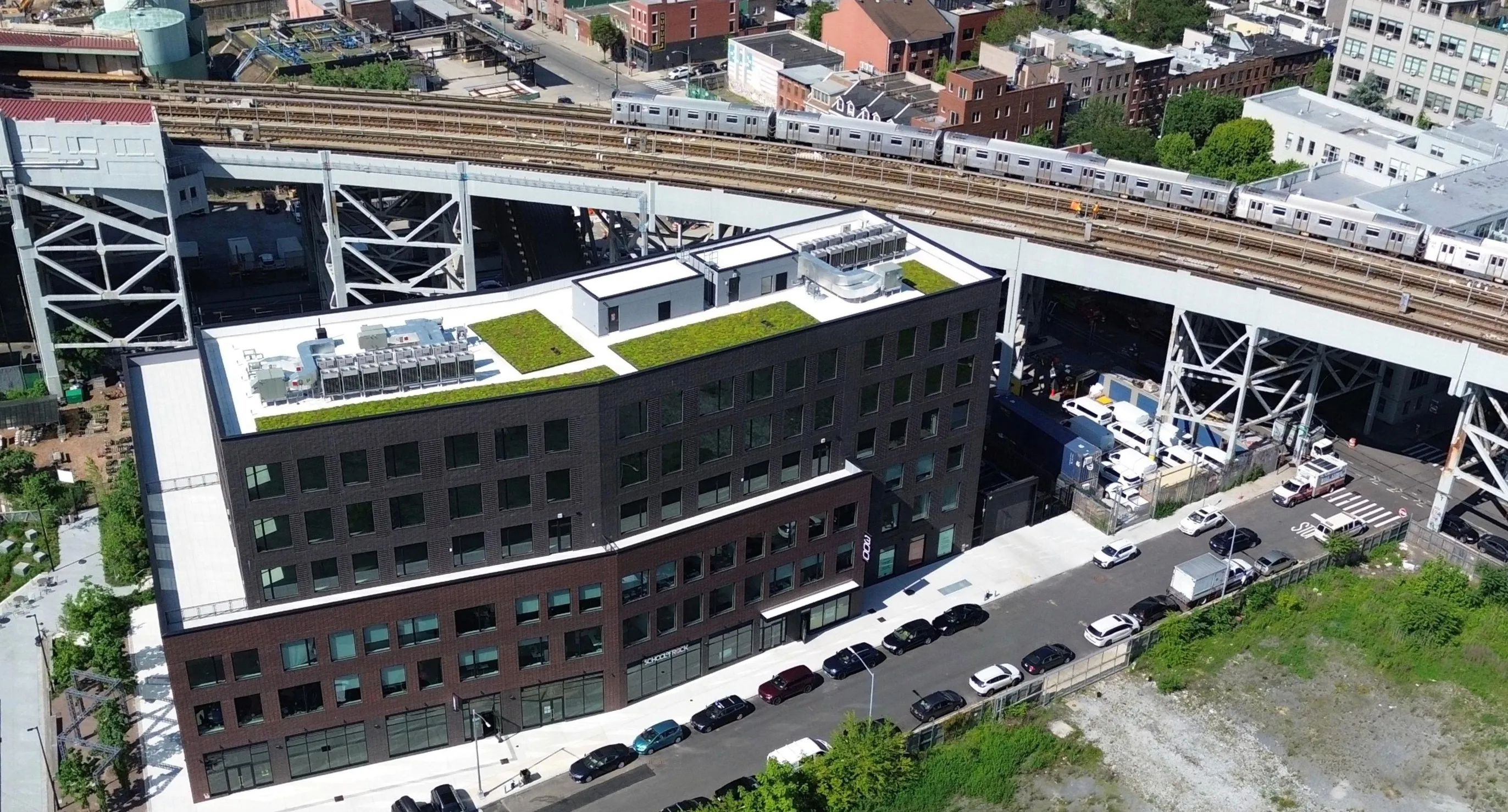
Cities shown are a sample of the archive. Ecoregion tiles show covered cities within their surrounding ecoregion. All scenes are illustrative.
Unclear image rights can stall a launch, or force you to retrain from scratch.
Collecting the data yourself burns runway before training even starts.
Your best engineers spend time cleaning imagery instead of training models.
Top-down airplane and satellite imagery with limited sun angles isn't enough to complement streetview datasets.
Value
Model Training gives your team Spexi’s drone archive as one licensed, training-ready dataset. It answers each bottleneck with one contract, one transfer, one metadata standard and the high-resolution aerial view of every city block in its coverage.
Add the aerial view of every covered metro, from multiple angles and altitudes at 2.8 cm or sharper, to the ground-level data you already have.
License 32M+ images across 25,000 km² of U.S. and Canadian cities in one bulk transfer, and put the runway you would spend on a fleet into the model.
Every image is captured to the same programmatic standard and carries the same metadata, so your team builds a training mix with a query instead of a sorting project.
One licence covers every image, with rights to train models and deploy them commercially, so legal reviews a single contract instead of a pile of sources.
Model Training licenses the whole archive for training and commercial deployment, in one contract and one bulk transfer.
The Spexi pilot network captures cities in standardized, automated flight plans. Each image enters the archive with its footprint, camera pose and timestamps, so you can filter to the scenes your model needs most.
Spexi Image API · Search images
GET /developer-api/api/v1/image
→ GeoJSON features: footprint, camera pose, capture time
“All south-facing imagery in San Francisco, collected before 12 pm.”
“-90° imagery of Phoenix, between 10 am and 2 pm.”
“North-facing imagery along I-5, between April and June 2025.”
Everything in a Living Coverage subscription, at a glance.
6 mo
Maximum image age
2.8 cm
Resolution (GSD)
25 acres
Per Spexigon
25 seats
Included per subscription
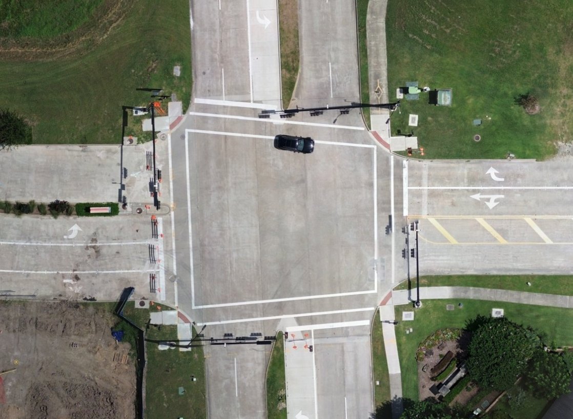
Overlapping captures stitched into one seamless, map-ready image. Standard and Aligned Orthomosaics are available as add-ons.

Individual nadir and oblique photos from every capture.
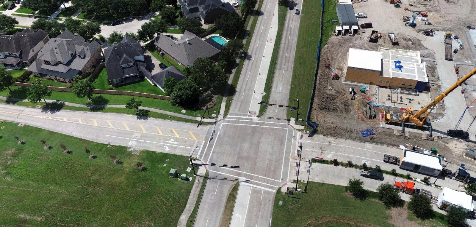
360° views captured from above the site, so you can look around a location the way a crew on the ground would.
Also included
New captures in your area, no extra cost
Past captures already on file
Straight-down and angled views
Every capture verified before publishing
Unlimited API calls
Simple annual subscription
Add-on
Need a site sooner? Task a new capture on your own timeline.
72 hrs
Turnaround in active coverage areas
Your data rights
Use imagery across your organization and in your own maps, reports, and applications for the life of your subscription.
Chain of custody
Every capture is timestamped, geo-located, and verified.
Freshness guarantee
If an area goes past six months, Spexi recaptures it and credits your account.
Access control
Start off with 25 user seats, with API keys managed by your admin.
Flight operations
Flown by vetted local pilots following Transport Canada and FAA rules.
Data residency
US customers' data is stored in the US, while Canadian customers' data is stored in Canada.
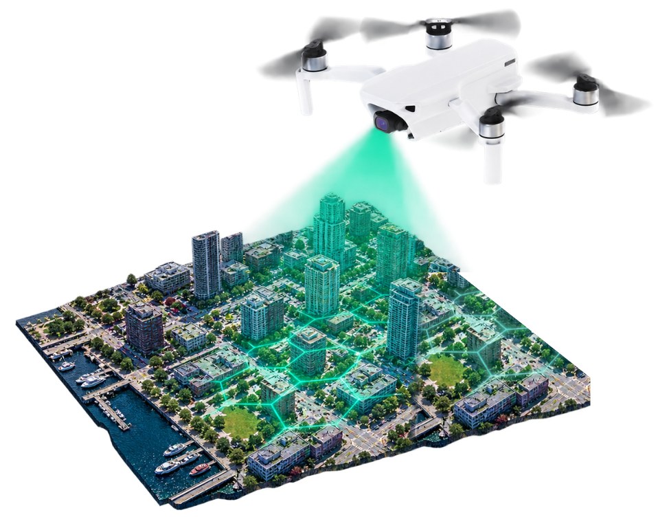
Still have a question? Our team can walk you through coverage in your area.
It's an area-based entitlement that keeps imagery no more than six months old. It also includes the captures already on file and lets you request fresh imagery when you need it.
Every area is recaptured at least every six months.
Request an on-demand capture. In active coverage areas, it's delivered within 72 hours of collection.
Spexi recaptures the area and credits your account.
Subscriptions (referred to as entitlements) cover Spexi coverage zones, which include 100+ major U.S. and Canadian cities. Outside those zones, you can order one-off captures or buy existing imagery. Contact Sales to request a new area.
Yes. If the imagery exists, buy it from the archive. If it doesn't, request a new capture.
Not on its own. Active job sites change faster than a six-month cycle. Use on-demand capture for milestone imagery, and Living Coverage to keep the surrounding area current.
Static Images in nadir and oblique views, plus Standard or Aligned Orthomosaics as add-ons. Imagery is delivered through the Image API, Spexi Worldviewer, or ArcGIS.
2.8 cm (1.1 inch) ground sample distance.
Yes. Living Coverage imagery is available in ArcGIS through the Spexi Content Store for ArcGIS.
Each subscription includes 25 seats, with unlimited API calls.
You can use it across your organization and in your own maps and reports.
Your subscription licenses the imagery for use across your organization, including in your own maps, reports, and applications, for the life of your subscription. Captures shared into your area by other customers come with the same rights. For public redistribution or other uses, contact Sales.
Yes. Captures already on file for your area come with the subscription.
Spexi doesn't capture over airports, correctional facilities, large bodies of water, or among tall downtown buildings, in line with flight regulations.
Aerial flyovers operate on a fixed cadence. Often, their maximum revisit is capped at every 6 months. Living Coverage is continuously collecting imagery to keep each image no older than 6 months the effective minimum refresh rate.
Living Coverage for major cities starts at $100 per sq km. Price depends on area size, add-ons, and current promotions.