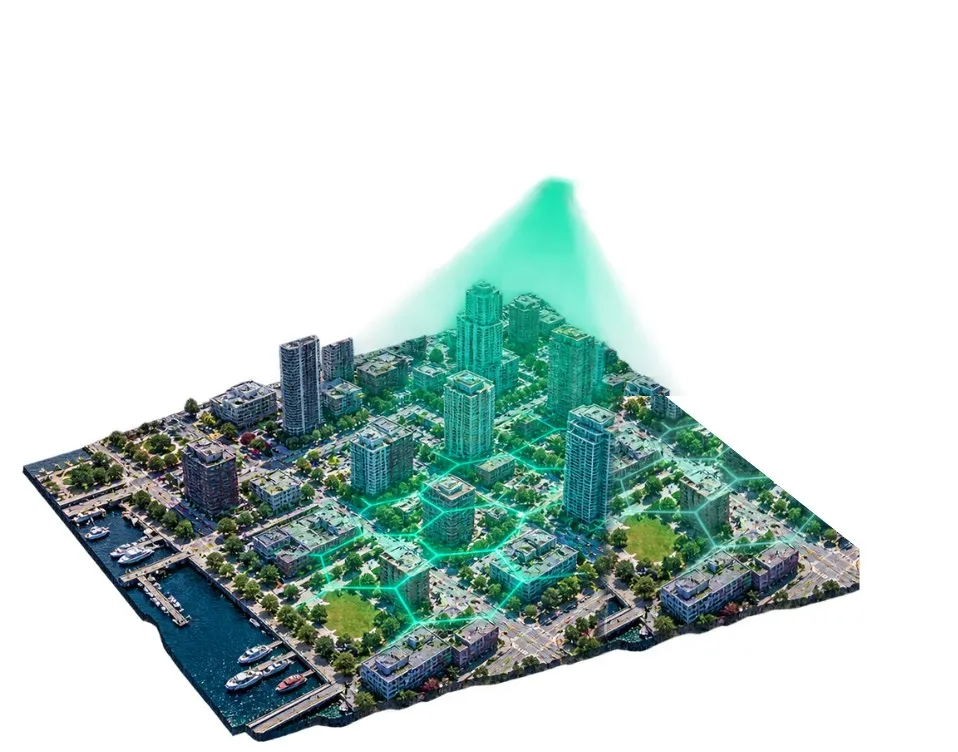
Aerial imagery for the Physical AI teams building world models and spatial intelligence.
Millions of images across hundreds of U.S. and Canadian cities, captured at 2.8 cm or sharper and licensed to train models and deploy them commercially.
List the cities your model will operate in. We'll reply with what's already captured in each one.
Unclear rights, costly collection and messy imagery slow teams down before training even starts.
Unclear image rights can stall a launch, or force you to retrain from scratch.
Collecting the data yourself burns runway before training even starts.
Engineers clean imagery instead of training, and top-down satellite views miss the angles your model needs.
One licensed, training-ready archive of accurate, measurable drone imagery, with an aerial view of every city block in its coverage.
Multiple angles and altitudes at 2.8 cm or sharper, to pair with the ground-level data you already have.
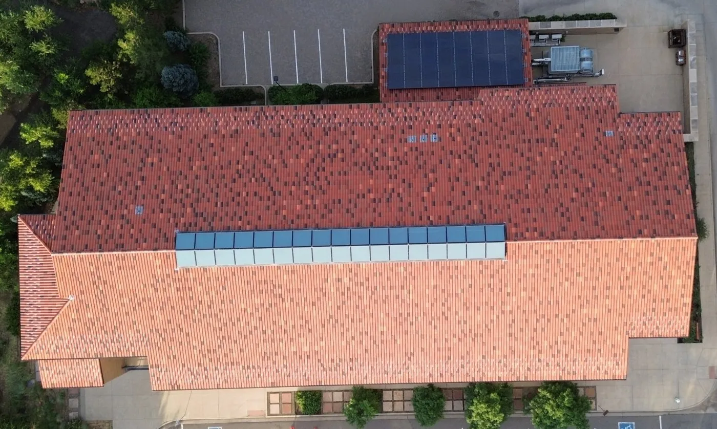
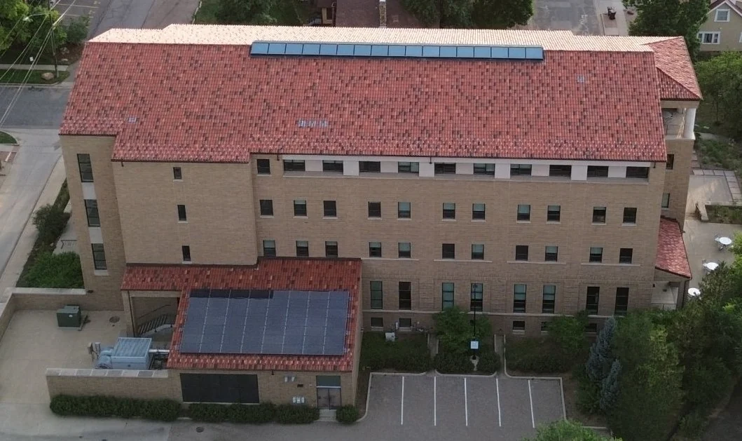
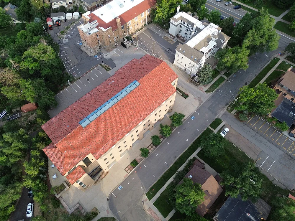
Top-down and angled images, 360° panoramas, plus orthomosaic-ready and 3D-reconstruction-ready subsets.
Every image is captured to the same standard with the same metadata, so you build the mix with queries.
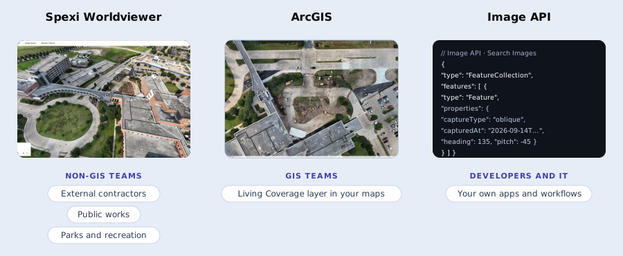
One licence with rights to train models and deploy them commercially, so legal reviews a single contract.
How it works
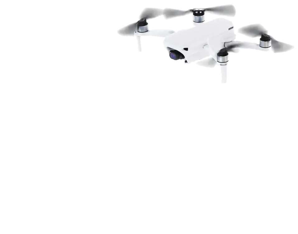
The Spexi pilot network flies standardized, automated flight plans. Each image enters the archive with its footprint, camera pose and timestamps.
Search by place and angle
Filter by bounding box, polygon, capture type, date, heading, pitch and altitude.
Metadata on every image
Footprint, heading, pitch, roll, altitude, camera position and timestamps.
2.8 cm resolution
Ground sample distance per pixel, or sharper.
Resolution
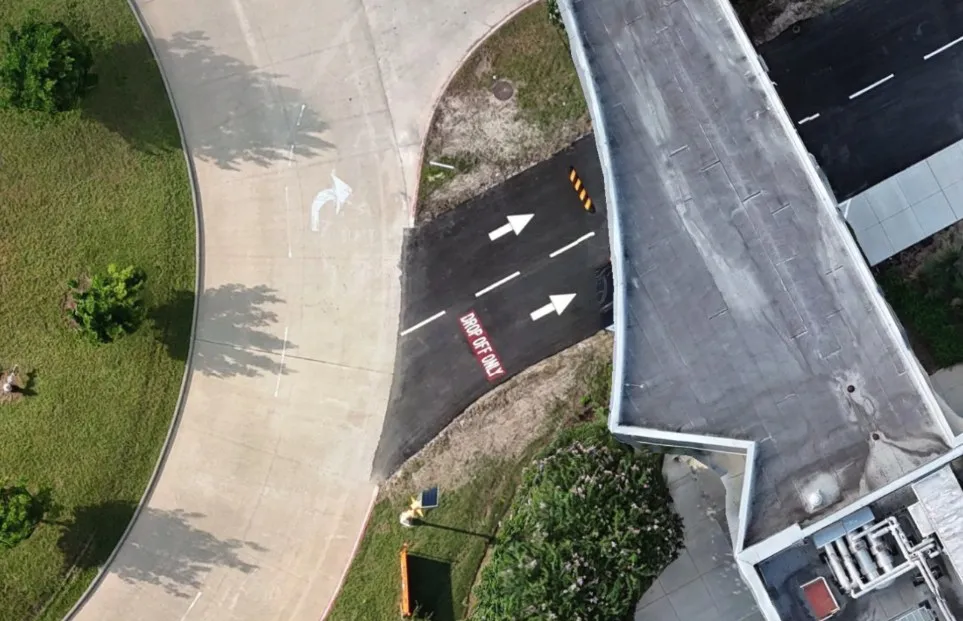
Spexi drone capture
2.8 cm per pixel
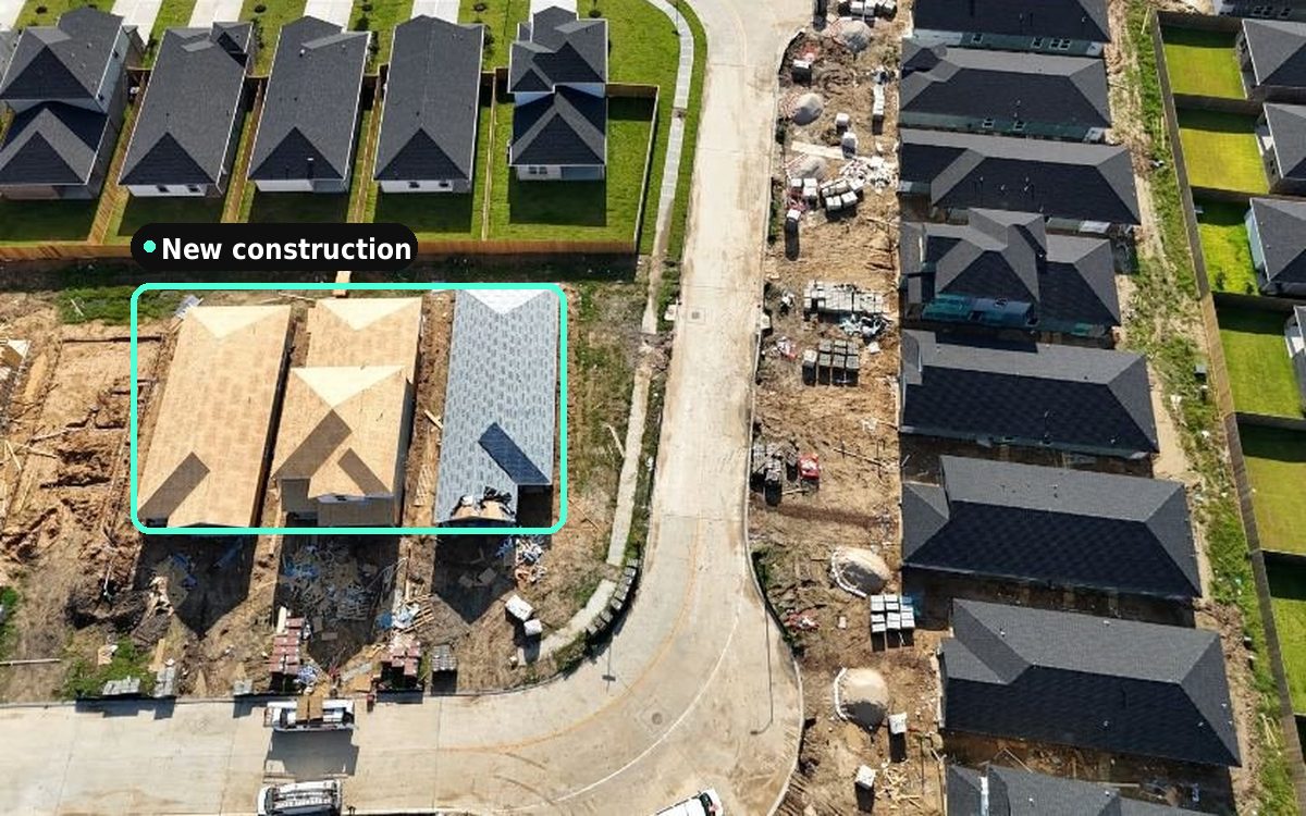
Multi-view captures with 70% overlap support generalizable reconstruction and novel-view synthesis.
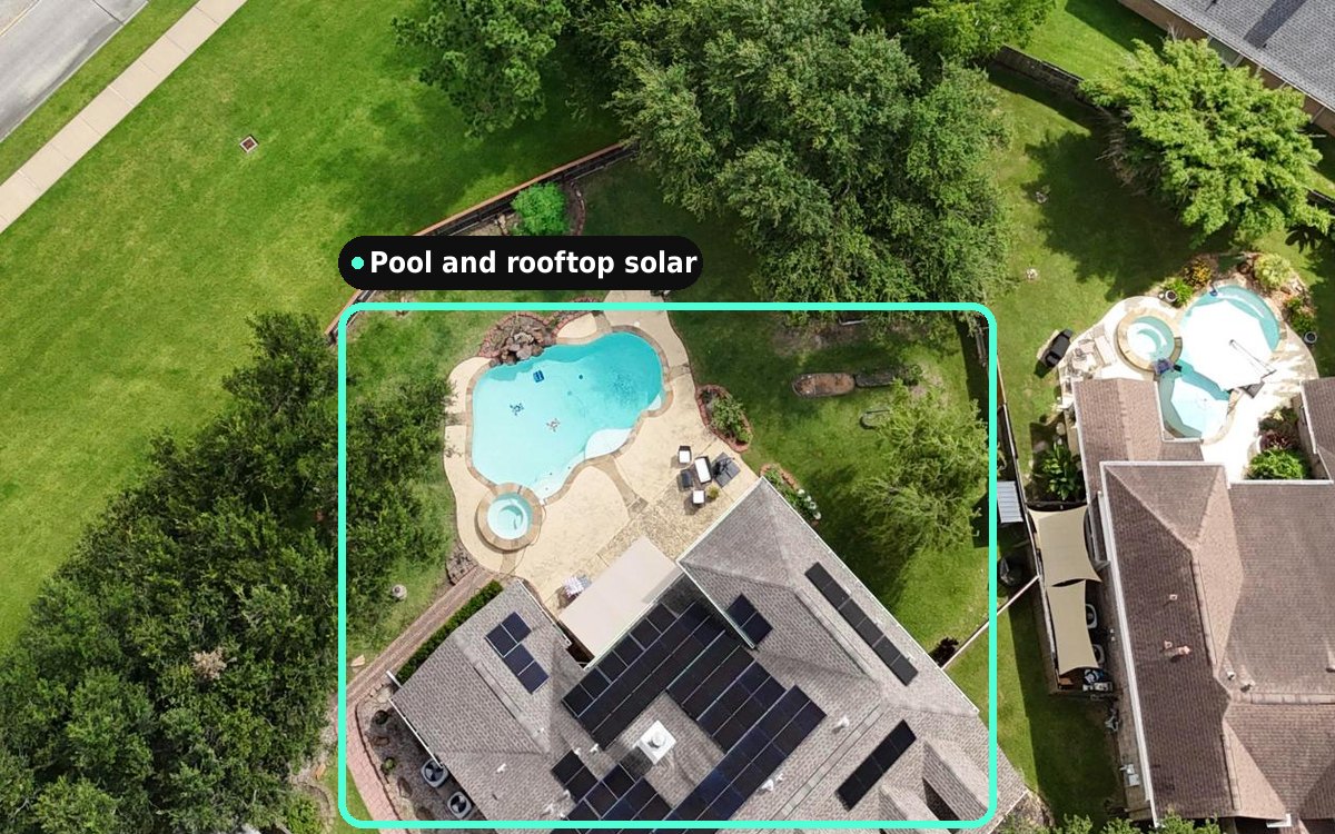
Match ground and aerial views across hundreds of cities, with camera pose on every image.
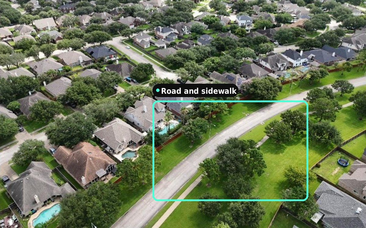
Pre-train on millions of standardized images from every season and angle.
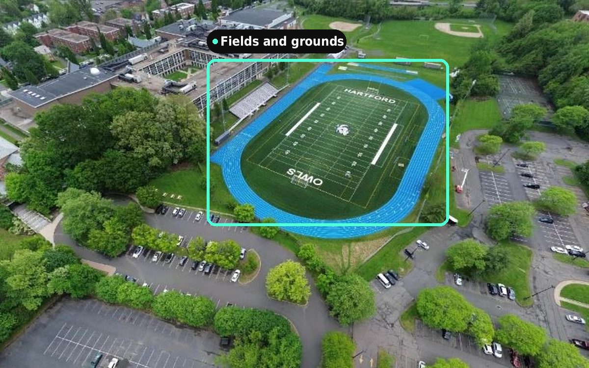
Query rare scenes like backyard pools, construction sites and complex intersections.
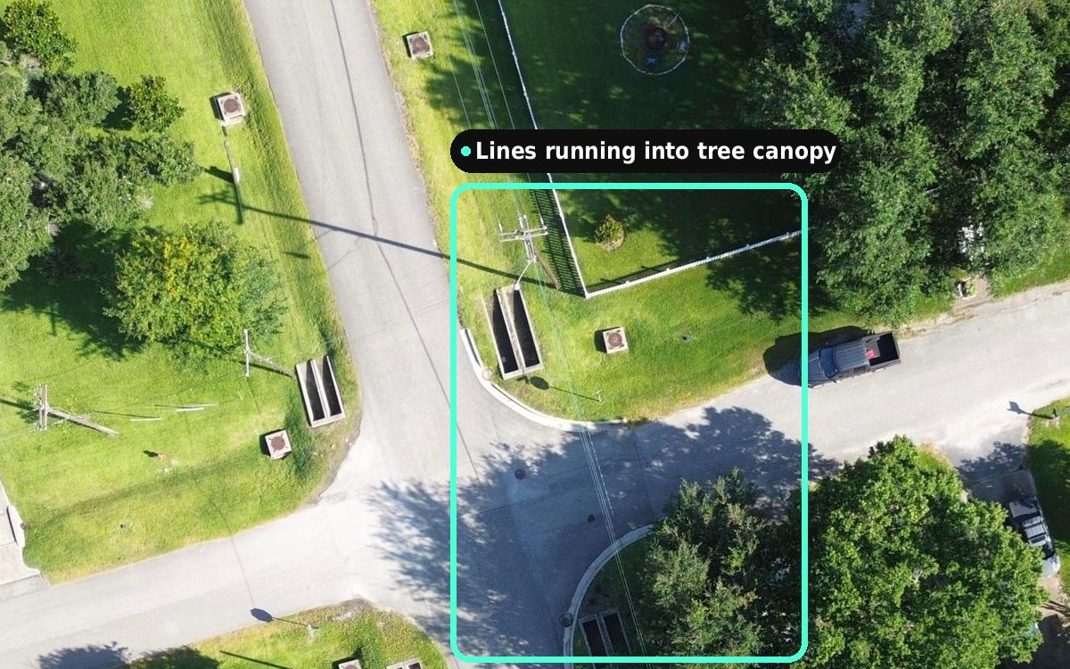
Test how models hold up across climates, regions and urban layouts.
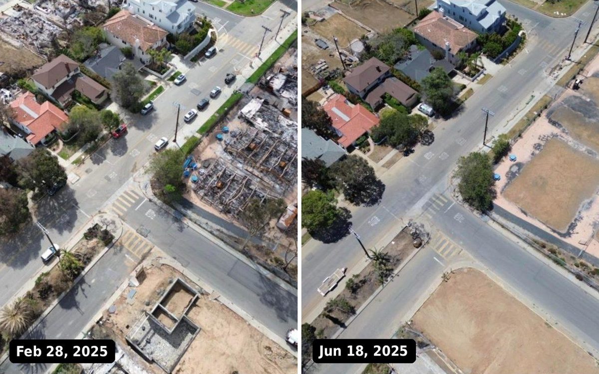
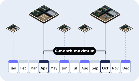
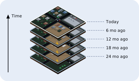
Captures from 2024 to today show the same places across seasons.
Still have a question? Tell us the cities your model needs and we'll show you what's already captured.
Train models on the archive and deploy them commercially for the term of your licence. Raw images may not be resold.
No, it's non-exclusive. Its scope is set by the archive size at purchase, and it can be amended as new imagery is added.
Footprint polygon, capture type, heading, pitch, roll, altitude above ground, camera position, capture and processing timestamps, and tags.
By bulk transfer as JPG files, with a metadata file you can filter on any field.
Faces and licence plates aren't identifiable at the archive's resolution. Flights follow FAA and Transport Canada rules, and U.S. customer data stays in the U.S., Canadian data in Canada.