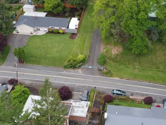
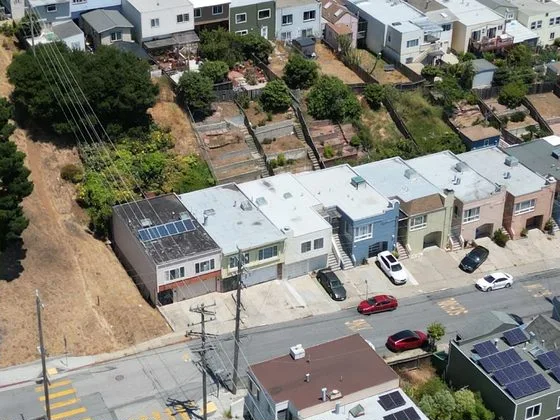
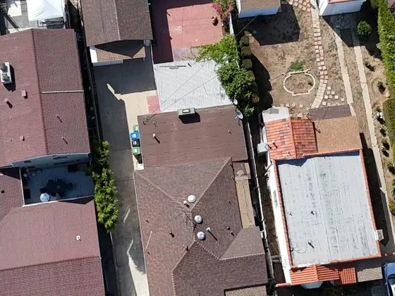
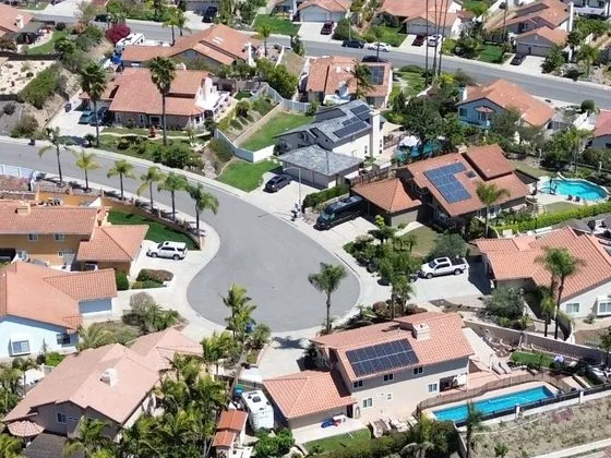
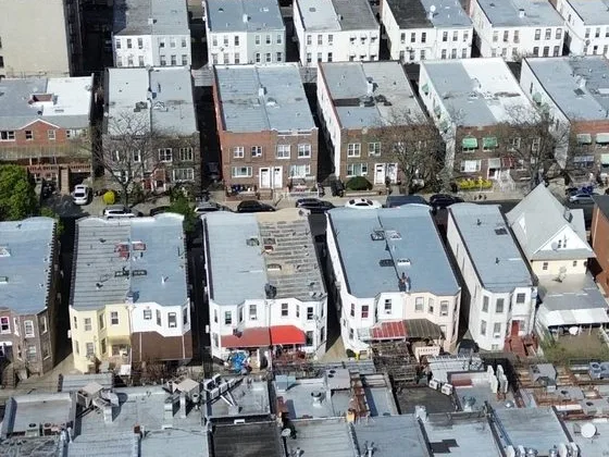
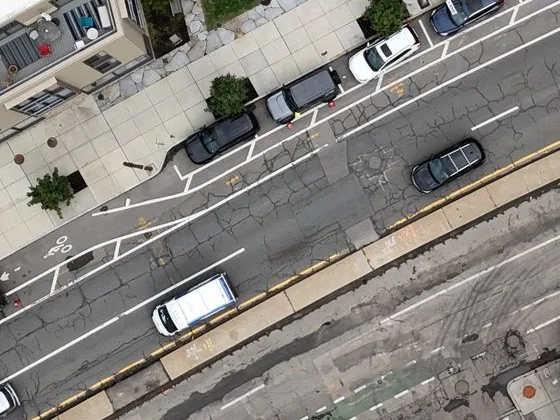
Drone images of real cities, licensed for model training

Aerial imagery for the Physical AI teams building world models and spatial intelligence.

See what's captured where your model needs to work

List the cities your model will operate in. We'll reply with what's already captured in each one.

Get a coverage report

Millions of images, already captured.

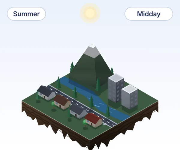
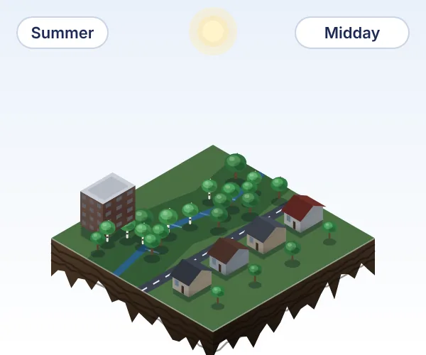
  • Illustrated 3D tile: Vancouver, BC, Pacific temperate rainforest
    Vancouver, BC
    Pacific temperate rainforest
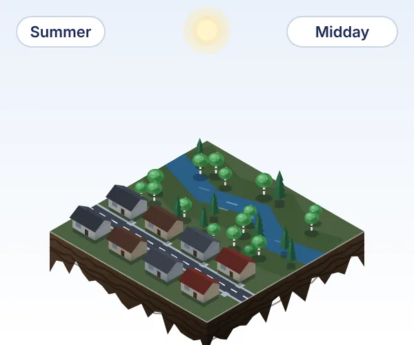
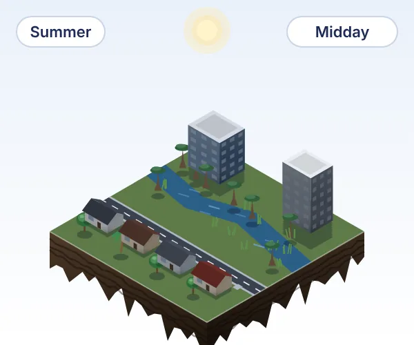
  • Illustrated 3D tile: Edmonton, AB, Aspen parkland at the boreal edge
    Edmonton, AB
    Aspen parkland at the boreal edge
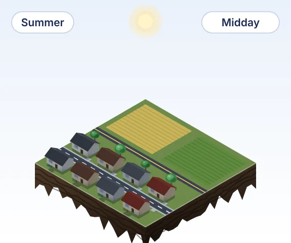
  • Illustrated 3D tile: Saskatoon, SK, Northern Great Plains
    Saskatoon, SK
    Northern Great Plains
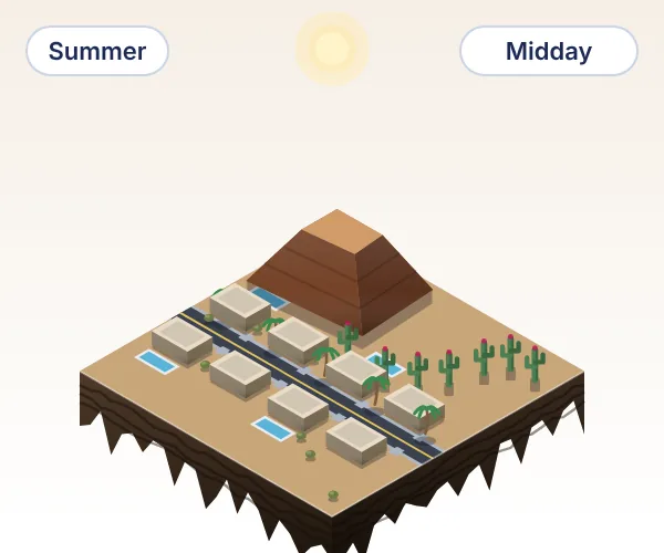
  • Illustrated 3D tile: Phoenix, AZ, Sonoran Desert
    Phoenix, AZ
    Sonoran Desert
  • Illustrated 3D tile: Toronto, ON, Mixedwood plains
    Toronto, ON
    Mixedwood plains
  • Illustrated 3D tile: Houston, TX, Gulf Coast prairies and marshes
    Houston, TX
    Gulf Coast prairies and marshes
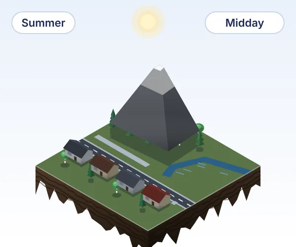
  • Illustrated 3D tile: Calgary, AB, Rocky Mountain foothills
    Calgary, AB
    Rocky Mountain foothills
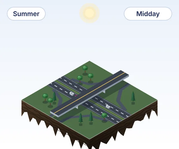
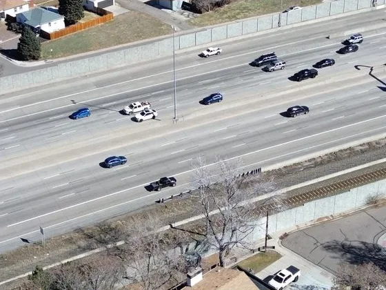
  • Illustrated 3D tile: Highways, Interchanges, ramps and overpasses
    Highways
    Interchanges, ramps and overpasses
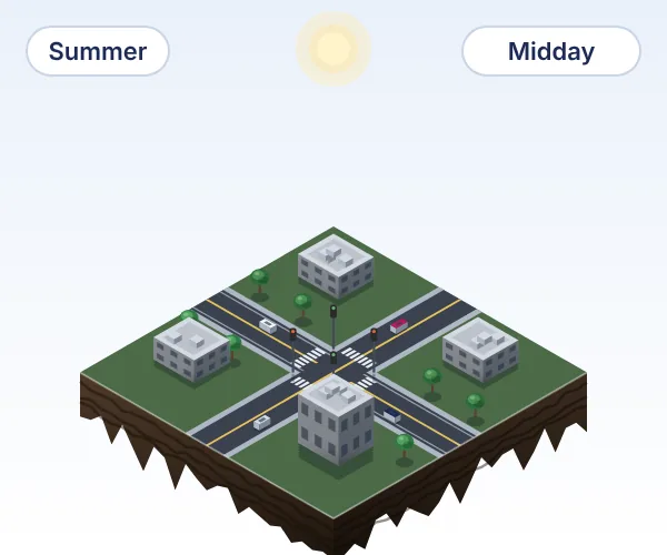
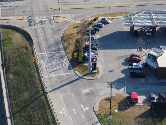
  • Illustrated 3D tile: Roads, Intersections, lane markings and crosswalks
    Roads
    Intersections, lane markings and crosswalks
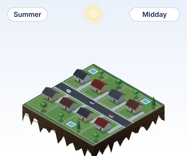
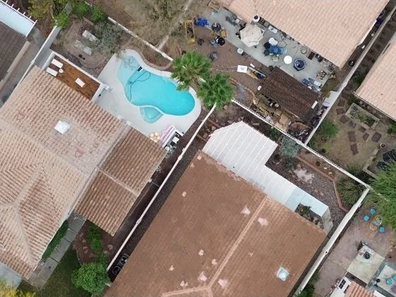
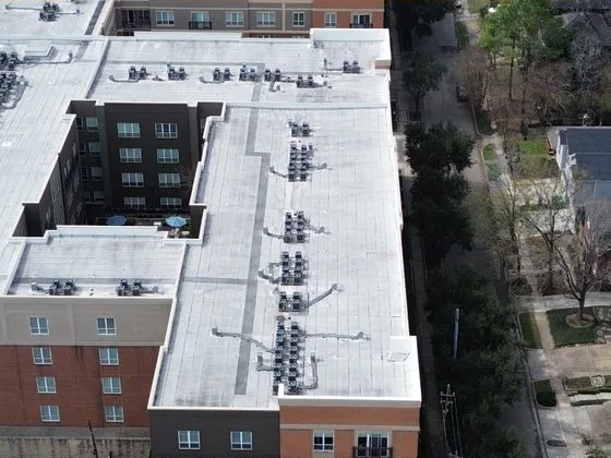
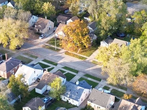
  • Illustrated 3D tile: Residential parcels, Lots, roofs, driveways and yards
    Residential parcels
    Lots, roofs, driveways and yards
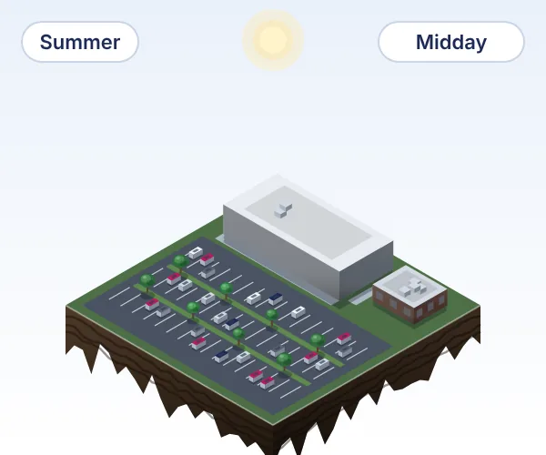
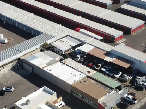
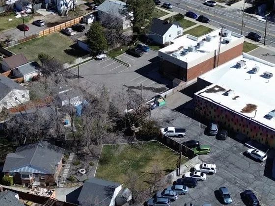
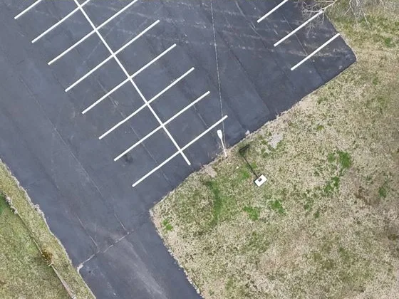
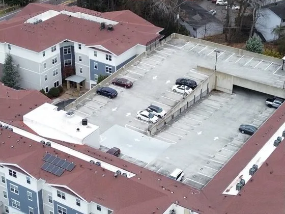
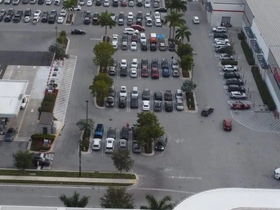
  • Illustrated 3D tile: Commercial parcels, Retail, parking and loading areas
    Commercial parcels
    Retail, parking and loading areas
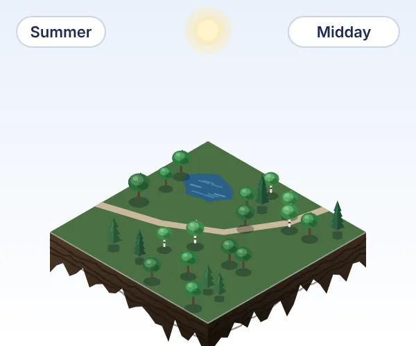
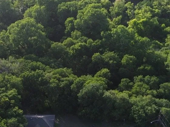
  • Illustrated 3D tile: Tree species, Maple, oak, birch, cherry, spruce, pine and aspen
    Tree species
    Maple, oak, birch, cherry, spruce, pine and aspen
  • Illustrated 3D tile: Vancouver, BC, Pacific temperate rainforest
    Vancouver, BC
    Pacific temperate rainforest
  • Illustrated 3D tile: Edmonton, AB, Aspen parkland at the boreal edge
    Edmonton, AB
    Aspen parkland at the boreal edge
  • Illustrated 3D tile: Saskatoon, SK, Northern Great Plains
    Saskatoon, SK
    Northern Great Plains
  • Illustrated 3D tile: Phoenix, AZ, Sonoran Desert
    Phoenix, AZ
    Sonoran Desert
  • Illustrated 3D tile: Toronto, ON, Mixedwood plains
    Toronto, ON
    Mixedwood plains
  • Illustrated 3D tile: Houston, TX, Gulf Coast prairies and marshes
    Houston, TX
    Gulf Coast prairies and marshes
  • Illustrated 3D tile: Calgary, AB, Rocky Mountain foothills
    Calgary, AB
    Rocky Mountain foothills
  • Illustrated 3D tile: Highways, Interchanges, ramps and overpasses
    Highways
    Interchanges, ramps and overpasses
  • Illustrated 3D tile: Roads, Intersections, lane markings and crosswalks
    Roads
    Intersections, lane markings and crosswalks
  • Illustrated 3D tile: Residential parcels, Lots, roofs, driveways and yards
    Residential parcels
    Lots, roofs, driveways and yards
  • Illustrated 3D tile: Commercial parcels, Retail, parking and loading areas
    Commercial parcels
    Retail, parking and loading areas
  • Illustrated 3D tile: Tree species, Maple, oak, birch, cherry, spruce, pine and aspen
    Tree species
    Maple, oak, birch, cherry, spruce, pine and aspen

Most aerial imagery is licensed for viewing, not training.

Spexi's licence covers model training and commercial deployment in one contract.

  • View in maps and reports
  • Train models
  • Deploy models commercially
  • Camera pose on every image

Why Physical AI teams license the archive

One licensed, training-ready dataset, instead of a capture program city by city.

A drone captures the building's rooftop landing pad straight down and the curb at an angle, both shown in green, alongside the car's existing street-level camera view. A chip reads 2.8 cm per pixel, and the curb's paint lines are crisp.H2.8 cm per pixel

The aerial view your model is missing.

Add the aerial view of every covered city, from multiple angles and altitudes at 2.8 cm or sharper, to the ground-level data you already have.

A floating island cut in the exact shape of the continental United States, with layered soil along its edges, state borders on its green surface, and clusters of glowing green hexagons rising from covered cities from Seattle, San Francisco and Los Angeles to Denver, Houston, Chicago, New York and Miami.

Skip the capture program.

License structured drone imagery of U.S. and Canadian cities, and put the runway you would spend on a fleet into the model.

Sixteen drone image cards lie in a neat grid, each carrying the same metadata strip. A query panel above sets Spexi Image API parameters: capture type oblique, pitch from -60 to -30, heading from 90 to 180, and a capture date range, inside a bounding box for your area. Green dashed lines run from the query to the five cards that match, which lift off the grid with green outlines while the rest fade. A label reads Training mix, 5 of 16 match.Spexi Image API · Search imagesbboxyour areacapture_typeobliquepitch[-60, -30]heading[90, 180]captured_at[2025-03, 2025-09]Training mix5 of 16 match

Query the training mix. No sorting required.

Every image is captured to the same standard and carries the same metadata, so your team builds a training mix with queries instead of tedious sorting.

The stack of aerial image plates now sits beside a single licence document marked with a check, and the barrier arm is raised so a car drives out on the open road.

One contract clears every image.

One licence covers every image, with rights to train models and deploy them commercially, so your legal team reviews a single contract instead of a pile of sources.
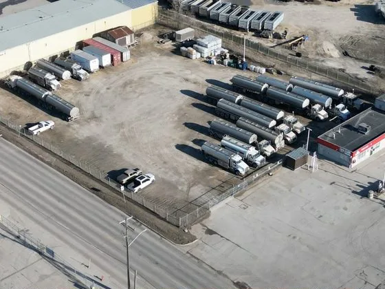
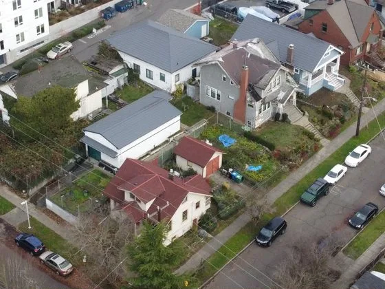
  • Close-up drone image of Winnipeg
    Winnipeg
  • Close-up drone image of Seattle
    Seattle
  • Close-up drone image of Portland
    Portland
  • Close-up drone image of San Francisco
    San Francisco
  • Close-up drone image of Los Angeles
    Los Angeles
  • Close-up drone image of San Diego
    San Diego
  • Close-up drone image of Las Vegas
    Las Vegas
  • Close-up drone image of Phoenix
    Phoenix
  • Close-up drone image of Salt Lake City
    Salt Lake City
  • Close-up drone image of Denver
    Denver
  • Close-up drone image of Dallas
    Dallas
  • Close-up drone image of Houston
    Houston
  • Close-up drone image of Austin
    Austin
  • Close-up drone image of Chicago
    Chicago
  • Close-up drone image of Detroit
    Detroit
  • Close-up drone image of Nashville
    Nashville
  • Close-up drone image of Atlanta
    Atlanta
  • Close-up drone image of Miami
    Miami
  • Close-up drone image of New York
    New York
  • Close-up drone image of Boston
    Boston
  • Close-up drone image of Winnipeg
    Winnipeg
  • Close-up drone image of Seattle
    Seattle
  • Close-up drone image of Portland
    Portland
  • Close-up drone image of San Francisco
    San Francisco
  • Close-up drone image of Los Angeles
    Los Angeles
  • Close-up drone image of San Diego
    San Diego
  • Close-up drone image of Las Vegas
    Las Vegas
  • Close-up drone image of Phoenix
    Phoenix
  • Close-up drone image of Salt Lake City
    Salt Lake City
  • Close-up drone image of Denver
    Denver
  • Close-up drone image of Dallas
    Dallas
  • Close-up drone image of Houston
    Houston
  • Close-up drone image of Austin
    Austin
  • Close-up drone image of Chicago
    Chicago
  • Close-up drone image of Detroit
    Detroit
  • Close-up drone image of Nashville
    Nashville
  • Close-up drone image of Atlanta
    Atlanta
  • Close-up drone image of Miami
    Miami
  • Close-up drone image of New York
    New York
  • Close-up drone image of Boston
    Boston

The cities your model needs to work in are already captured.