Data provenance risk
Unclear image rights can stall a launch, or force you to retrain from scratch.

Aerial imagery for the Physical AI teams building world models and spatial intelligence.
Millions
of images
Hundreds
of cities covered
Accurate, measurable imagery from every season and every angle.
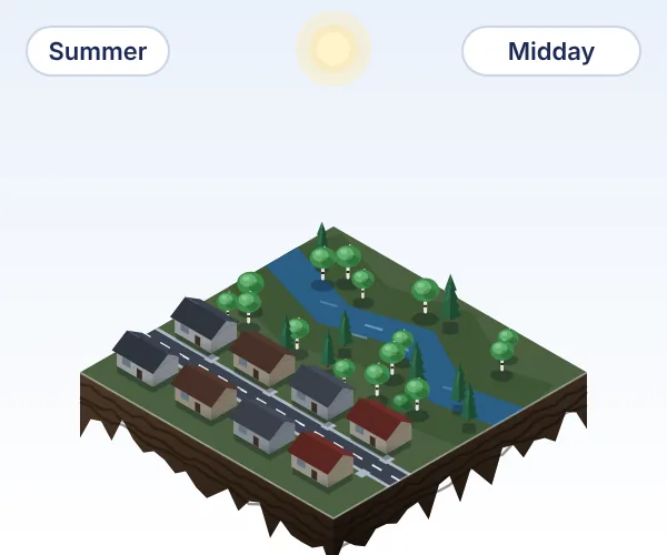
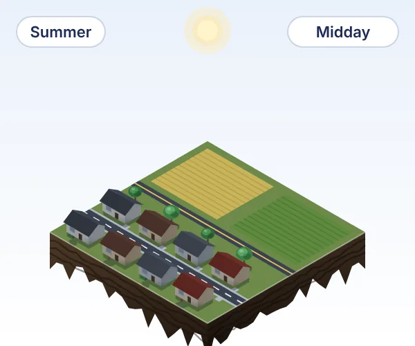
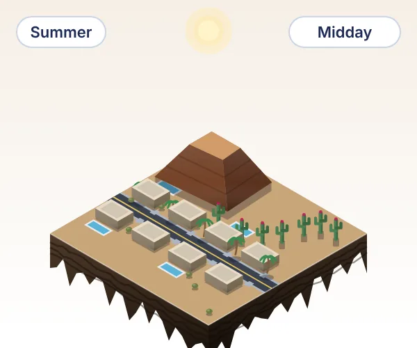
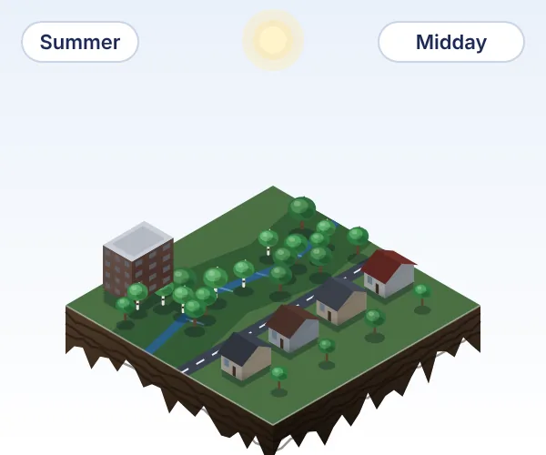
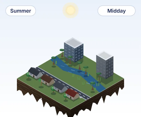
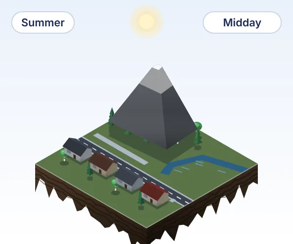
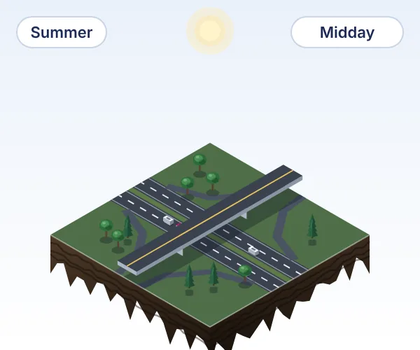
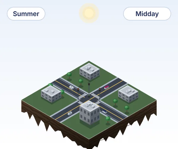
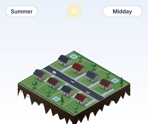
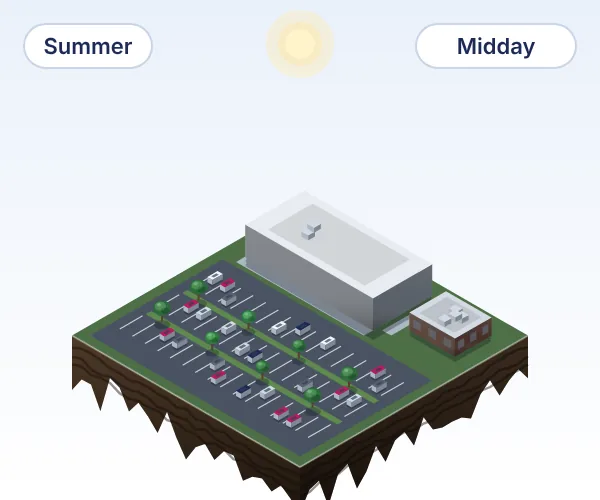
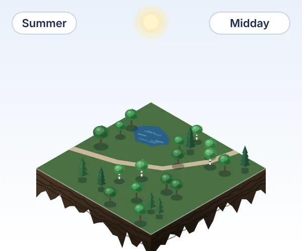
Unclear image rights can stall a launch, or force you to retrain from scratch.
Collecting the data yourself burns runway before training even starts.
Your best engineers spend time cleaning imagery instead of training models.
Top-down airplane and satellite imagery with limited sun angles isn't enough to complement streetview datasets.
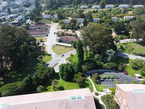
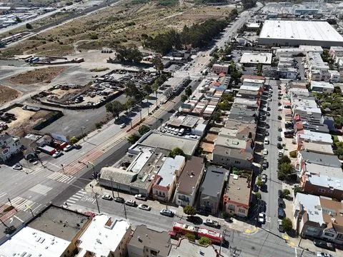
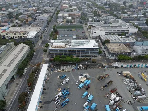
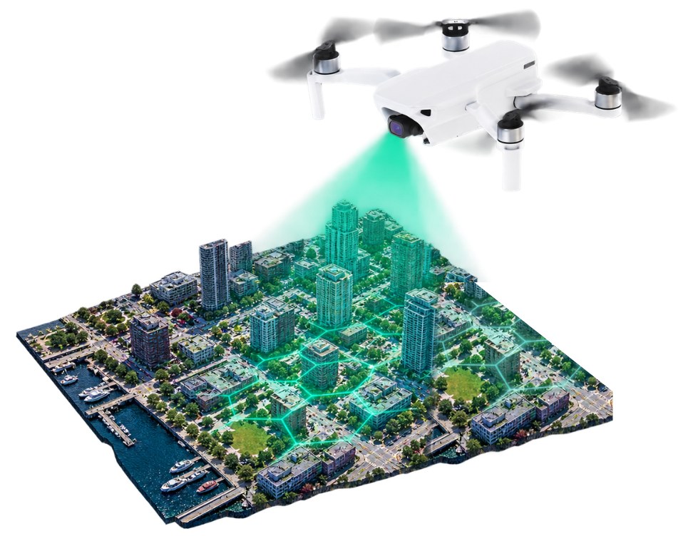
Spexi's drone archive data supports model training as one licensed, training-ready dataset of accurate, measurable imagery, with an aerial view of every city block in its coverage.
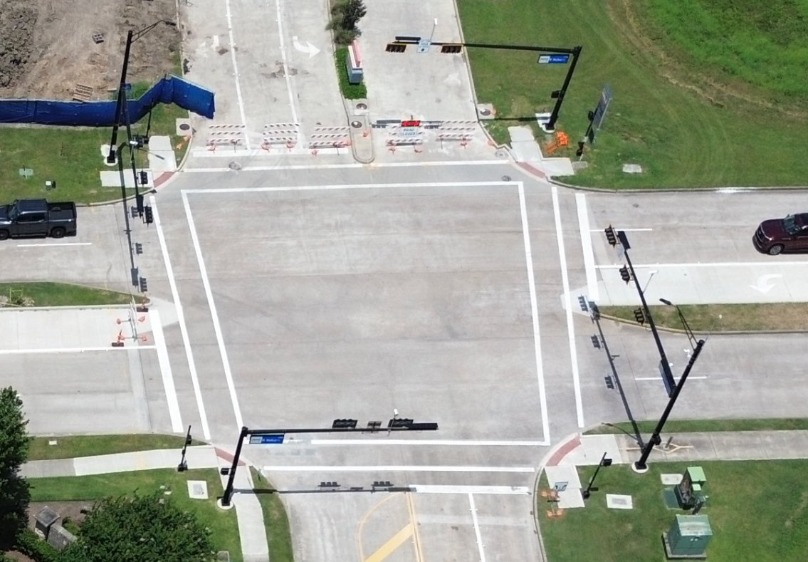
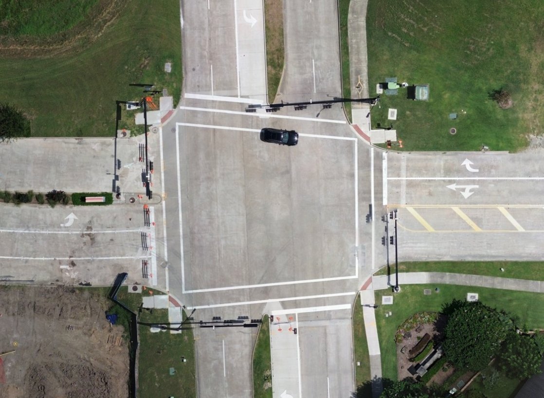
Add the aerial view of every covered city, from multiple angles and altitudes at 2.8 cm or sharper, to the ground-level data you already have.
License structured drone imagery from hundreds of cities, and put the runway you would spend on a fleet into the model.
Every image is captured to the same standard and carries the same metadata, so your team builds a training mix with queries instead of tedious sorting.
One licence covers every image, with rights to train models and deploy them commercially, so your legal team reviews a single contract instead of a pile of sources.
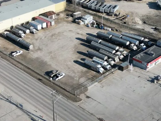
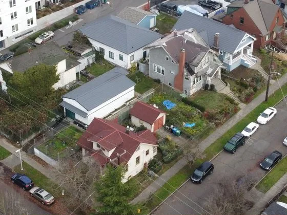
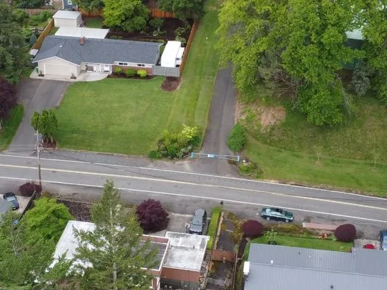
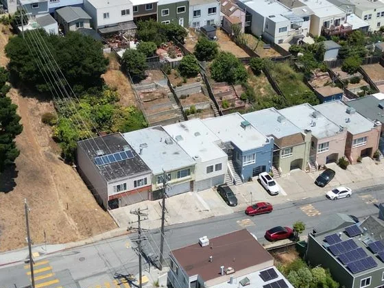
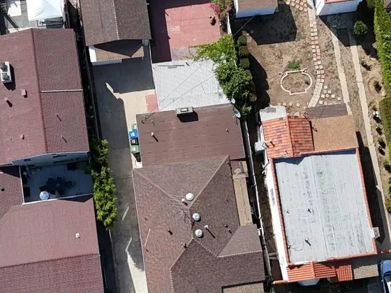
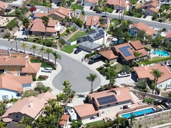
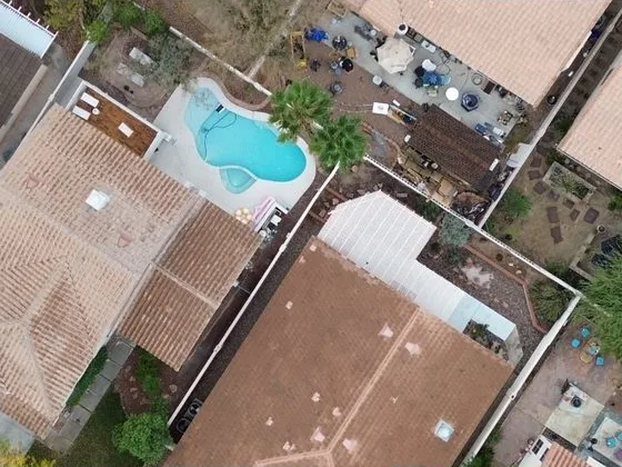
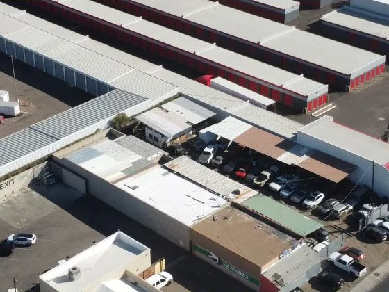
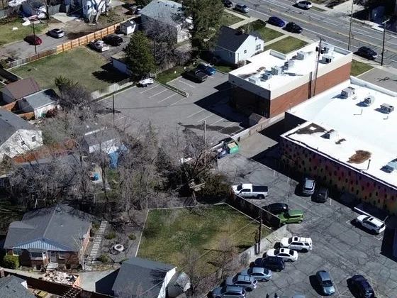
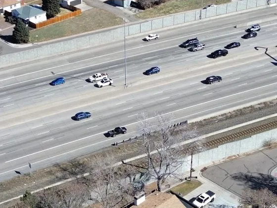
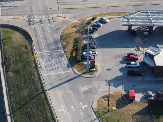
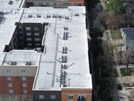
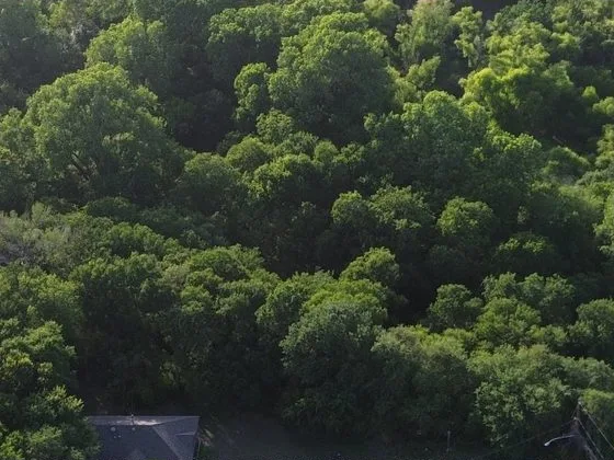
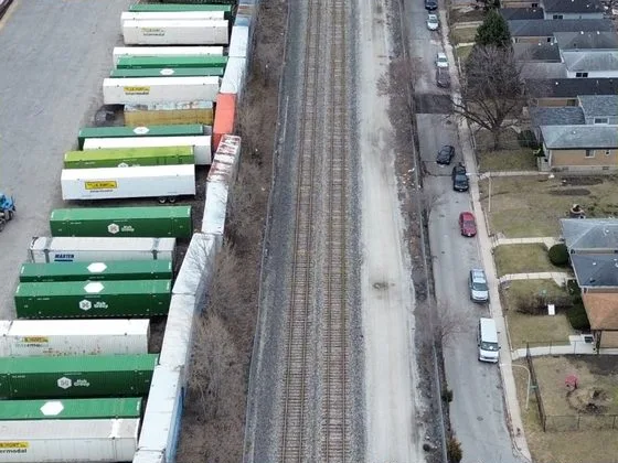
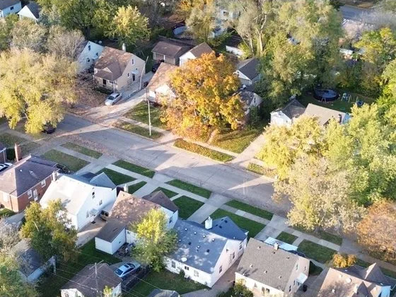
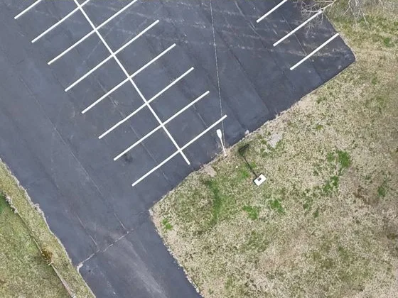
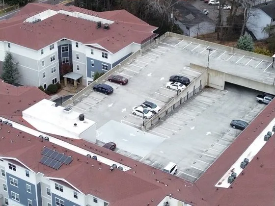
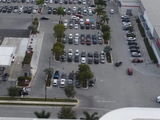
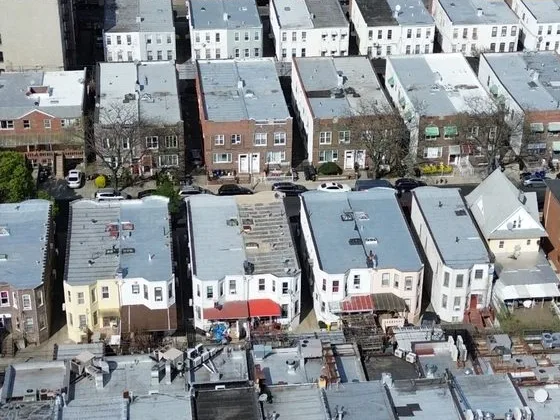
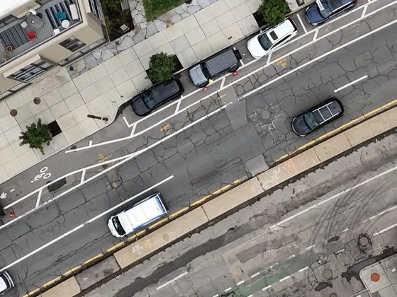
Spexi licenses the archive for training and commercial deployment with one simple contract structure.
The Spexi pilot network captures cities in standardized, automated flight plans. Each image enters the archive with its footprint, camera pose and timestamps, making it accurate to place, measurable and easy to filter to the scenes your model needs most.
Spexi Image API · Search images
GET /developer-api/api/v1/image
→ GeoJSON features: footprint, camera pose, capture time
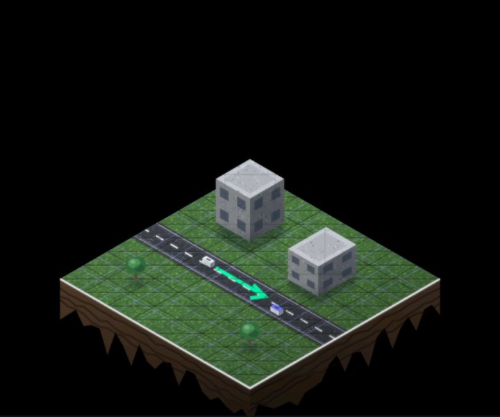
Intersections
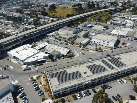

Generalizable 3D reconstruction
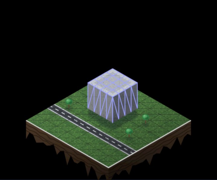
Multi-view geometry pre-training

Novel-view synthesis at scale
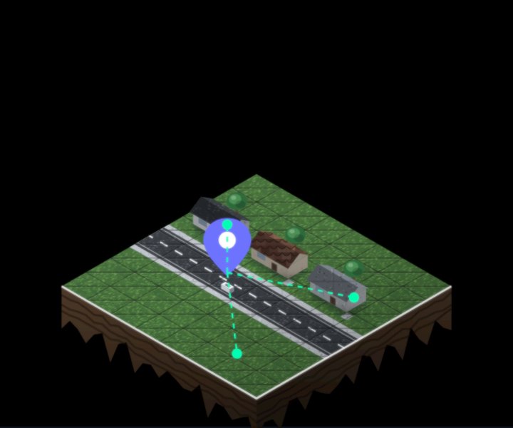
City-scale geolocalization

Aerial foundation models
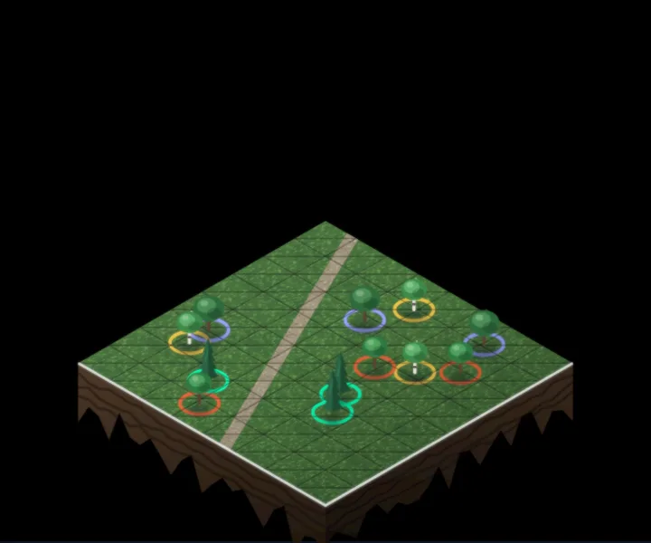
Robustness across regions
Cross-city generalization
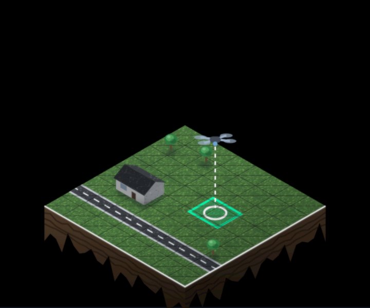
Long-tail object detection

New
Temporal and seasonal robustness
Sim-to-real benchmarking
Generalizable 3D reconstruction
Multi-view geometry pre-training
Novel-view synthesis at scale
City-scale geolocalization
Aerial foundation models
Robustness across regions
Cross-city generalization
Long-tail object detection
New
Temporal and seasonal robustness
Sim-to-real benchmarking
Images
Millions of images
and growing
Area
Millions of acres
and growing
Capture dates
2024 to today
Geography
Hundreds of U.S.
and Canadian cities.
Expanding globally.
Accurate, measurable static images at 2.8 cm or sharper.
Product
Static Images
(top-down, angled)
Resolution
2.8 cm (1.1 in) GSD
or sharper
Multi-view overlap
70%
Image density
Up to 3,050 images per km²
Metadata fields
Footprint polygon, capture type, heading, pitch, roll, altitude above ground, 2D camera position, capture and processing timestamps, tag, open attributes
Query
Filter on any field via metadata file
Delivery
Bulk transfer
File format
JPG

Your data rights
Train models on the archive and deploy them commercially for the term of your licence. Raw images may not be resold.
Exclusivity
Non-exclusive licence.
Chain of custody
Every capture is timestamped, geo-located, and verified. Each image also carries its processing timestamp, camera position, and footprint.
Privacy
Faces and licence plates are not identifiable at the archive’s resolution.
Flight operations
Flown by vetted local pilots following Transport Canada and FAA rules.
Data residency
US customers' data is stored in the US, while Canadian customers' data is stored in Canada.
Have a question about your model or your use case? Our team can walk you through the archive.
Millions of acres covering hundreds of cities across the U.S. and Canada, captured from 2024 to today. Contact Sales for the full city list.
Every image is 2.8 cm (1.1 in) ground sample distance (GSD) or sharper.
Footprint polygon, capture type, heading, pitch, roll, altitude above ground, 2D camera position, capture and processing timestamps, a tag and an open attributes field.
By bulk transfer.
Use them and deploy them commercially for the term of your licence.
Your models are yours to keep and use as you see fit.
No. The licence does not allow resale of the raw images.
No, it is non-exclusive.
Your license is scoped to the size of the image archive at the time of purchase. Amendments can be made as new imagery is added to the archive.
Faces and licence plates are not identifiable at the archive’s resolution.
Yes. Consult export control and legal advice as necessary.