Explore change in League City, Texas, in seconds.

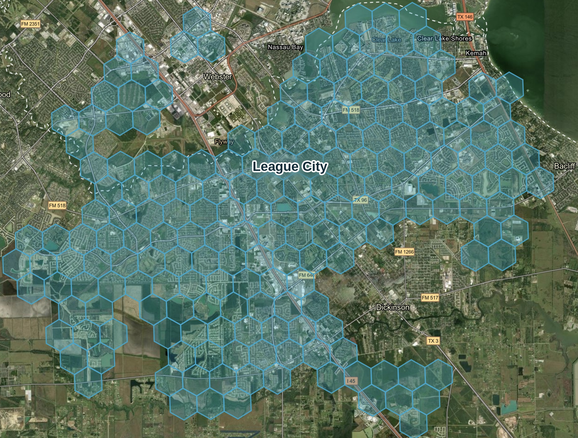
Over $1 billion in active development value tracked on a cadence you can count on. Captured by Spexi's drone network and ready for exploration.

See for yourself - no sales call or credit card required.

League City, Texas is one of the fastest-changing suburbs in the Houston metro.

Airplane imagery can't keep up.
$1 Billion+
in active development
3,000+
acres of land transformation
4,000+
homes in progress

That's why we use drones. Spexi flys lower, moves faster, and captures more frequently.

Recurring imagery captured from multiple angles, refreshed on a set schedule,
so your view is always up to date.

Thousands of drone pilots power Spexi data collection

Keeping imagery up to date for every location

Frequent, recurring captures

No scheduling required

Multi-angle views

Nothing hidden from sight

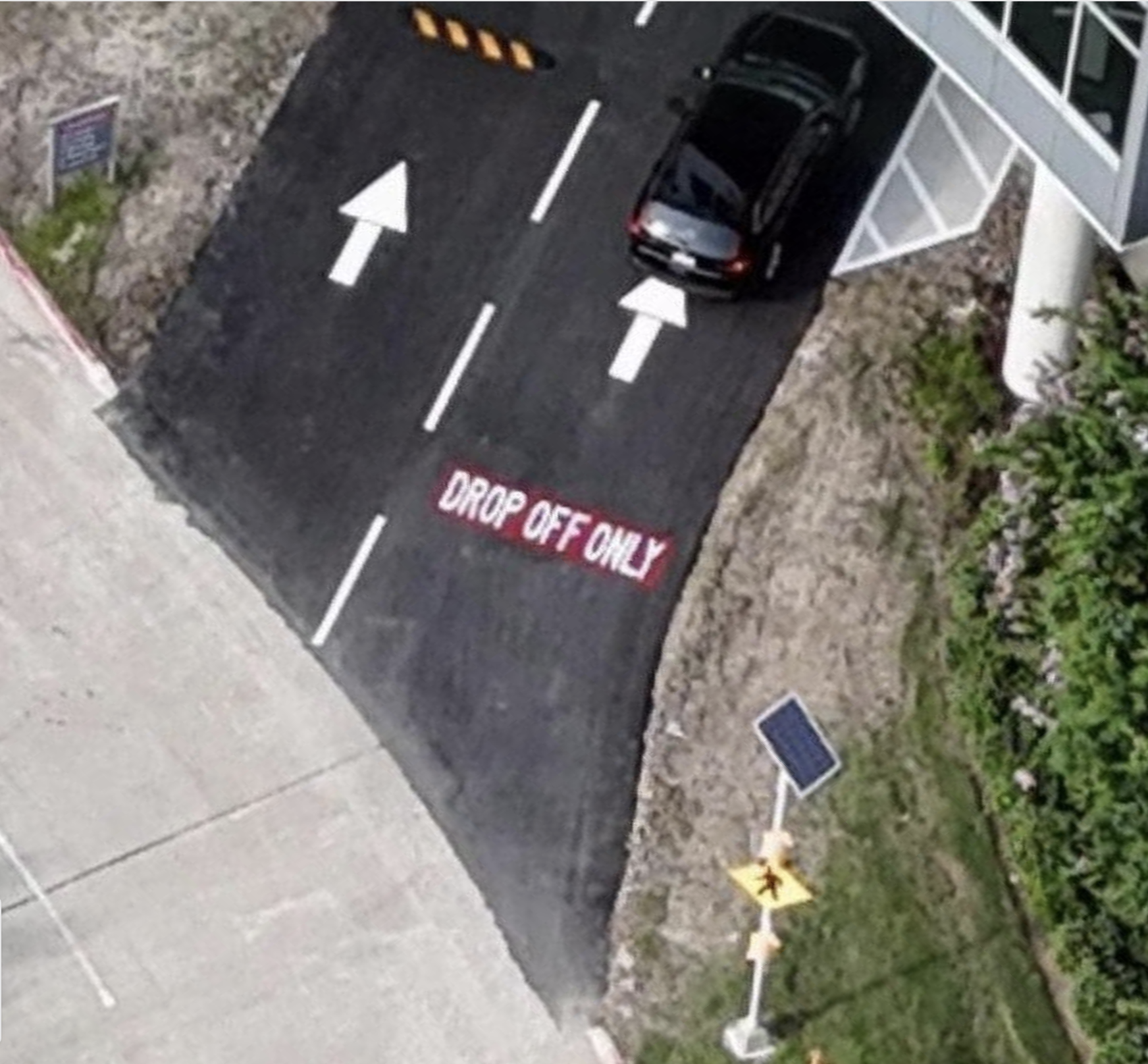
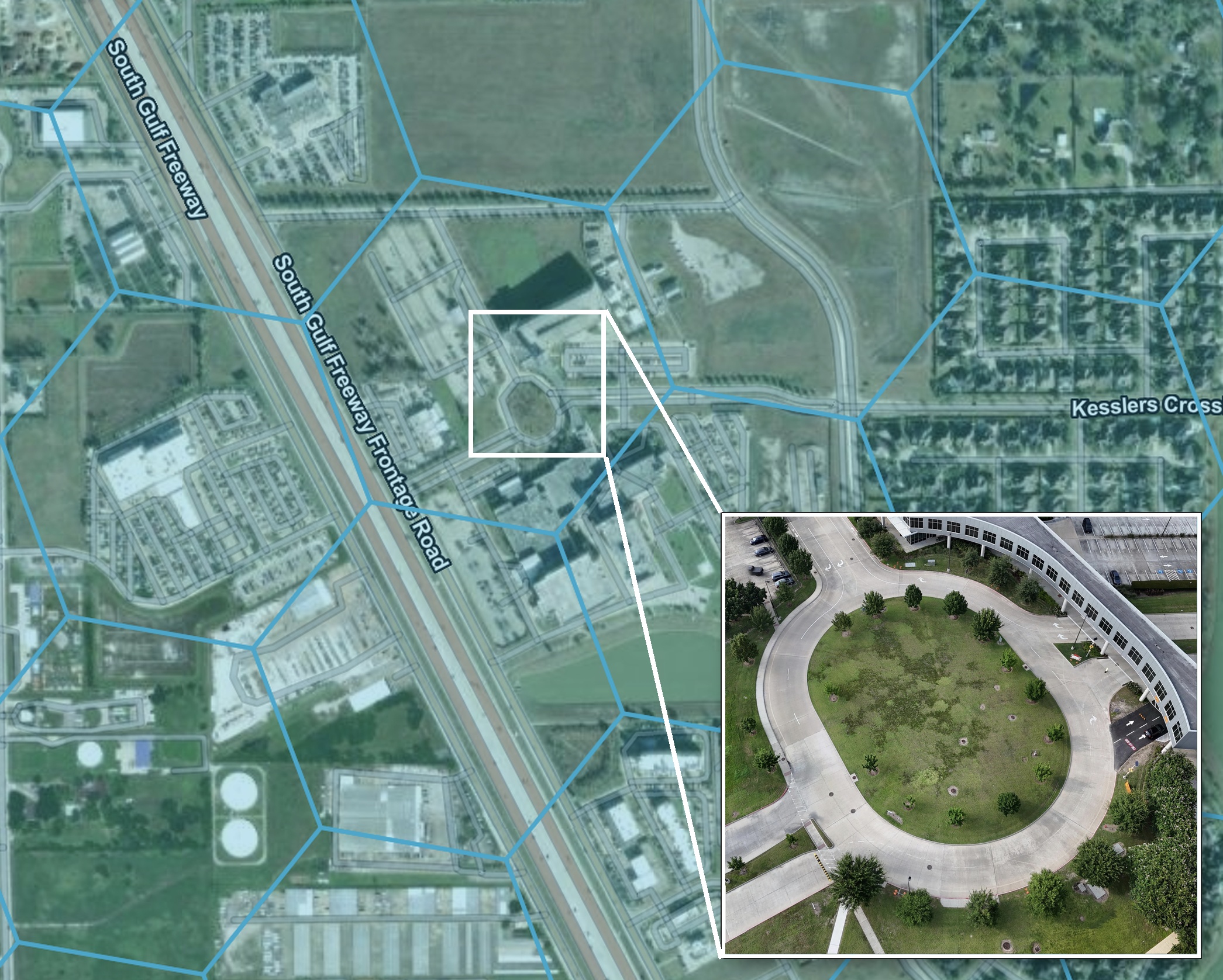
Drone-level detail

Low altitude, high resolution

Standardized

Ready to explore

League City is in motion

Leverage Spexi's demo to inspect real structures, compare detail, and understand what recurring captures could look like in your own geography.
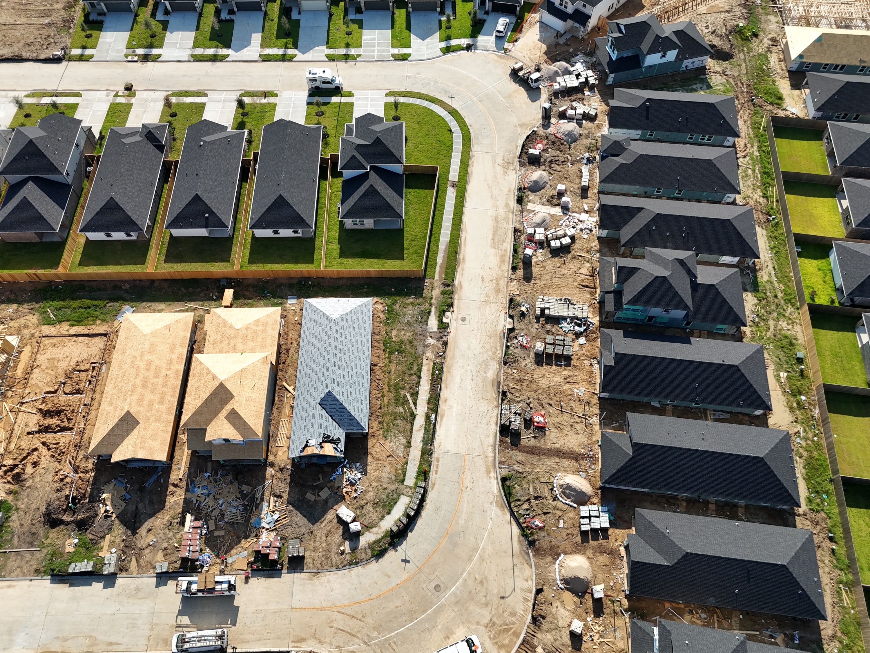
25,000+ acres
Imagery coverage
< 6 months
No image older
than 6 months
15+
Major
development projects

Westland Ranch Project

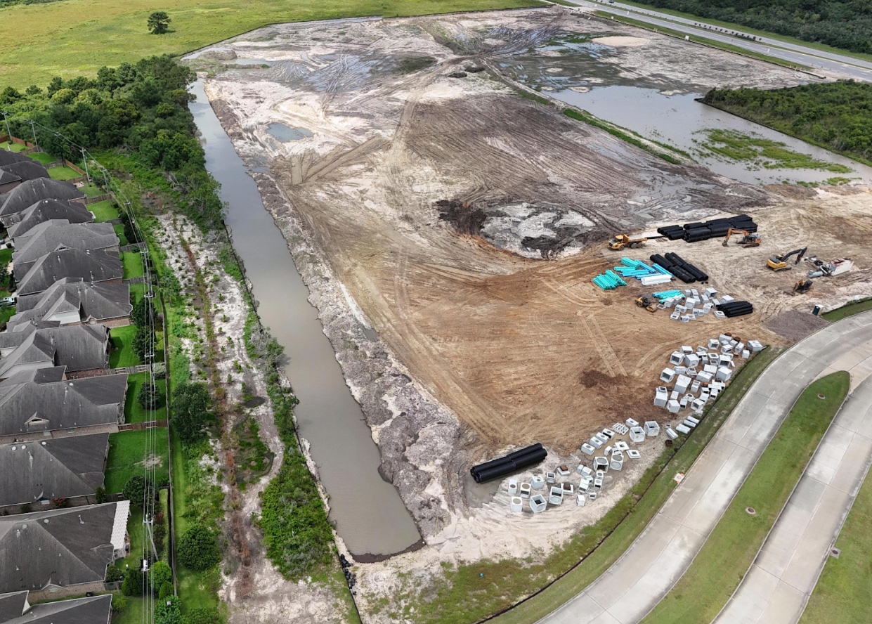
Watch three different builders develop the same 838-acre community at the same time.
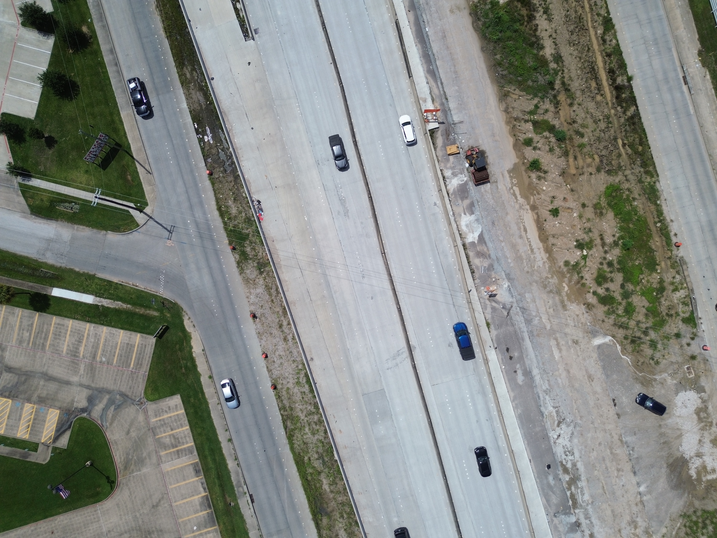
Hughes Rd Project

Watch a single developer turn 47 acres into 123 new homes.

Explore use cases

Take a tour to see how Spexi can help you
See what recurring, frequent capture could look like in your own geography.
Compare Spexi's current imagery against satellite, fixed-wing, or another provider.
Does the imagery provide decision-grade visibility for your business? Judge for yourself
No site visit, sales call, or credit card required.
Aerial view of an urban street intersection with yellow crosswalk lines and several parked cars beside multi-story buildings.

See League City for yourself.

Inspect the resolution. Compare the detail. Decide if recurring captures help your business.