
Plug Spexi into your data stack to fill gaps in ultra-high detail.
Captured by drones, delivered via API, and ready for machine learning pipelines.
Spexi leverages software and a global network of drone pilots to produce fully standardized and ultra-high resolution imagery products of Earth.

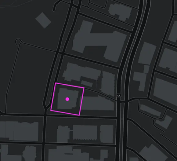

.webp)

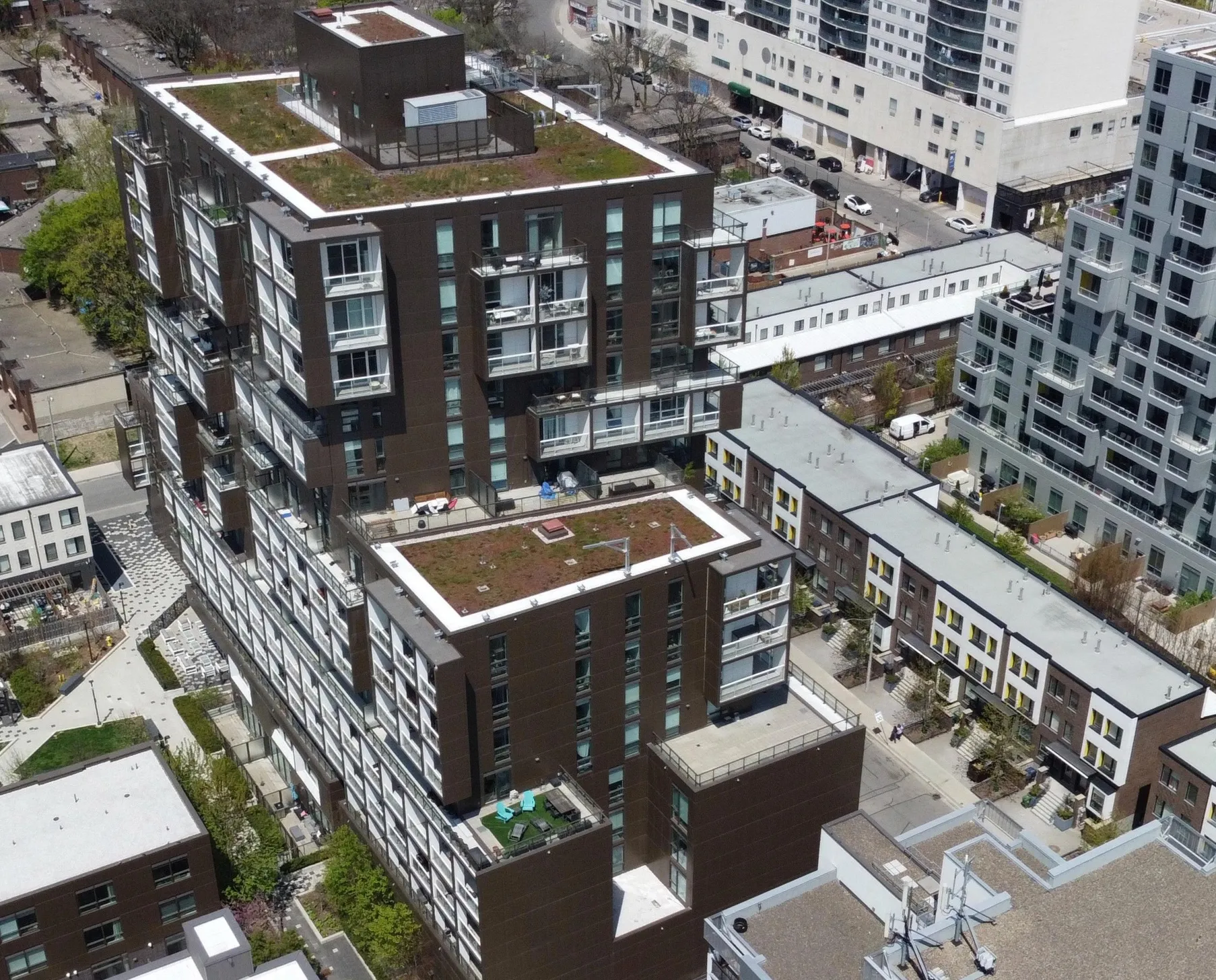
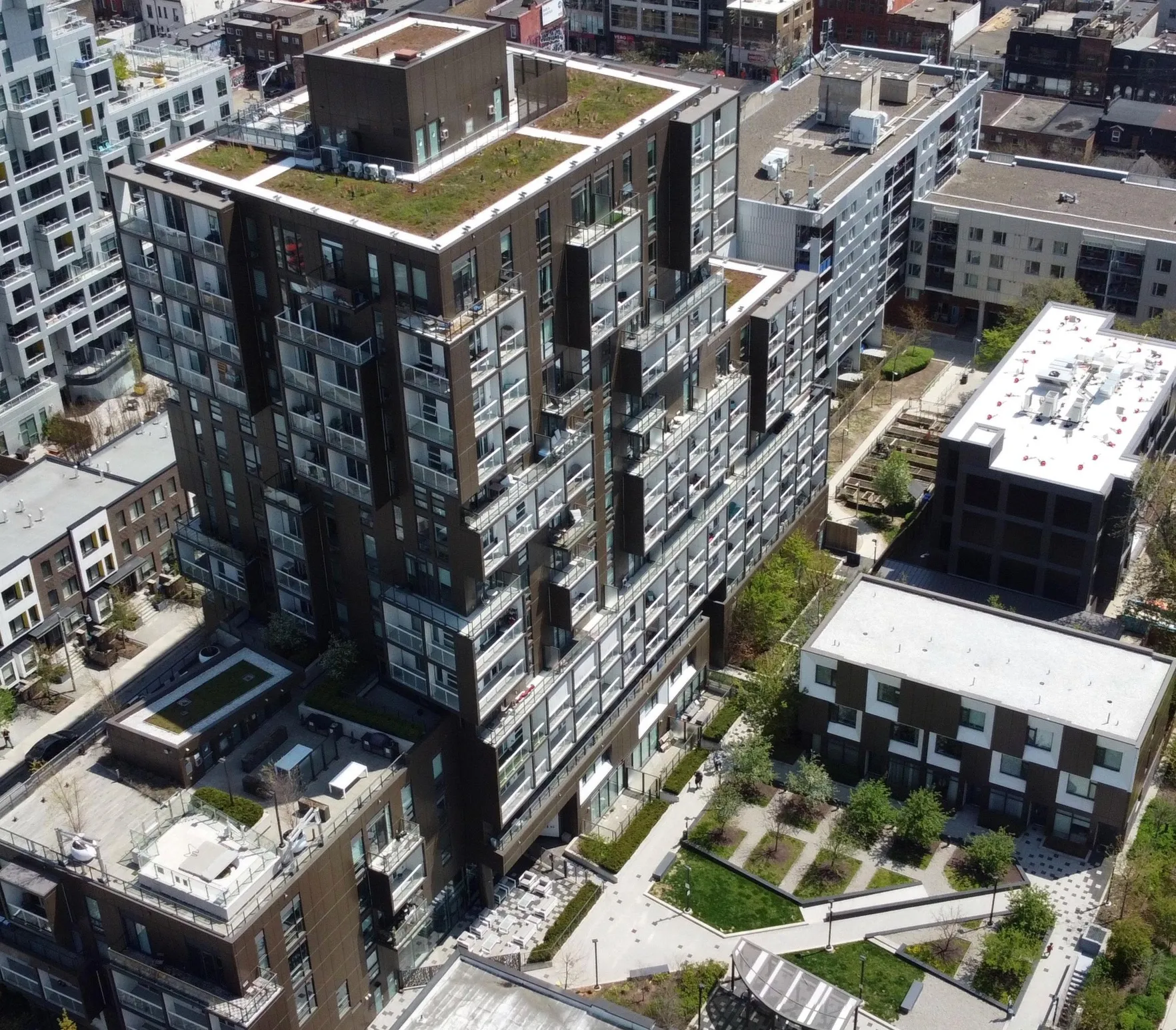
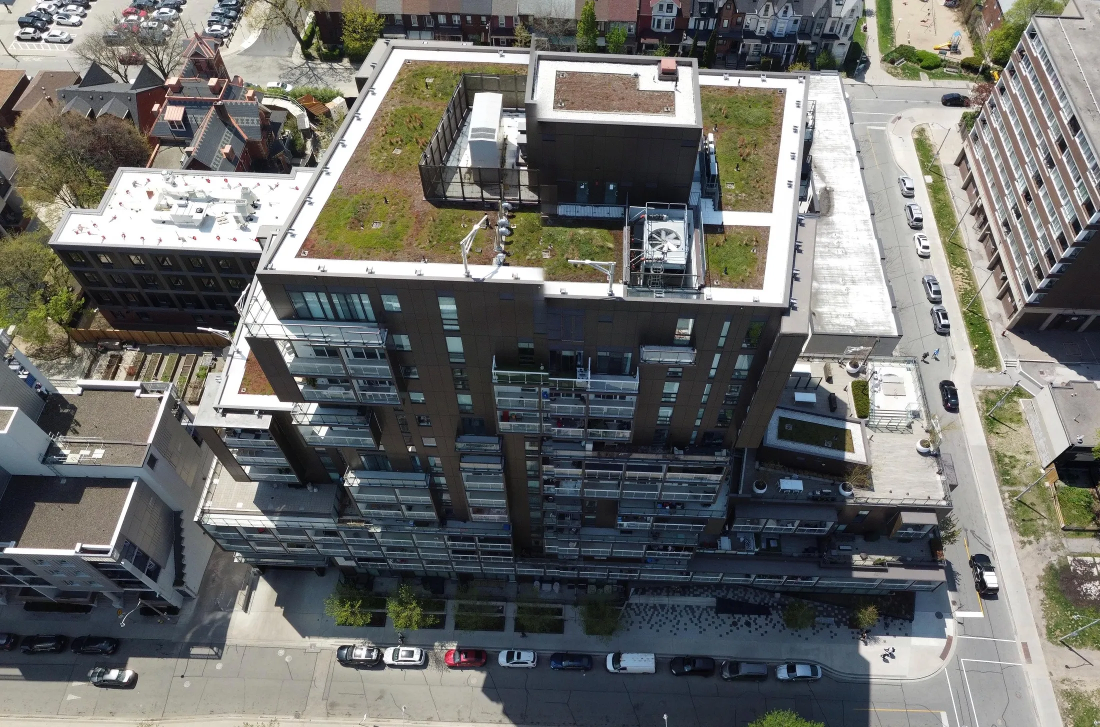
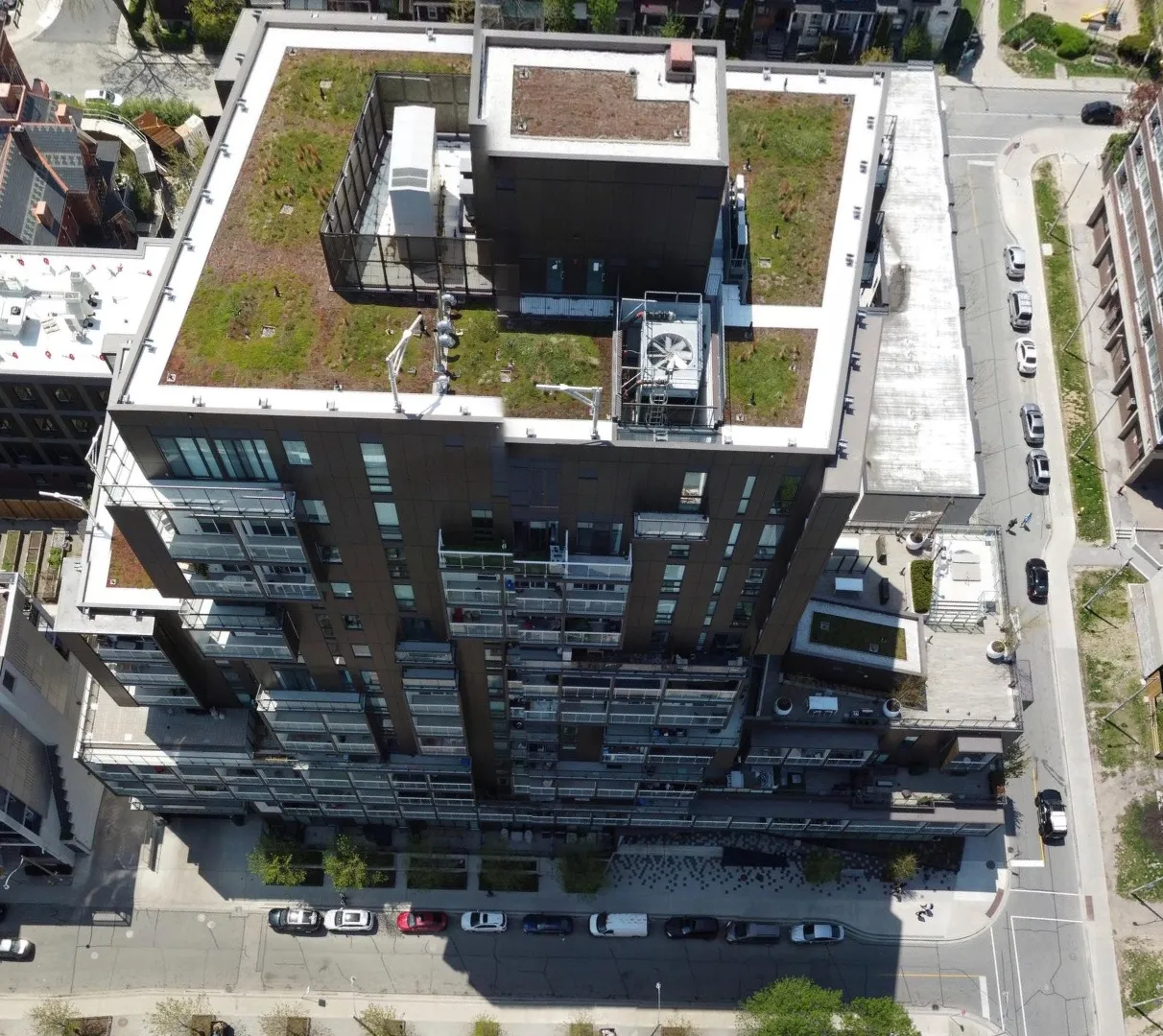
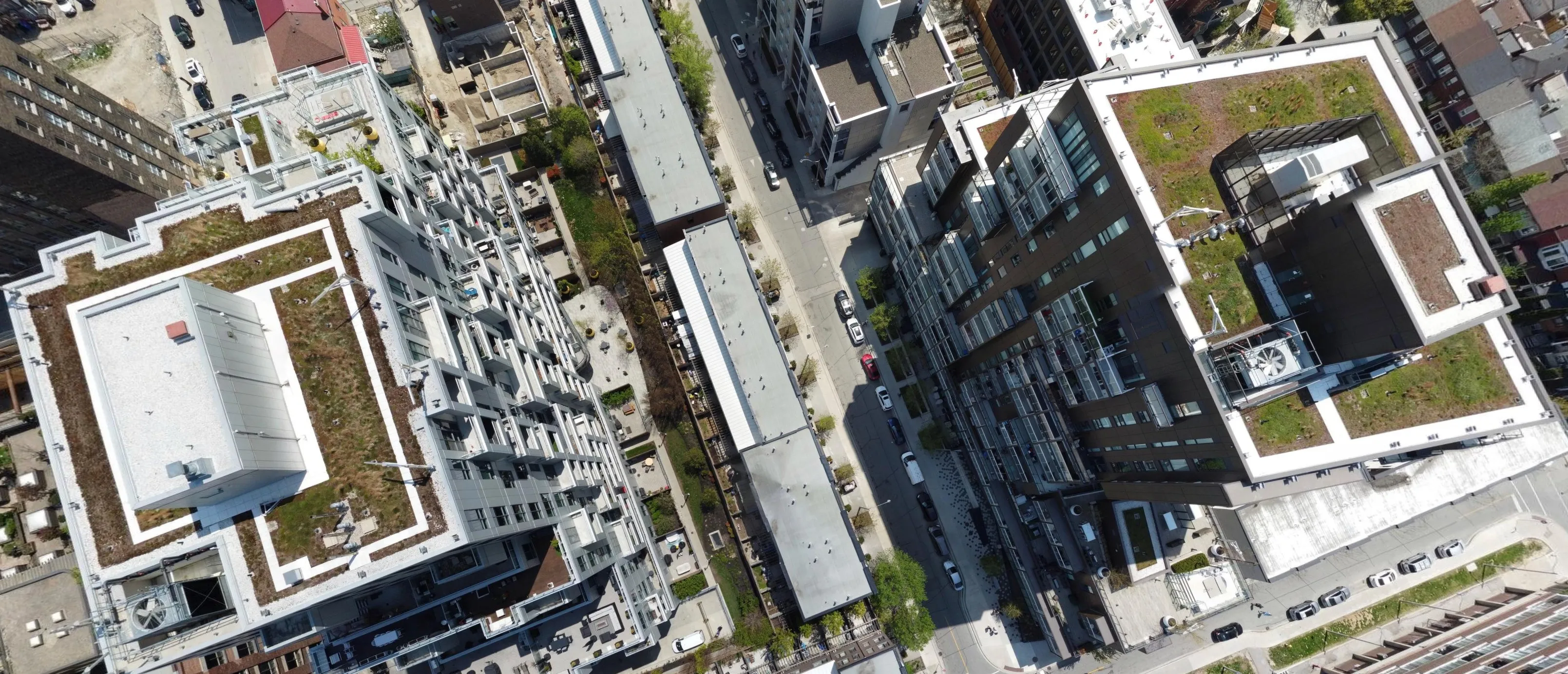
Spexi runs a distributed network of drone pilots ready to capture your city on demand.
Three steps from request to ready-to-use data.
Our distributed drone imagery network called LayerDrone captures high-resolution, standardized data where and when you need it—without the long refresh cycles of traditional imagery programs. Or access our growing archive of 6.5M+ acres of drone imagery.
Our distributed drone imagery network called LayerDrone captures high-resolution, standardized data where and when you need it—without the long refresh cycles of traditional imagery programs. Or access our growing archive of 6.5M+ acres of drone imagery.
Captured imagery is standardized into structured datasets and delivered via API, ready for training, validation, change detection, and digital twin systems.
.webp)
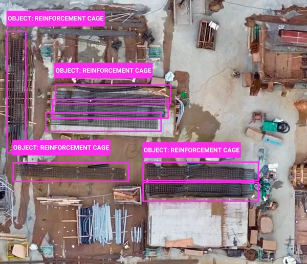
Use case: Street mapping, object classification
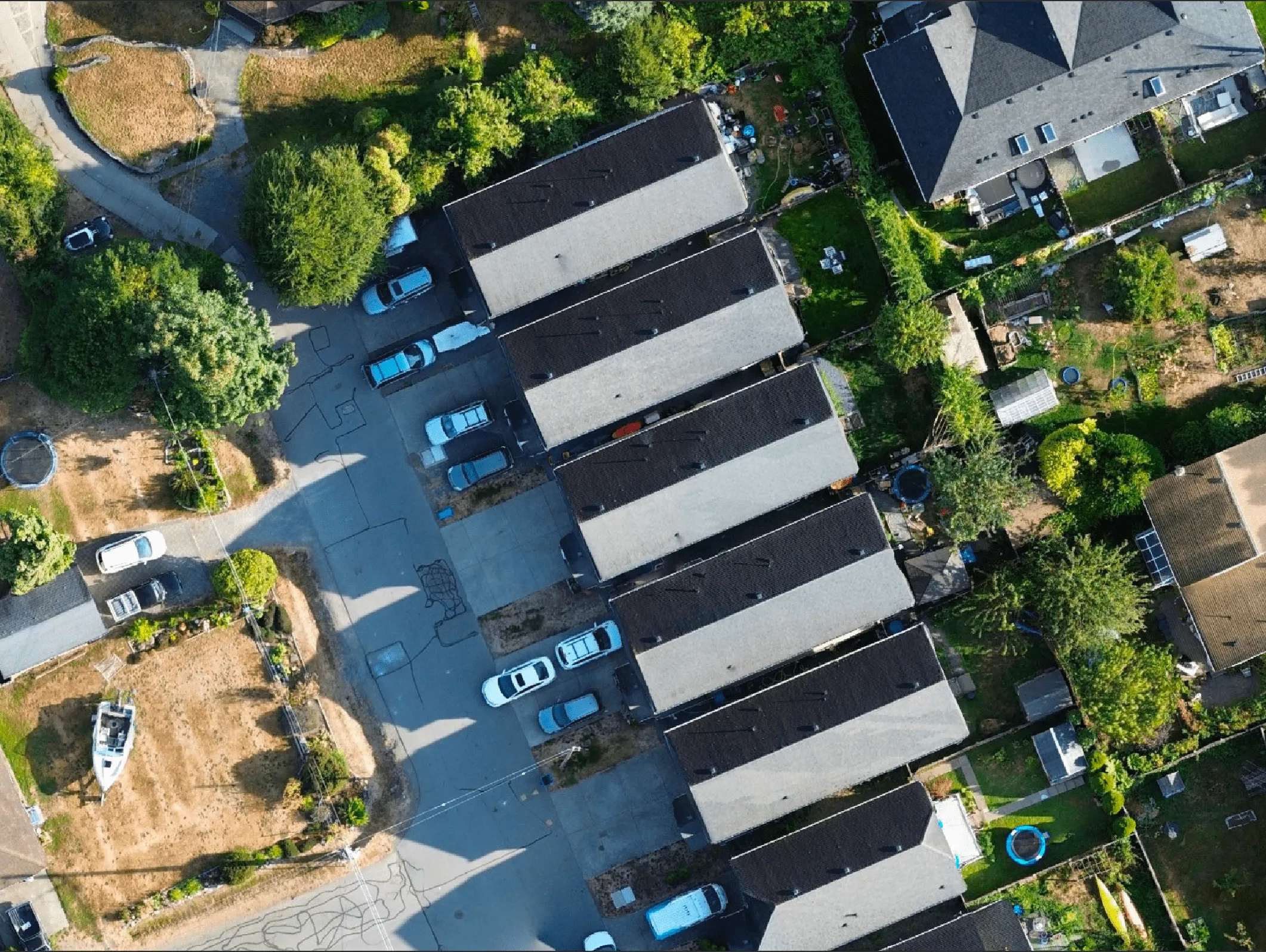
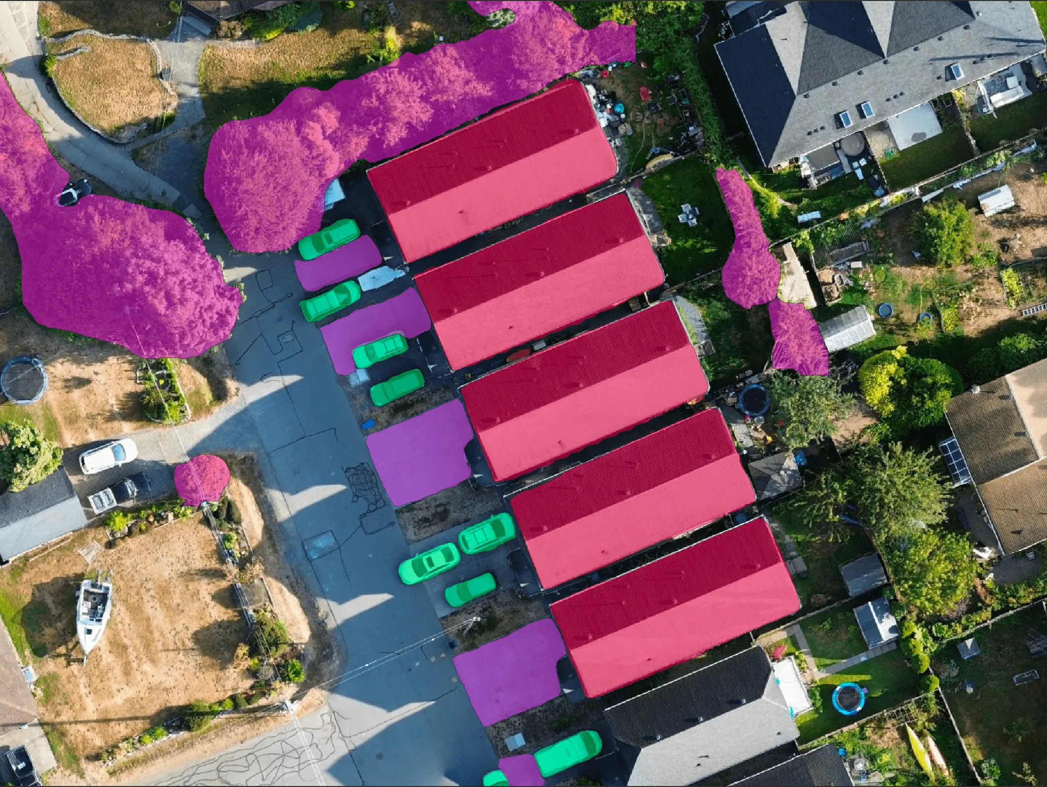
Use case: Roof damage detection, construction progress, land cover detection

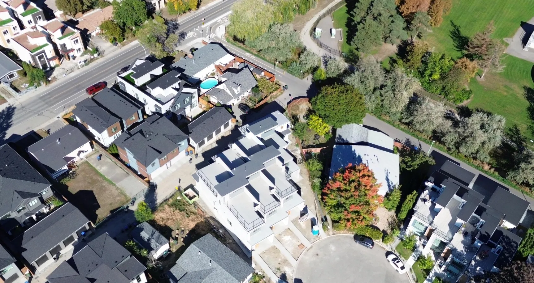
Use case: Post-disaster analysis, encroachment alerts


Use case: Infrastructure & urban modeling, autonomous navigation

Use case: AI model training (detection, mapping, risk assessment)
Power your models with the data they need
to perform at their best.