Why Wait Months for Data You Needed Yesterday?
Spexi is the only platform delivering standardized drone imagery at scale, faster, more affordable, with on-demand refreshes.
One insurer captured post-storm imagery across hundreds of properties in under 24 hours. See how your team can do the same, fill out the form to get started.


For Anyone Who Needs Clarity, Fast
Get standardized, ultra-high-resolution imagery with our drone-powered network. We deliver insight-rich images up to 1 cm resolution, ready for immediate analysis in your favorite GIS tools. Faster, smarter, and far more efficient than legacy options.


Faster Claims. Smarter Underwriting. Lower Costs.
Spexi taps into a network of drone pilots, each equipped to capture fresh aerial imagery. Our platform automates flight planning, data collection, and processing, so you get clear, detailed views on demand.
01. Spot Scans + Wide Coverage
Only pay for the data you need—whether it's a single site, a cluster of claims, or an entire storm path. Spexi makes aerial imagery coverage scalable and cost-effective.

02. Reinvesting in Your Local Economy
Spexi activates local, certified drone pilots—putting your aerial imagery budget back into your community and creating new opportunities where you live.

03. Fresh Data, Whenever You Need It
Request up-to-date aerial imagery as often as needed—so you’re always making decisions based on the most current data available.

Trusted by Insurers, Proven in the Field
Across the industry, Spexi helps insurance teams get high-resolution aerial data up to 200x faster, 50x more affordable, and with far less operational overhead—enabling quicker assessments and better customer outcomes.

"Using Spexi's imagery has reduced field visits, streamlined planning, and improved service delivery."

City of Kelowna

"Spexi was truly the only option."


"With Spexi, I can log in and immediately access fresh aerial data to help plan operations efficiently."

How Spexi Works
Spexi leverages software and a global network of drone pilots to produce fully standardized and ultra-high resolution imagery products of Earth.
Access Coverage Instantly
With current coverage in 200+ cities, the Spexi World Viewer product empowers you to seamlessly access high-resolution, on-demand aerial imagery.


Request Updated Data
Don’t see your area of interest? Simply request a data refresh and your request is instantly routed to our pilot network, with updated imagery typically available within 24 hours.

Get Your Data, Your Way
Access your imagery through the Spexi World Viewer, integrate via our APIs, or export into your own workflows using ESRI-compatible tools.
Technology That Scales With Your Portfolio
Get the aerial imagery you need, when you need it. Spexi delivers high-resolution aerial data in near real-time, enabling faster underwriting, quicker claims validation, and smarter risk decisions—giving insurers the intelligence to act with confidence.

Aerial Data Everyone Can Use, Instantly
Put the latest aerial data in the hands of every stakeholder. Spexi’s browser-based map viewer makes it easy for teams to access, review, and act.

Consistency You Can Trust, Across Every Flight
No matter who flies, standardized flight path and capture methods ensure reliable aerial data that delivers consistent imagery you can compare over time.

Deploy Drone Coverage in Hours, Not Weeks
Whether it's a flood, fire, or infrastructure failure, Spexi enables cities to request and receive up-to-date aerial imagery in hours or days, not weeks.

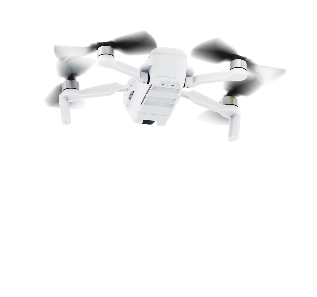
Built for Speed, Designed for Compliance
Pilots on the Spexi Network operate exclusively with sub-250g drones, allowing them to fly faster and with fewer regulatory hurdles. That means no lengthy approvals, less red tape, and quicker access to the imagery you need.
The Future
How Spexi Helps Insurers Innovate
Smarter and Faster Underwriting
Evaluate property condition, surrounding risk factors, and change over time—using high-resolution aerial imagery that’s current, consistent, and ready before you bind.

Faster CAT response
Get fresh aerial views of impacted areas within hours—not days—so you can validate claims, allocate adjusters, and manage volume with confidence.

Portfolio Management
Easily compare new imagery with previous captures to track condition changes and environmental risks without the cost or delay of in-person inspections.


