.png)
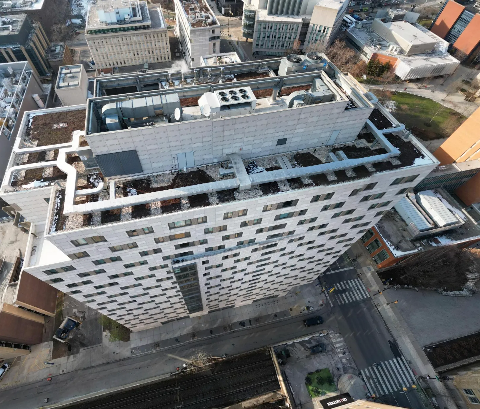
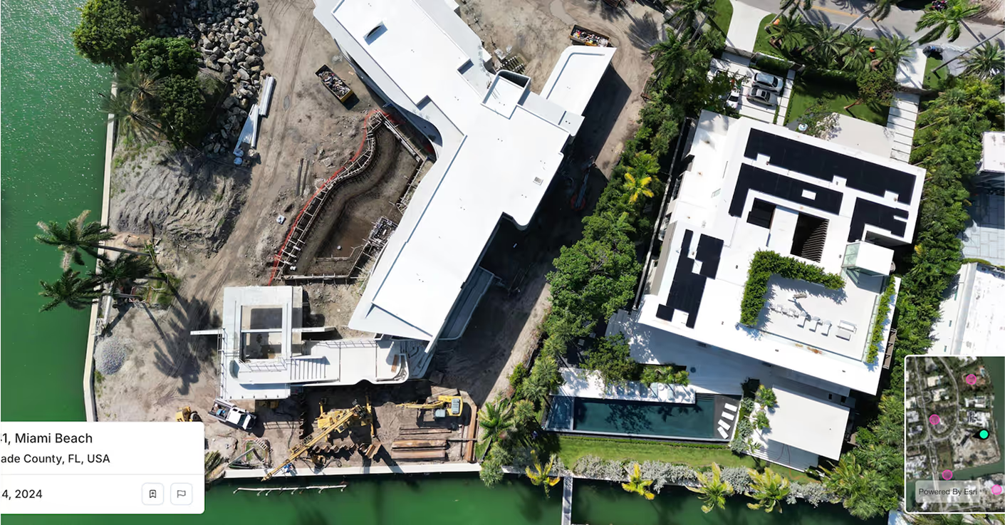
Spexi is the largest standardized drone imagery platform, delivering sub‑3 cm obliques and orthomosaics built for high-performance risk modeling. Give your models a new layer of clarity—captured low, refreshed fast, and API-ready.
Spexi supplies sub‑3 cm drone imagery so Zproperty's models work with the most current, real-world data—true roof geometry, real material condition, and visible aging patterns. Fewer guess-calls, better confidence in every decision.
Spexi’s ultra-high-resolution aerial data helped the City of Kelowna manage Wildfire damage with surety & precision. That same clarity powers more accurate FIRE™ Community-levelScore & Z-FIRE™ Property-levelScore: capturing the detail that lower-resolution imagery misses.
Zorro Discover’s intelligent query system depends on reliable visual input. Spexi delivers current, clean, and crystal-clear imagery with frequent, on-demand refreshes, so when users ask complex, multi-step questions, the model always works with the latest view of the world.
Spexi is trusted by leading insurance companies, disaster response teams, and real estate professionals who depend on fast, verifiable, and scalable imagery for high-stakes decisions.
.gif)

Standard Image API — Starting at $299 / month. Deliver high-resolution oblique imagery directly into Zesty's modeling pipeline. Structured, scalable, and designed for production environments.

A secure, browser-based viewer for autonomy engineers and analysts to inspect, compare, and validate mission areas. Ideal for reviewing terrain features, change detection zones, and test environments before deployment.
Geo-accurate stitched imagery and terrain datasets across AOIs. Perfect for high-volume property analysis, modeling, and underwriting support.
When the cost of being wrong is high, your models need sharper input. Spexi gives Zesty AI the clearest imagery layer on the planet.