
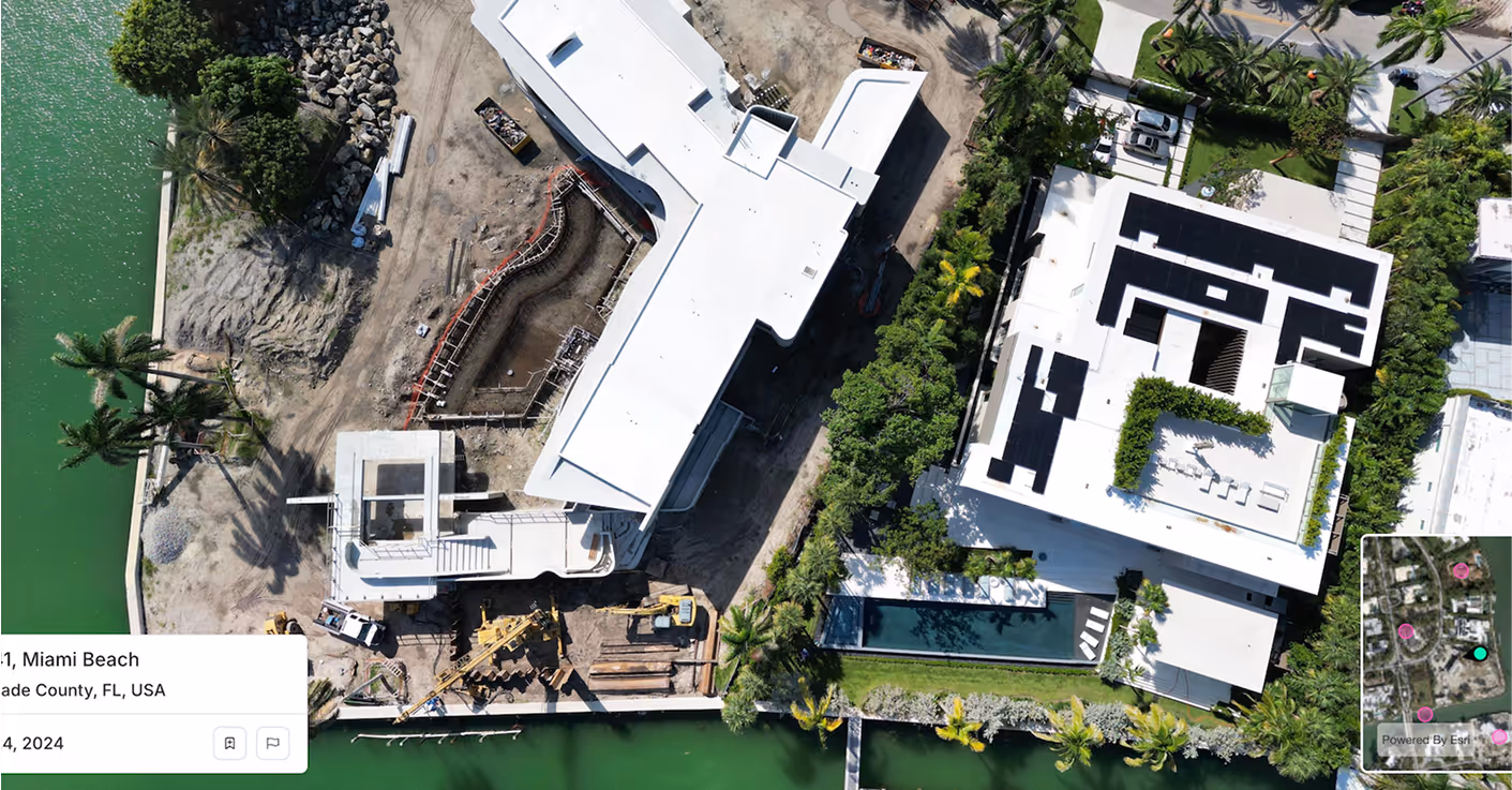
Spexi keeps your base data ultra-fresh; with standardized, sub‑3 cm aerial imagery and on-demand refreshes that reflect real site conditions. Build custom layouts, assess costs, and show clients multiple options. All grounded in visual truth.
Spexi feeds Site Solver with sub‑3 cm resolution, standardized drone imagery and terrain models, turning what might be "assumed" land into verified, build‑ready sites. With accurate ground context, you unleash Site Solver’s generative design engine confidently.
Urban Planner thrives on speed and iteration. Spexi’s refreshable aerial datasets ensure the tool isn’t drafting on stale aerials. Instead, you’re working with up‑to‑date visuals of parcels, roads, vegetation and grades, enabling you to design streets, blocks, parking and public spaces that reflect what’s there now, not what used to be.
Data Maps layers zoning, environmental, and site‑constraint data. Spexi enhances this by providing high‑fidelity imagery matching those data layers, giving you a verifiable baseline for exclusion zones, cut/fill modelling, drainage shifts and site access. The result: you reduce surprises, strengthen your pro formas, and present clients with data‑backed certainty.
.gif)

Integrate standardized, high-resolution aerial imagery directly into TestFit or your own GIS tools. Perfect for dev teams and technical users.

View panoramas and obliques right in your browser. Ideal for non-technical stakeholders who just need to visualize and compare sites.
Get stitch-accurate, georeferenced orthomosaics and elevation data for your TestFit models. Great for engineering, grading, and civil workflows.
Join leading developers and engineers who trust Spexi to keep their site data current — and their TestFit models accurate.