X
spexi logo

Fuel Farsight with the Clearest Low-Altitude Intelligence

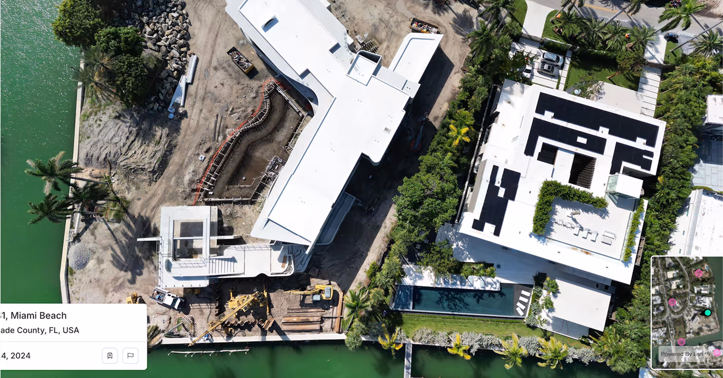
Spexi delivers ultra-high-resolution obliques and orthomosaics that bring fresh, verifiable aerial data into Farsight’s tactical mapping pipeline. While Maxar provides the strategic view, Spexi gives you the local clarity needed to plan, move, and strike with confidence.

Reveal TechReveal Tech
Satellite Imagery
Spexi Imagery

Spexi + Farsight: Tactical Edge, Sharpened

Icon

Improve Line-of-Sight Analysis with Sub-3cm Imagery

Spexi imagery feeds Farsight with pinpoint terrain visuals so teams can assess cover, exposure, and movement lines with far greater accuracy. Shorter pixel gaps. Smoother contours. True geometry. What your team sees is what’s on the ground.

Icon

Smarter AI Route Planning with On-Demand Refreshes

Spexi captures obliques with sub-3cm resolution that reflect the current state of roads, rooftops, and obstacles. Farsight’s route suggestions become more accurate, more adaptive, and less likely to surprise operators with a wall that wasn’t there last week.

Icon

Razor Sharp Precision for Terrain Analysis

From slope angles to building heights, Spexi’s ultra-detailed orthomosaics make measurement tools inside Farsight more precise and reliable. No second-guessing elevation lines. Just clean, current data, ready for mission planning.

Why Spexi Works Seamlessly with Your Maxar Integration

You already use Maxar. Good. Keep it. Maxar gives Farsight global coverage with strategic-grade terrain basemaps. Spexi picks up where satellites fall short, i.e. ultra-fresh, low-altitude detail over your actual AOI. We fly below cloud cover, capture detail satellites miss, and deliver it in usable formats. Fly on-demand missions over current zones Get change detection that reflects this week, not last quarter Feed real-world data into simulations and mission rehearsal

100,000+ successful missions
10+ million aerial images
200x faster than traditional surveys
50x more cost-effective

Delivery Options for Reveal Technology

Standard Image API: Starting at $299 / month

Pipe high-resolution obliques straight into your Farsight workflows. Fast, structured, and easy to scale across operations.

Detailed aerial photo for smarter  decisions with Spexi

World Viewer

A secure browser-based tool to inspect, compare, and verify imagery. Perfect for analysts and mission planners who need visual confirmation before deployment.

Orthomosaics

Get accurate stitched imagery and aerial data for your AOI. Ideal for digital elevation mapping, route analysis, and simulation-to-reality alignment inside Farsight.

Keep Farsight Accurate as the Mission Changes

Farsight is only as sharp as the data you feed it. Spexi gives it the clearest, freshest visual intelligence available, i.e. no clouds, no lag, no guesswork.