X
spexi logo

Boost Quantarium’s Data Lake with the Sharpest Imagery in the Sky
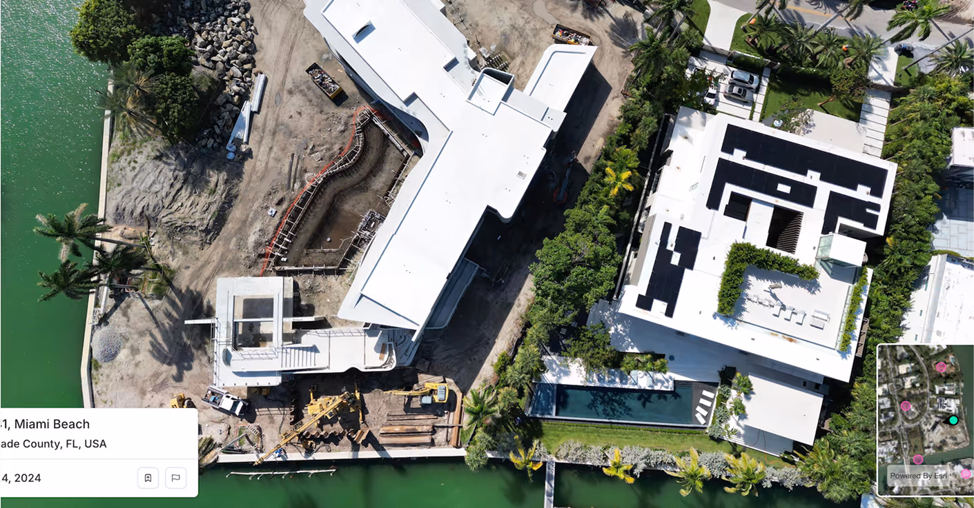
Turn Quantarium’s AVM into the Most Visually Intelligent Platform in Real Estate. Spexi upgrades your imagery layer with ultra-high-resolution,obliques & orthomosaics parcel by parcel: platform-wide

QuantariumQuantarium
Satellite Imagery
Spexi Imagery

How Spexi Elevates Quantarium’s Core Platforms

Icon

TerraPlot

TerraPlot™ powers interactive mapping for 100M+ parcels with advanced spatial indexing and rich property attributes. Spexi takes it further by delivering sub‑3 cm drone imagery that standardizes city‑wide capture and slashes margin of error.

No cloud cover. No outdated tiles. Just ultra‑current, weather‑proof visuals that are captured 50× more cost‑effectively and refreshable on demand. With Spexi, TerraPlot™ becomes a visual + data powerhouse. Not just an analytic interface.

Icon

QEdge™

QEdge is redefining property valuation with data science and LLM-driven insights. Spexi brings the missing layer: ultra-high-resolution imagery, ready to plug directly into your workflow via our Standard Image API.

No guessing from outdated images. Spexi imagery updates within days, creating audit-grade traceability that strengthens confidence for lenders, regulators, and investors.

Icon

TerraLook™

Spexi powers TerraLook’s continuous learning with the clearest imagery on the market — enabling more accurate detection and classification of damage, features, and environmental changes.

From roofs and walls to solar panels and terrain, Spexi’s sub‑3 cm resolution gives your models the edge hence reducing classification errors and accelerating performance at scale.

Feed your AI the clarity it deserves.

Quietly Powering the Best in the Business

Spexi is trusted by leading governments, disaster response teams, and real estate professionals who need fast, verifiable, and sustainable imagery.

100,000+ successful missions
10+ million aerial images
200x faster than traditional surveys
50x more cost-effective

Solutions That Fit Your Product, Seamlessly

Standard Image API

Integrate high-resolution oblique imagery directly into Quantarium’s data infrastructure. Reliable, fast, and designed for enterprise scaling.

Detailed aerial photo for smarter  decisions with Spexi

Spexi World Viewer

A browser-based viewer for panoramas & obliques- ideal for teams who need to inspect, compare, and validate properties visually.

Orthomosaic Imagery

Geo-accurate stitched imagery and terrain datasets for nationwide property coverage. Perfect for high-volume mapping and automated appraisal workflows.

Build Property Intelligence That Reflects Reality

Bring visual clarity to every parcel, polygon, and property record. Quantarium’s analytics deserve the sharpest possible view of the real world.