X
spexi logo

Power Parallel Domain’s Synthetic Worlds With Real-World Clarity

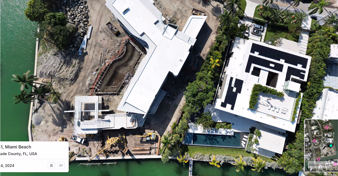
Feed your simulation engine with ultra-high-resolution aerial data. Spexi gives Parallel Domain the visual fidelity needed to build, test, and validate synthetic data at scale, unlocking richer scenario generation and broader training coverage across edge cases.

Parallel DomainParallel Domain
Satellite Imagery
Spexi Imagery

How Spexi Elevates Parallel Domain’s Core Products

Icon

PD Replica- Ground Truth for Realism

Spexi provides precise, fresh, high-resolution imagery that improves reconstruction accuracy and gives Replica richer textures, cleaner surface detail and better environmental context. That means stronger validation loops and tighter sim-to-real fidelity.

Icon

Data Lab

Spexi anchors that diversity with real-world spatial intelligence. Our standardized imagery gives Parallel Domain a consistent baseline that improves domain randomization, calibration and downstream model accuracy when synthetic data and real data are mixed.

Icon

Autonomy & Robotics Workflows

Spexi captures the real-world conditions those models must ultimately operate in. Accurate lighting, micro-terrain, object clutter and environmental change help reduce model drift and tighten the “reality gap” across perception stacks.

Quietly Powering the Best in the Business

Spexi is trusted by leading governments, disaster response teams, and real estate professionals who need fast, verifiable, and sustainable imagery.

100,000+ successful missions
10+ million aerial images
200x faster than traditional surveys
50x more cost-effective

Delivery Options for Parallel Domain

Standard Image API, Starting at $299/month

Stream high-resolution oblique imagery directly into your platform. Fast, reliable and built for scale so your simulation and training pipelines always have clean, current inputs.

Detailed aerial photo for smarter  decisions with Spexi

World Viewer

A browser-based experience for panoramas and obliques. Ideal for teams validating scenes, comparing capture cycles and reviewing ground truth conditions before synthetic variants are created.

Orthomosaic Imagery Solutions

Geo-accurate stitched datasets for large areas. Perfect for grounding digital twins, calibrating simulation environments and improving model performance with real-world reference layers.

Build Synthetic Worlds That Start With Reality

Your synthetic worlds deserve sharper, fresher and more accurate real-world context. Power sim-to-real performance with imagery that keeps pace with model training cycles.