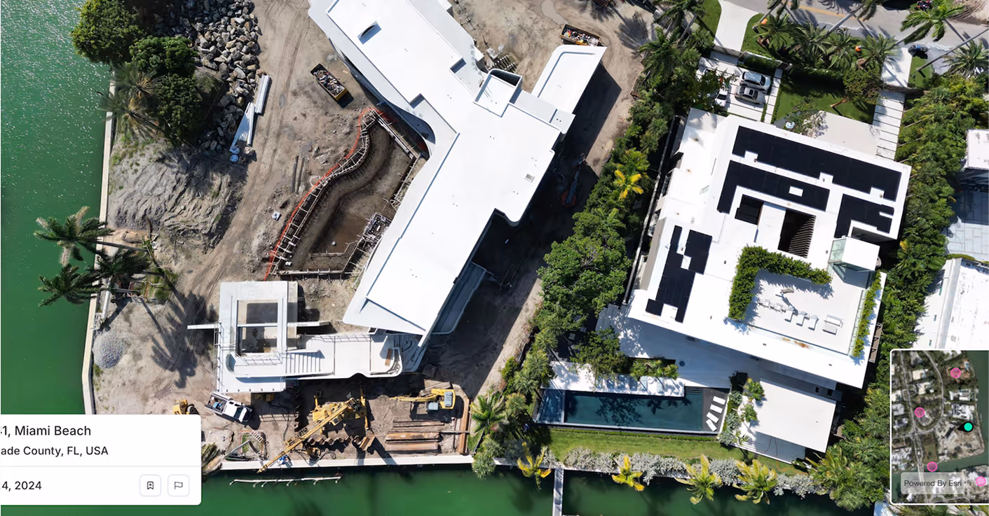
Spexi captures clear, scalable visuals that plug directly into Origami’s platform. Fast turnaround, flexible coverage, and seamless delivery across APIs, viewers, and spatial datasets.
Spexi helps teams validate claims faster with sub-3cm imagery that reveals roof damage, missing shingles, and other details traditional sources miss. Clear, current visuals support faster decisions, reduce fraud risk, and add defensibility to every claim file.
Track job sites without setting foot on site. Spexi captures ultra-local, standardized imagery that helps construction teams monitor safety, document progress, and support compliance without delays or extra visits.
Get hyper-local, on-demand visual intelligence for inspections, infrastructure audits, and incident response. Spexi’s pinpoint coverage lets you capture only what you need, whether it’s a street, a block, or an entire city zone, and plug it directly into existing workflows.
Spexi is trusted by leading governments, disaster response teams, and real estate professionals who need fast, verifiable, and sustainable imagery.
.gif)

Integrate high-resolution oblique imagery directly into Origami’s platform. Reliable, fast, and designed for enterprise scaling.

A browser-based viewer for panoramas & obliques—ideal for teams who need to inspect, compare, and validate properties visually.
Geo-accurate stitched imagery and terrain datasets for nationwide property coverage. Perfect for high-volume mapping and automated workflows.
Origami’s clients depend on accurate data, now they can see it, too. Integrate Spexi to deliver more credible insights across claims, compliance, and site safety.