Give Legacy the Aerial Record 805 Acres of Development Deserves

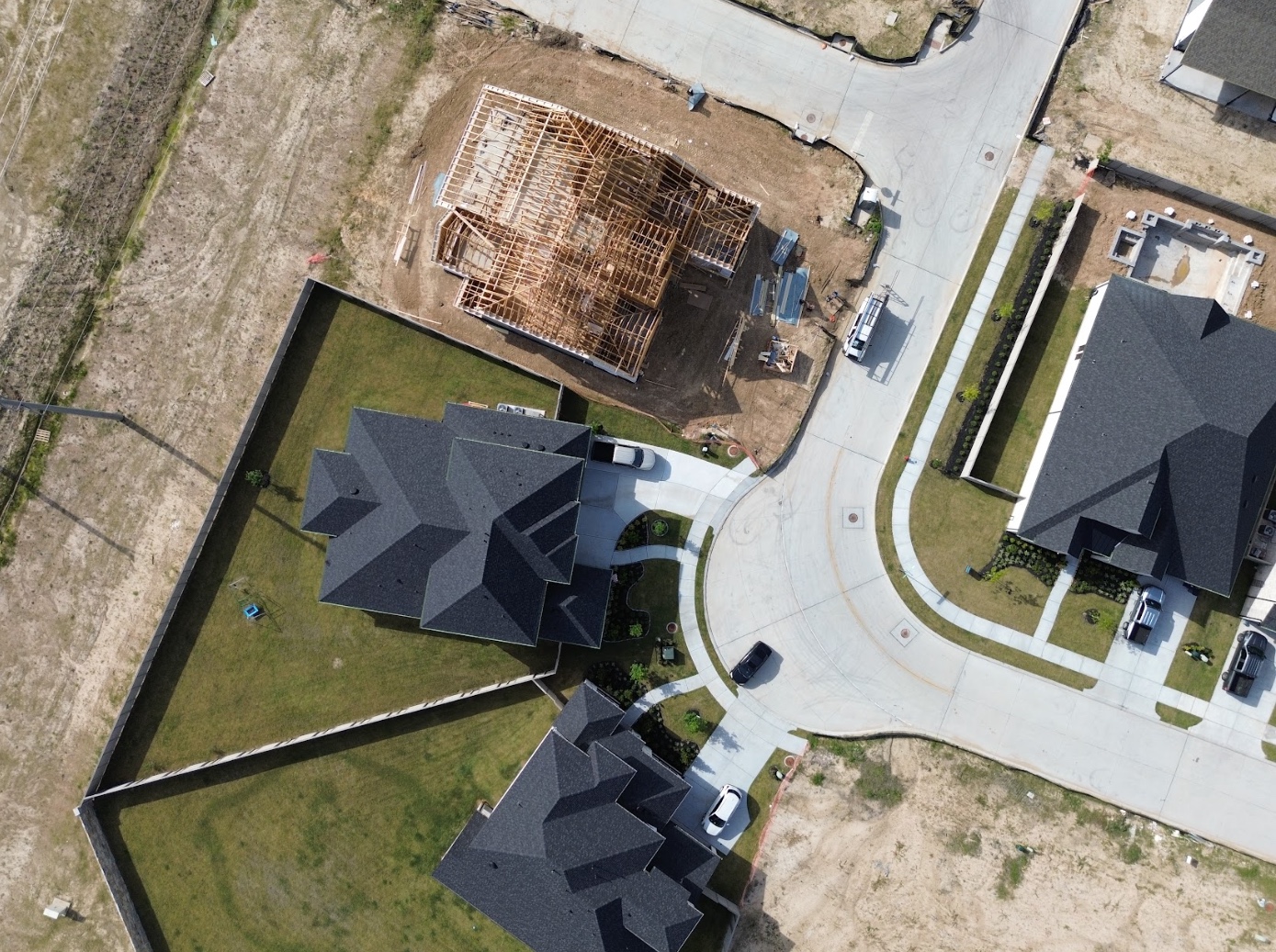
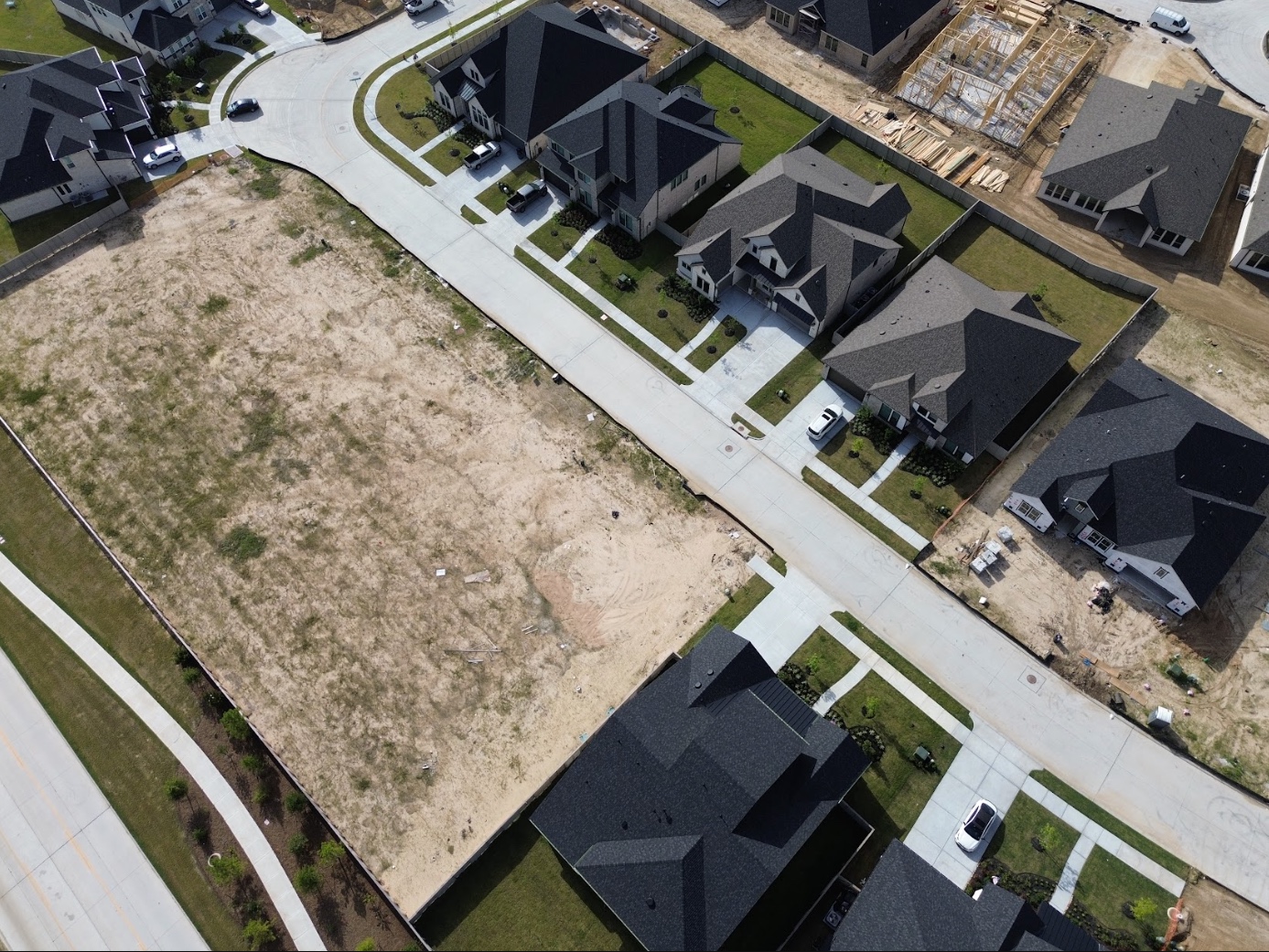
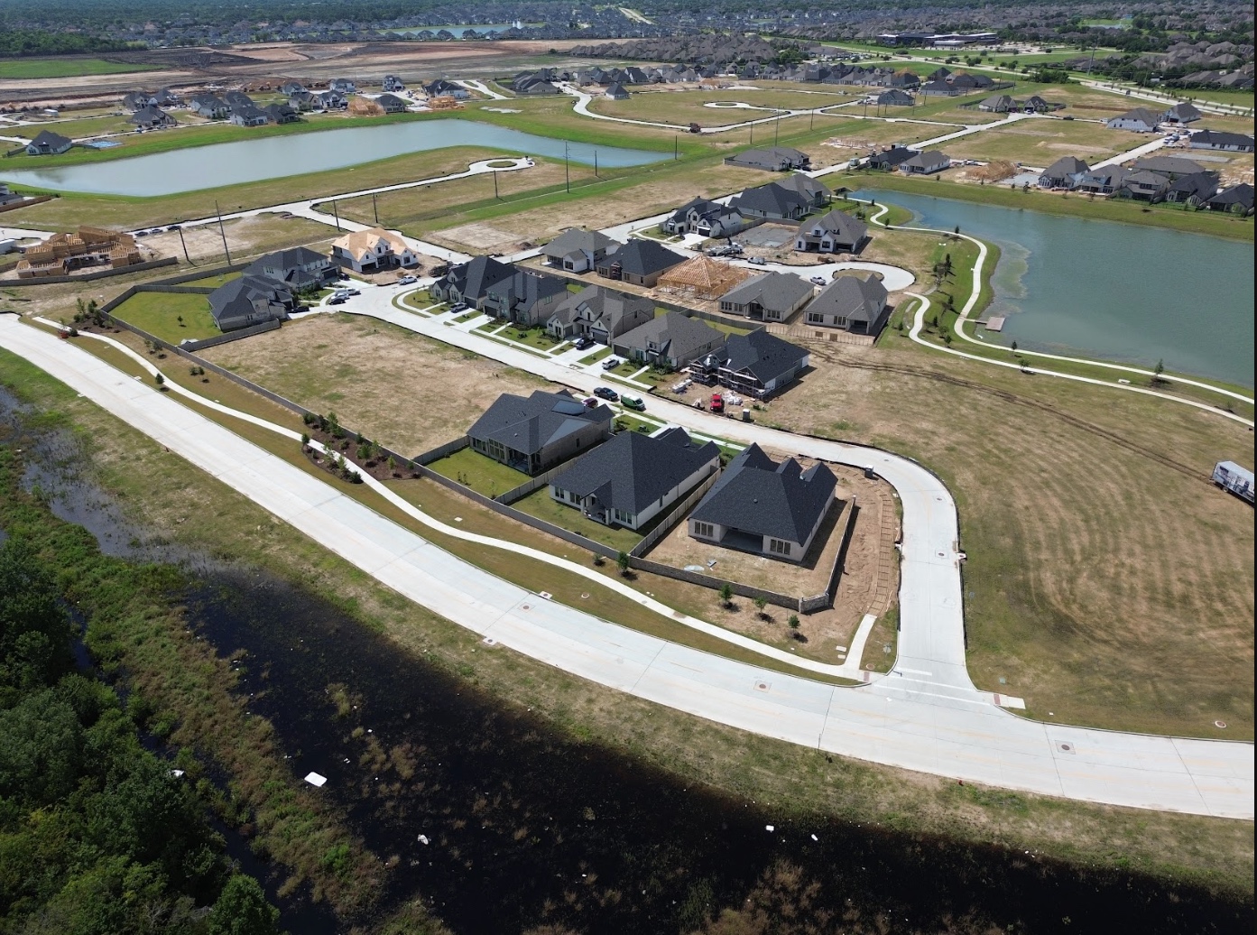
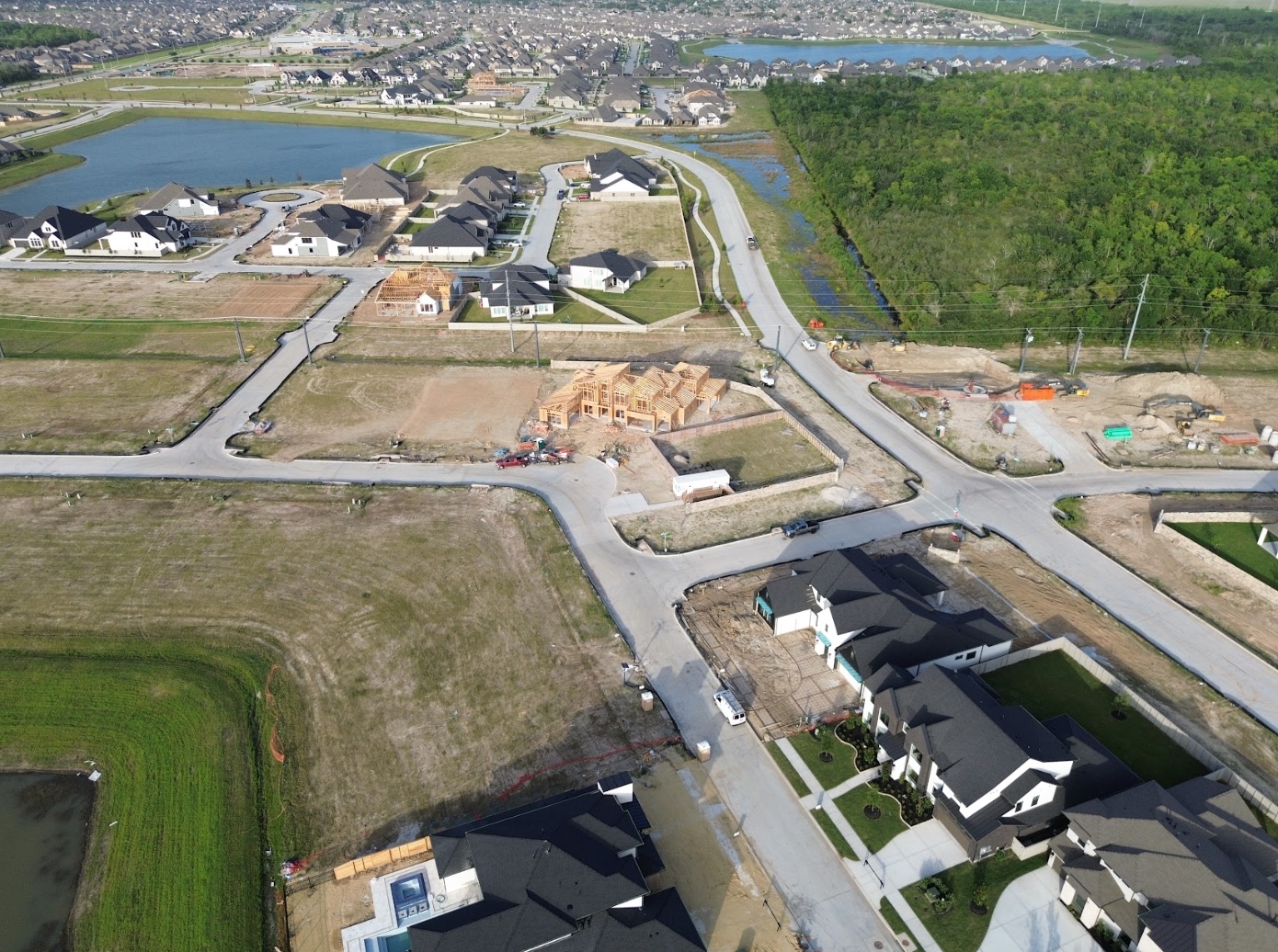
Legacy is delivering 1,630 homes across 805 acres with ten builders working at once. Spexi captures the whole community on a recurring cycle at 2.8 cm resolution, so every phase, lot delivery, and amenity build has a current, verifiable visual record — without dispatching a pilot or waiting on a flyover schedule.
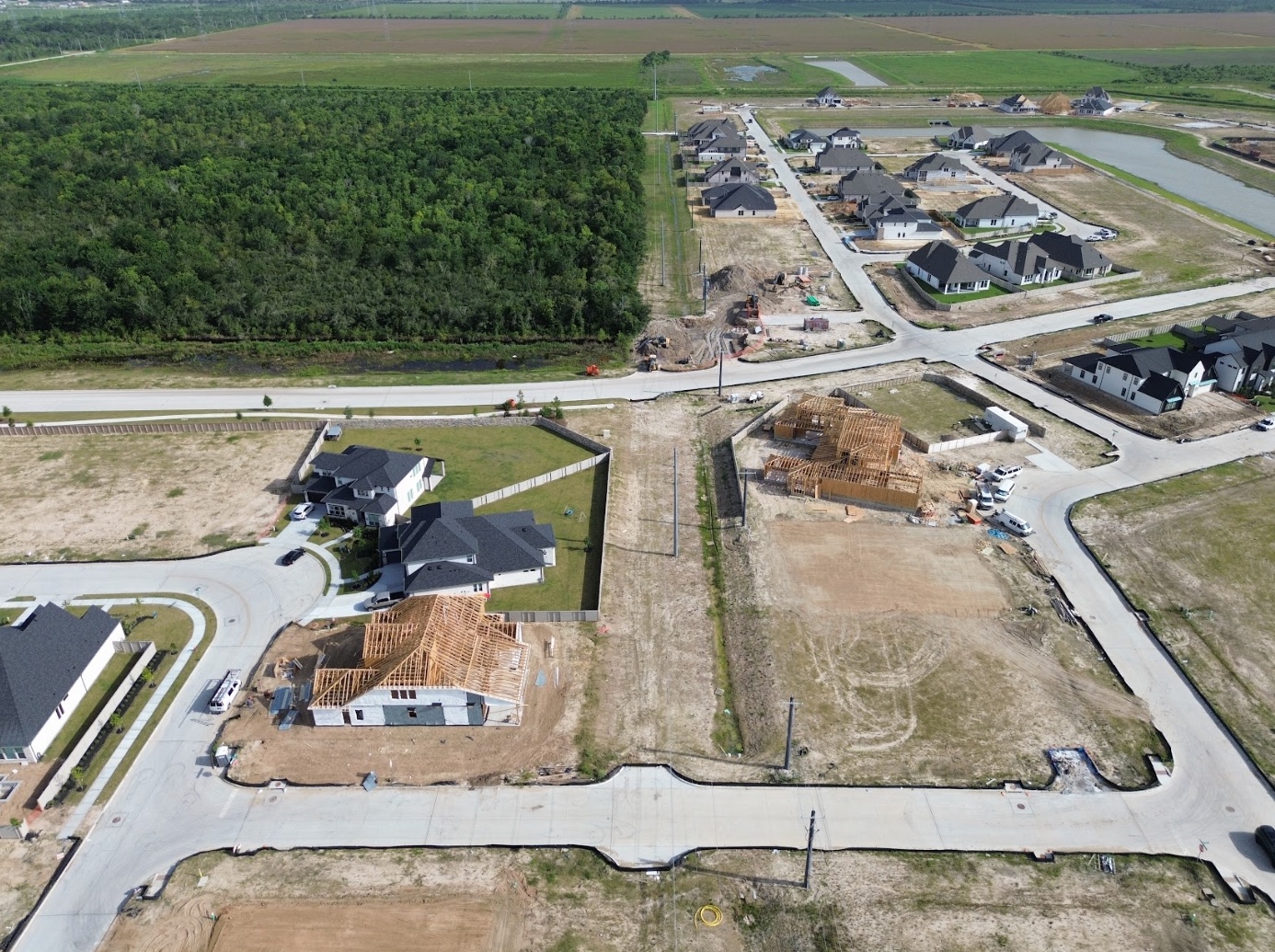
How Spexi Supports Every Stage of Legacy's Build

AAAAAAA

Icon

Land Development & Lot Delivery

Track horizontal progress across phases without driving the site. Spexi's recurring nadir and oblique captures show pad grading, utility trenching, paving, and lot readiness as they happen — so you know what's actually deliverable to builders before the walk-through, not after.

Icon

Builder Coordination Across Ten Partners

With Beazer, Coventry, David Weekley, Drees, Highland, Partners in Building, Perry, Shea, Village Builders, and Westin all vertical at once, pace varies by section. Recurring multiview imagery gives every partner the same current picture of the community — framing counts, slab pours, and completions visible from five angles.

Icon

Marketing, Sales & Municipal Reporting

Keep sales center collateral, builder marketing, and League City progress updates current with imagery captured this cycle instead of last year. The 60 acres of waterways, The Homestead, and the dedicated park acreage photograph as amenities long before they're finished — and long before a ground crew could stage a shoot.

Quietly Powering the Best in the Business

Spexi is trusted by leading governments, disaster response teams, and real estate professionals who need fast, verifiable, sustainable imagery. Legacy accounts for 805 of the roughly 3,100 acres in active development across League City — a market moving fast enough that a static aerial goes stale in a quarter.

100,000+ successful missions
10+ million aerial images
200x faster than traditional surveys

Sandbox Access, Free

Explore the League City sandbox and inspect real structures at full resolution. Compare currency and detail against satellite, drone, or your current provider. No site visit, sales call, or credit card required.

Standard Image API

Pull high-resolution oblique and nadir imagery directly into your reporting, marketing, and asset management systems. Ideal for keeping builder portals, listing collateral, and investor updates synced to the current capture cycle.

Orthomosaic Imagery Solutions

Geo-accurate stitched imagery across the full 805 acres. Overlay against the master plan, verify phase boundaries and park dedication acreage, and document progress for council-ready reporting.

A Tradition Worth Documenting

Legacy is being built to last generations. The record of how it got there should be just as durable. Let's put recurring, high-resolution imagery behind every phase from first pad to final ribbon cutting at The Homestead.