
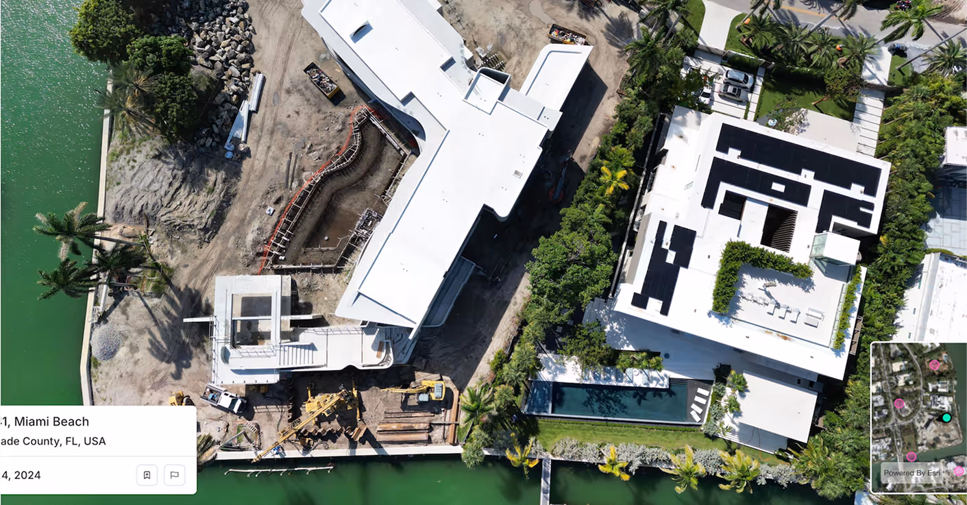
Spexi supplies the ultra-fresh, sub-3 cm imagery that makes Canary AI even smarter. Get visual context that's clearer, faster to update, weather-resistant, and built to reduce margin of error across every insight.
Spexi supplies timely, ultra‑high‑resolution aerial imagery and terrain data to Canary AI, adding real‑world visuals to generative insights. That means the LLM isn’t just working off records and numbers. It’s grounded in what’s actually on the ground. The result: faster, more trustworthy responses for lenders, agents, and investors.
With Spexi’s standardized, refreshable aerial captures feeding into the Instant Insights workflow, HouseCanary users get verified visuals alongside valuation and market data. Whether sourcing deals or monitoring a portfolio, you’re not relying on stale maps.You’re acting on current site conditions, boundaries, and access routes.
Spexi ensures the inputs behind data and valuation models assume fewer unknowns. Orthomosaics and elevation layers improve site‑level context, grading, roof condition, and terrain risk, all feeding HouseCanary’s AVMs and analytics. The payoff: more accurate valuations, sharper risk scoring, and models that reflect reality rather than assumptions.
.gif)

Feed standardized, high-resolution imagery and terrain data directly into HouseCanary’s data environment or partner applications.

Access panoramas, obliques, and orthomosaics through a browser viewer — perfect for analysts and underwriters who need visual validation fast.
Stitched, geo-accurate imagery built for large-scale property coverage and automated modeling. Supports appraisal modernization, AVM training, and investment analytics.
HouseCanary’s insights already lead the market. Spexi imagery makes them undeniable.