X

Give HII’s AI, Autonomy & Digital Twins the Ground Truth They’re Missing
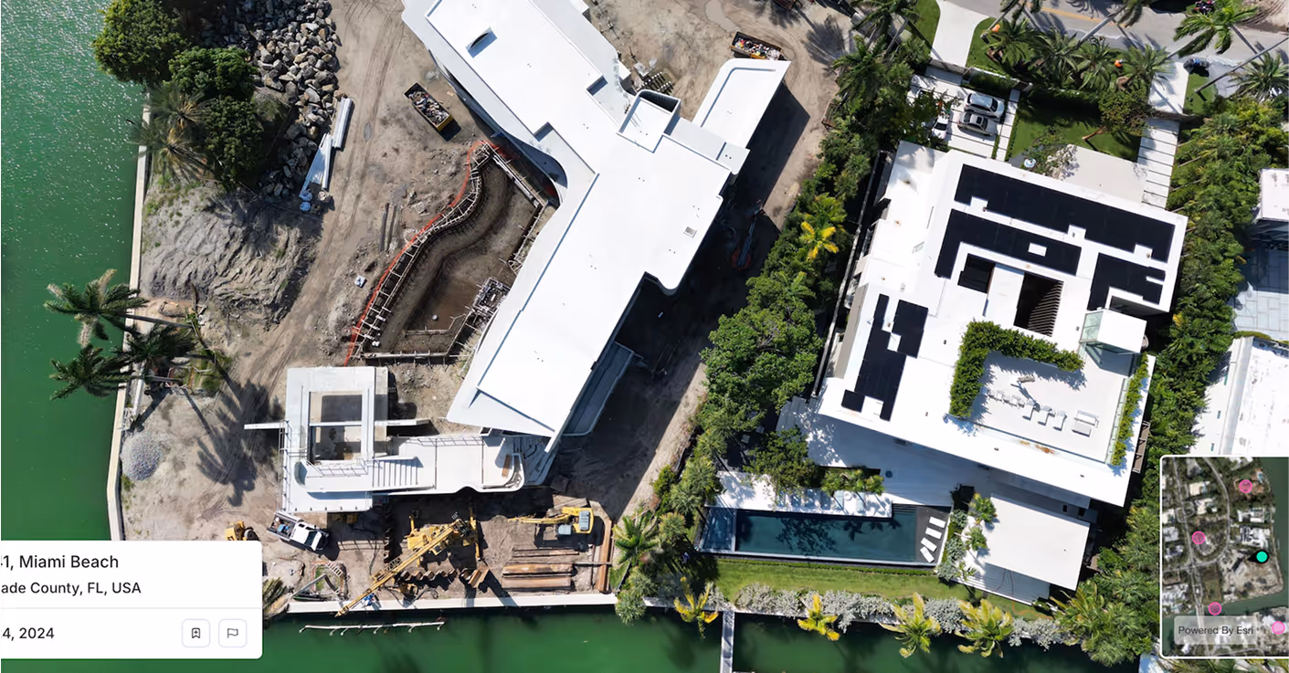
Spexi delivers fresh, geo-accurate imagery that sharpens HII’s intelligence workflows, strengthens autonomy stacks and powers digital-twin accuracy.
Spexi delivers fresh, geo-accurate imagery that sharpens HII’s intelligence workflows, strengthens autonomy stacks and powers digital-twin accuracy.

Odyssey turns vessels into intelligent, self-directed platforms. Spexi strengthens that autonomy with fresh, high-resolution terrain and coastal context so navigation, perception and localization stay accurate.

HII builds training environments and digital replicas used for rehearsal, sustainment and mission planning. Spexi feeds these systems with updated real-world imagery so simulations match current ground truth.

Fortis accelerates intelligence by ingesting and analyzing massive datasets. Spexi fills the spatial and temporal gaps that degrade detection models and analysis pipelines.
Spexi is trusted by leading governments, disaster response teams and real estate professionals who need fast, verifiable and sustainable imagery.
.gif)

Integrate high resolution oblique imagery directly into HII’s AI, autonomy and digital twin pipelines. Reliable, fast and built for enterprise-scale defense programs.
A browser-based viewer for panoramas and obliques. Ideal for mission engineering, intel and autonomy teams who need to visually inspect, compare and validate assets, terrain and critical infrastructure.
Geo-accurate stitched imagery and terrain datasets for wide-area coverage. Perfect for mapping, model validation, autonomy test corridors and continuous spatial monitoring around key installations.
Palantir’s platforms are only as strong as the data behind them. Keep every model, agent and simulation grounded in reality with fresh, high resolution imagery from Spexi.
.png)