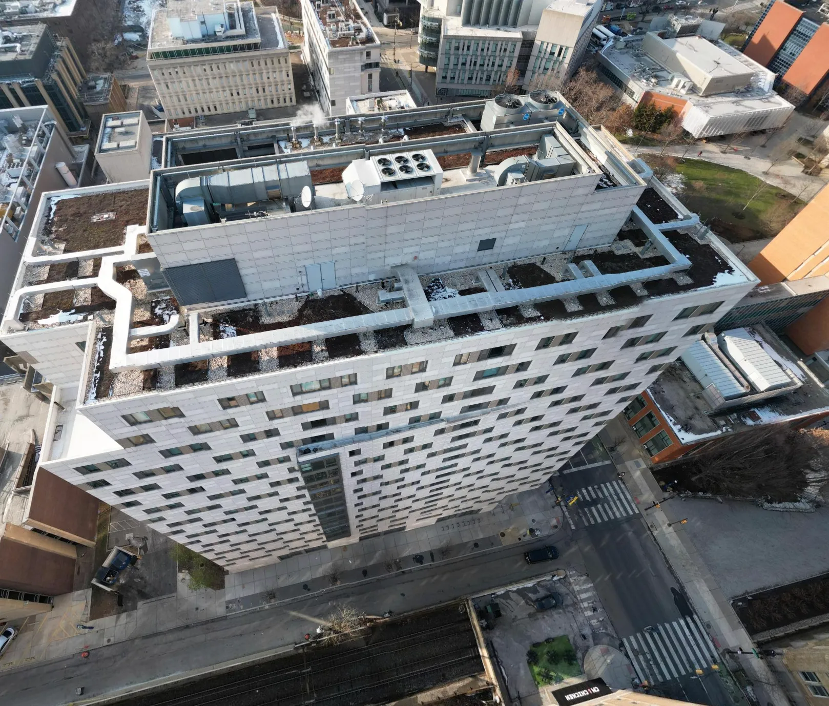
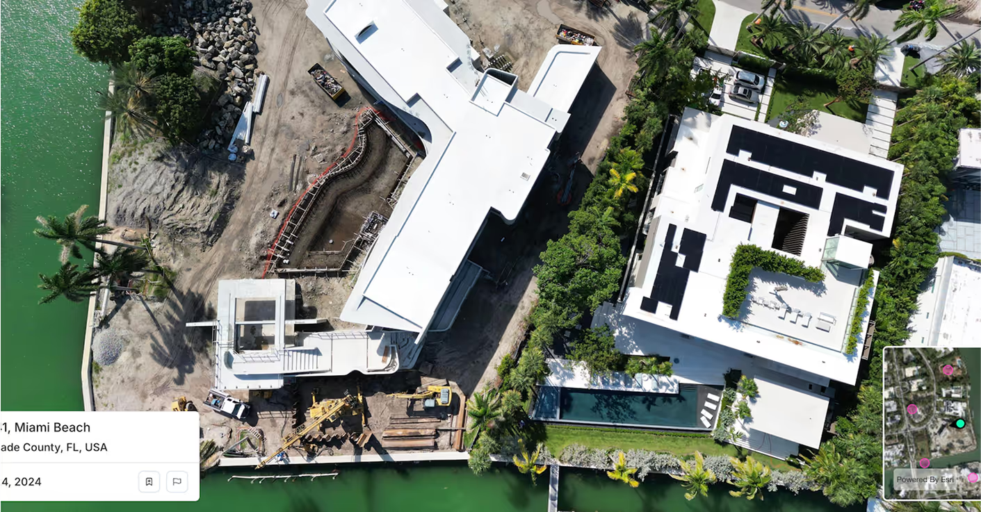
Geospatial Analytics delivers deep insight into asset condition and capital risk — and Spexi’s sub-3 cm drone imagery makes those insights real. By feeding each model with current, high-resolution aerial and elevation data, Geospatial Analytics can detect issues sooner and forecast with verified accuracy at scale.
Spexi’s ultra-high-resolution drone imagery delivers a living record of every facility, roof, and structure. Each capture feeds directly into Geospatial Analytics’ inspection workflows, creating continuous visibility across every asset.
Orthomosaics can expose early signs of deterioration and site degradation that traditional datasets miss. With regular refreshes, Geospatial Analytics can model capital needs with greater precision, aligning forecasts to real-world conditions instead of static reports.
Spexi’s standardized drone imagery can supply the consistency enterprise asset managers need. Imagery and terrain data integrate seamlessly into Geospatial Analytics’ dashboards — giving teams verified, comparable visuals for every site, portfolio, and region.
.gif)

Direct imagery integration for inspection or capital planning workflows. Fast, standardized, and nationwide.

View orthomosaics and obliques through a browser — giving teams visual access to assets without needing field presence or specialized software.
High-resolution, georeferenced imagery stitched for full portfolio coverage. Built for asset condition tracking and multi-year change analysis.
Your analytics already measure performance. Spexi imagery shows what’s actually happening.