X

Take Crexi’s Property Market Intelligence to the Next Level
Let’s Make it Visually Unstoppable. Spexi adds ultra-high-resolution imagery to amplify Crexi Intelligence, creating a living, visual layer of truth for every property.
Let’s Make it Visually Unstoppable. Spexi adds ultra-high-resolution imagery to amplify Crexi Intelligence, creating a living, visual layer of truth for every property.
Crexi delivers world-class comps, lease data, and market trends. Spexi brings those insights to life — transforming data into spatially verified context that’s updated, high-resolution, and visually precise.

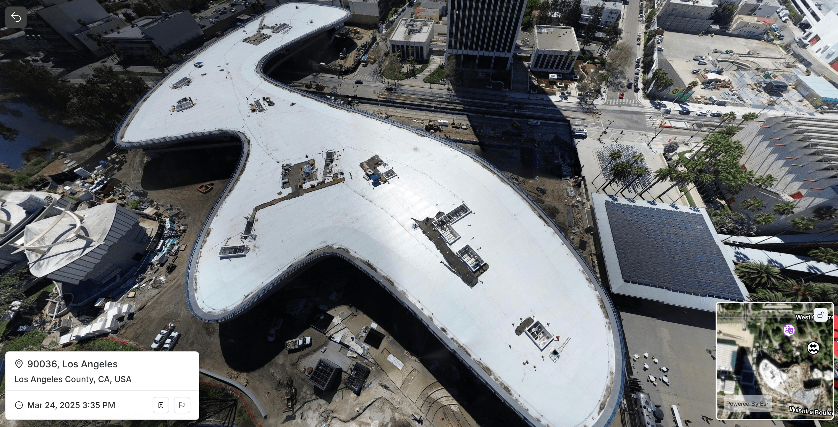
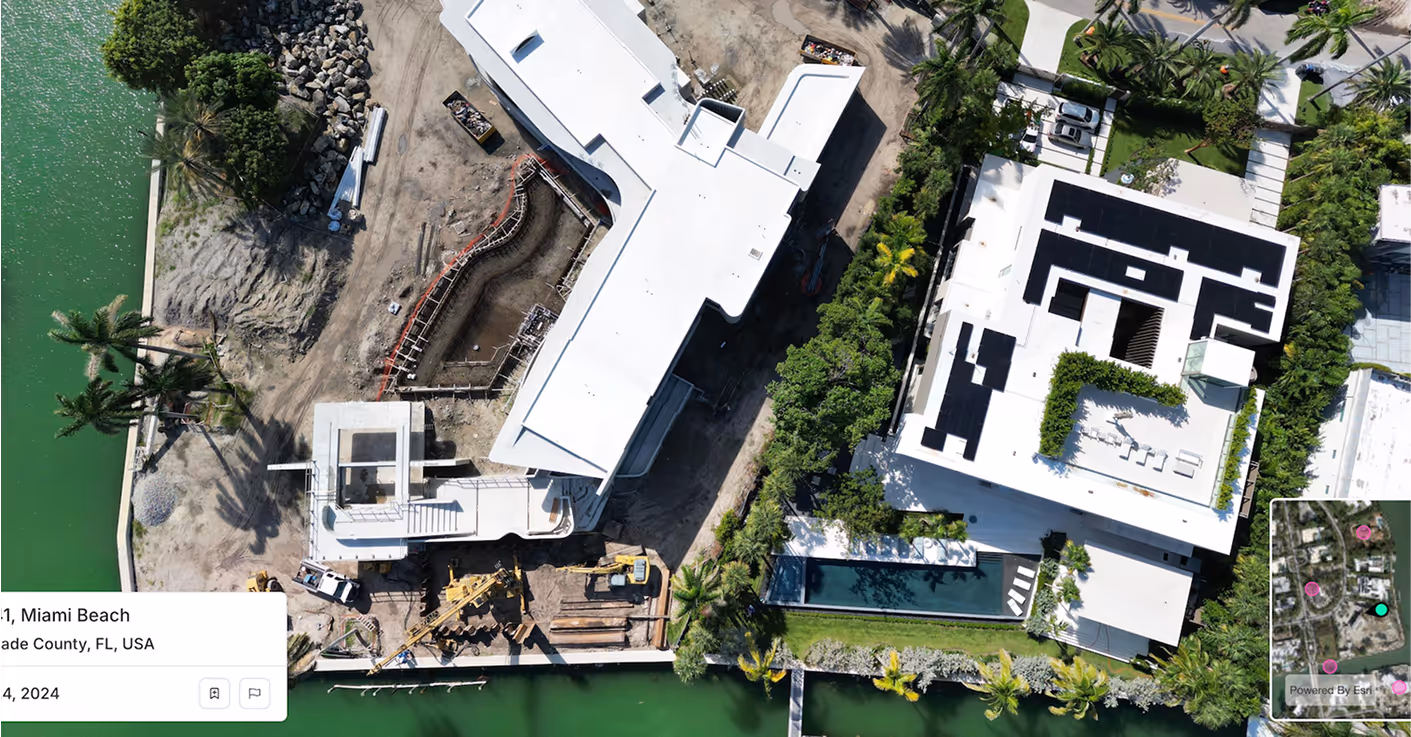
Spexi’s drone-captured imagery gives Crexi users the power to see every parcel as it truly is — current, accurate, and sub-3 cm clear. Users can visualize terrain, access, and surrounding context with precision satellite feeds can’t match, driving faster, smarter site decisions.

Feed Crexi’s 153 M+ property records with ultra-high-resolution imagery that reflects real conditions — not outdated tiles. Identify construction, redevelopment, or condition shifts instantly and strengthen the accuracy of comps, lease data, and pricing models.

Combine verified ownership data with live aerial views to surface hidden opportunities and track change before listings hit the market. Spexi’s standardized imagery keeps every portfolio up-to-date and every decision grounded in visual truth.
Spexi is trusted by leading governments, disaster response teams, and real estate professionals who need fast, verifiable, and sustainable imagery.
.gif)

Access on-demand ortho, pano, or oblique imagery — ready to plug into your maps, layers, or UI. Starts at $300/month. API view of a building
Explore properties with panoramic views, bookmarks & time series capabilities: all in one intuitive interface. Detailed aerial photo for smarter decisions with Spexi
Need imagery for a specific parcel or market? We deliver updated, aligned, and ultra-clear.
Crexi delivers world-class comps, lease data, and market trends. Spexi brings those insights to life — transforming data into spatially verified context that’s updated, high-resolution, and visually precise. Here’s how Spexi quietly strengthens what you already do best:
.png)