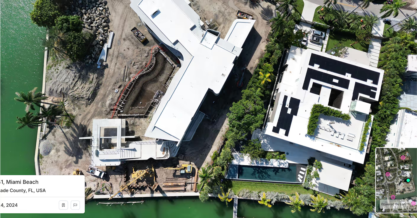
Feed your simulation engine with ultra-high-resolution aerial data. Spexi gives Bifrost the visual fidelity needed to build, test, and validate synthetic data at scale, unlocking richer scenario generation and broader training coverage across edge cases.
Get the pixel clarity needed to model photorealistic textures, materials, and environments. Spexi’s sub 3-cm resolution imagery captures details others miss; down to vegetation type, rooftop textures, and micro-structural wear.
Stay ahead of model drift and data decay. Spexi captures fresh aerial imagery with rapid turnaround across 200+ monitored locations, enabling you to simulate real-world changes in infrastructure, movement, and activity over time. Ideal for building and validating AI systems used in defense, surveillance, and base operations.
Compare synthetic outputs against real-world benchmarks with ready-to-ingest orthomosaics. Spexi delivers standardized, ML-ready imagery with full API integration so you can automate capture, validation, and retraining without missing a beat.
Spexi is trusted by leading governments, disaster response teams, and real estate professionals who need fast, verifiable, and sustainable imagery.
.gif)

Integrate high-resolution oblique imagery directly into your asset pipeline. Access hyper-local data at global scale.

A browser-based viewer for panoramas and obliques; ideal for QA teams validating damage states, vegetation cover, and built environments.
Geo-accurate stitched imagery and terrain datasets. Build and benchmark large-scale simulations with consistent ground truth references.
Bifrost’s mission is to simulate the most diverse scenarios on the planet. Spexi delivers the imagery that makes those scenarios believable, testable, and real. Let’s raise the bar on what synthetic data can do.