Discover how water, electrical, gas and telecom utilities can validate asset locates and reduce field work with flexible and scalable drone imagery inside ArcGIS.

Webinar:
Smarter urban utility inspections
with on-demand drone imagery in ArcGIS
June 09 11am PT
30 mins
Thank you! Your submission has been received!
.webp)
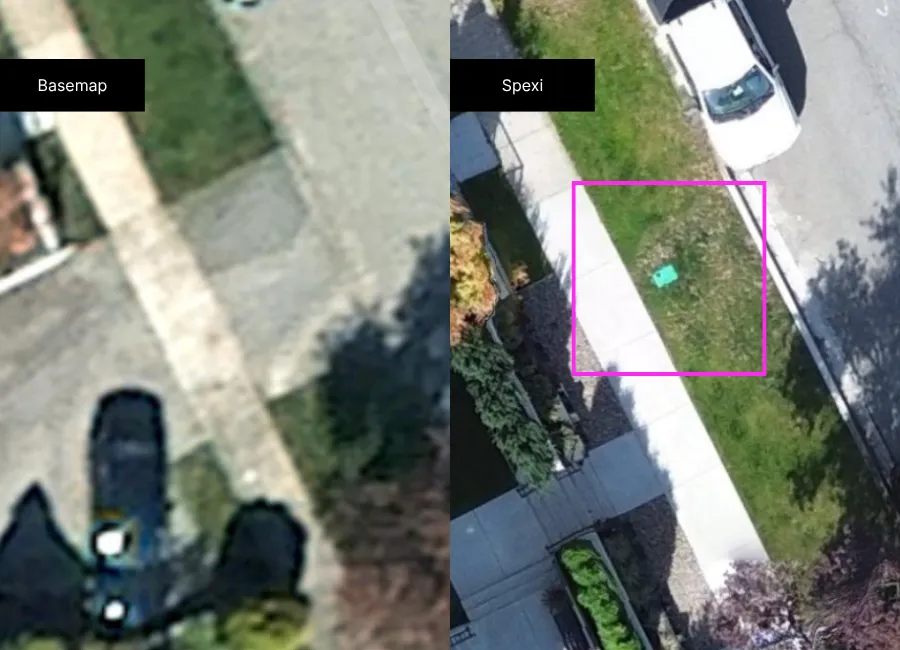
Flexible, on-demand visibility for utility inspections
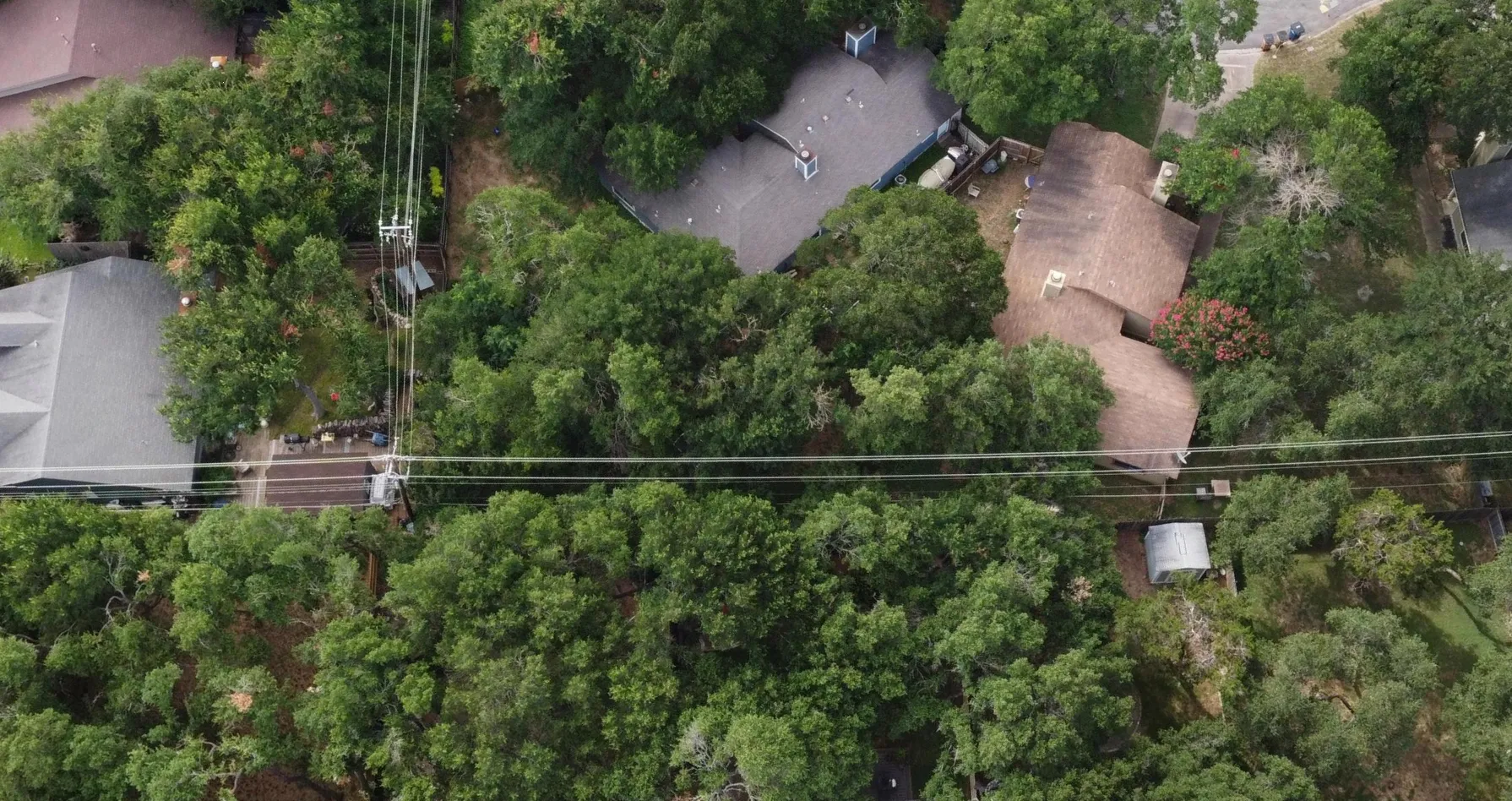
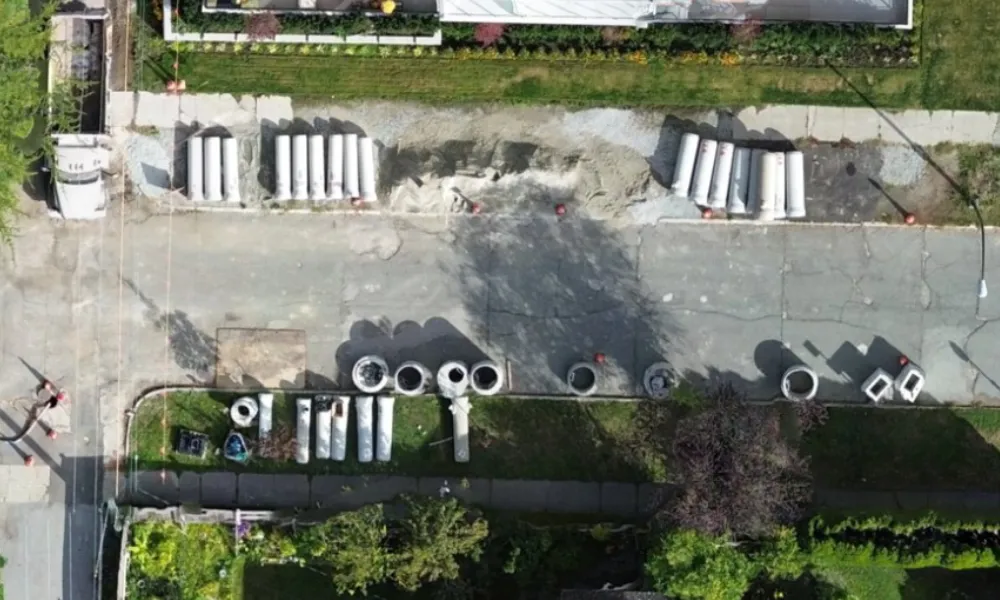
Utility operations, engineering, and GIS teams often lack a reliable, detailed view of distributed assets and field conditions, making it difficult to validate infrastructure, reduce truck rolls, and respond efficiently to ongoing network changes.
Join our webinar to explore how utilities are using high-resolution, on-demand drone imagery directly in ArcGIS to validate asset locations, improve inspection workflows, and support faster operational decision-making with current field data.
What you’ll learn
How utility teams are using on-demand drone imagery to validate asset locations, reduce truck rolls, and improve field visibility.
Practical ways to integrate high-resolution ortho and oblique imagery into ArcGIS workflows for inspections, GIS validation, and infrastructure management.
How to access and procure Spexi imagery directly through the Esri Content Store for fast, scalable deployment across utility operations.
Get a clear view of utility assets in ArcGIS. Register now.
Who Should Attend:
Utility GIS Managers
Utility Operations Managers
Field Operations Managers
Engineering Managers
Asset Managers
Event Details:
June 09 11am PT
Duration : 30 Minutes
Location : Remote
Why attend
See how utility teams are replacing slow, manual field verification with scalable, on-demand drone imagery workflows in ArcGIS to improve asset visibility, reduce operational costs, and make faster, more informed infrastructure decisions.
About Spexi
Spexi provides high-resolution drone imagery on demand using the world's largest distributed drone pilot network, helping utility teams locate assets when and where needed.
Data is delivered in days and integrates directly into GIS platforms like ArcGIS, so teams can monitor change and make better decisions across utility operations.
.webp)