Discover how Architecture, Engineering, and Construction (AEC) teams can task and distribute high-quality views of project sites across project portfolios within their ArcGIS workspace.

Webinar:
Distributed drone imagery for AEC project visibility in ArcGIS
June 23 11am PT
30 mins
Thank you! Your submission has been received!
.webp)
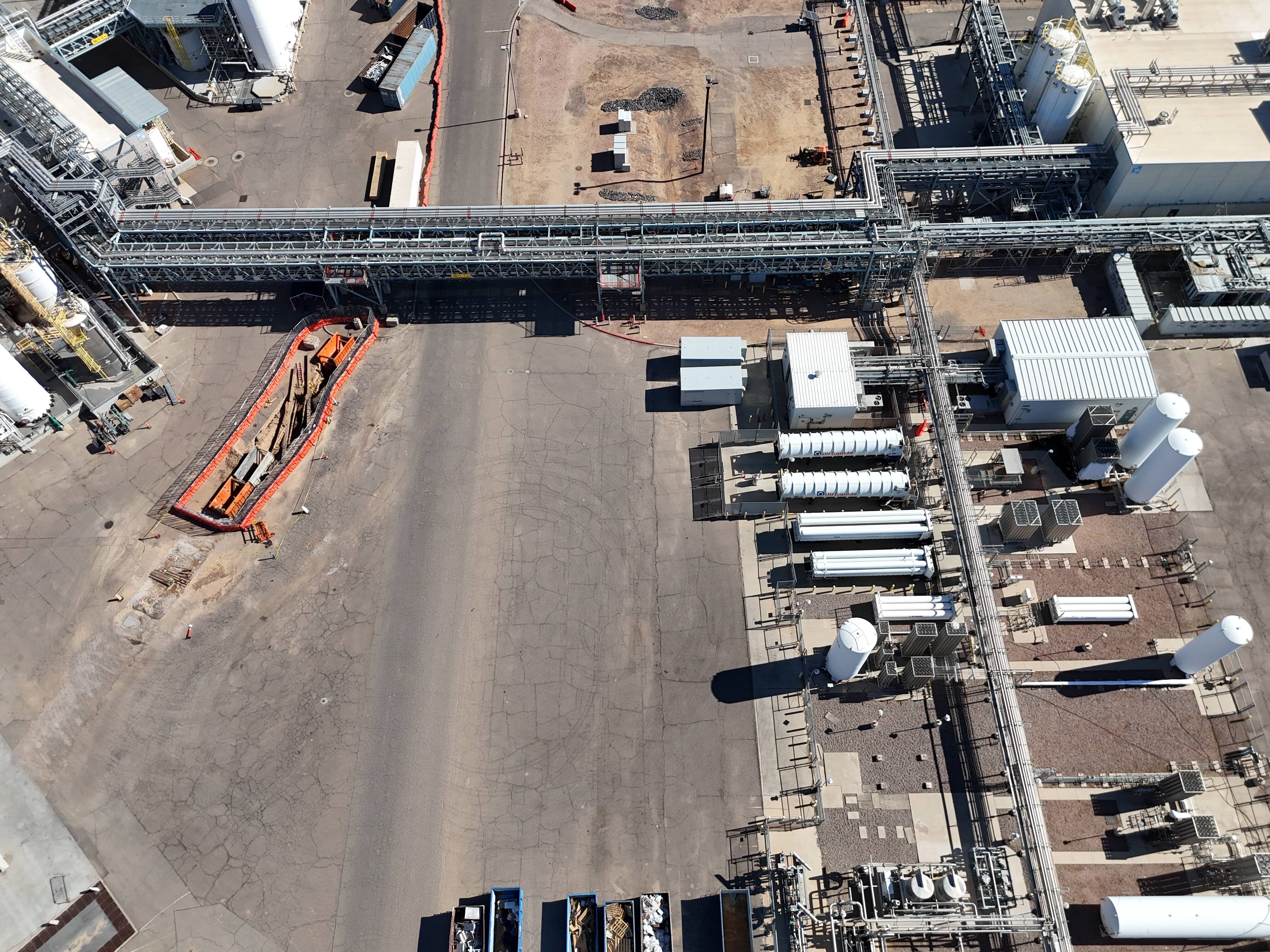
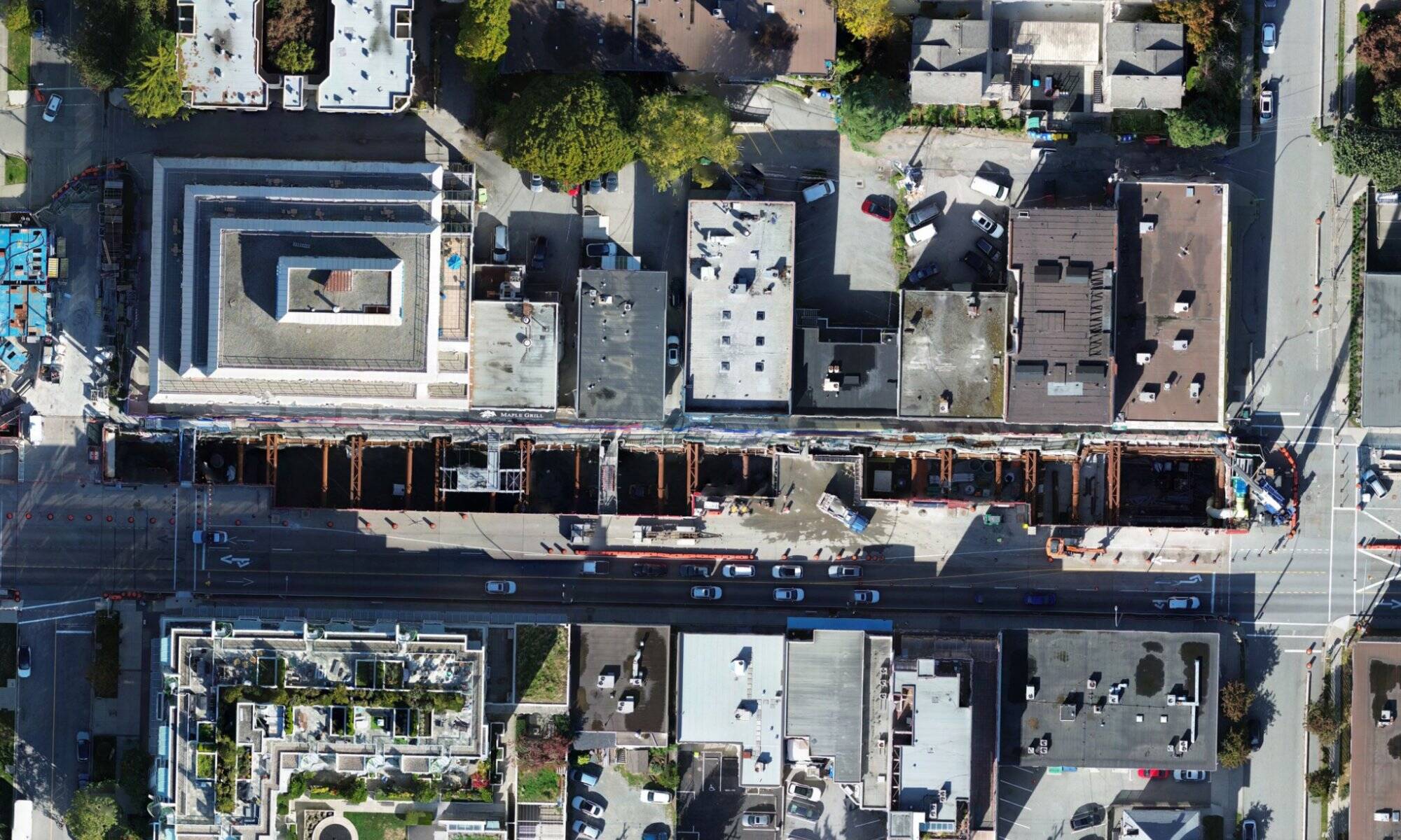
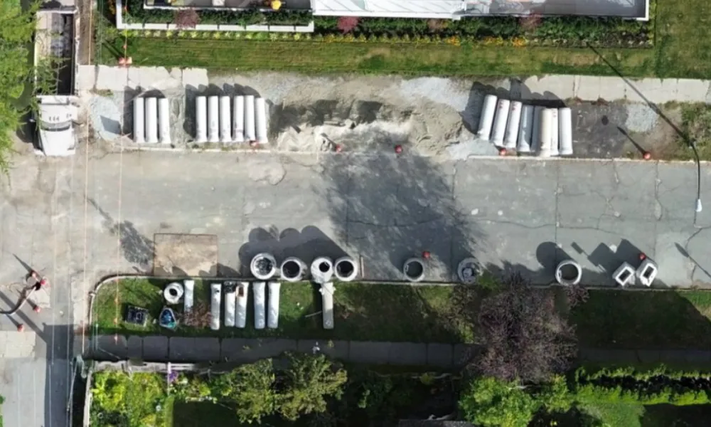
Distributed visibility for project sites
Owners, developers, engineers, and construction teams often rely on site visits, reports, and scattered photos to understand project conditions. These sources do not provide a consistent or current view of what is happening on site.
Join this webinar to learn how AEC teams use
on-demand drone imagery in ArcGIS to verify progress, monitor site conditions, and maintain visibility across projects.
What you’ll learn
How AEC teams use on-demand drone imagery to verify progress, monitor site conditions, and detect issues earlier.
Practical ways to integrate ortho and oblique imagery into ArcGIS workflows for construction monitoring, project documentation, and stakeholder reporting.
How to access and procure Spexi imagery through the Esri Content Store for use across projects and regions.
Get a clear view of your entire project portfolio . Register now.
Who should attend:
Owners & developers
Construction project & operations managers
Portfolio managers
Engineering managers & consultants
Event details:
June 23 11am PT
Duration : 30 Minutes
Location : Remote
Why attend
Learn how distributed drone imagery in ArcGIS can help your team verify progress, monitor site conditions, and maintain visibility across multiple construction projects.
About Spexi
Spexi is building a new model for aerial data collection through a distributed drone imagery network.
By standardizing how imagery is captured, processed, and delivered, Spexi makes it possible to access current aerial data more frequently and across more project sites than traditional aerial imaging approaches.
For AEC teams, this creates a practical way to maintain ongoing visibility into construction progress, site conditions, and project risk using standardized imagery delivered directly into ArcGIS and other project systems.
.png)