
Earth's Living Drone Imagery Layer for San Diego
Continuously updated, integration-ready drone imagery and geospatial intelligence for San Diego — powering leading mapping pipelines, precise world models, and physical AI systems.
In collaboration with



San Diego data for geospatial and AI systems that need to understand the physical world
Next-gen data products
Standardized and ultra-high resolution
Gaussian splats
3D point clouds + orthomosaics
Structured oblique + nadir imagery
Create living world models
Continuously update city-scale models with time-series data captures.
Spatial AI model training
Robotic simulations
Inrastructure inspections
Enable portfolio intelligence
Maintain Al-driven visibility into asset conditions across portfolios.
Development state tracking
Asset condition modeling
Investor reporting automation

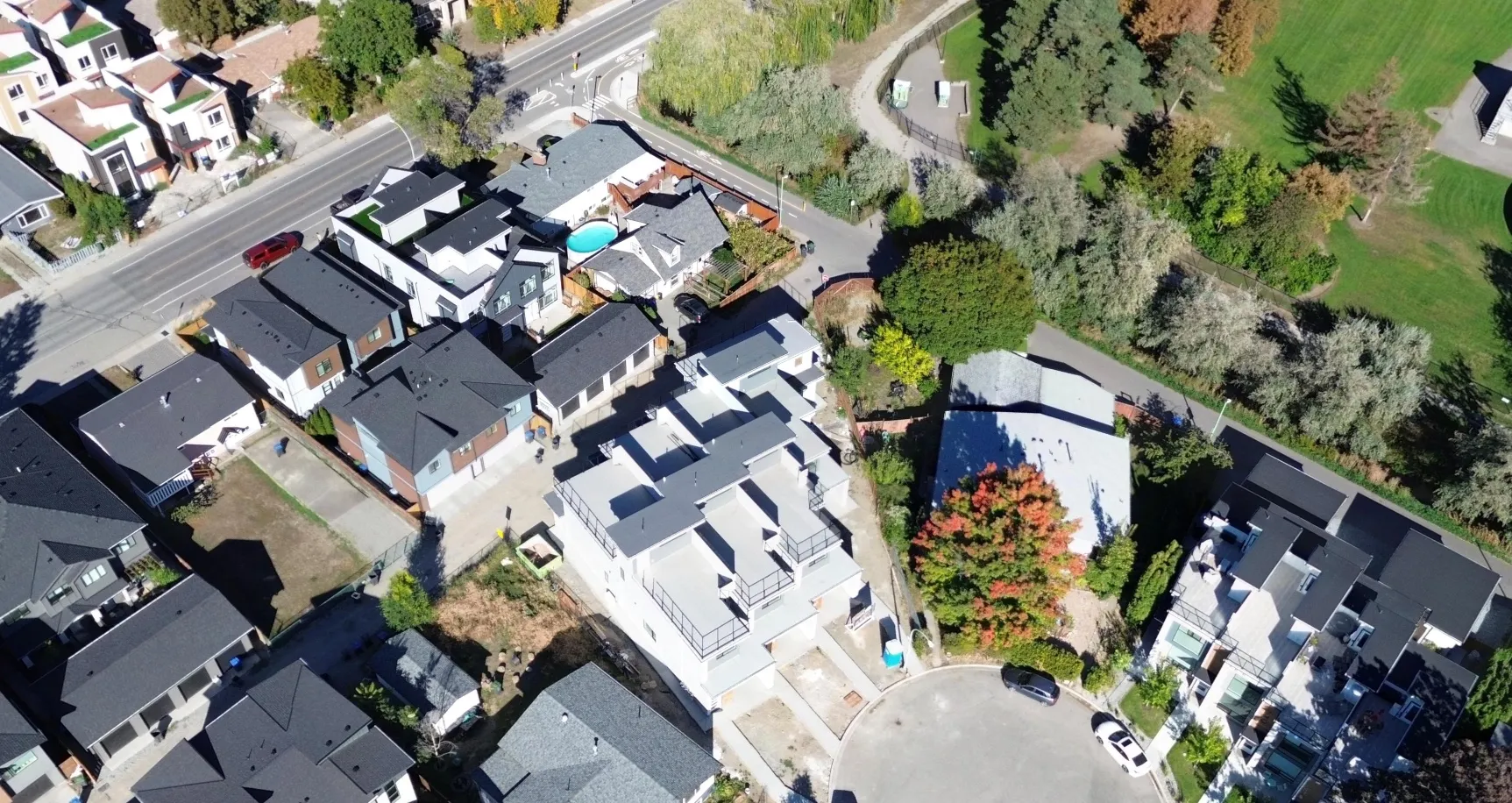
Detect real-world change
Enable real-world change detection to your sites and assets with regularly updated imagery
Progress verification
Site change detection
Risk prediction
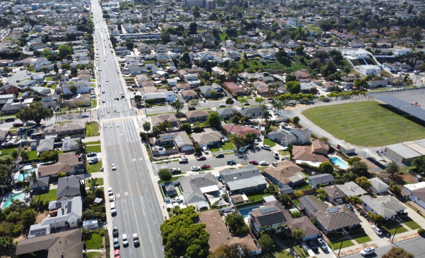
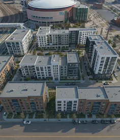
San Diego imagery captured by the thousands of drone pilots who power Spexi data collection
San Diego imagery, kept up to date

Frequent, recurring captures
No scheduling required
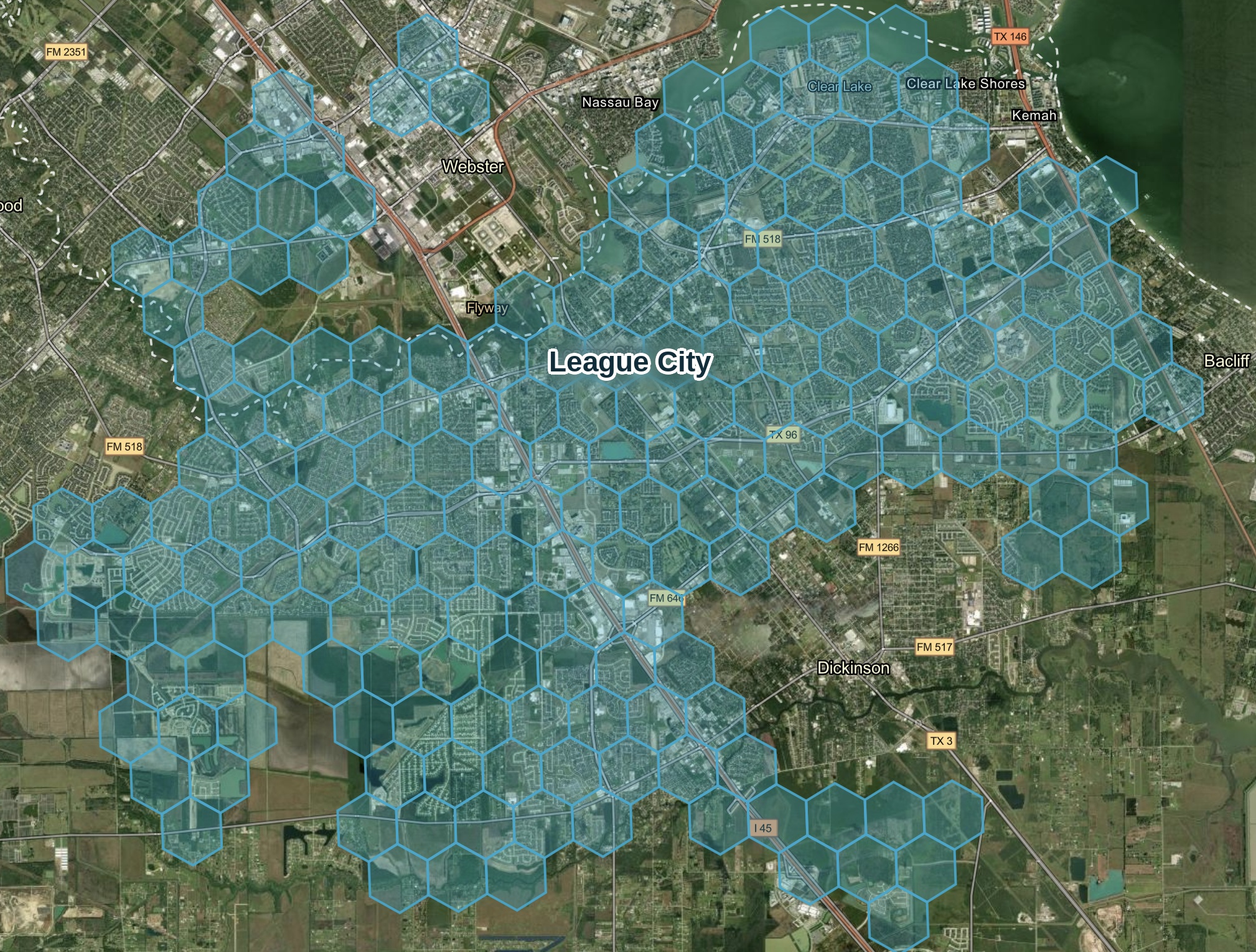

Multi-angle views
Nothing hidden from sight
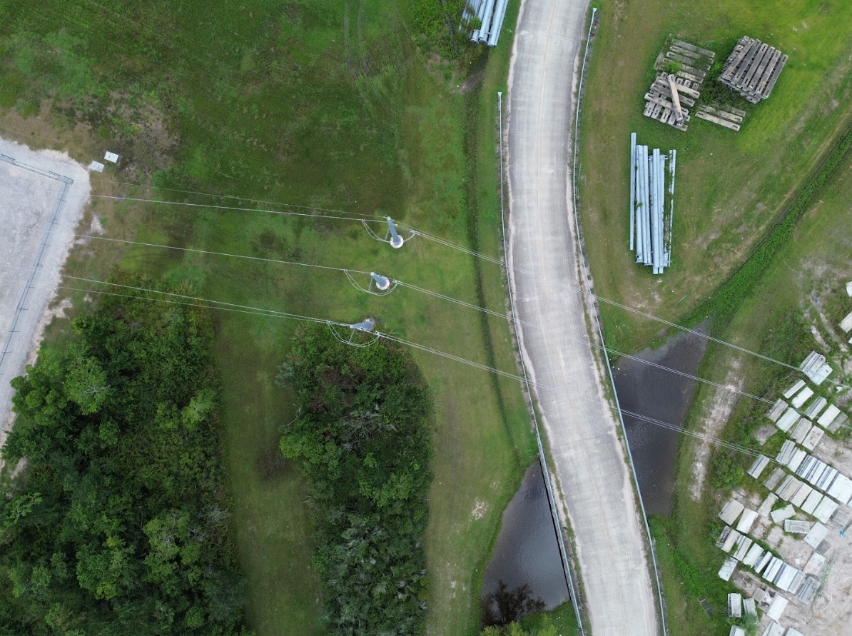
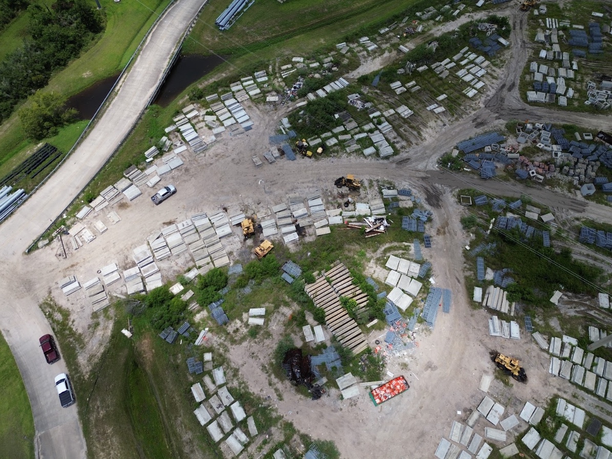
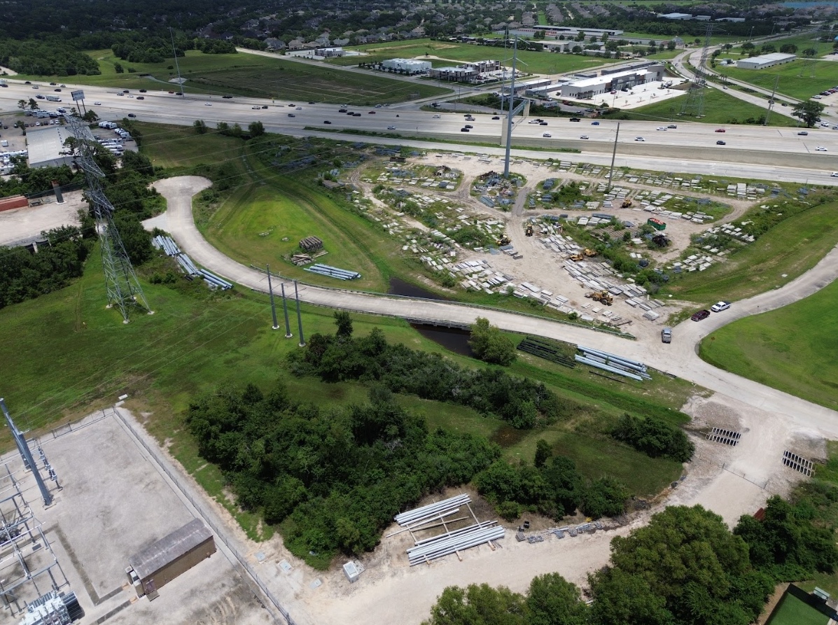
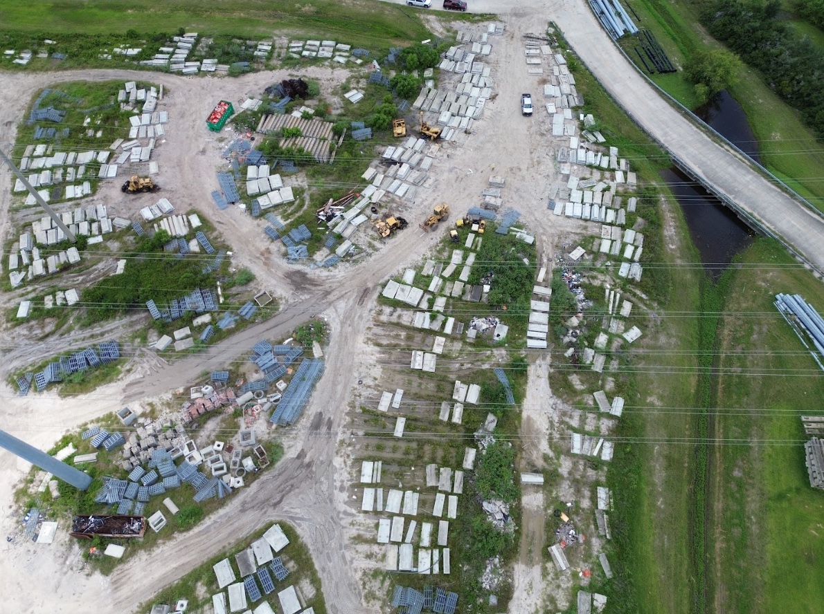
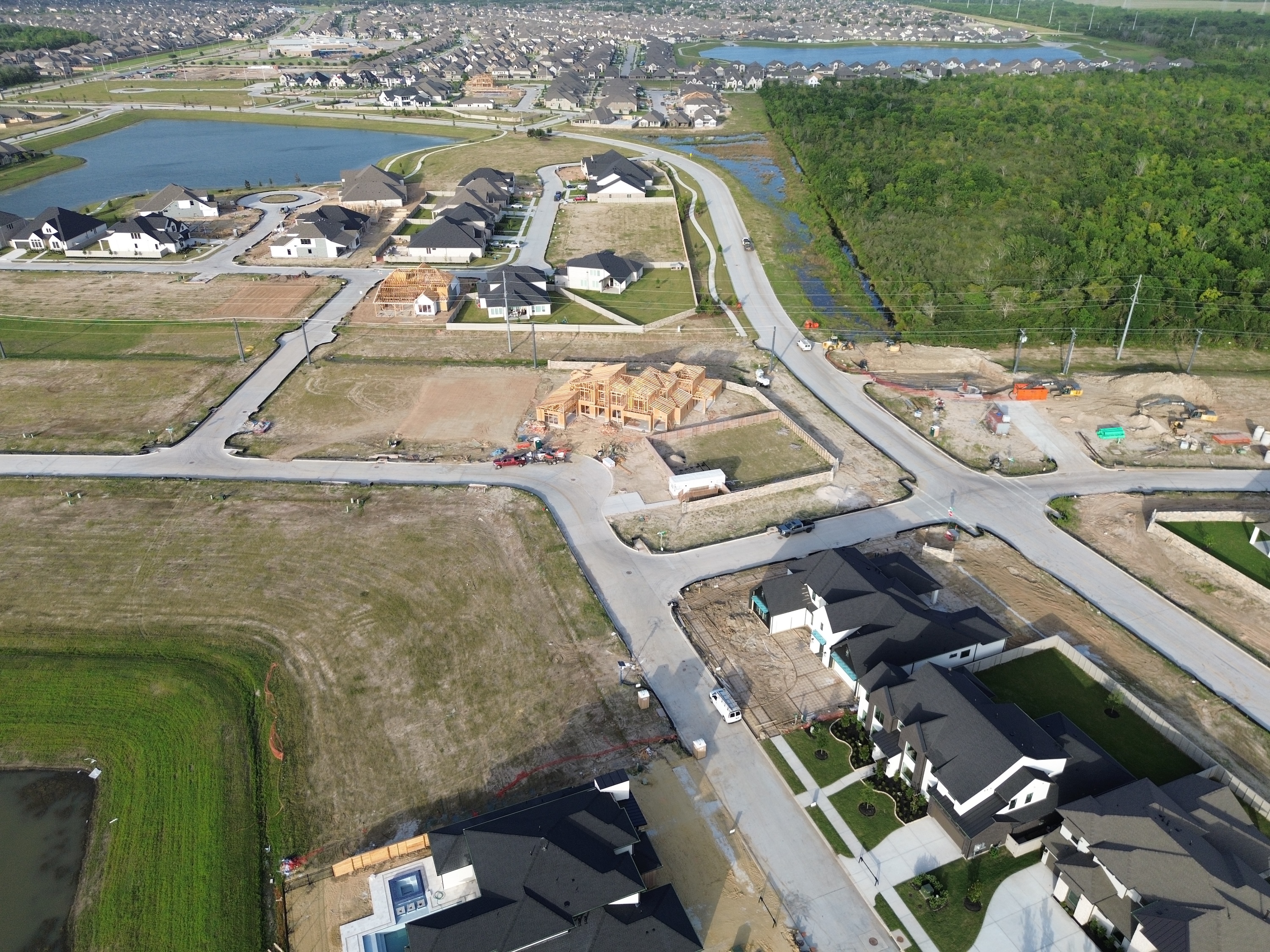
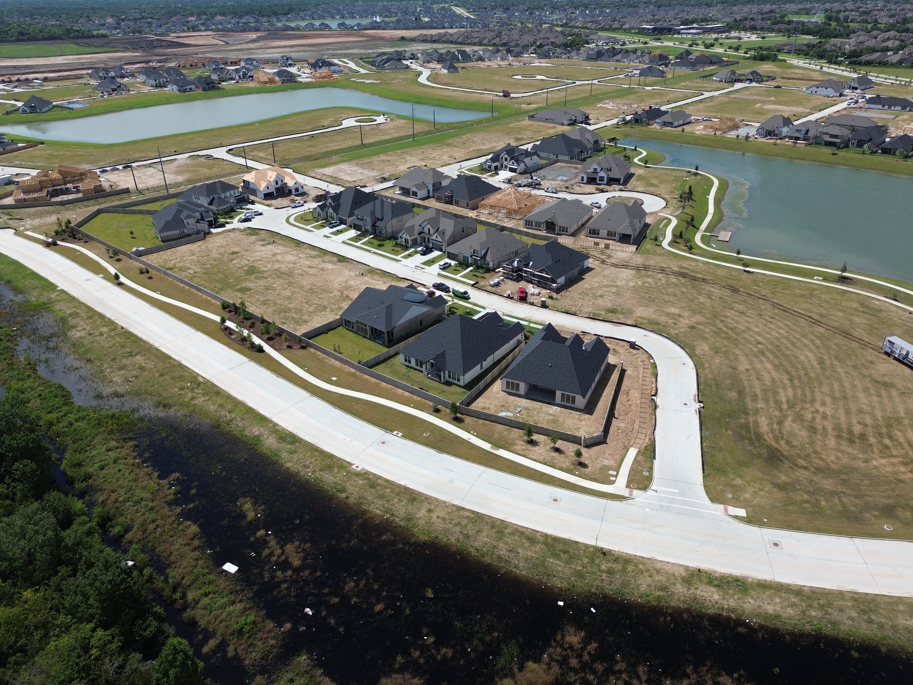
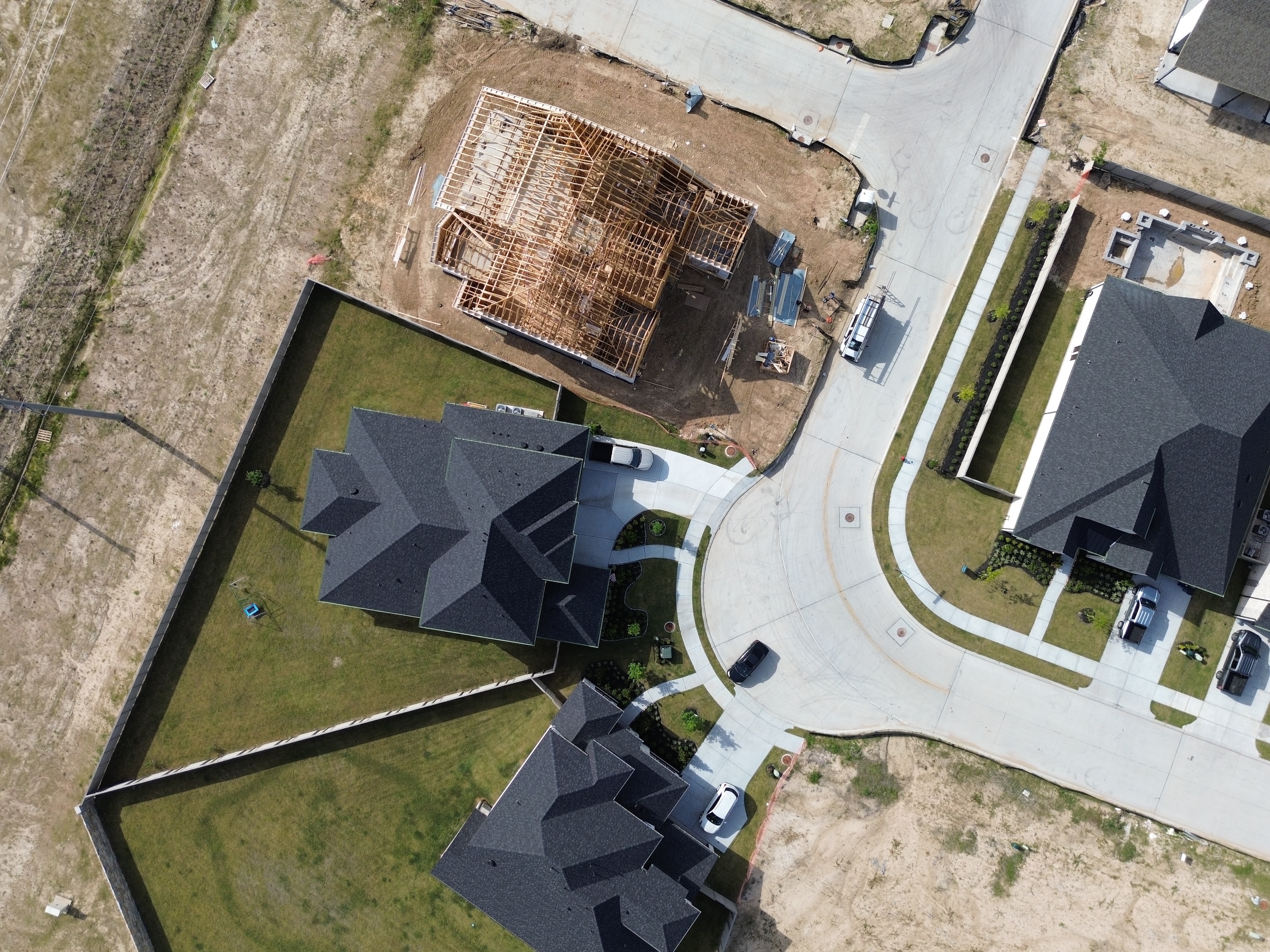
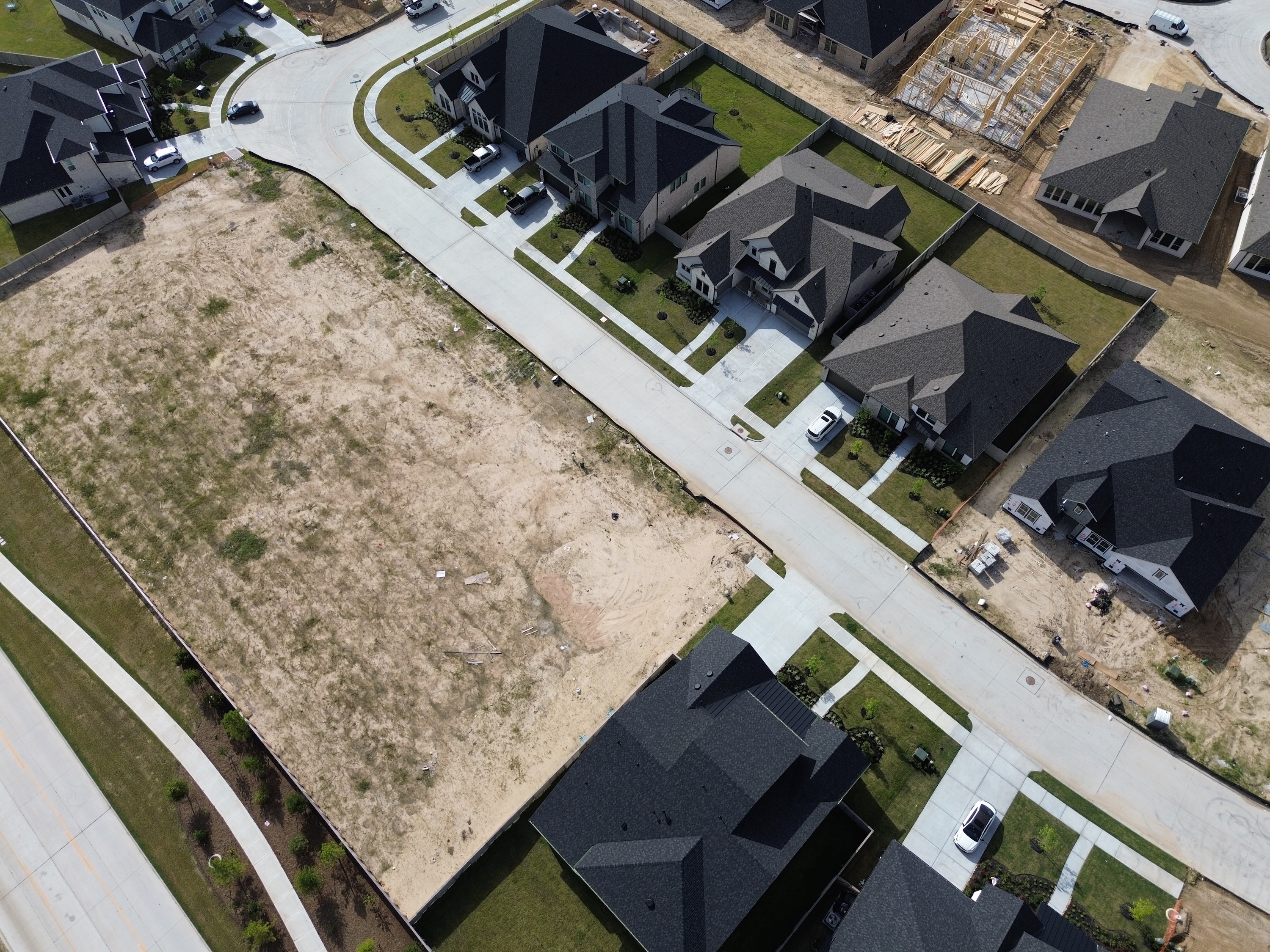
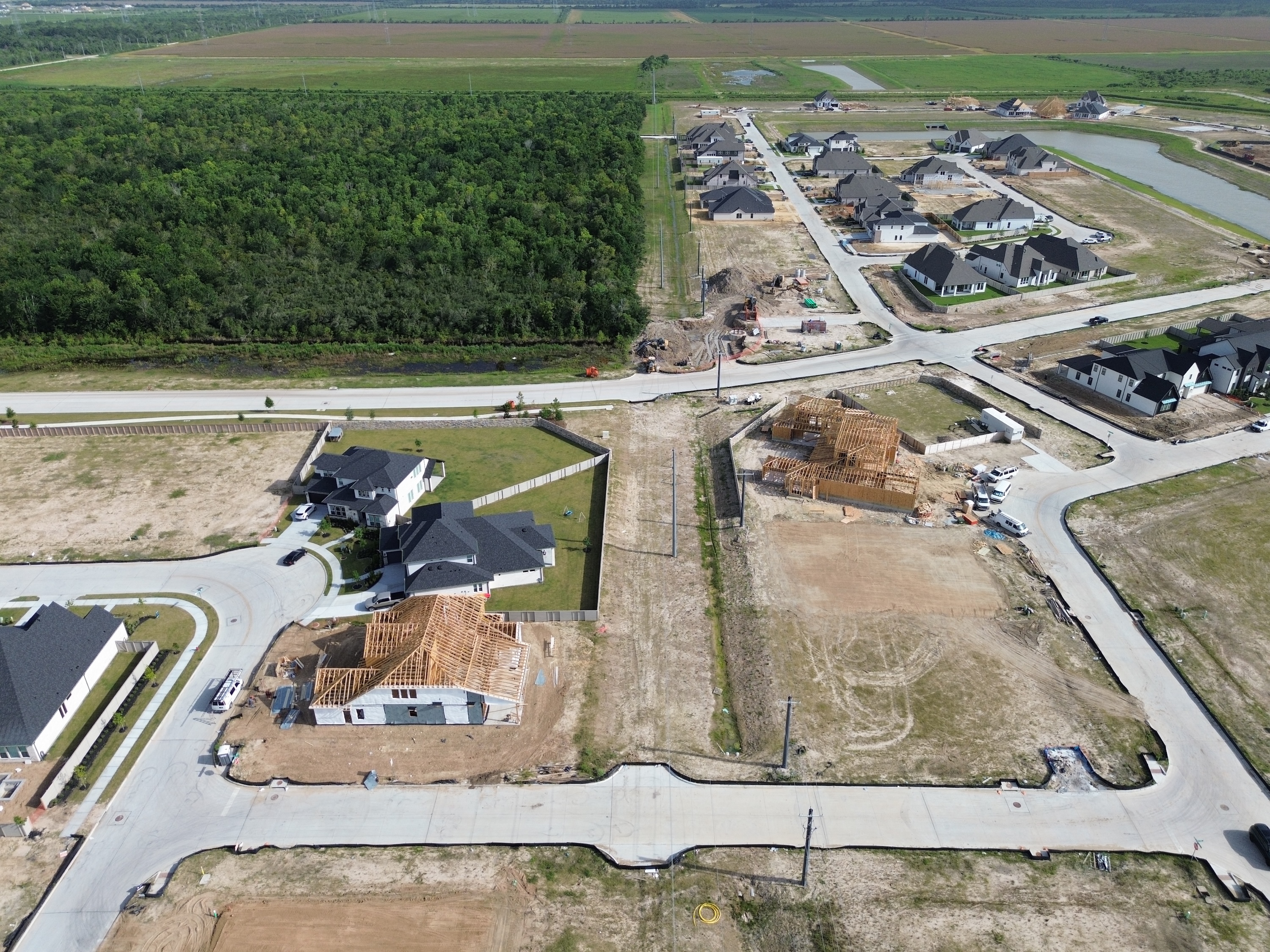

Drone-level detail
Low altitude, high resolution
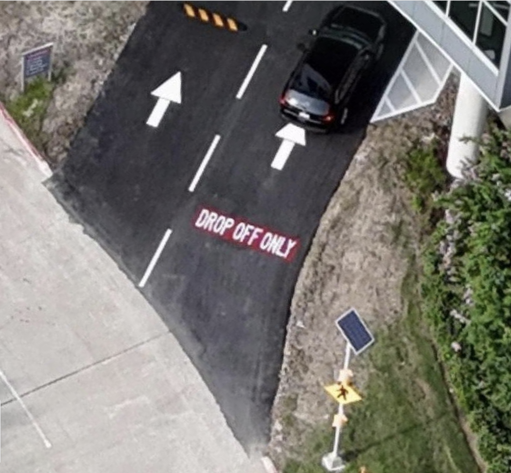

Standardized
Ready to explore
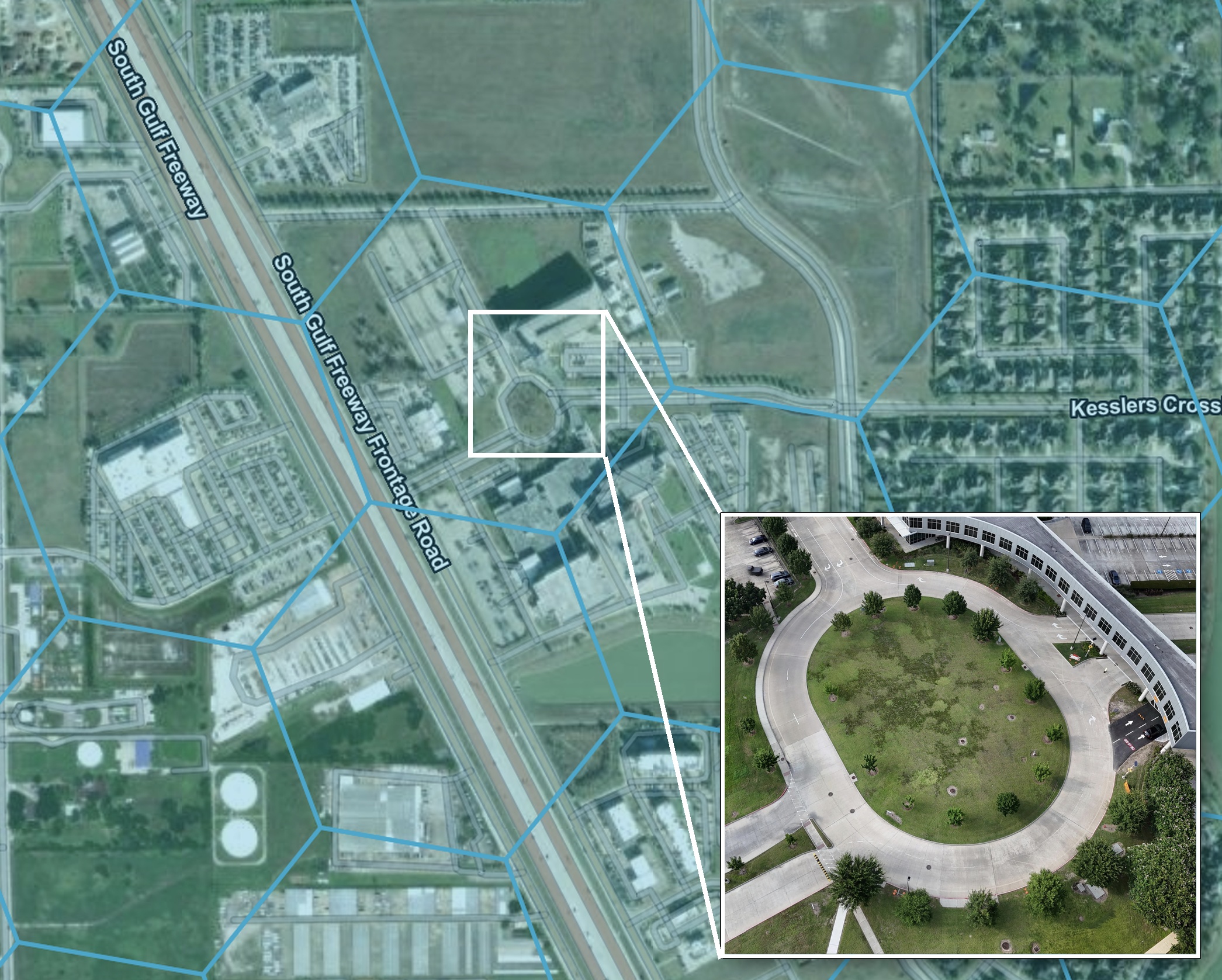
Fuel spatial pipelines with San Diego imagery from Spexi
The core computer vision tasks your AI models rely on, fueled by high-resolution San Diego drone data.
.webp)
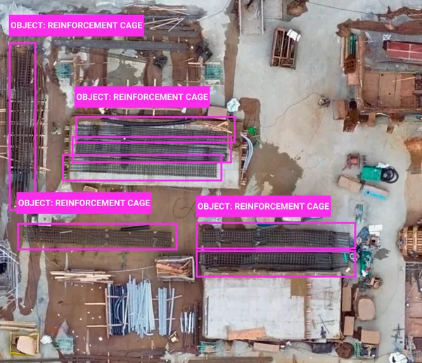
Object detection
Use case: Street mapping, object classification
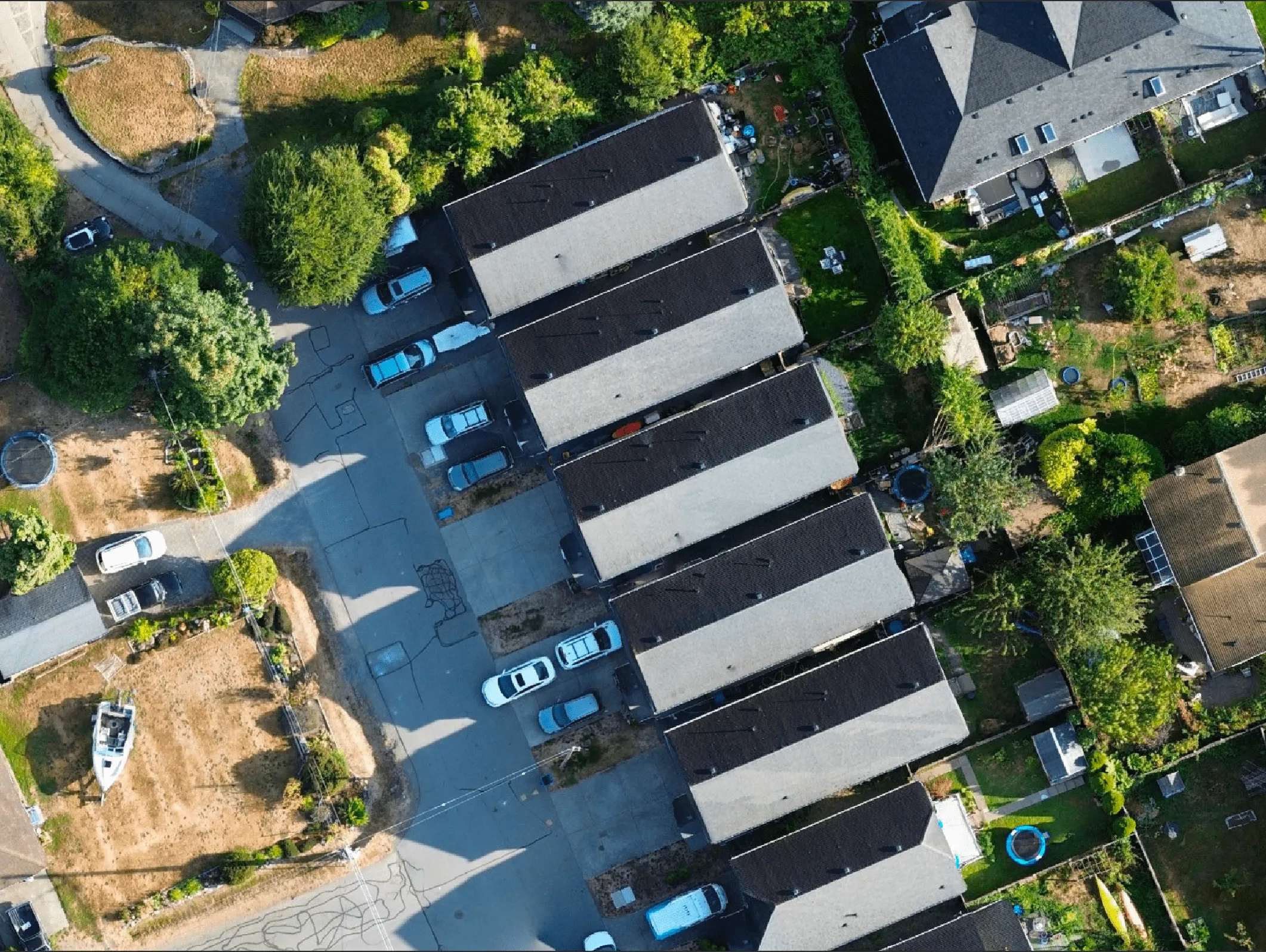
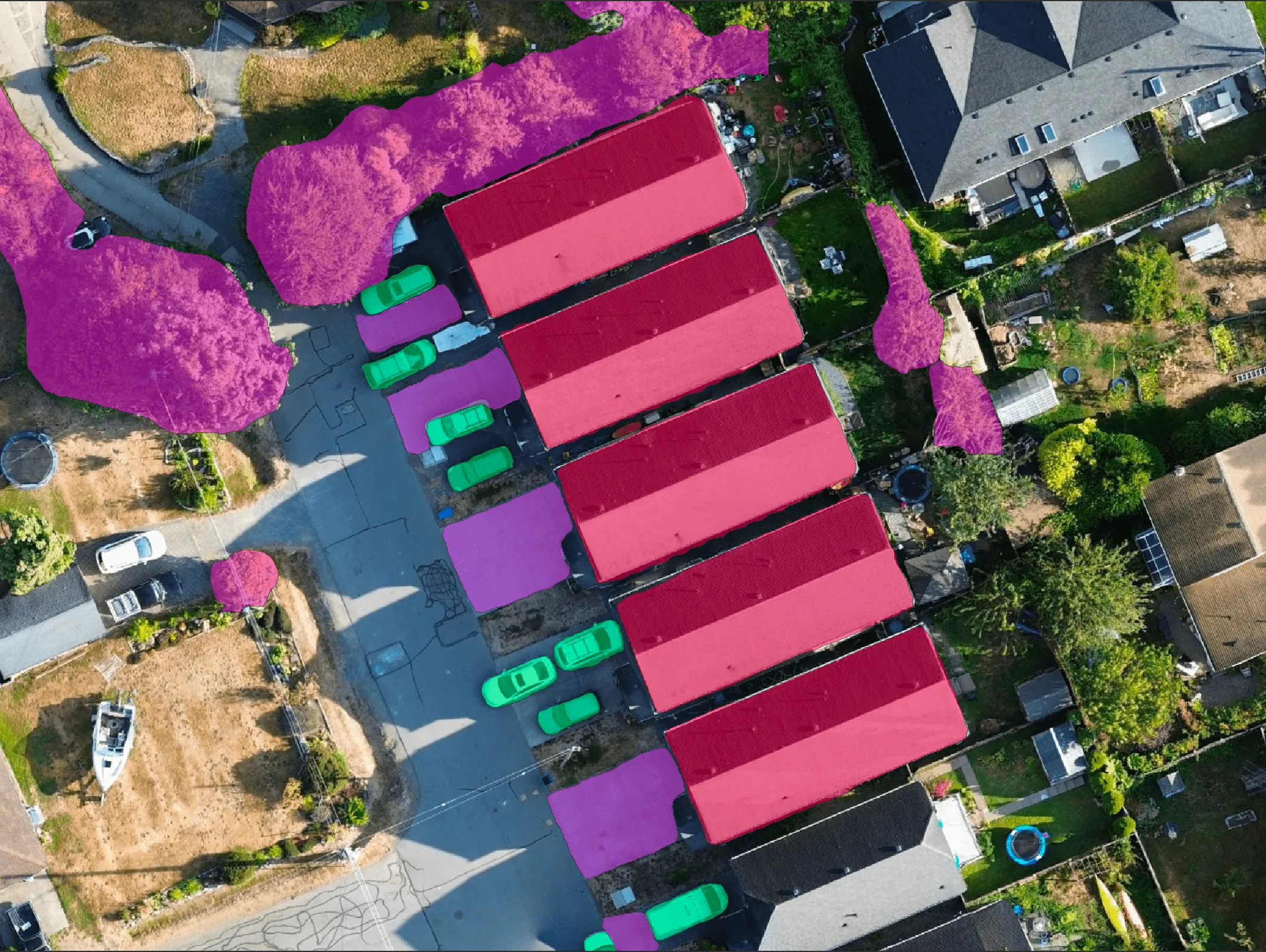
Segmentation
Use case: Roof damage detection, construction progress, land cover detection
Change detection
Use case: Post-disaster analysis, encroachment alerts
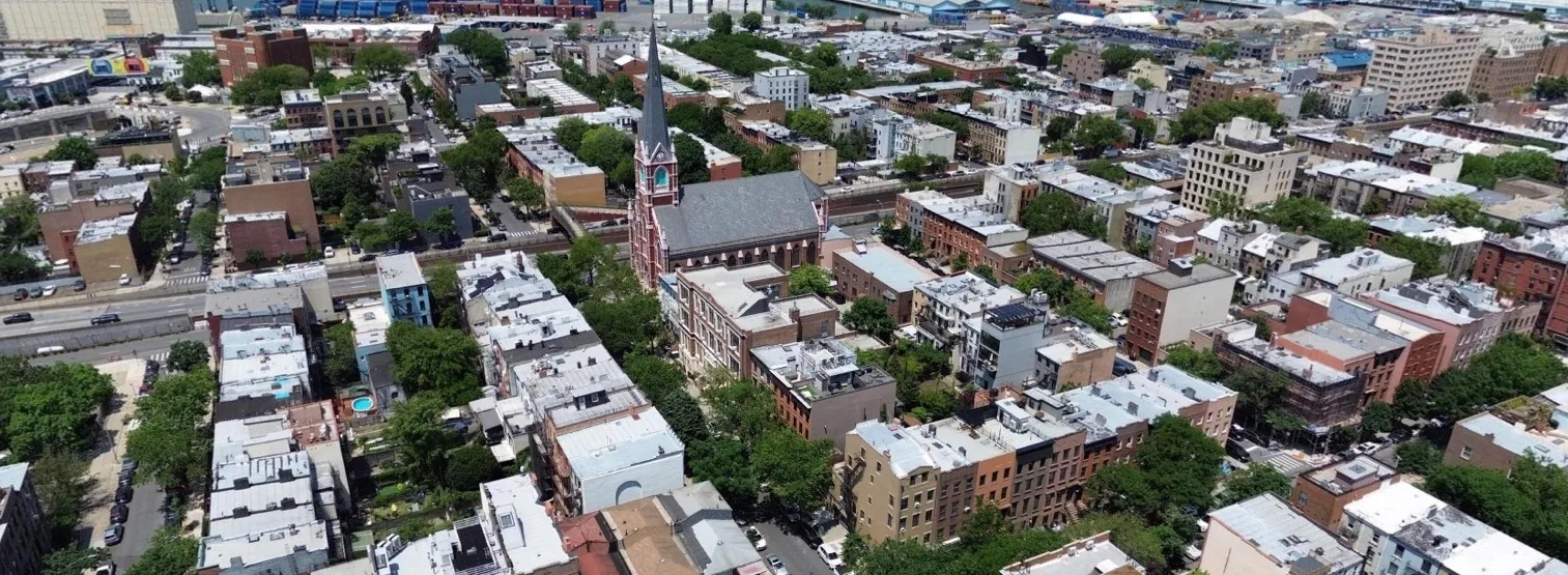
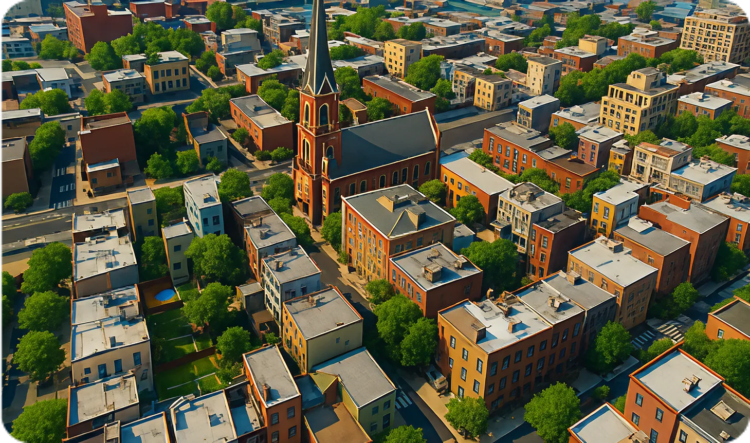
Digital twin creation
Use case: Infrastructure & urban modeling, autonomous navigation
Synthetic data generation
Use case: AI model training (detection, mapping, risk assessment)
Give your spatial pipelines
the data they need
Continuously updated drone imagery and geospatial intelligence powering the next generation of real-world AI systems