

Spexi’s orthomosaic imagery supports a wide range of industries and next-gen tech applications:


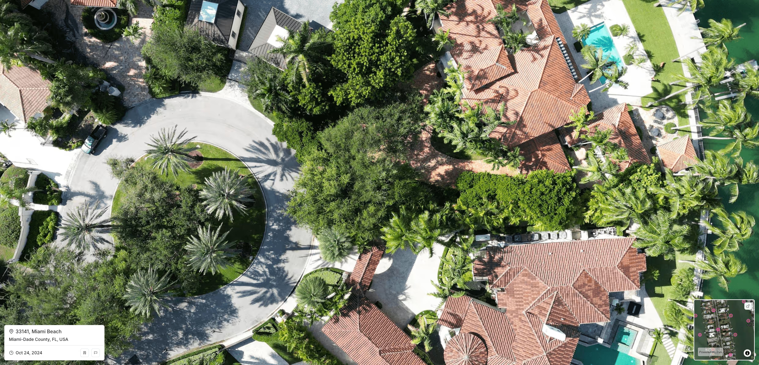
Get standardized, ultra-high-resolution imagery with our drone-powered network. We deliver insight-rich images up to 1 cm resolution, ready for immediate analysis in your favorite GIS tools. Faster, smarter, and far more efficient than legacy options.
.avif)


Our speakers are industry experts, thought leaders, and innovators who bring valuable insights and real-world experience to the stage.


Government, insurers, AI companies, and infrastructure teams all rely on Spexi to unlock new value from aerial data. Explore how we’re helping them move faster, work smarter, and see more.


