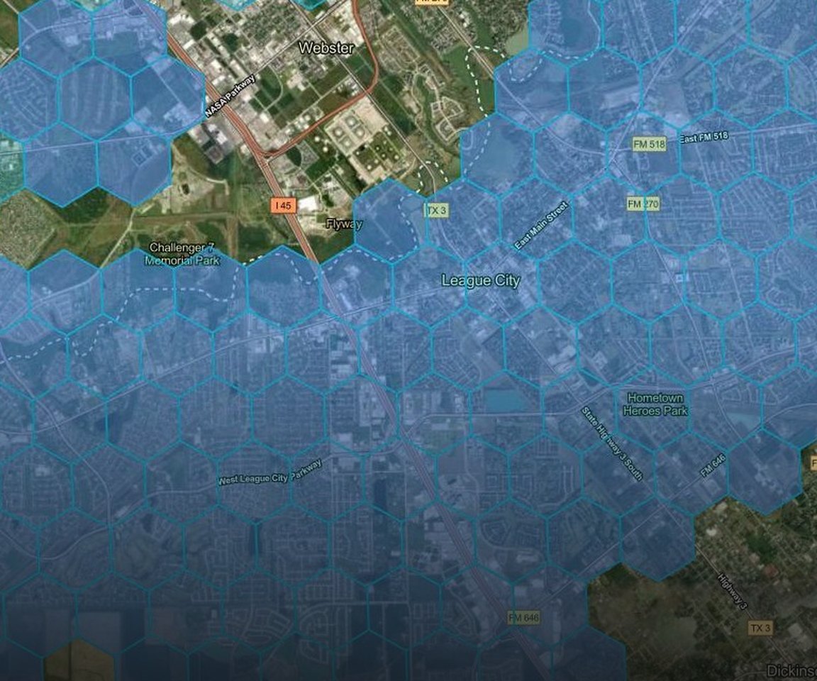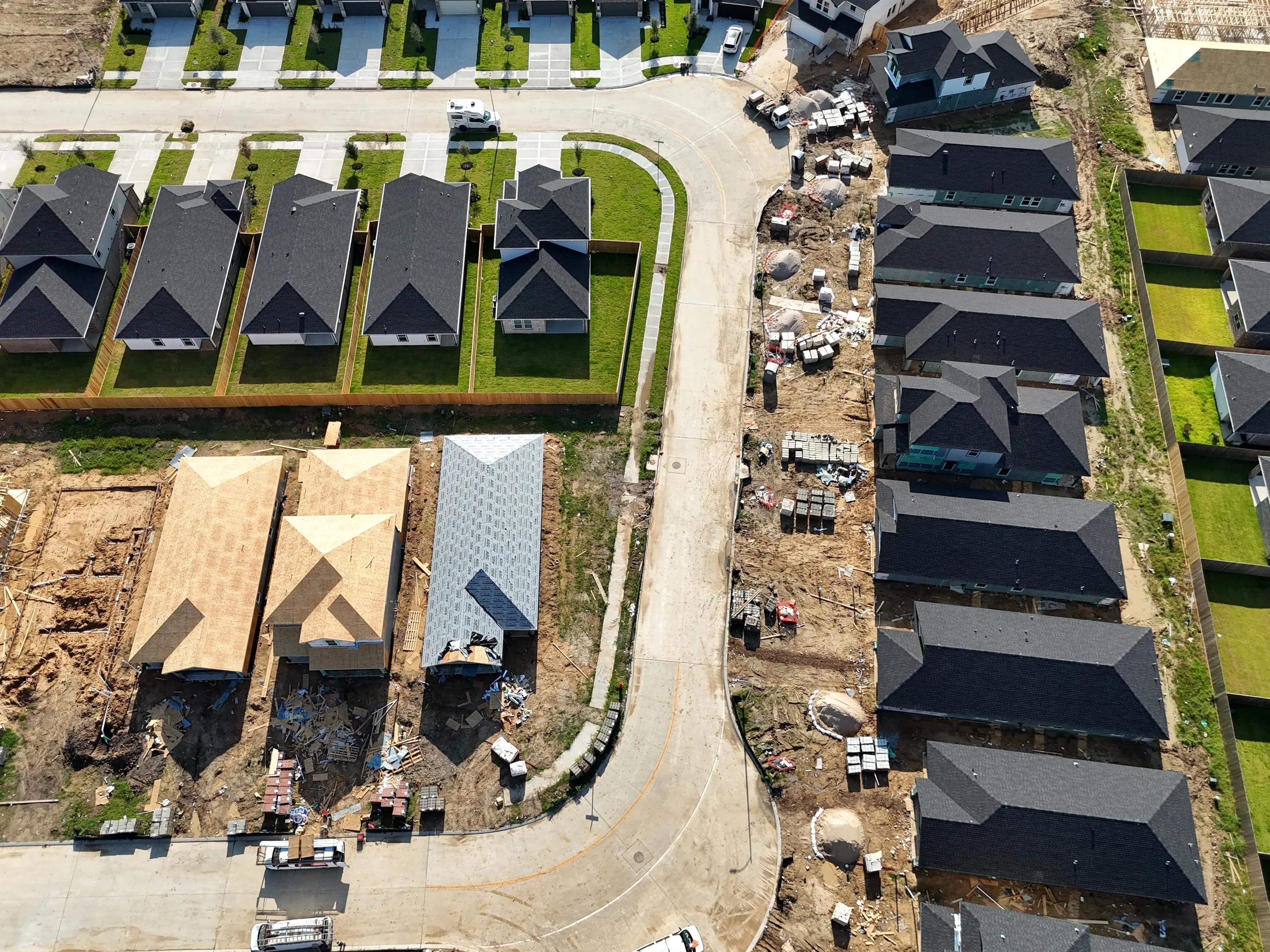
Aerial imagery sharper than a plane can capture
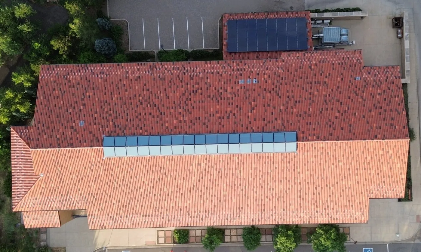
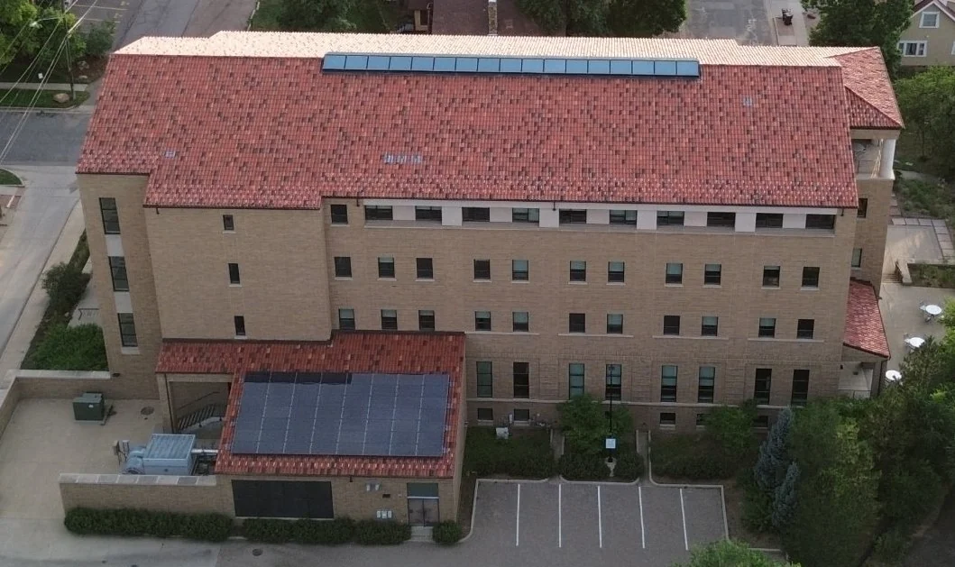
Straight-down imagery at 2.8 cm per pixel, plus 30° and 60° angled views, captured by Spexi's network of local drone pilots.

“Using Spexi's imagery has reduced field visits, streamlined planning, and improved service delivery.”
Cheryl Trent, Data Services & Analytics Manager, City of Kelowna
Book a demo
A live walkthrough of Spexi imagery and the World Viewer.
See the difference at street level
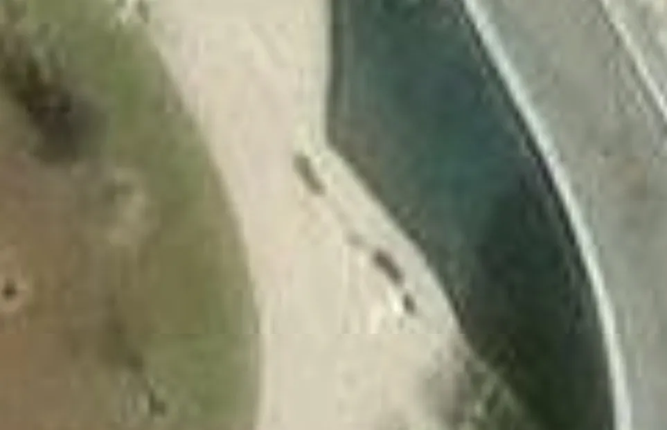
The same drop-off lane from an airplane flyover and a Spexi drone capture. Drag to compare.
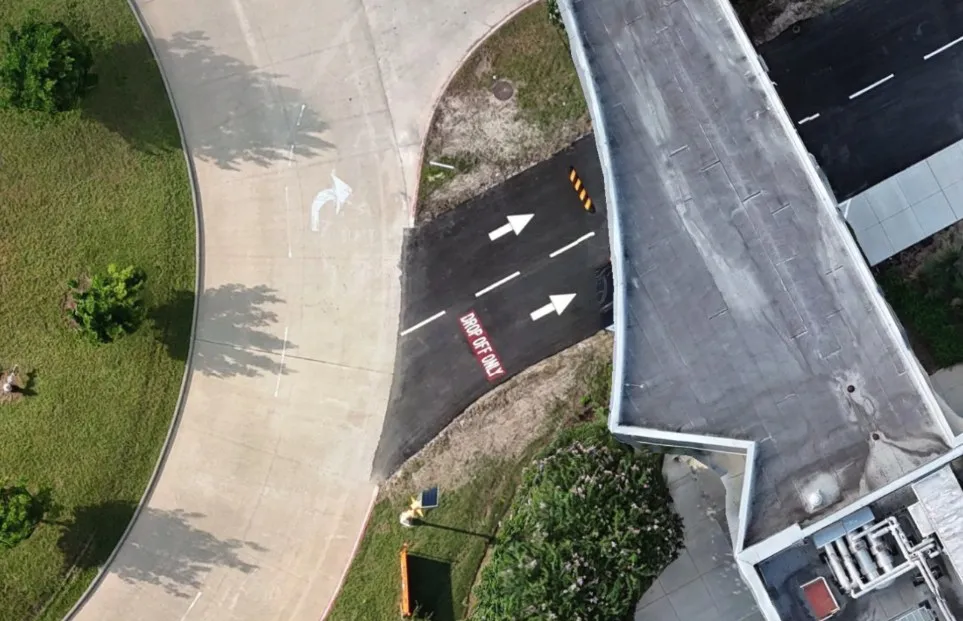
Sharper detail
Read lane markings, curbs, rooftop equipment and individual shrubs in straight-down imagery.
More than a top-down view
Straight-down plus 30° and 60° angled views, so you can see building faces, not just roofs.
Cities captured
Imagery captured by local drone pilots, viewable in the Spexi World Viewer or pulled into ArcGIS and your own apps.
Straight-down and angled, from the same flight
Built for the teams that run a city
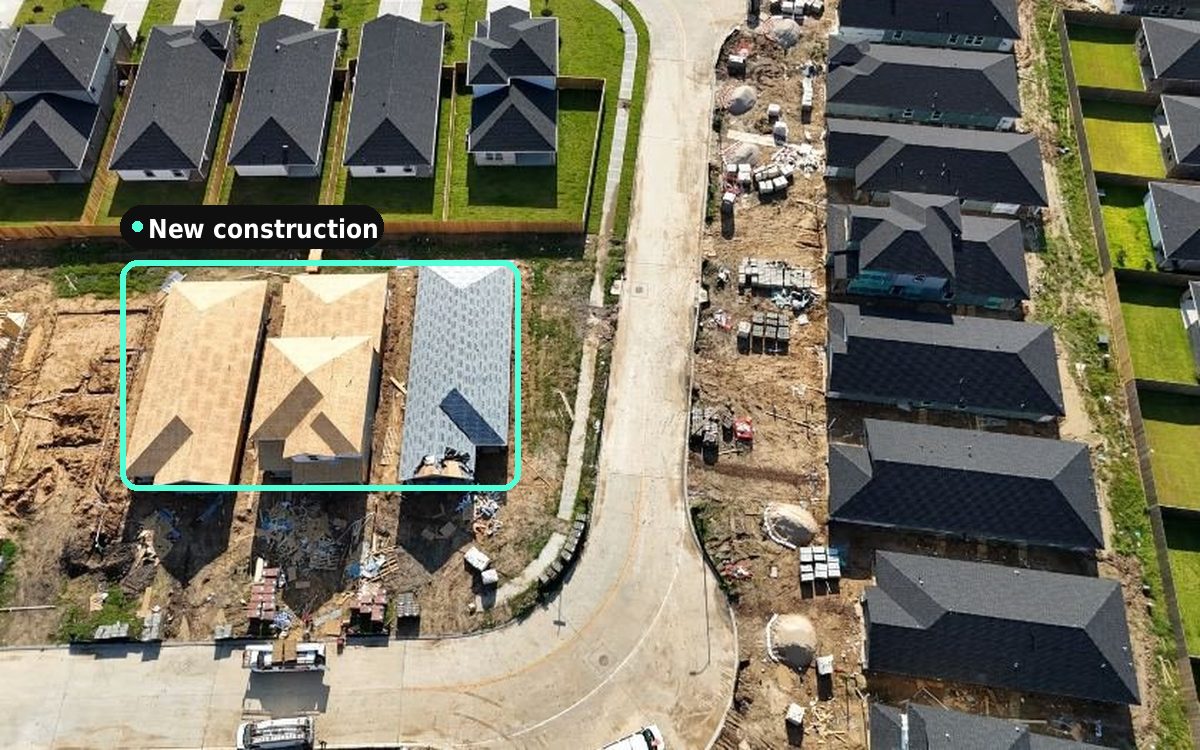
Planning and development
See what's been built, cleared or subdivided, and keep land-use layers current.
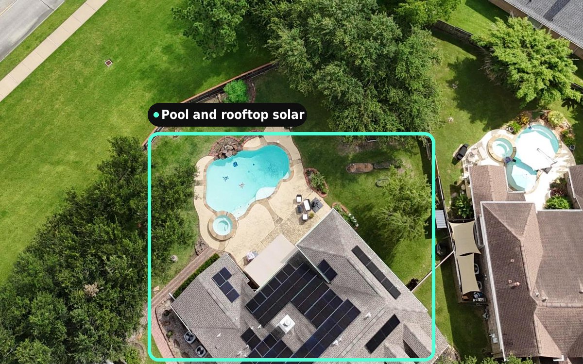
Assessment
Confirm new builds, additions and demolitions before the annual roll closes.
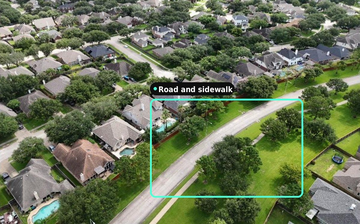
Public works
Keep road, sidewalk and right-of-way layers current and plan capital work from your desk.
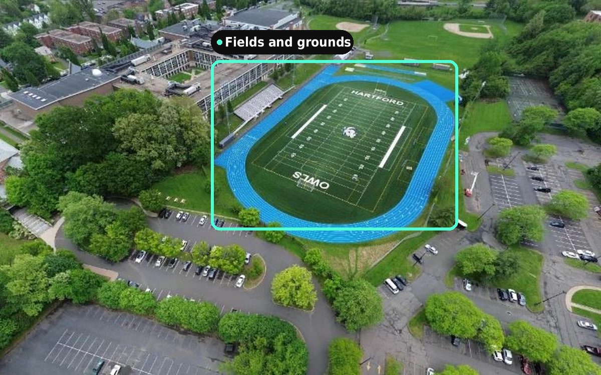
Parks and recreation
Monitor trails, tree canopy and park assets, and check storm damage before sending crews.
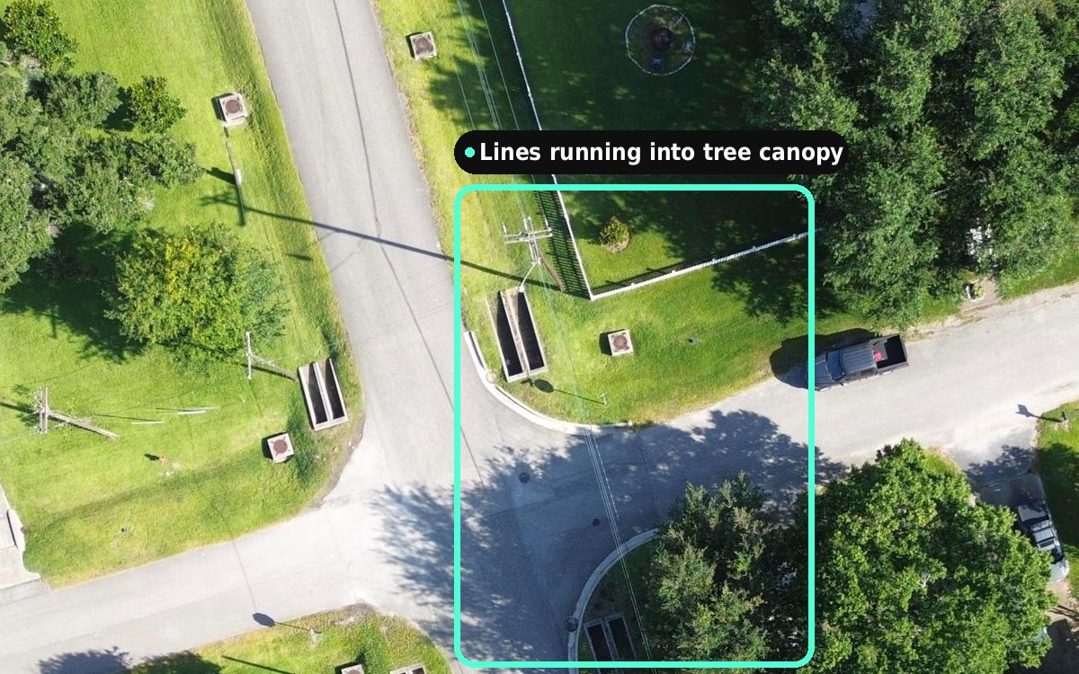
Energy and utilities
Track vegetation growth and right-of-way encroachment around distribution assets.
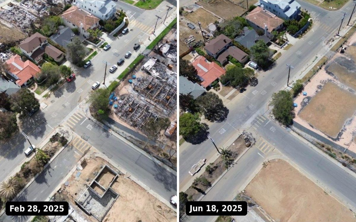
Emergency management
Compare before and after an event, and track damage and cleanup.
“Using Spexi's imagery has reduced field visits, streamlined planning, and improved service delivery.”
See Spexi imagery for yourself
We'll walk you through straight-down and angled imagery in the Spexi World Viewer and answer your questions.
Book a demo